Cramond Roman Fort: A Roman Military Site in Scotland
Site at a Glance
- Rating
- 4.2
- Popularity
- Very Low
- Country
- United Kingdom
- Primary era
- Classical
- External website
- Open
- Eras represented
- Classical
- Civilizations
- Roman
- Site type
- Military
- Remains
- Fort
On this page10 sections
History
Cramond Roman Fort is a Roman-period archaeological site at Cramond in Edinburgh, Scotland, United Kingdom. Roman forces established the fort around AD 140 during the construction of the Antonine Wall, the second-century frontier barrier across central Scotland. It remained in use until about AD 170, when the army withdrew south to Hadrian’s Wall.
Roman names and the Antonine occupation
The settlement may correspond to Rumabo, a place listed in the seventh-century Ravenna Cosmography, a geographical compilation of the Roman world. Its earlier name may have been Carumabo. An older identification with Alaterva is no longer accepted. Alatervae is now understood as an epithet, or descriptive title, applied to the Matronae, female divine figures worshipped in groups in parts of the Roman Empire.
Cramond may have belonged to a chain of Roman forts that included Carriden and Inveresk. Its position beside the River Almond, where the river enters the Forth, probably provided a natural harbour during the Roman period. A civilian settlement developed outside the fort, while some native occupation continued after the Severan period and possibly lasted into the fourth or fifth century.
Severan reoccupation
Roman forces returned during Emperor Septimius Severus’s major Scottish campaign of approximately AD 205 to 214. Severus was the Roman emperor responsible for the last major Roman military intervention in Scotland during the early third century AD. At Cramond, the fort was reoccupied and enlarged, with a later phase dated broadly to around AD 208 to 214.
Several inscriptions found at or around Cramond relate to the military presence. A silver sword pendant indicates that a high-ranking beneficiarius served at the fort at some point. This was a Roman military official with a special appointment, often involving administrative or policing duties rather than ordinary legionary combat.
Later use and archaeological investigation
Excavations during the late 1970s and 1980s examined the Roman road leading into the fort. The road had four phases of construction or modification during the Antonine and Severan periods. Medieval and post-medieval material on its surface shows that the route continued in use until the seventeenth or eighteenth century, when the area became part of the designed landscape of Cramond House.
Investigations carried out over approximately the last fifty years, including excavations in 1998 and 2001 before an extension to Kirk Hall was built, revealed further sections of the fort’s defensive system and the approach road.
Remains
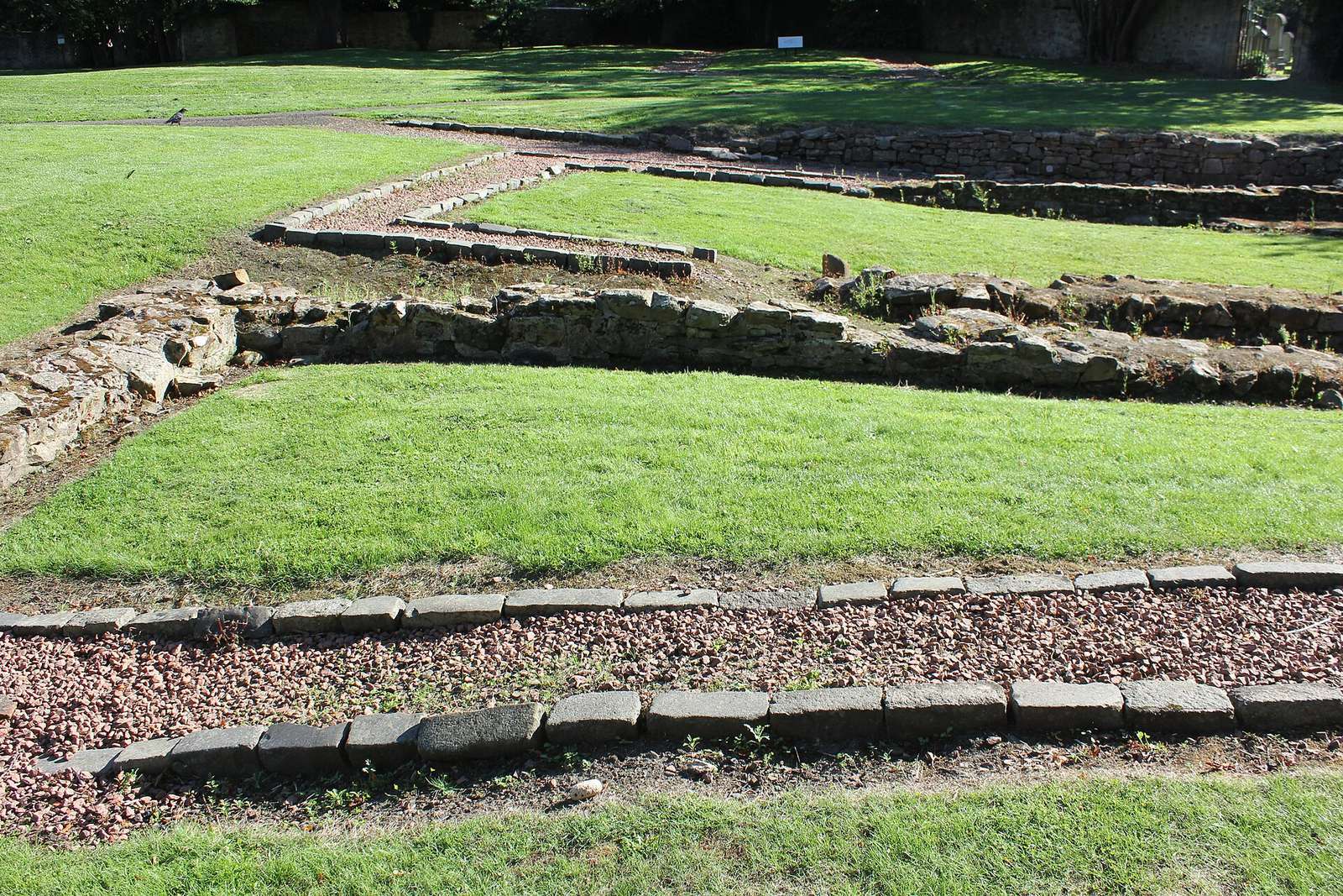
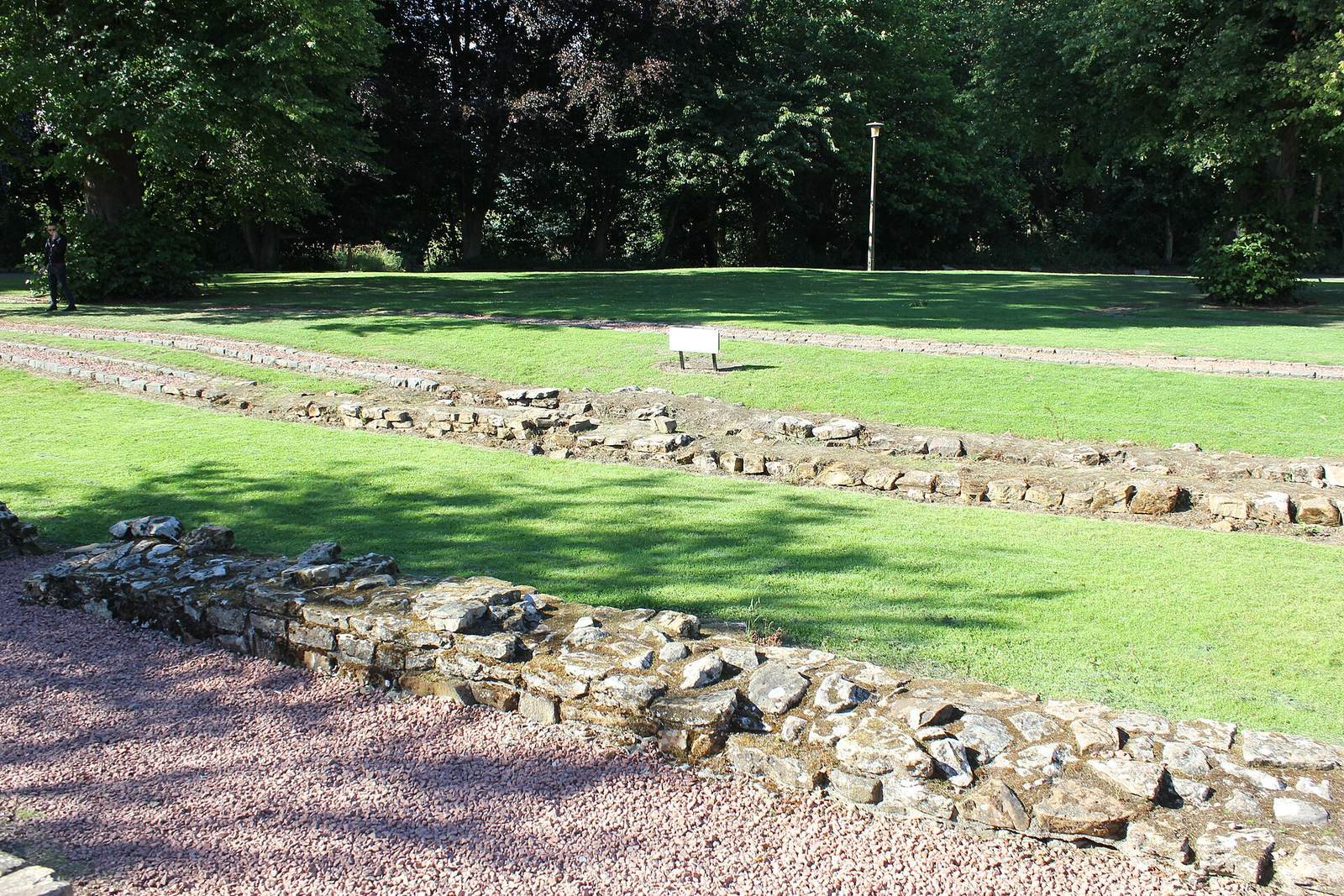
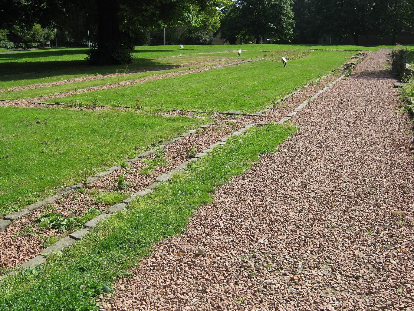
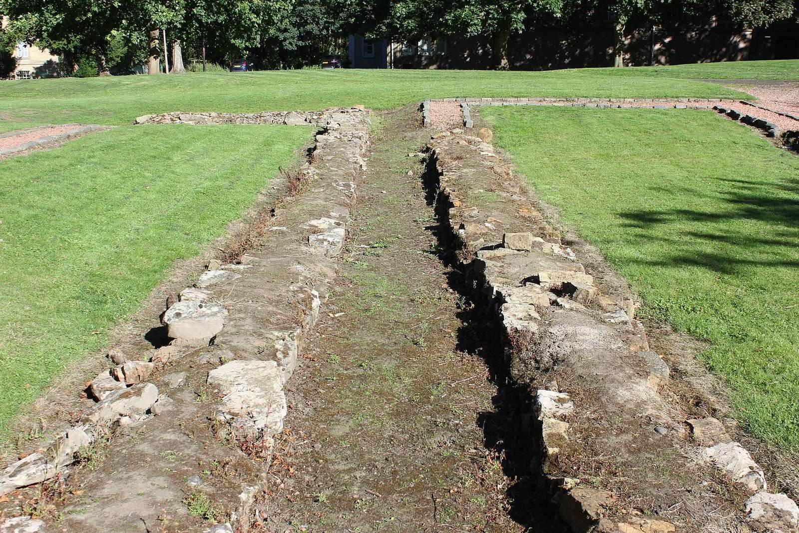
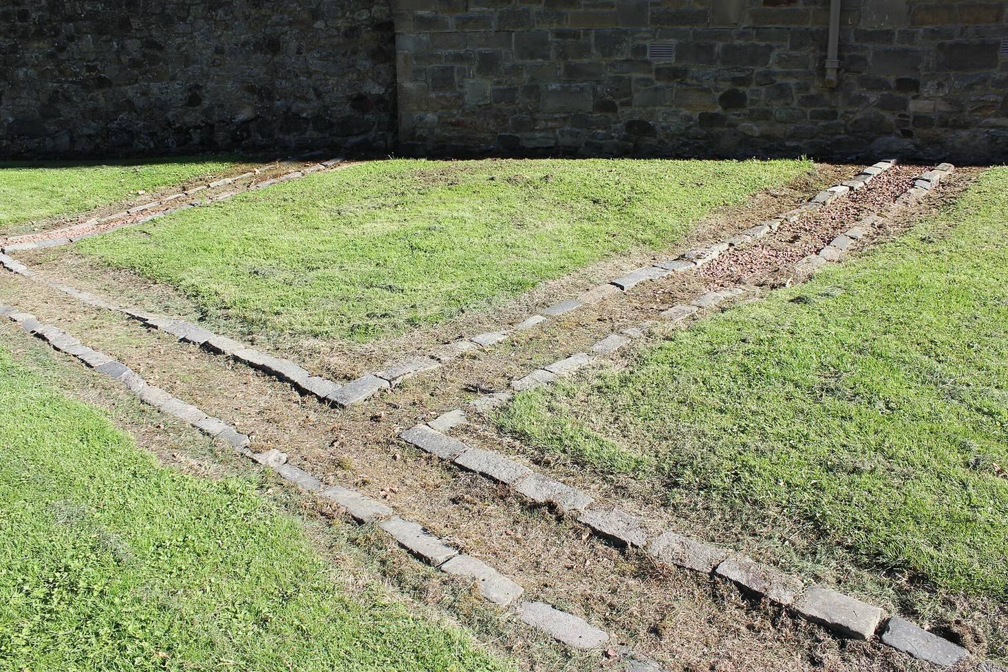
The fort stood beside the River Almond at its mouth into the Forth. Part of its plan is visible in open parkland, while other sections and associated structures lie beneath later village buildings. The surviving evidence combines reconstructed outlines, excavated defenses, Roman roads, stone inscriptions, and sculptural fragments.
Fort buildings
The visible reconstructed outline includes the headquarters building, granaries, a workshop, and other fort structures. The former headquarters and bathhouse are interpreted through information panels at the site, helping identify their positions within the Roman settlement.
Defenses and approach road
Excavations in 1998 and 2001 identified the defensive ditches surrounding the fort and the road approaching it. The road was built or altered in four phases during the Antonine and Severan periods, and later layers show that it remained in use into the post-medieval period.
Altars and military inscriptions
A stone altar discovered in the grounds of Cramond House was dedicated by either the First or Second Cohort of Tungrians to the “Alatervan Mothers and Mothers of the Parade-ground,” Matres Alatervae et Matres Campestres. Other stone finds include a centurial stone belonging to the Second Augustan Legion and an altar to Jupiter Optimus Maximus erected by the Fifth Cohort of Gauls. A centurial stone was an inscribed marker recording work or responsibility assigned to a Roman military century, a subdivision of a legion.
The Cramond Lioness
The Cramond Lioness was recovered from the mouth of the River Almond in 1997. Carved from non-local white sandstone, it shows a lioness devouring a naked, bearded male torso. The sculpture probably formed part of a large tomb monument for an important Roman officer, possibly the fort commander, or for another important dignitary.
Evidence of earlier settlement
Stone tools from the Mesolithic period have been recovered from the fort. A Late Mesolithic site immediately to the north dates to approximately 8600 to 8400 BC. These finds indicate that the Roman fort was built over one or more much earlier Mesolithic sites.