Compierre (Champallement): A Gallo-Roman Vicus in France

Site at a Glance
- Rating
- 4.2
- Popularity
- Very Low
- Country
- France
- Primary era
- Classical
- External website
- Open
- Eras represented
- Classical
- Civilizations
- Roman
- Site type
- City
History
The Archaeological Site of Compierre in Champallement, France is a Gallo-Roman vicus founded in the late Republic and occupied from the 1st century BCE into the 4th century CE. Built during the Roman period, the settlement developed along a major Roman route that connected Augustodunum (Autun) to Intaranum (Entrains‑sur‑Nohain) and then to Autranchum (Auxerre), making it an important stop on provincial communications and trade. At its height the agglomeration stretched for about 800 metres, sheltered a population estimated between 1,000 and 2,000 people, and centred on a porticoed public square dominated by a richly finished temple, which together marked the site as a rural urban node in Roman Gaul.
Occupation began in the late Republic and continued through the imperial centuries as the settlement grew into a linear “city‑street” aligned with the road. Buildings and activity clustered along that axis, producing a forum with covered walkways and adjacent workshops, houses and taverns. A theatre to the south served public gatherings, while cemeteries lay beyond the living area. Local natural resources—sandstone for building, clay for pottery, iron for metalworking, timber and springs—shaped the economy and located specialised craftsmen close to raw materials.
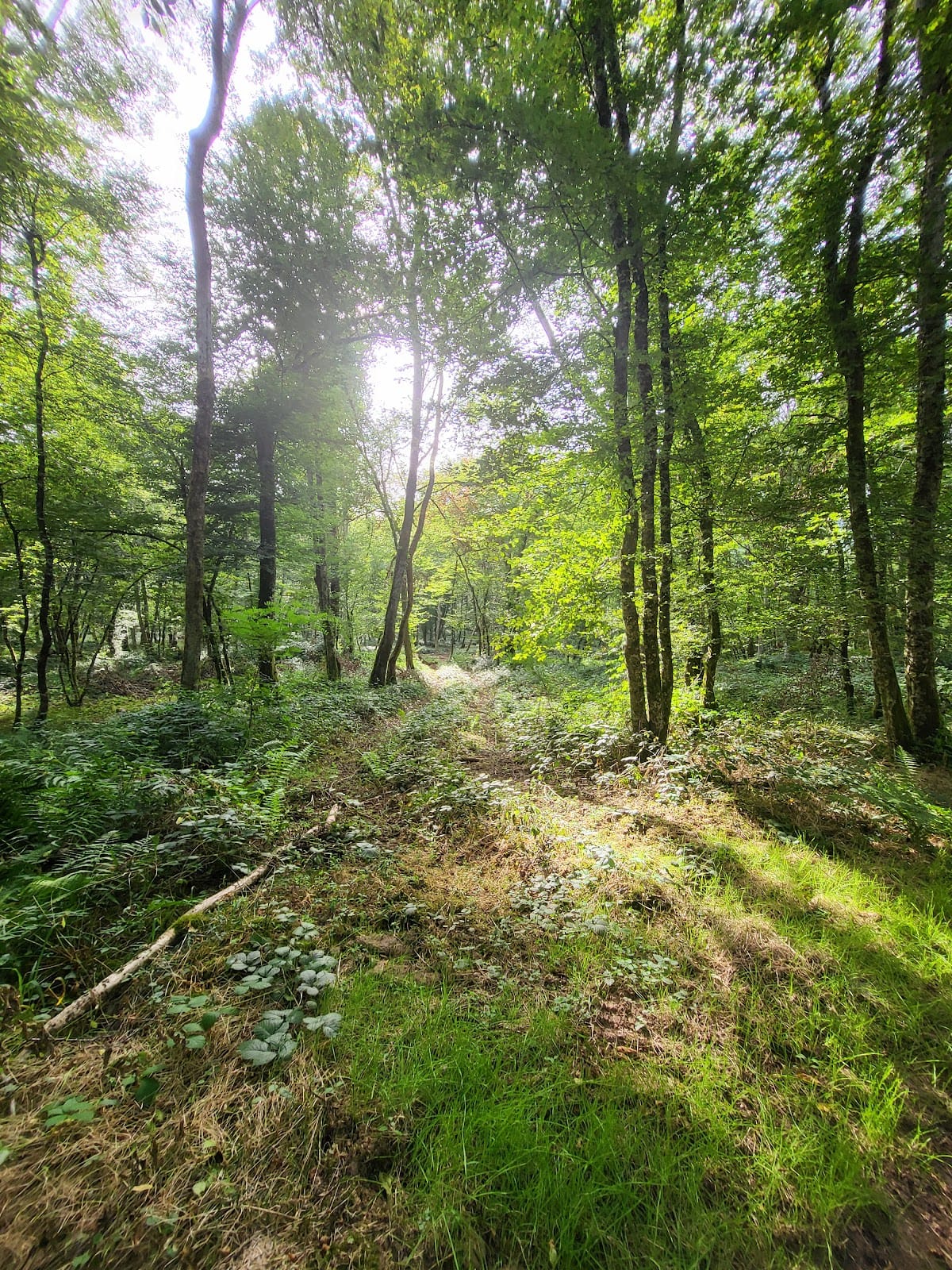
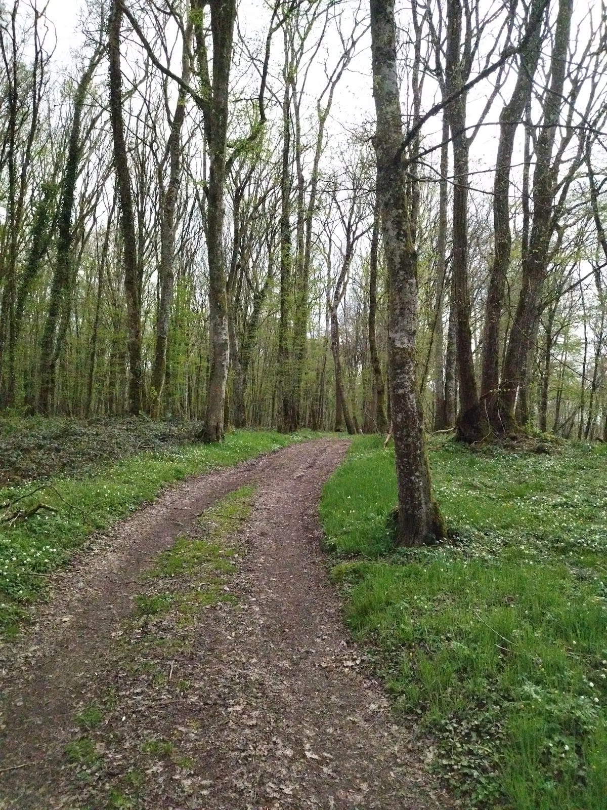
At the end of the 4th century CE the community was emptied and abandoned; contemporaneous testimony records that inhabitants left carrying their possessions and that buildings were later taken down and their stone and other materials reused in nearby villages. After abandonment the settlement became a source of building material and was gradually hidden beneath forest cover. A local surveyor rediscovered the ruined agglomeration in 1824, finding a well and initiating further digging, and a sequence of excavations and restorations followed during the nineteenth and twentieth centuries. From the 1960s onward professional campaigns and conservation work concentrated around the sanctuary and key workshops, a regular 50‑metre grid referencing system was laid out, and the State secured ownership of much of the site between 1979 and 1986. Excavation has touched only a small portion of the total area, and the ruins remain largely present as low masonry and foundations set in woodland.
Remains
The settlement appears on the ground as a long, narrow built strip roughly 800 metres long and between 100 and 200 metres wide, organised along the Roman road. A central forum lay alongside that main axis and was enclosed on at least one side by porticoes, with the sanctuary positioned to dominate this public square. Roads ran on both the eastern and western margins of the agglomeration and the forum was oriented to the cardinal points while constrained by the linear street plan.
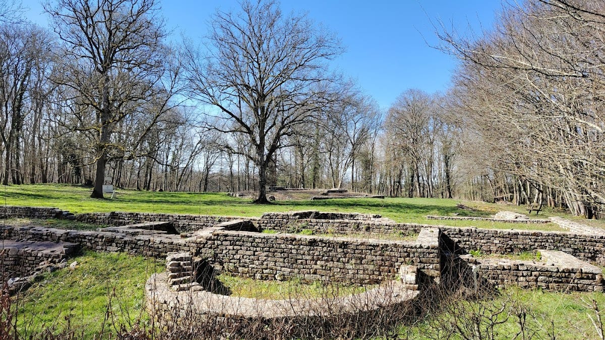
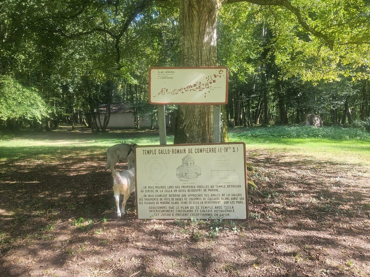
The sanctuary is the most distinctive monument. Its plan combines an outer polygonal gallery with a circular inner cella, creating an unusual concentric composition. Excavations recovered fragments of white limestone columns and marble facing, and an altar once described as marble-capped stood within the inner chamber. Two underground springs run beneath the cella and were reported to intersect at its centre, where antiquarians also recorded two lines described as a solar network. The identity of the temple’s dedicatee is not preserved in the surviving record. Substantial masonry survives around the sanctuary, with parts of walls standing over a metre in height and foundations preserved to a similar depth.
The theatre lies to the south of the main agglomeration and was revealed in mid-nineteenth-century work; contemporary estimates attributed it a capacity on the order of three to five thousand spectators. On the settlement’s commercial side, a row of artisan shops faced the forum and several specialised workshops have been identified by excavation and sondage. These include a bone-working atelier, a potter’s workshop with evidence of a firing hearth positioned at the oven entrance, a metalworker’s workshop with sparse remains, and the so-called house of the butcher. Domestic quarters include houses fitted with storage cellars and ground-floor shops that opened onto the street.
Burial grounds lie outside the living area and were located by trenching, while a hypocaust (underfloor heating system) was found in the sector immediately north of the sanctuary and investigated further in later fieldwork. Building materials on the site reflect local supply: sandstone blocks and fragments, fired clay associated with the potter’s installations, traces of ironworking, timber elements and abundant spring water. Above ground the settlement largely survives as foundations and low walling set in forest; in some places small raised masonry has been added to make foundations visible. Several sectors remain overgrown and lie on private land, limiting access. A regular square grid of 50‑metre units, laid out with its origin at the temple cella, provides the principal frame for mapping and referencing the ruins on the ground.