Châtel-Argent: A Medieval Savoyard Castle Ruin in Italy

Site at a Glance
- Rating
- 4.4
- Popularity
- Low
- Country
- Italy
- Primary era
- Medieval
- External website
- Open
- Eras represented
- Medieval, Modern
- Civilizations
- Kingdom of Sardinia
- Site type
- Military
- Remains
- Castle
On this page11 sections
History
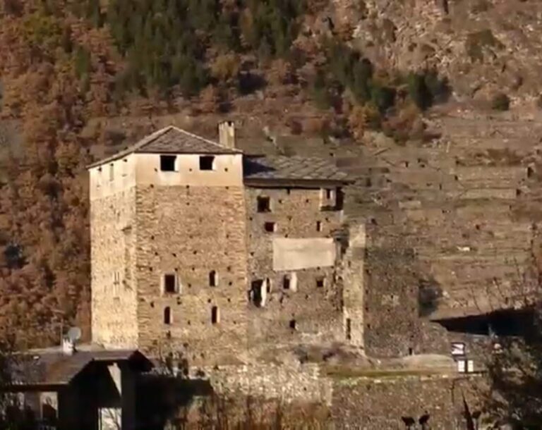
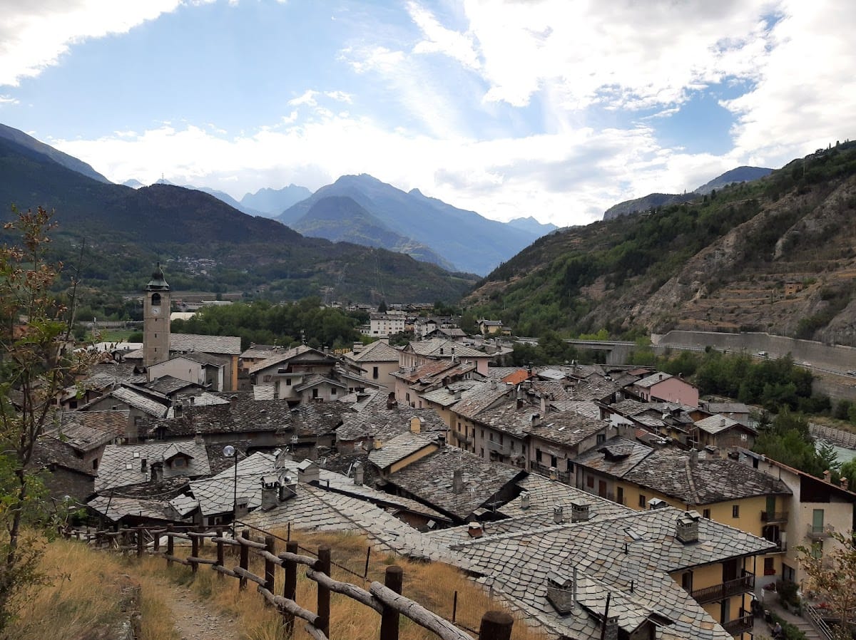
Châtel-Argent is a medieval hilltop castle ruin in Italy, above Villeneuve in the Aosta Valley. Built under the rule of the House of Savoy, the visible complex belongs to the thirteenth century and occupied a strategic position above the Dora Baltea, allowing control of the central valley.
Early occupation and the Savoyard fortress
The rocky marble terrace had been occupied in prehistoric times. An upright stone monument shaped to suggest a human figure, known as a protohistoric anthropomorphic stele, was found there. The site was later fortified during the period of the Salassi, an ancient people of the Aosta Valley, and again in Roman times.
The name Châtel-Argent may refer to a mint believed to have operated on the terrace. The Latin name Castrum Argenteum was in use around 1175 and 1176, while the name Châtel-Argent appears by 1176. The visible castle was built in the thirteenth century, although its precise construction date remains uncertain. Its design has been attributed to James of Saint Georges, a military architect associated with the counts of Savoy, and a reconstruction is placed around 1274 and 1275 during the rule of Count Philip I of Savoy.
A Savoyard administrative center
The castle was connected to Savoyard administration before the later reconstruction. A châtellenie account, referring to a territorial district governed from a castle, was issued in the count’s name in 1266 and 1267. In 1273, Philip I granted liberties to the villa Castri Argenti.
Châtel-Argent became the administrative center of a châtellenie, also called a mandement. Its district included Villeneuve, Châtelargent, Saint-Nicolas, Valsavarenche, Introd, Saint-Georges, Notre-Dame in the Val de Rhêmes, Arvier, Sarre, and Chezallet. The castle remained under the jurisdiction of the House of Savoy, although its barony was held by several Valdostan lordly families, including the Bard, Challant, and Roncas families.
Rather than serving as a permanent residence, the castle provided a refuge for its feudal holder in times of danger. Its position also supported the deployment of a substantial defensive force and the control of movement through the central Aosta Valley.
Later access and historical record
The paved stepped route called La Rampa was probably cut into the rock in 1817. An inscription in the stone records that year, when the route was created to provide access to the Church of Saint Mary. Châtel-Argent is currently managed by the Fondation Grand-Paradis.
The castle entered the visual record of European landscape art through two watercolors by William Turner, the English Romantic painter. Around 1803, Turner depicted Châtel-Argent above Villeneuve with Mount Emilius. In 1836, he made another view from above the road to Saint-Pierre, showing the castle, the Church of Saint Roch, the river, the old bridge, Villeneuve, the Val de Rhêmes, and the summit of Grande Rousse.
Remains
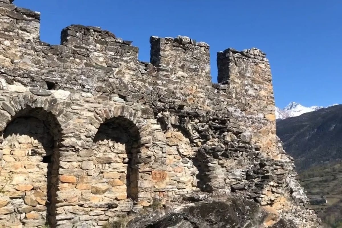
The surviving fortress occupies a rocky marble promontory overlooking the Dora Baltea, above the Saint-Roch hamlet and the main settlement of Villeneuve, at approximately 737 metres above sea level. Its fortified enclosure measures about 90 by 70 metres, covering roughly 6,300 square metres. The area was capable of accommodating up to approximately 2,000 people. Remains of a triple curtain-wall system enclose the terrace, while the highest ground contains the principal tower and another elevated building.
Fortifications and central buildings
The cylindrical donjon
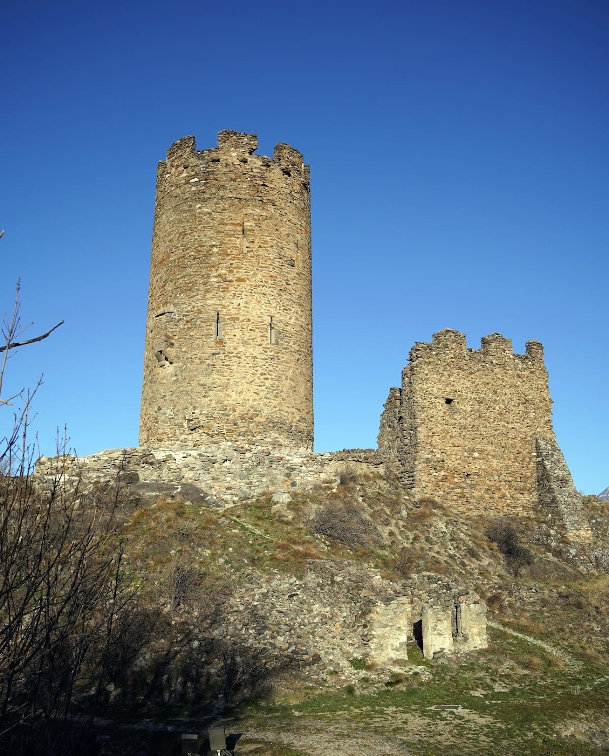
The best-preserved structure is the cylindrical donjon, the principal fortified tower of a medieval castle. It rises approximately 16 metres and has an external diameter of 9.5 metres. Its entrance is about 8 metres above ground level, a defensive arrangement that allowed the access ladder to be withdrawn during an attack.
The circular form reduced the perimeter requiring defence in relation to the area enclosed. This type of tower had been introduced into the Aosta Valley during the twelfth century. The donjon remains the visually dominant part of the castle ruins.
Central buildings and water supply
The thirteenth-century complex also contained additional building ranges, a cistern, and a chapel. Excavations identified the central building and the cistern, which occupied the highest part of the enclosure together with the tower. These features formed the internal core of the fortified complex.
Saint Columba and the quarry landscape
Church of Saint Columba
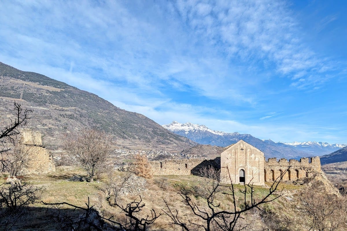
On the eastern side of the promontory, in front of the fortified area, stands the small Romanesque Church of Saint Columba. Romanesque architecture belongs to the medieval style before Gothic architecture and is characterized here by heavy masonry and rounded-arch decoration. The church is generally dated to approximately 1050 to 1070.
The church has a strongly archaic appearance. Its facade is divided into three vertical panels crowned by descending arches. The apse, the rounded end of the church, projects beyond the curtain wall and is decorated with pilasters and hanging arcades built in brick masonry.
Roman marble quarries
Traces of Roman quarries lie between the castle and the Church of Saint Columba. They extracted bardiglio, a silicate marble, and were followed by later quarry workings. A quarry north of the promontory remained active during a later period that extended into the modern era.