Castrum Resculum: A Roman Auxiliary Fort in Romania
Site at a Glance
- Popularity
- Low
- Country
- Romania
- Primary era
- Classical
- Eras represented
- Classical
- Civilizations
- Roman
- Site type
- Military
- Remains
- Fort
On this page19 sections
History
Foundation and frontier role
Castrum Resculum was a Roman auxiliary fort at Bologa, Romania, probably established during or soon after Emperor Trajan’s conquest of Dacia. The Dacian Wars brought the region under Roman rule in the early second century. An auxiliary fort housed non-legionary troops serving Rome’s provincial forces. Resculum guarded the northwestern sector of the Limes Porolissensis, the frontier system of the province of Dacia Porolissensis. Its garrison controlled movement through the frontier opposite the Ciucea Pass and helped defend the provincial boundary against peoples living west of Roman territory.
Resculum was also called Rucconium. Its earliest occupation phase is dated broadly to 101/106–110/114. The fort marked the southwestern starting point of the Limes Porolissensis, with a road linking it to Porolissum. An advanced outpost at Negreni, about 30 km down the Crișul Repede valley, was connected to the fort.
Garrison and civilian settlement
The first recorded garrison was Cohors I Ulpia Brittonum, the First Ulpian Cohort of Britons. This cohort, a Roman military unit, was probably transferred to Porolissum around 110/114. Cohors II Hispanorum, the Second Cohort of Spaniards, replaced it and remained at Resculum until Roman rule in Dacia ended. Cohors I Aelia Gaesatorum, the First Aelian Cohort of Spearmen, is attested in military diplomas from 133 and in inscriptions at the site from the late second century. It may have served alongside the Second Cohort of Spaniards.
A civilian settlement, or vicus, grew beside the fort. It served the military community, including soldiers’ families and veterans, as well as craftspeople, merchants, innkeepers, sex workers, and other service providers. A now-lost inscription cited by archaeologist Károly Torma gives the settlement the name Anartorum.
Later use and archaeological work
Resculum remained active from the second century into the fourth or fifth century, when it was abandoned. Archaeological excavations were directed by Mihail Macrea in 1936 and by Eugen Chirilă and Nicolae Gudea from 1967 to 1976. Further excavations took place in 2012 and 2013. Finds from Bologa were transferred to the Institute of Archaeology and Art History in Cluj-Napoca. In 2024, Resculum became part of the UNESCO World Heritage inscription for the Dacian Limes, alongside 276 other sites. The fort and archaeological site are also protected as Romanian historical monuments under a 2001 law.
Remains
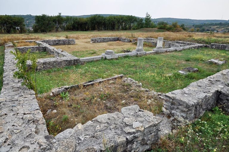
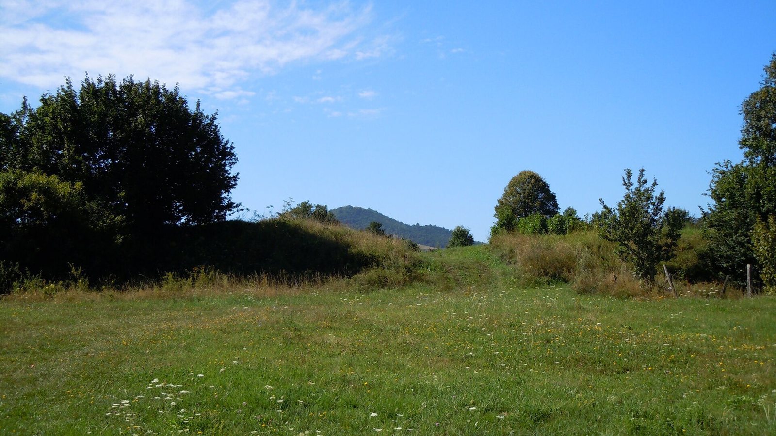
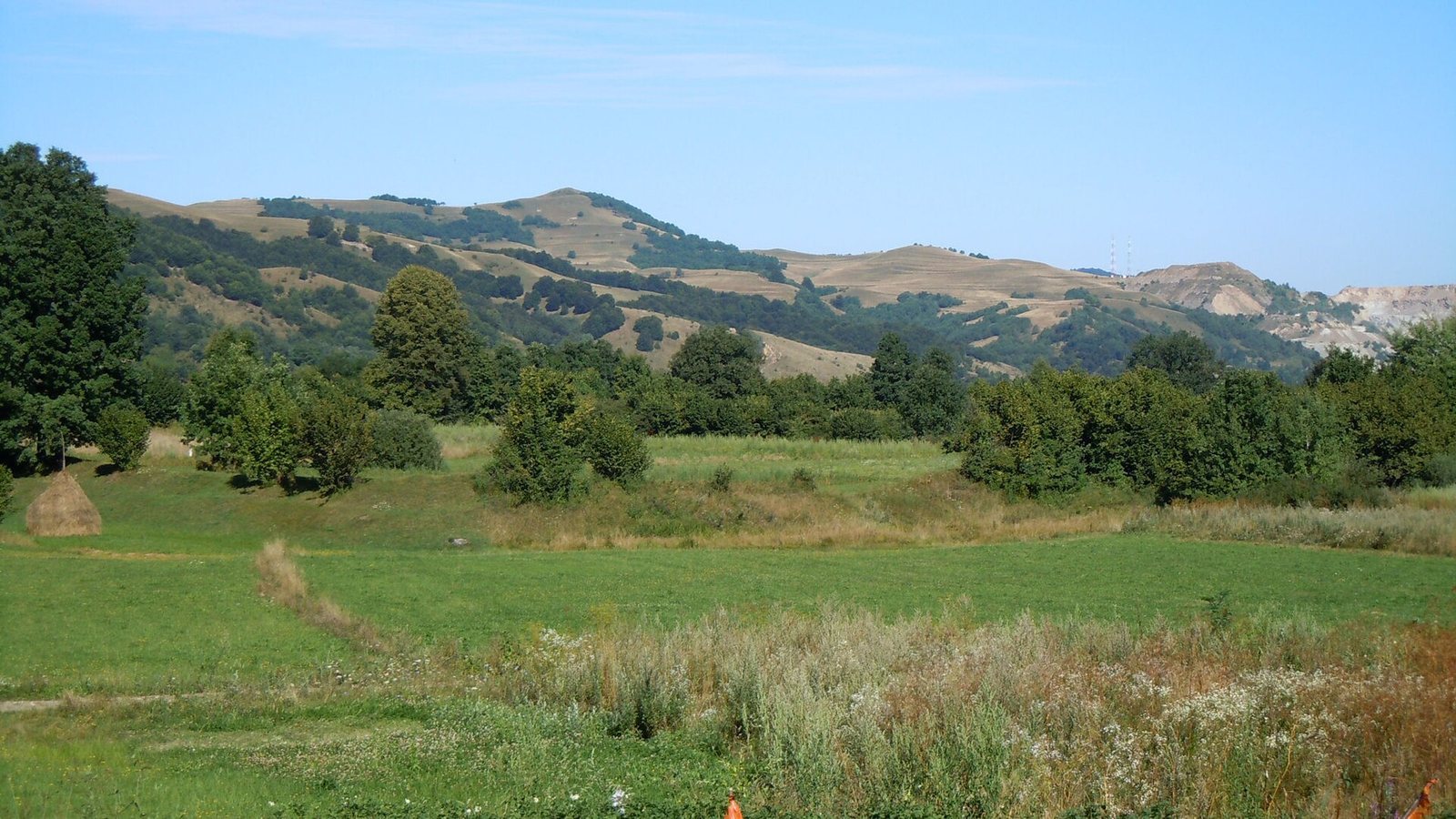
The fort occupies a raised clay terrace east of Bologa, at an elevation of 527 m above the meeting of the Criș and a tributary. Its earthwork perimeter is visible on all sides as a bank about 2 m high. The fort developed through timber-and-earth and later stone construction, with its long axis running east–west.
Timber-and-earth defenses
The earliest enclosure was rectangular, measuring 130 by 152 m and covering 1.98 hectares. Its earthen rampart, strengthened with timber, was about 9 m wide and 2 m high. Two defensive ditches, each about 8 m wide and 1.5 m deep, ran outside it. In a later phase, the long sides were extended south by about 60 m, creating a fort measuring 130 by 209 m and covering about 2.7 hectares. Builders removed the former southern rampart, used its material to fill the old ditches, and constructed a new rampart and two ditches. The fort’s principal internal roads were identified in this expanded layout.
Stone fort and circulation
Walls, ditches, and gates
Built in stone in the early third century, the fort kept the earlier orientation and measured 122 by 213.5 m, covering 2.65 hectares. Its defensive wall, 1.8 m thick, had rounded corners and was made from irregular stones set in mortar. Two ditches lay beyond the wall. They were interrupted at the front and rear gates, while the ditches at the left-hand principal gate were filled to create level access. Trapezoidal towers strengthened the corners; their recorded measurements were 3.75, 4.50, 4.50, and 5.50 m. The four gates averaged 5.50 m wide and were flanked by outward-projecting semicircular towers with individually varied designs.
Roads and internal arrangement
The internal plan was asymmetrical. The northern front portion and the southern rear portion were in an approximate 1:2 proportion: the main cross-road lay about 70 m from the northern wall and 135 m from the southern one. The main approach road ran more than 10 m west of the fort’s imagined central axis. Roads varied in width: the principal cross-road was 10 m wide, the approach road 8 m, the rear road 7 m, and the road beside the inner perimeter 3–4 m. The layout has been interpreted as possibly accommodating two military units; the unusually large commander’s residence has also been proposed as evidence for two commanders.
Fort buildings
Headquarters building
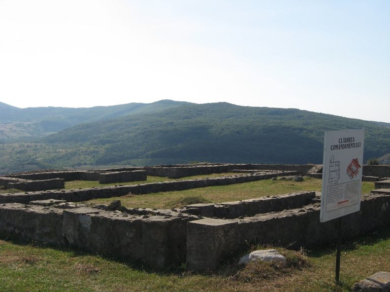
The headquarters stood close to the fort’s imagined centre, although it was 7–8 m east of the axes of the approach and rear roads. It may have retained this position through all three building phases. Measuring 32.5 by 29 m, it covered 942.5 m², about 3.3% of the fort, and had walls 0.90–1.00 m thick. A central courtyard measured 13 by 21 m, or 273 m², about 30% of the building’s area. Rooms about 3.5 m wide flanked the courtyard and may have been separated from it by column supports. An adjoining hall measured about 30 by 9 m. A possible 3.5 m-diameter platform stood on the east side; a corresponding feature on the west has been inferred by comparison with other forts. Modern stone removal destroyed four or five rooms at the rear. The standards shrine stood 2–3 m west of the building’s central axis.
Commander’s residence
The commander’s residence stood 4 m east of the headquarters. It measured 28.5 by 20 m, covered 570 m², and was initially divided into four long rooms. Two rooms had underfloor heating, with hot air circulating beneath the floors and through wall spaces, and curved ends on their southern sides. Probably in the early third century, an eastern annex extended across the perimeter road along the fort’s east side. An inscription dedicated to nymphs associated with the empress led Nicolae Gudea to suggest that the residence included a small bath suite. Another interpretation is that it held a water shrine or a simple fountain.
Granary west of the headquarters
The first of two buildings identified as granaries stood 4 m west of the headquarters and measured 10 by 28.5 m. It had two sections and supporting pillars that helped distribute the weight of stored grain.
Second storage or supply building
A second building stood a further 4 m west, near the left-hand principal gate. Measuring 20.5 by 28.5 m, it has been described as a double granary, with a courtyard between its storage chambers. Its identification as a granary is uncertain; it may instead have served another supply-related function.
Barracks and stables
The proposed layout includes 18 barracks and stables. Those reconstructed in the left half of the fort were 40–50 m long, while those in the right half were 50–60 m long, consistent with the asymmetrical plan. Their recorded widths and internal arrangements vary.
Civilian settlement and frontier installations
Associated settlement
The civilian settlement extended east and south of the fort, linking the military installation with the wider community that served it.
Fort bath
The bath lay less than 100 m north of the front gate. Its rectangular complex measured 24 by 18.5 m and covered 444 m². Rooms were arranged in a circuit following successive stages of bathing. The changing room, cold bath, and hot bath have been identified; the functions of six other rooms remain uncertain.
Frontier outposts
The Limes Porolissensis ran about 3 km north of the fort and included watchtowers and small forts. Watchtowers and smaller fortified posts also formed part of the network associated with Resculum.