Shinbaru-Nuyama Kofun Group: A Fifth- and Sixth-Century Burial-Mound Complex in Japan
Site at a Glance
- Popularity
- Medium
- Country
- Japan
- Primary era
- Medieval
- Eras represented
- Classical, Medieval
- Civilizations
- Kamakura shogunate, Yamato
- Site type
- Burial
- Remains
- Necropolis
On this page17 sections
History
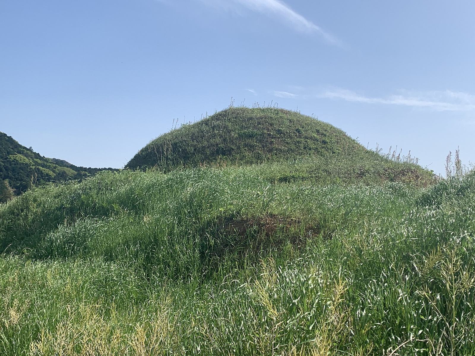
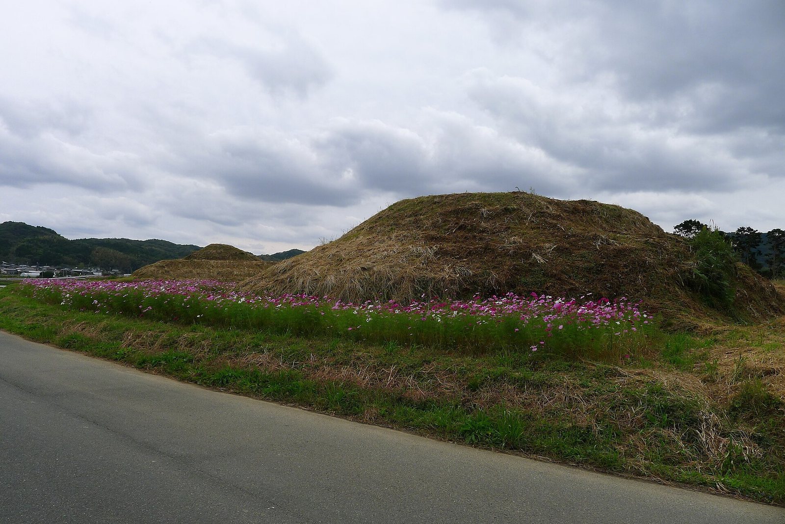
The Shinbaru-Nuyama Kofun Group is a group of Japanese burial mounds, or kofun, in Fukutsu, Fukuoka Prefecture, Japan. Built during the fifth and sixth centuries, the tombs are thought to have held members of the ancient Munakata clan and their associates.
Munakata and Okinoshima
The Munakata clan, an ancient lineage of the region, is associated with religious rites on Okinoshima, a sacred island in the Genkai Sea. The clan is also linked to the development of worship of the island’s deity into devotion to the Munakata Three Goddesses, a group of Shinto deities.
Shoreline and Land Use
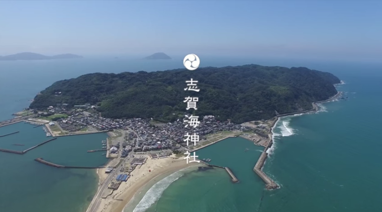
An inlet once extended along the western side of the hill. It gradually receded and was reclaimed during the Edo period, which lasted from the late sixteenth to the mid-nineteenth century, for salt production. From the Meiji period, which began in the nineteenth century, the reclaimed ground was used for rice cultivation.
Heritage Recognition and Conservation
On July 9, 2017, the group became one of eight components of the World Cultural Heritage property “Sacred Island of Okinoshima and Associated Sites in the Munakata Region.” It was the first kofun group in Japan to receive World Heritage inscription. Its sea-facing cultural landscape was central to the decision, connecting the tombs with the sea and expressing the maritime worship associated with Munakata belief.
Measures to protect the landscape included a protected-view zone intended to preserve surrounding farmland and views toward Oshima. Laws and local ordinances governing outdoor advertising also allowed incongruous buildings and signs to be removed. The surviving tombs are included in the Tsuyazaki Kofun Group, designated a National Historic Site.
Remains
Layout and Construction
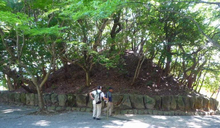
The group occupies an east–west hill about 800 m long, now divided by National Route 495, which opened on July 10, 1982. Of the 41 surviving tombs, five are keyhole-shaped, with a circular rear section and a projecting front; one is square, and 35 are circular. Two keyhole-shaped mounds are partly damaged. Basalt used in the stone chambers is thought to have been brought by boat from Ainoshima in the Genkai Sea.
The recorded group comprised 59 tombs, of which 18 were lost to land development and road construction. Four irrigation ponds are scattered around the site. Created from the early modern period onward, they are unrelated to the tombs.
Keyhole-Shaped Mounds
Tomb 1
Tomb 1 dates to the mid-fifth century and originally measured 50 m long, making it the group’s fourth-largest mound. Its circular rear section was 29 m in diameter and 5 m high; the front section measured 24 m long, 31 m wide, and 4 m high. Road construction removed the front section. Finds recovered during the excavation associated with the work are now held at Fukutsu City Cultural Hall, Camellia Hall.
Tombs 12 and 24
Tomb 12 is a 43 m-long keyhole-shaped mound dating to the early sixth century. Tomb 24, one of the group’s oldest, measures 53 m long and dates to the first half of the sixth century.
Tomb 22
At 80 m long, Tomb 22 is the largest mound in the group and among its oldest, dating to the first half of the fifth century. Its square front section has been lost. A moat and outer bank once surrounded the mound, and a small stone shrine associated with a later local shrine was placed on it.
Tomb 30
Tomb 30 is a 54 m-long mound dating to the first half of the sixth century. Heavy rain damaged it in 2003, when sandbags were used in repairs. In July 2018, rain caused the north side of its circular rear section to collapse across an area about 5 m high and 15 m wide. Blue sheeting covered the affected area while repairs were under way.
Square and Circular Mounds
Tomb 7
Tomb 7 projects into the former inlet and is the only square mound in the Munakata region. Dating to the fifth century, it measures 24 m on each side. An iron axe found there resembles axes from ritual remains on Okinoshima, and the mound may also have served as a ritual site.
Small Circular Mounds
Tombs 8–11 and 13–19 are small circular mounds dating to the late sixth century. Heavy rain in 2018 caused a slight collapse on the northwest side of Tomb 13. Tomb 23 is a small circular mound from the sixth century. Tombs 26–29 lie on the hillside slopes and date to the late sixth century, as do Tombs 31–43 and 46–48.
Tombs 20 and 25
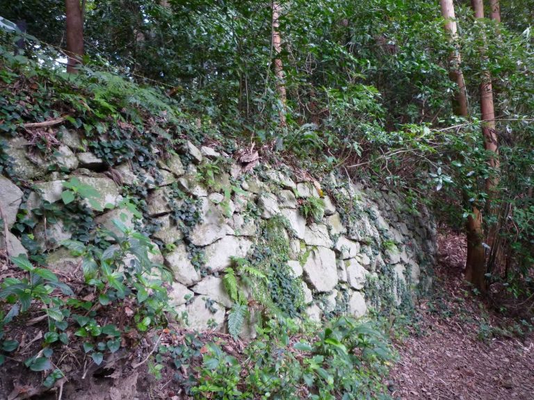
Tombs 20 and 25 are medium-sized circular mounds from the fifth century, faced with stones.
Tomb 21
Tomb 21 is a circular mound 17 m in diameter, dating to the first half of the fifth century. A stone-slab monument from the Kamakura period stands on the mound.
Removed Mounds
Tombs 2–6 were removed during grading for road construction and facilities on private land. Tombs 44–45 were also removed by grading, while Tombs 49–59 were levelled during farmland development.