Castra of Lützelbach: A Roman Auxiliary Fort on the Odenwald Frontier
Site at a Glance
- Popularity
- Low
- Country
- Germany
- Primary era
- Classical
- Eras represented
- Classical
- Civilizations
- Roman
- Site type
- Military
- Remains
- Fort
On this page16 sections
History
Garrison and frontier
The Castra of Lützelbach is a Roman fort in Germany, built during Emperor Trajan’s reign (AD 98–117) on the older Odenwald line of the Neckar-Odenwald Limes, Rome’s frontier system. It housed a numerus, a small unit of auxiliary troops, whose identity is unknown. The garrison is estimated to have numbered about 160 soldiers, and the fort was the smallest numerus fort on the Odenwald line. Seckmauern lay to the northeast, while the small fort at Windlücke stood to the south. Lützelbach was probably abandoned when the frontier advanced in AD 159.
Dating and possible building phases
The fort’s precise construction date is uncertain. An older estimate placed it at about AD 100, with a margin of five years, drawing on excavations at Hesselbach. In 1998, archaeologist Klaus Kortüm presented a statistical reassessment of coin finds from forts across the Upper German-Raetian Limes. Later proposals based on this analysis placed the start of construction at Hesselbach in AD 107–110 and on the Odenwald line in AD 110–115. These revised dates came from coin evidence rather than new excavations at Lützelbach.
The fort may also have been built in more than one phase. By comparison with Würzberg and Hesselbach, it is possible that an initial earthwork was replaced by a stone fort around AD 145.
Discovery and archaeological investigation
In 1813, Johann Friedrich Knapp found and described the fort in very good condition while surveying the Odenwald frontier for Count Franz I of Erbach-Erbach. After ownership changed in the second half of the nineteenth century, the ruins were heavily quarried for stone. Friedrich Kofler reported severe damage by the mid-1870s. Archaeologists protested in 1887, 1889, and 1891, but quarrying continued.
Between 1888 and 1897, Fritz Kofler, Wilhelm Soldan, and Eduard Anthes repeatedly investigated a tower site south of the fort. In 1895, the German Reich-Limes Commission, which documented Roman frontier remains, carried out extensive excavation and recording at the fort.
Remains
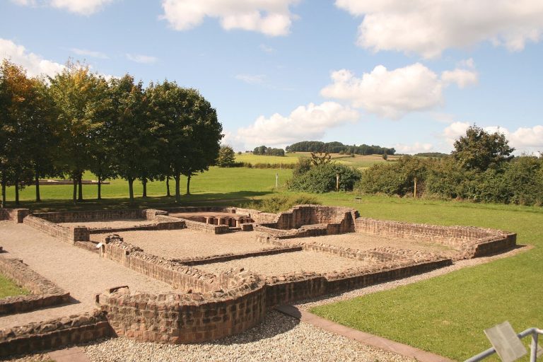
The fort stands on a small plateau about 327 metres above sea level, on a north-to-south ridge between the Lützelbach valley basin to the west and the Haingrund and Seckmauern valleys to the east. The ground drops steeply to the northwest. The roughly rectangular fort enclosed about 5,250 square metres, or 0.53 hectares, and had rounded corners. Its red-sandstone perimeter combined dry-laid stone and mortar masonry, with carefully cut stone facings and a rough-stone core.
Fort and defenses
Walls and ditch
The perimeter wall was about 0.95 metres thick along the front and northeast side, 1.05 metres on the southwest, and 1.25 metres at the northwest rear. Its greater thickness on the northwest may have contributed to the suggestion that the plateau was artificially raised. Finds of battlement capstones indicate that the wall had raised defensive sections. A stepped sandstone bank on the inner side supported a walkway along the wall. Outside it, a V-shaped ditch was separated from the wall by a narrow, level strip of ground. The ditch was interrupted at the gates and, at one measured point, was 8 metres wide and 1.35 metres deep.
Gates
Three gates pierced the fort’s perimeter. The main entrance faced southeast toward the Limes, which passed about 25 metres away. Each gate had two rectangular towers that projected beyond the line of the wall. The main passage was 2.50 metres wide; the two side entrances measured between 3.20 and 3.25 metres across.
Bathhouse and nearby settlement
Bathhouse
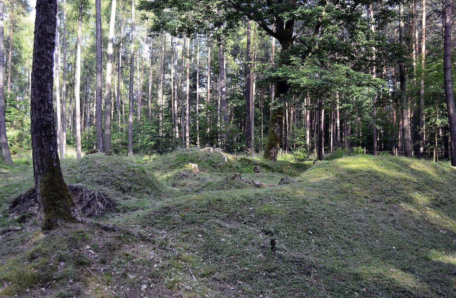
A bathhouse stood about 40 metres north of the fort. Its position is still marked by a rise in the ground, up to 1.5 metres high, and geophysical investigation has revealed an almost complete underground plan. The rooms formed a bathing sequence: an entrance in the southeast led through a changing room to a cold bath. A sweat room and a room for hot-water containers stood alongside it. The route continued through a heated warm room to a heated hot room, which ended in a tub of hot water. Two furnaces outside the building provided heat, one beside the sweat room and the other behind the hot room.
Civilian buildings
Structures detected near the bathhouse may have belonged to a civilian settlement associated with the fort. About 100 metres south of the fort stood two Roman houses, probably built after the frontier advanced and the garrison left. They may have been connected with farming in the surrounding countryside.
Towers and frontier line
From the fort, the Limes ran south along a wooded ridge for about two kilometres to the small fort at Windlücke, rising only about ten metres along this stretch. Two tower sites lay on the route. At one of them, remains represent two timber towers and a stone tower.
Timber towers
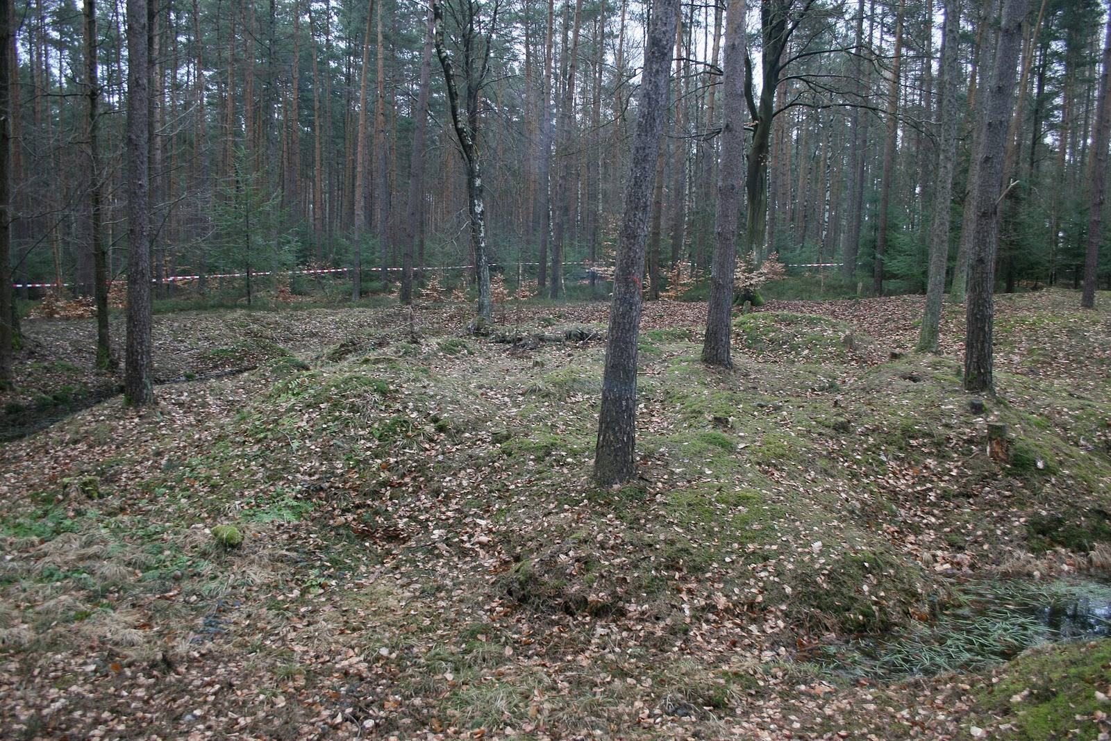
The older timber tower, Tower A, stood on a rectangular foundation of stones laid without mortar, measuring about 5.60 by 5.80 metres. A surrounding ditch reached 24–25 metres across at its outer edges and 16.8–17.5 metres across at the bottom; it was about 2 metres deep. Tower B had a similar stone foundation, about 5.10 by 5.30 metres. Its corner posts were 30 centimetres thick, set 1.30 metres into the ground, and braced with flat stone wedges. Its surrounding ditch measured 25.5 metres across at the outer edges and 17–18 metres across at the bottom.
Stone tower and enclosure
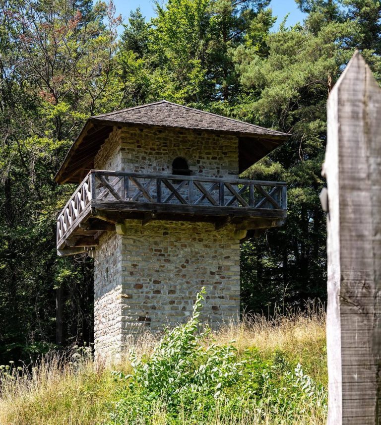
The rectangular stone Tower C measured 5.60 by 5.20 metres. An irregular enclosure, probably made as a fence of woven branches, extended about 62 by 55 metres around the area. Three paved entrances passed through it, on the north, southeast, and west sides.
Palisade and patrol road
The frontier palisade ran 32–33 metres east of Timber Tower A and 34 metres east of Timber Tower B. A patrol road lay roughly midway between the palisade and the eastern edges of the towers’ ditches; its underlying roadbed was 5.50 metres wide. Laser scanning has also identified another ditch-like ring that may indicate an additional timber tower. A reconstructed section of Limes palisade is associated with the fort.
Finds
Finds from the fort include two sculptures and a capstone from the battlements, sold to the Hessian State Museum in Wiesbaden in 1875. A semicircular panel from the main gate bears a relief of Victoria, the Roman goddess of victory. Other objects include fragments of a soldier’s figure, a waterspout shaped like a lion’s head, and a relief showing a boar carrying a person. Most of the finds are held in the Collection of Nassau Antiquities at the Wiesbaden City Museum.