Castle of Castelo Melhor: Medieval Frontier Fortress in Portugal


Site at a Glance
- Rating
- 4.2
- Popularity
- Low
- Country
- Portugal
- Primary era
- Medieval
- External website
- Open
- Eras represented
- Medieval, Early Modern
- Civilizations
- Kingdom of León, Portuguese
- Site type
- Military
- Remains
- Castle
On this page11 sections
History
The Castle of Castelo Melhor is a medieval fortress in Portugal, associated with Leonese fortification work in the early 13th century. The hill had earlier been occupied by a castro, a fortified settlement associated with pre-Roman communities, founded by the Turduli, an ancient people of the western Iberian Peninsula. The castle later formed part of the defences of the Riba-Côa, a frontier territory contested by León, Portugal, and Castile.
Leonese Frontier
By the 12th century, Leonese forces occupied the area. During the intensive fortification of the Riba-Côa frontier, King Afonso IX of León granted Castelo Melhor a charter in 1209. This royal charter, known as a foral, established the settlement’s privileges, obligations, and administrative position. Afonso IX also ordered the construction or reconstruction of the castle, helping consolidate the local population and strengthen the military frontier.
The territory remained disputed between the Portuguese and Castilian monarchies. The Treaty of Alcañices, concluded in 1297, transferred Castelo Melhor to Portugal. On 12 June 1298, King Denis confirmed the privileges granted under Leonese rule, ordered additional work on the castle, and gave the settlement a further administrative role while it retained secondary military importance.
Portuguese Crown and Medieval Repairs
King Denis concentrated his defensive reforms on the entrance system. The gate was flanked by two rectangular towers, while another tower facing the settlement protected the only accessible flank. These works preserved the existing perimeter and added a tower without radically altering the settlement’s population or administration. Initial repairs followed during the reign of King Ferdinand in the last quarter of the 14th century.
During the dynastic crisis of 1383–1385, a conflict over the Portuguese succession, the castle came under Castilian control. The Treaty of Monção, concluded on 29 November 1389, returned Castelo Melhor to the Portuguese Crown. Further repairs took place under King John I and Afonso V during the first quarter of the 15th century.
In 1422, the Rol dos Besteiros, a royal register associated with military obligations, gave the settlement approximately 1,704 inhabitants. Afonso V later granted Castelo Melhor town status and joined it with Almendra in the municipality of Almendra e Castelo Melhor. A royal inquiry in 1496, however, listed only 204 inhabitants in the territory.
Noble Administration and Later Decline
During the 15th century, Castelo Melhor and its domains passed to the Cabral family through João Fernandes Cabral’s marriage to Joana Coutinho. The lands were granted for 4,000 crowns. The Cabrals held the castle governorship of Belmonte and made that fortress their principal seat, leaving little at Castelo Melhor.
Castelo Melhor was listed as part of Almendra in 1527. In 1584, it became the seat of a county under Rui Mendes de Vasconcelos. During the Restoration Wars, a conflict that re-established Portugal’s independence from the Spanish Habsburg monarchy, an artillery battery was built on the eastern side of the hilltop in 1640.
By the 18th century, Castelo Melhor was subordinate to Almendra, while its hereditary lords were the Counts of Castelo Melhor. In 1758, the settlement was described as the fief of José de Caminha Vasconcelos e Sousa, Faro, Távora e Veiga, Count of Castelo Melhor, with 89 residents. The castle was still regarded as the county seat, but it had no permanent garrison and was considered defensible when necessary.
In 1766, the town was raised to a marquisate for the fourth count, José de Vasconcelos e Sousa Caminha da Câmara Faro e Veiga. The last titular holder was the seventh Marquess, Elena Maria de Vasconcelos e Sousa Ximenes. The municipality of Almendra e Castelo Melhor was abolished in 1855 and incorporated into the municipality of Vila Nova de Foz Côa.
The castle was classified as a Property of Public Interest on 26 February 1982. This status recognized the importance of the site while also acknowledging the need for broader archaeological research.
Remains
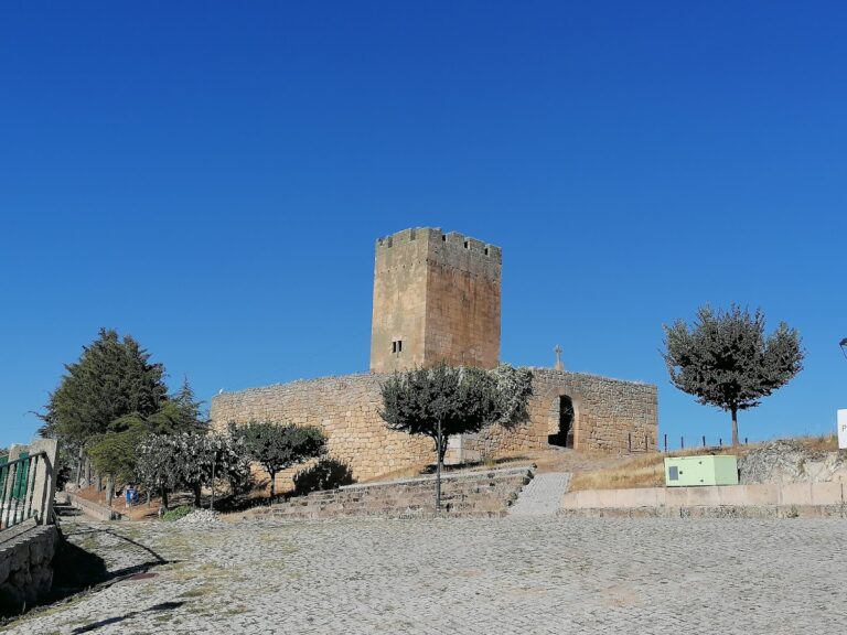
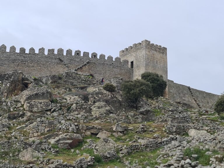
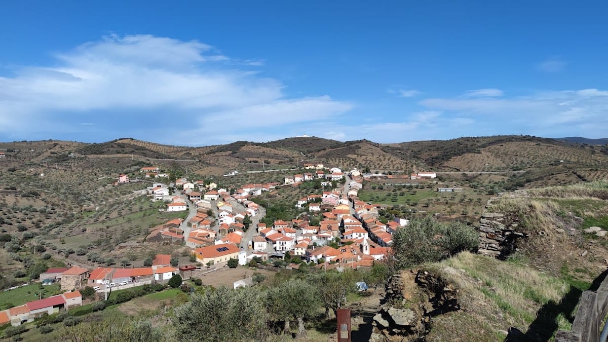
The castle occupies a hilltop about 450 metres above sea level in a rural setting, overlooking Castelo Melhor on the right bank of the Côa River. The Douro River lies about 2 kilometres to the north and the Côa about 3 kilometres to the west. Trees now surround the site. Its irregular enclosure is also described as generally circular, and the courtyard follows a rock-covered surface that incorporates large natural boulders.
Enclosure and Defensive Works
Perimeter Walls and Entrance
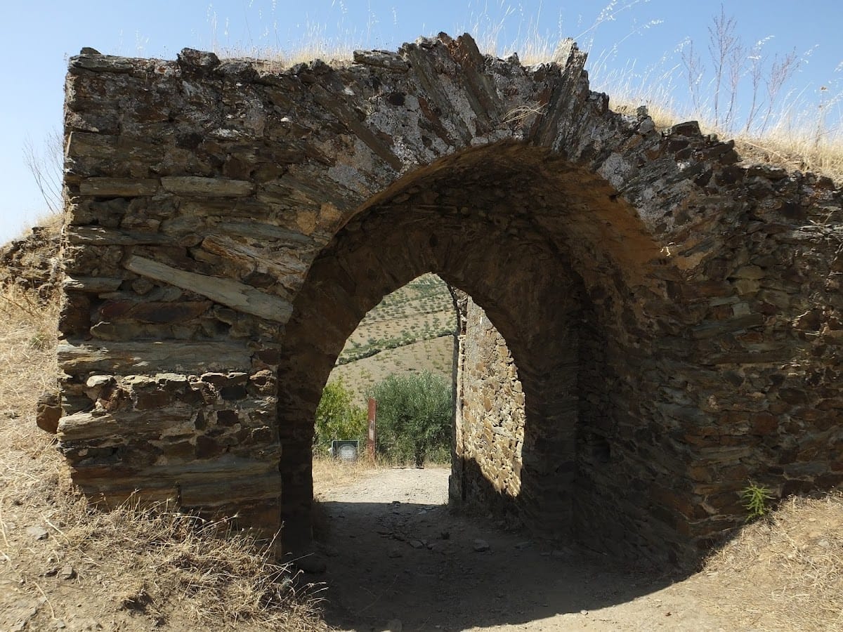
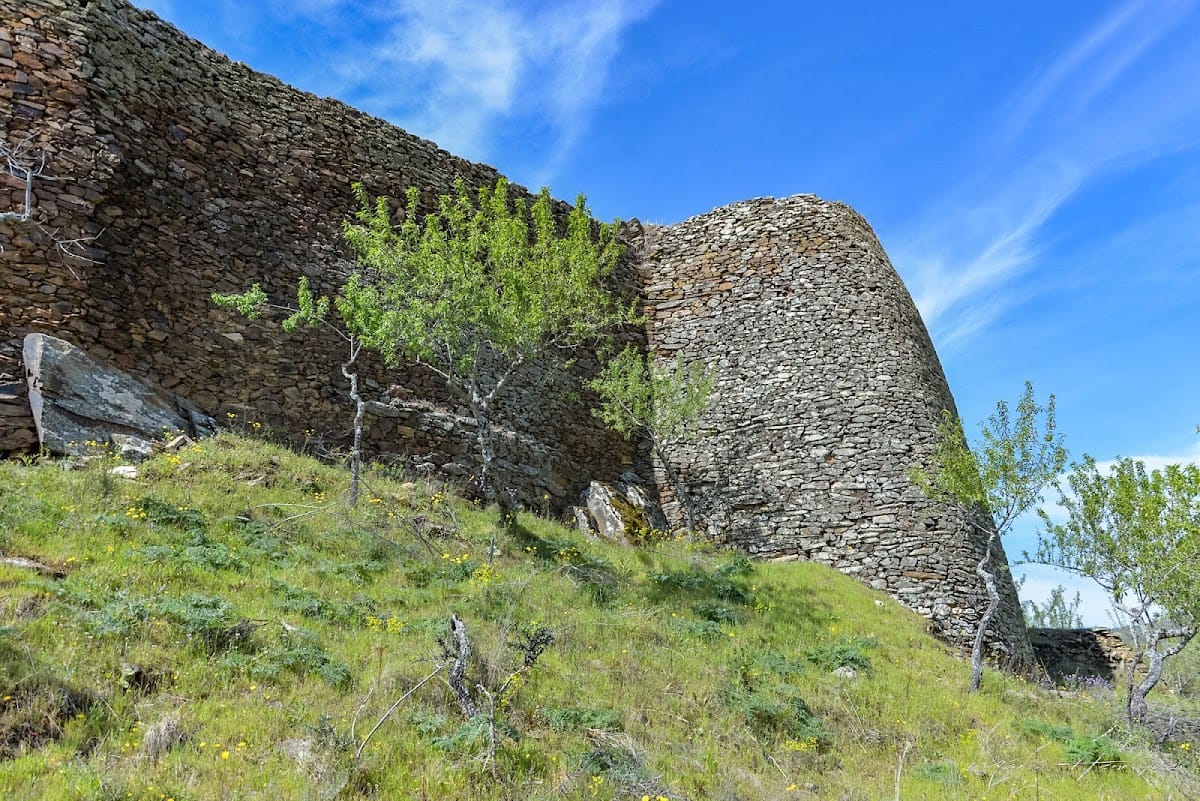
The damaged perimeter walls are built mainly from small schist stones and survive to approximately 3–6 metres in height. They were constructed with granite and schist, although the surviving wall fabric is specifically schist masonry. The walls retain no merlons, while an access stairway to the battlements survives. An arched entrance opens through the northwest side of the enclosure. Two rectangular towers historically flanked this gate, forming the principal entrance defence.
Towers and Barbican
A circular tower stands behind the northern wall. Remains of a reinforcing wall between the gate and this tower, together with a similar structure along the southern wall, indicate a former barbican, an outer defensive work protecting an entrance. Three projecting defensive elements survive behind the eastern and northwestern sections of the perimeter, strengthening those parts of the enclosure.
Courtyard Features
Cistern
A circular, uncovered cistern occupies the northeastern part of the courtyard. This structure collected and stored water within the fortified enclosure.
Interior Buildings
Several remains of rectangular buildings survive inside the courtyard. Their surviving walls form part of the interior archaeological remains alongside the natural rock surface and the defensive structures.