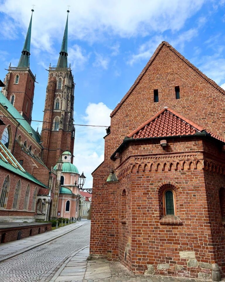
Castle in Ostrów Tumski, Wrocław: A Piast Ducal Residence and Stronghold
Site at a Glance
- Rating
- 4.7
- Popularity
- Very Low
- Country
- Poland
- Primary era
- Medieval
- External website
- Open
- Eras represented
- Medieval
- Civilizations
- Unclassified
- Site type
- Military
- Remains
- Castle
On this page14 sections
History
Castle in Ostrów Tumski, Wrocław, Poland, was a fortified residence built and transformed by the Piast rulers of Silesia. Located on the western edge of Ostrów Tumski, it began as a tenth-century wooden-and-earth stronghold and later became a permanent ducal residence with Romanesque and Gothic buildings. The castle occupied ground between the Oder, Świętokrzyska Street, and the properties now numbered 10 and 12 on St. Martin Street.
The early stronghold
A circular stronghold with a wooden-and-earth rampart and reinforced palisade was established on the western tip of Ostrów Tumski in the tenth century. It was Wrocław’s second stronghold and probably served as the seat of the castellans, officials who governed a fortified centre and its surrounding territory. Dendrochronological research places the construction of a new Piast stronghold there around 985, during the reign of Mieszko I, the first historical ruler of the Piast dynasty and a figure traditionally associated with the formation of the Polish state.
The settlement was enlarged twice around the turn of the tenth and eleventh centuries and again during the eleventh century. These expansions took land from the outer settlement and increased the area controlled by the stronghold. Its residential buildings were wooden, while the defensive circuit remained based on earth, timber, and a palisade.
Stone foundations and the ducal residence
Before 1149, the Silesian magnate and palatine Piotr Włostowic founded a stone chapel dedicated to St. Martin and a Benedictine abbey within the stronghold. Benedictines belonged to an established Western Christian monastic order governed by the Rule of Saint Benedict. The complex is recorded in 1149 as Abbatia St. Martini, although the precise location and duration of both the chapel and abbey remain uncertain.
In 1166, Duke Bolesław Wysoki took control of the Wrocław stronghold and began turning it from an intermittently used refuge into a permanent residence. He commissioned a stone palatium, the ruler’s principal residential and representational building, and a new eighteen-sided court chapel. The palatium was a Romanesque donjon, a strongly built central tower combining residence and defense, measuring approximately 15 by 17 metres. By 1239 it contained at least one heated residential chamber.
Bolesław’s son and successor, Henryk I, concentrated his resources on his residence at Legnica and on the monastery at Henryków. He assigned Wrocław Castle to his co-ruling son, Henryk II. During the 1230s, Henryk II began a brick chapel, probably intended to house relics of the True Cross brought to Wrocław.
Expansion under the Piast dukes
The Mongol invasion of 1241 caused no major damage to the castle, although Henryk II was killed near Legnica. His successor, Henryk III, surrounded the castle with defensive walls. A written reference to this work dates from 1257, indicating that the earlier earth-and-timber stronghold had become part of a more substantial masonry complex.
After a temporary pause in construction, Henryk IV Probus resumed the expansion on a large scale from 1270. The mature Gothic works enlarged the existing palatium and extended it northward and westward. A new northwestern wing probably served economic or service functions, with a kitchen and baths likely nearby. A new eastern building, probably an abbey, was later assigned to the Premonstratensians, a Catholic order founded in the twelfth century and also known as the Norbertines. Together, these works formed a northern building range approximately 120 metres long.
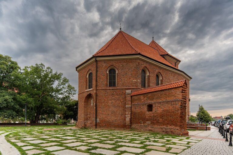
The earlier eighteen-sided chapel was replaced by a Gothic octagonal chapel. In the 1280s, Henryk IV also began another chapel and monastic complex dedicated to the Virgin Mary. He intended it as a family mausoleum, but construction was interrupted in 1287 when resources were redirected to the collegiate church of the Holy Cross. The buildings were completed later in a simplified form. The dedication of St. Martin was eventually transferred to this complex, which became the later Church of St. Martin.
Decline of the castle and later changes
Henryk IV’s successors no longer lived at the castle. Between 1329 and 1335, the site was lent to the chapter of the collegiate church of the Holy Cross for residential use. The former castle grounds were subsequently divided by fences into seven plots around the small square in front of St. Martin’s Church.
In 1382, Wenceslaus IV, king of Bohemia and Holy Roman Emperor, considered enlarging the castle but abandoned the plan. The chapter acquired the property in 1439 and administered it until secularization in 1810. The eastern castle gate tower later served as a prison under the chapter.
St. Martin Street was cut through the former castle grounds in 1885 as part of the geometric regulation of the area around what is now Bema Square. The surrounding properties were altered and received their present numbering. Tall tenement buildings were erected west of the castle and along its western and southern sides, changing the historic arrangement of the site.
War damage and archaeological investigation
The buildings on the castle grounds suffered severe damage during the siege of Wrocław in 1945. The southern residential buildings and some buildings north of St. Martin Street were destroyed. St. Martin’s Church was left with burned-out walls after heavy damage.
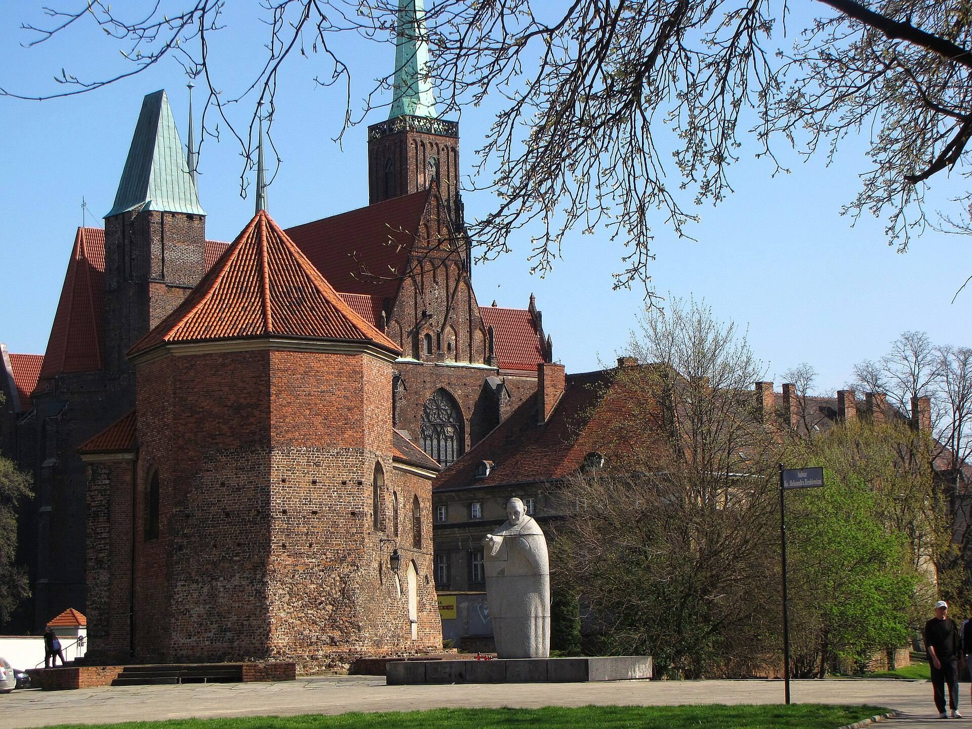
The church was rebuilt in altered form between 1957 and 1960 by Tadeusz Kozaczewski. The ruins of the tenements were removed during the 1960s, allowing archaeological investigations by Rudolf Jamka, Wojciech Kočka, Tadeusz Kozaczewski, Olgierd Czerner, and Edmund Małachowicz. Part of the southern grounds was developed in 1968 for a monument to Pope John XXIII. The northern part remains incompletely investigated, enclosed by a wall, and used by a hospital and monastery. Archaeological remains of the principal castle building can be viewed in the surviving structures.
Remains
The former castle occupied land on both sides of present-day St. Martin Street. Its remains consist of the altered Church of St. Martin, parts of the main Gothic residence incorporated into later buildings, underground walls, chapel remains beneath the roadway and pavement, and structures preserved in the adjoining monastery garden. The surviving fabric shows the change from a circular timber stronghold to a masonry Piast residence enclosed by brick defenses.
Residential and monastic buildings
The palatium
The late-twelfth-century palatium was a Romanesque stone donjon measuring approximately 15 by 17 metres. It combined residential and defensive roles and included at least one heated chamber by 1239. Under Henryk IV, the building was enlarged and extended northward and westward as part of a larger Gothic residential range. The main Gothic walls originally rose two or three storeys and now survive to the level of the first storey and partly the second. They form the basement and ground floor of the present building at 12 St. Martin Street.
Additional castle remains survive within Notre Dame House. Its basement contains an educational route concerning Wrocław’s earliest Piast foundations. The surviving walls at number 12 and the underground remains preserve parts of the main residential complex within later buildings.
The first court chapel
The first court chapel was a brick, eighteen-sided building constructed in the last quarter of the twelfth century beside the palatium and against the northern part of the stronghold rampart. It is among the earliest examples of brick architecture in Silesia and has sometimes been associated with a Cistercian building workshop from Lubiąż.
The chapel had an internal diameter of approximately 19.5 metres, while its external walls were about 2 metres thick. The walls rested on separate foundations connected by arches and were articulated with shallow vertical strips at the foundation points. A central pillar stood on a foundation about 2 metres in diameter, although it was slightly displaced from the geometric centre. The broad interior was probably covered by a timber ceiling rather than a vault. A small room, possibly a sacristy, adjoined the building on the northeast. The chapel was demolished in the fourth quarter of the thirteenth century for construction of the Gothic chapel. Its dedication is uncertain, with St. Martin one possible identification.
The late-Romanesque chapel
A second brick chapel, begun in the western part of the castle during the 1230s, had a cruciform plan and an interior supported by four piers. Its nave spanned approximately 11 metres and had alternating shorter and longer sides. Three rectangular apses adjoined the shorter sides, while a square presbytery with a similar apse extended toward the northeast. The wall bases indicate that the original design placed four piers before the apses and presbytery along the main and transverse axes. The chapel was probably completed around 1250 according to a revised plan, with the piers placed along the longer sides.
The chapel was dismantled no later than the fifteenth century, but its lower walls survive beneath St. Martin Street, its pavement, and the adjoining monastery garden. Excavations recovered granite architectural details, including fragments of a plinth and two wall-base elements, now displayed in the Museum of Architecture in Wrocław. One jamb fragment has been interpreted as part of a lantern. The chapel has also been associated with relics of the Cross and a related dedication.
The Gothic octagonal chapel
The second court chapel was built around 1270–1280 on the site of the first, with its centre shifted slightly northward. This two-storey building had an octagonal nave with an internal span of approximately 17.6 metres and a short, two-bay rectangular presbytery on its eastern side. Recessed niches for statues of saints decorated the presbytery and were architecturally comparable to those in the castle chapel of St. Thomas at Racibórz.
The western side of the chapel joined the palatium. Prominent buttresses reinforced its northern and southern elevations, and the building has been reconstructed with an open gallery projecting over the buttresses and tall gables around the octagonal structure. Its lower storey lay approximately 1.2 metres below ground and served secular and economic purposes. The octagonal space may have functioned as a multipurpose castle hall, with only the presbytery serving as a chapel open to the hall.
The chapel may have been the “central building” called Mittelbau in a document of 1382, since it stood in the middle of the northern building range. After the site passed to the collegiate chapter, it was partly demolished. Its northern walls were incorporated into the buildings at 12 St. Martin Street and the former number 14, which was destroyed during the Second World War and demolished in the 1960s. The surviving remains are visible in the basement of number 12.
St. Martin’s Church
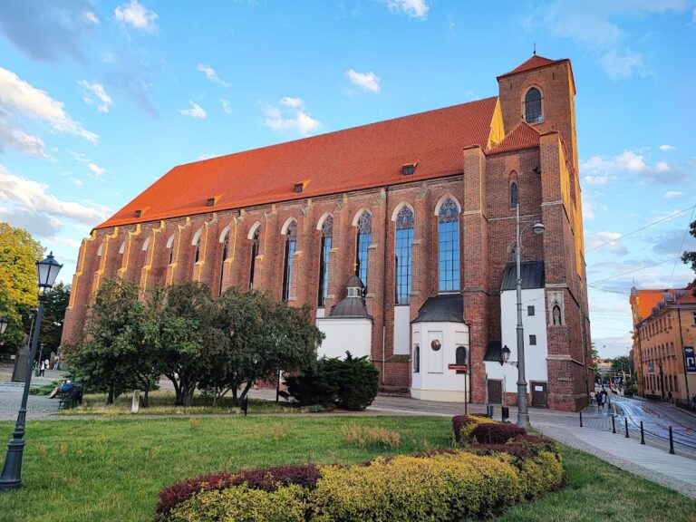
The brick chapel and monastic complex dedicated to the Virgin Mary was begun in the 1280s as a dynastic mausoleum. It was later completed in a highly simplified form, and its irregular plan obscures the original design. The transfer of the St. Martin dedication to this building produced the later St. Martin’s Church. The church was severely damaged in 1945 and rebuilt in changed form between 1957 and 1960.
Defensive circuit and gates
During the thirteenth and fourteenth centuries, the northern side of the castle grounds was bounded by the residential building and a chapel. The other sides were enclosed by a brick defensive wall reconstructed as approximately 6 to 7 metres high. The circuit had two gated entries with towers. An outer water gate stood on the west, while an eastern stronghold gate led toward the rest of Ostrów Tumski near the present eastern end of St. Martin Street.
The tower on the Ostrów side was approximately 16 metres high and survived until the beginning of the nineteenth century. The chapter of the collegiate church of the Holy Cross used it as a prison. Its foundations, measuring approximately 6.20 by 7.00 metres, remain below the roadway at the corner of Church Square.