Castillo de Tormón: A Medieval Fortress in Spain

Site at a Glance
- Rating
- 4.2
- Popularity
- Very Low
- Country
- Spain
- Primary era
- Medieval
- Eras represented
- Medieval
- Civilizations
- Almohad
- Site type
- Military
- Remains
- Castle
On this page8 sections
History
Castillo de Tormón is a twelfth-century Muslim fortress in Spain, built on a rocky summit above the Ebrón River. It formed part of a defensive line linking Albarracín with Alpuente through Jabaloyas, El Cuervo, Castielfabib, Ademuz, and Santa Cruz de Moya.
Muslim origins and Christian conquest
After the Christian conquest in the early thirteenth century, Tormón and its castle entered the extensive lordship of Gil Ruiz de Castillblanque. The lordship also included El Cuervo, Tramacastiel, Cascante del Río, and Valacloche. Gil Ruiz married Toda Ruiz de Azagra, who is believed to have been a niece of Pedro Ruiz de Azagra, the first lord of Albarracín.
Tormón was among the fortified settlements, towns, and farmsteads that Zayd Abu Zayd, the last Almohad governor of Valencia and lord of Segorbe, gave to Jaime I of Aragon. The Almohads were a Muslim ruling power that controlled large parts of the Iberian Peninsula during the twelfth and early thirteenth centuries. Jaime I was the Aragonese king associated with major territorial expansion during the Christian conquest.
Lay lordships in the thirteenth and fourteenth centuries
At the beginning of the second half of the thirteenth century, Tormón belonged to the estate of Teresa Gil de Vidaure, Jaime I’s third legitimate wife. A dispute over the castle led Jaime I in 1268 to forbid Francisco Lupo from harassing the vassals of his son Jaime de Jérica. In July 1275, Jaime I granted Castillo de Tormón, together with the castles of Altura, Castromontano, and Mora de Rubielos, to Jaime de Jérica, his son and a member of the Jérica branch of the Aragonese royal family.
At the end of the thirteenth century, Tormón and its castle remained in the hands of the lay nobility. A lay lordship was territory governed by a secular noble rather than by a church institution or military order. Unlike Villel and its dependent villages, which were under the Knights Templar, Tormón was not controlled by a military order.
During the fourteenth century, the settlement remained attached to a lay lordship and outside the Council and Community of Villages of Albarracín and Teruel. The Ruiz de Castellblanque family held it during the first half of the century and at least until the 1370s. It later passed to the Heredia family of Mora de Rubielos. During the Heredia lordship, a confraternity was established in Tormón’s church. This organized religious association is described as the earliest confraternity known in the Diocese of Albarracín.
Strategic memory and heritage protection
The castle’s strategic importance was still reflected in 1867, when Tormón appeared on three routes in Spain’s military descriptive itinerary. These routes connected Valencia with Albarracín through Chelva and Ademuz, Cuenca with Teruel through Salvacañete and Veguillas de la Sierra, and Guadalajara with Teruel through Cuenca.
A constitutional municipal seal from 1876 shows the rocky outcrop, a tower, and the bridge over the Ebrón. Although the drawing is realistic, a castle structure resembling the one depicted is considered unlikely to have survived at that date. Castillo de Tormón is now registered as an Asset of Cultural Interest in the Archaeological Zone category within the Aragonese Register of Assets of Cultural Interest. Its inclusion among the castles protected under the Aragonese Cultural Heritage Law was published on 22 May 2006, following a resolution dated 17 April 2006.
Remains
Rocky summit and settlement area
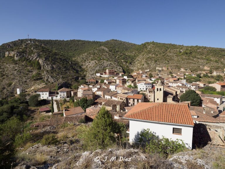
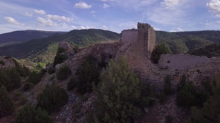
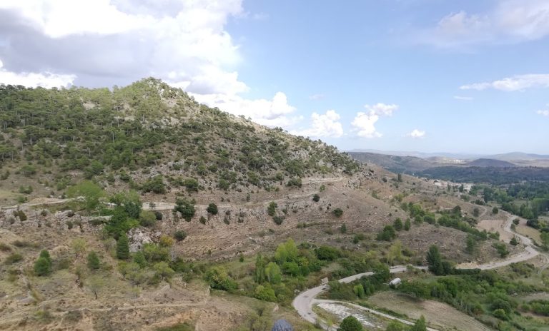
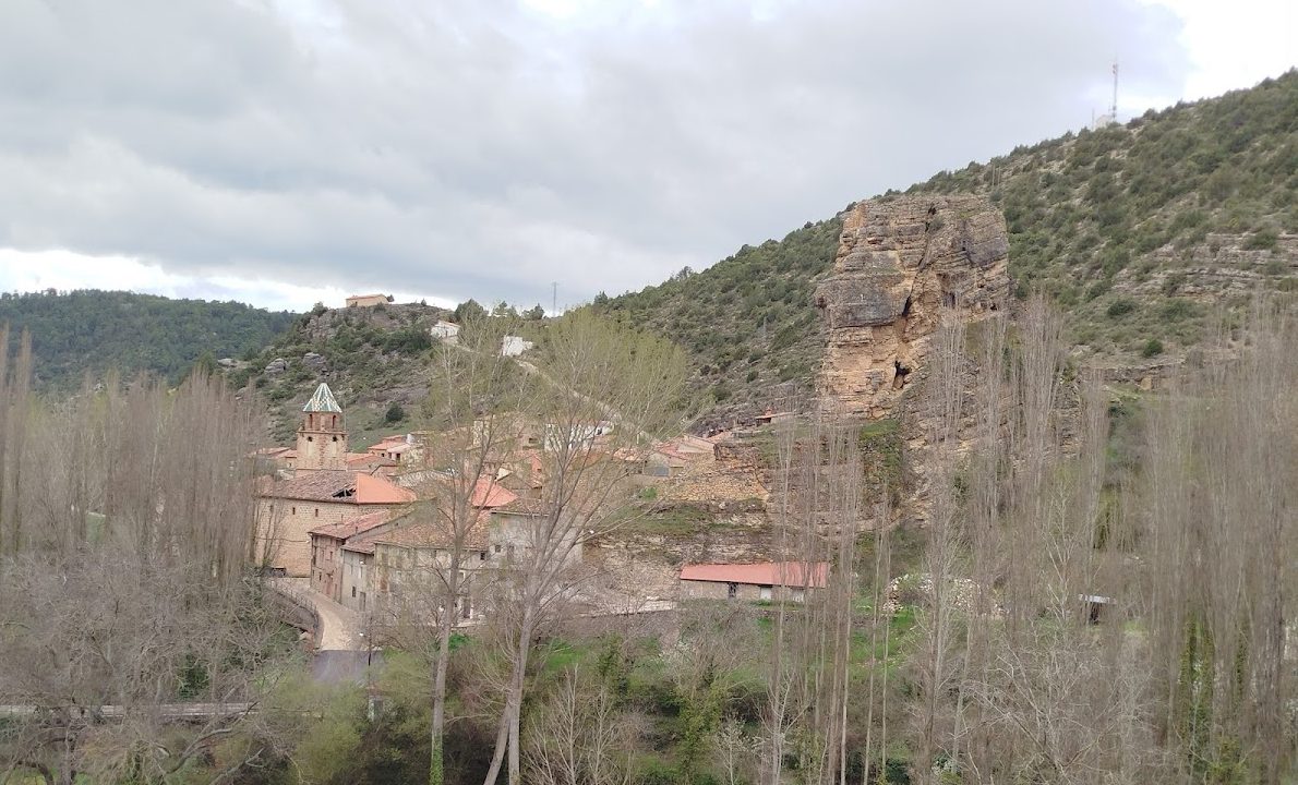
The ruins occupy the summit of an isolated rocky outcrop, or tormo, north of Tormón. The feature gives the settlement its name, and the former castle is also recalled by the local street name Calle del Castillo. The summit overlooks the Ebrón crossing, mountain routes, nearby orchards, and the settlement itself. It reaches approximately 1,085 to 1,090 metres above sea level, standing about 45 to 50 metres above the riverbed.
The outcrop forms the central-northern part of a south-oriented rocky spur with a lower stepped area and several subsidiary steps. The surface available for occupation, apart from the rock itself, measures approximately 900 square metres. The earliest settlement is considered likely to have occupied this upper surface, while the rest of the settlement extended along the southeastern slope, in the area now occupied by Calle del Castillo and Calle del Río.
Geology and surviving construction
The rocky formation consists of Middle Jurassic Dogger deposits. Platy limestones form the base, calcareous sandstones occupy the middle and upper sections, and additional beds of platy limestone appear at the summit. The strata dip toward the southeast. The former constructions on the outcrop are severely deteriorated, with their remains reduced by the reuse of building materials and by natural erosion.
Archaeological materials
Fill areas and surface or washed-down materials around the outcrop include handmade pottery from an undetermined period between the Bronze and Iron Ages, wheel-thrown Islamic pottery, and late-medieval Christian pottery. Together, these finds reflect successive periods of activity on and around the rocky summit. The 1876 municipal seal also represents the outcrop with a tower and the bridge over the Ebrón, although the survival of a comparable tower at that time is considered improbable.
Nearby sites