Castle of Llordà (Castell de Llordà): A Medieval Fortress and Residence


Site at a Glance
- Rating
- 4.3
- Popularity
- Low
- Country
- Spain
- Primary era
- Medieval
- External website
- Open
- Eras represented
- Medieval
- Civilizations
- Unclassified
- Site type
- Military
- Remains
- Castle
On this page9 sections
History
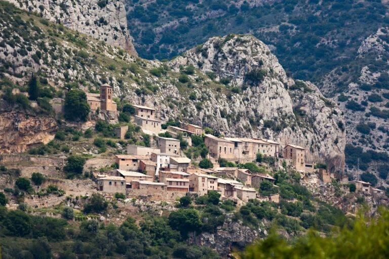
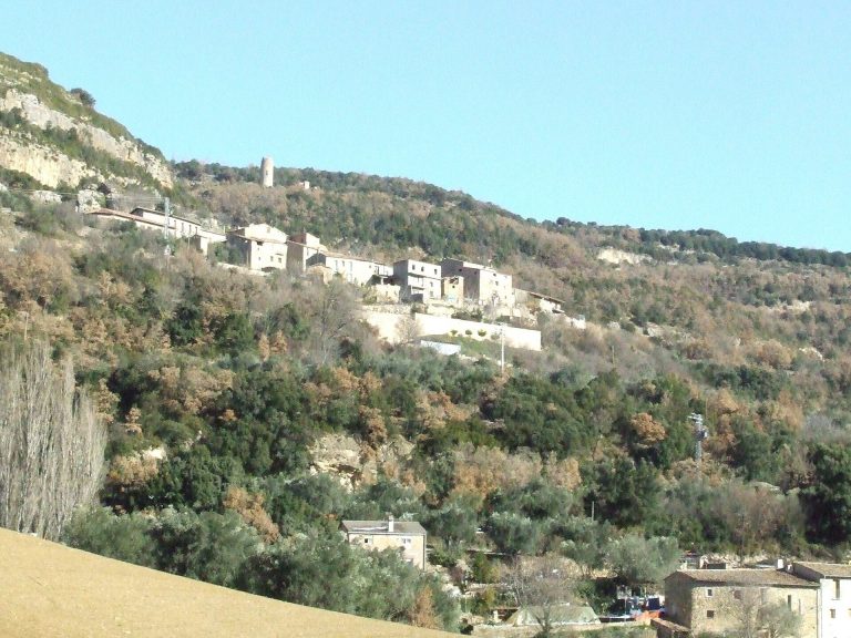
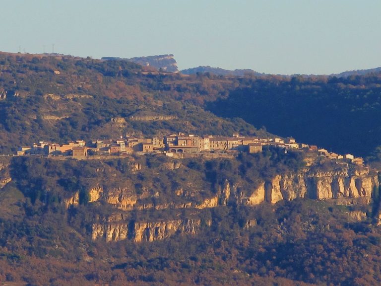
Castle of Llordà (Castell de Llordà) is an early-medieval fortress and seigneurial residence in Spain, near the village of Llordà in the municipality of Isona and Conca Dellà. Its construction extended from the ninth to the twelfth century, while its principal masonry dates from the late eleventh century. The castle stands on the former territory of Isona, on a ridge above the village, and became the central base of Arnal Mir de Tost during the Christian conquest, repopulation, and control of Pallars Jussà, a medieval district in the southern Pallars region of the Pyrenees.
Foundation and the lordship of Arnal Mir de Tost
The place was known by 961, while reliable evidence for the castle itself dates from 1033. Arnal Mir de Tost, a medieval nobleman and military leader associated with the Counts of Urgell, made Llordà his residence and principal military base. He and his wife, Arsenda, received the lordship from Count Ermengol II of Urgell and his wife, Constanza, in exchange for 2,000 sous.
Arnal Mir de Tost expanded the castle to accommodate a substantial garrison, a civilian population connected with the military community, and facilities for livestock. Its extensive residential and military organization distinguished it from many eleventh-century frontier castles and anticipated later forms of fortification. By testament, the lordship passed to his daughter, Countess Valença, who was married to Ramon V of Pallars Jussà.
Ecclesiastical control and later history
Jurisdictional disputes later arose, particularly with the abbot of Ager, and the lordship eventually passed to the Bishop of Urgell, the senior ecclesiastical authority of the Diocese of Urgell. In 1093, Bishop Guillem Arnau de Montferrer bequeathed the castle to his brother Pedro Arnau. Bernat de Alp was recorded as lord of Llordà in 1128.
In 1201, Count Ermengol of Urgell pledged the castle to Viscount Guerau de Cabrera. It soon returned to ecclesiastical control, and the chapter of canons of La Seo de Urgel, the corporate body of clergy attached to the cathedral, retained possession until the beginning of the nineteenth century.
Abandonment and conservation
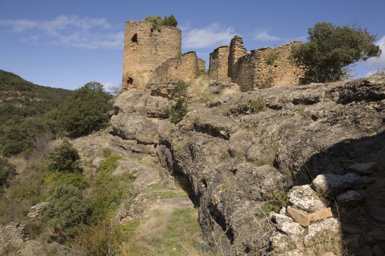
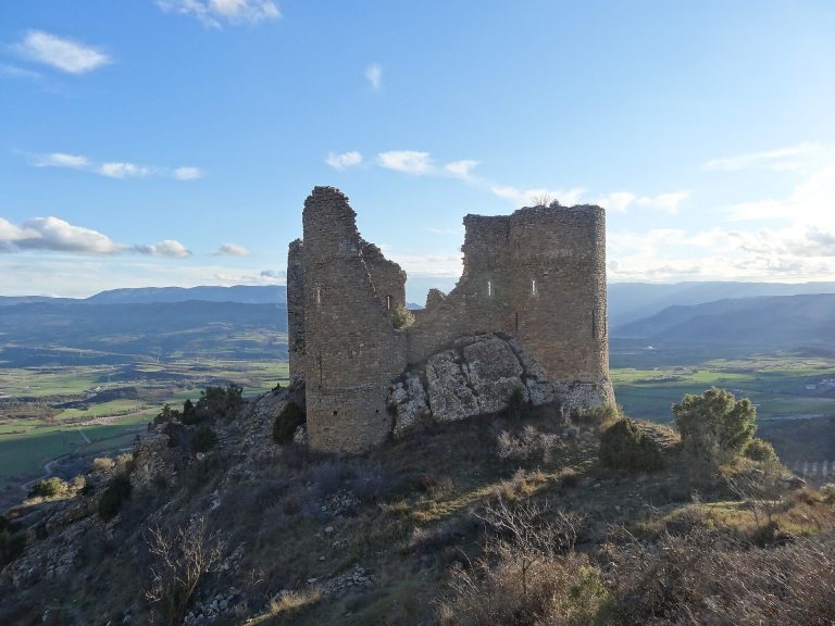
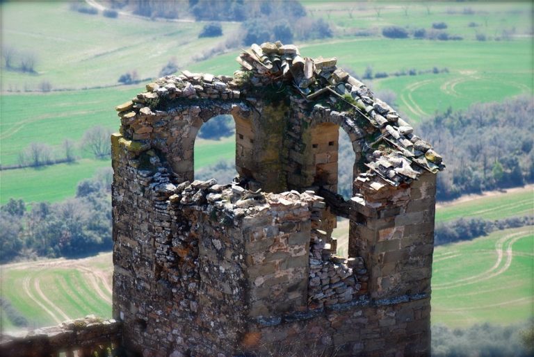
The castle was completely abandoned after the nineteenth-century disentailment measures. During the following two centuries, it deteriorated into a largely skeletal ruin, although its position on the ridge kept it visible across much of the comarca. It was declared a historic-artistic monument in 1980 and became a national cultural-interest asset in 1988.
After encroaching holm-oak woodland was cleared, archaeological excavation began in 1997 as preparation for restoration. The third phase of intervention was completed in 2008. Excavation and reconstruction removed accumulated rubble, rebuilt collapsed sections of walls and roofs, and consolidated the standing remains. A fourth phase was intended to address the church of Sant Sadurní de Llordà.
Remains
Enclosures and settlement
At an elevation of about 944 metres, the castle is arranged in three successive enclosures, with the seigneurial palace at the summit. The outer enclosure was incomplete because steep slopes and near-cliff edges protected its eastern and western sides. Its northern sector was defended by the higher enclosures, while the southern side descended by a substantial slope towards Llordà and the Conca Dellà plain.
Outer enclosure
The first enclosure contained the church of Sant Sadurní, the buildings of the former collegiate institution, a broad area occupied by the original village of Llordà, the garrison, and livestock-related dependencies. A collegiate institution was a church community served by a chapter of canons rather than by monks. The village was later moved to its present location, 168 metres lower down. The church, part of the collegiate complex, and sections of the outer wall are the principal surviving elements of this enclosure.
Upper enclosures
The upper double enclosure lies higher and to the northeast. Its walls follow the eastern and western cliff edges and close the ridge to the north and south, forming a triangular plan shaped by the natural ground. Access was possible only from the west, probably through a gate leading from the lower enclosure. Much of the tower between the first and second enclosures survives. It stood northwest of the first enclosure and southwest of the second.
Seigneurial residence
The summit enclosure contains the former seigneurial residence and is separated from the preceding enclosure by the palace itself, with a narrow access passage on its northwest side. Together with the church, it forms the most prominent and best-preserved building complex at the site, despite earlier destruction. The residential building has three superimposed levels of rooms and additional dependencies, including a substantial kitchen.
On the ground floor, three parallel naves are covered by finely built barrel vaults. These spaces probably served supporting functions such as storage or a wine cellar. The upper level contained the great hall, which has three twin-arched windows. Two of these were reconstructed using the surviving original as a model. A further upper floor held chambers for the principal inhabitants. They opened only to the south through Romanesque windows with inwardly splayed reveals, a form that widens towards both sides of the wall opening.
Some inner wall sections contain opus spicatum, masonry laid in a herringbone pattern, although the main masonry belongs to the late eleventh century. The palace and its enclosures combine residential, military, religious, and agricultural elements within the high ridge setting that gave the castle its strategic position.