Castell d’Aguilar: A Territorial Frontier Castle in Spain
Site at a Glance
- Rating
- 4.7
- Popularity
- Very Low
- Country
- Spain
- Primary era
- Medieval
- External website
- Open
- Eras represented
- Medieval
- Civilizations
- Unclassified
- Site type
- Military
- Remains
- Castle
On this page8 sections
History
Castell d’Aguilar is a medieval territorial castle in Spain, located at Bassella in Lleida, on the former southern edge of the County of Urgell. First recorded in 1042, it was a castell termenat, a castle whose authority extended over a defined district, and it guarded the county’s frontier against territories controlled by Muslims. Its position and function may make it one of the few known examples of this type of frontier castle.
Early Lords and Ecclesiastical Control
In 1084, Isarn Guitard, lord of the castle, gave it to Arnall Gofré. After Arnall’s death, the property passed to his brothers Ramon and Arnau. Isarn Guitard’s testament of 1090 transferred the castle to the canonry of Santa Maria d’Organyà, a religious institution served by a body of canons.
The Aguilar name continued to appear in records connected with the surrounding area during the twelfth and thirteenth centuries. In 1135, Mir d’Aguilar made an agreement with the canons of Solsona over one-third of his mother’s properties at Oliana, which she had left to Santa Maria de Solsona. Another Mir d’Aguilar appears in 1234 as executor for Guillem de la Guàrdia-lada.
Conflict and Later Lordship
During the noble uprising against Peter III of Aragon in 1276, Ponç de Ribelles attacked Aguilar while it belonged to La Seu. The revolt took place in the Bishopric of Urgell, a church territory whose authority extended across part of the medieval county. In 1381, Aguilar had two hearths, meaning two recorded household units, and belonged to the administrative district of Cervera.
By the mid-seventeenth century, Maria de Biure i de Cardona was Baroness of Aguilar de Bassella. Her husband, Josep Margarit i de Biure, commanded forces against Philip IV of Castile during the Reapers’ War, the seventeenth-century conflict in which Catalan resistance opposed royal authority. Because he supported union with France, Louis XIII appointed him governor of Catalonia, and Louis XIV formally granted him the title of Marquis of Aguilar in 1653.
The family line ended with their great-granddaughter Joana-Hipòlita, who married Pere Francesc de Bou i Pujol. The title then passed to that family, which was established in France. After Castell d’Aguilar ceased to serve as a defensive site, houses were built around it, changing the settlement from a military centre into a village.
Submergence and Heritage Status
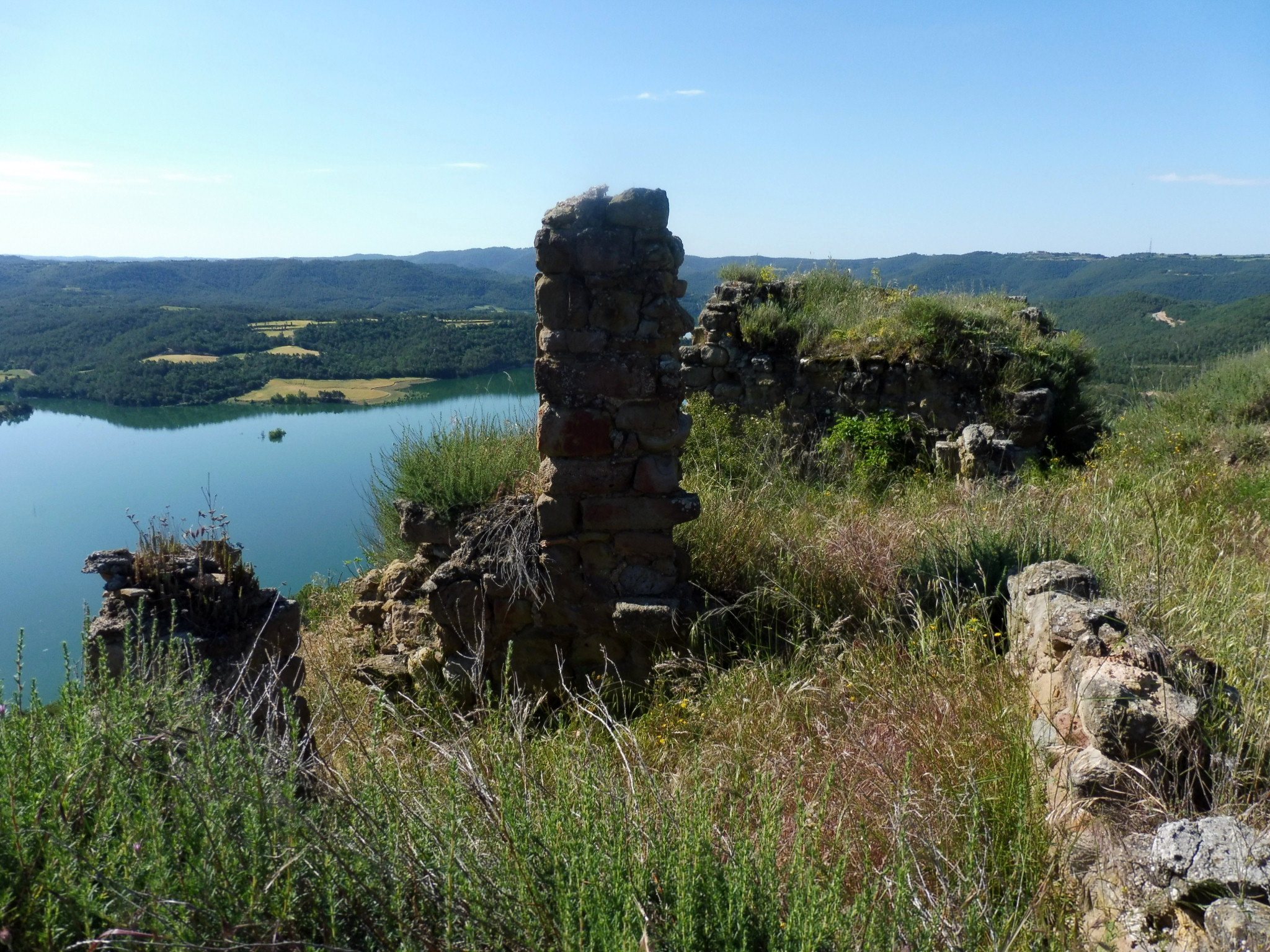
The ruins of the castle and old village are now isolated as a result of the construction of the Rialb Reservoir. Bassella, Aguilar, Castellnou de Bassella, and several farmsteads were wholly or partly submerged. Castell d’Aguilar is designated a Cultural Asset of National Interest in Catalonia, a high-level heritage status for sites considered nationally important.
Remains
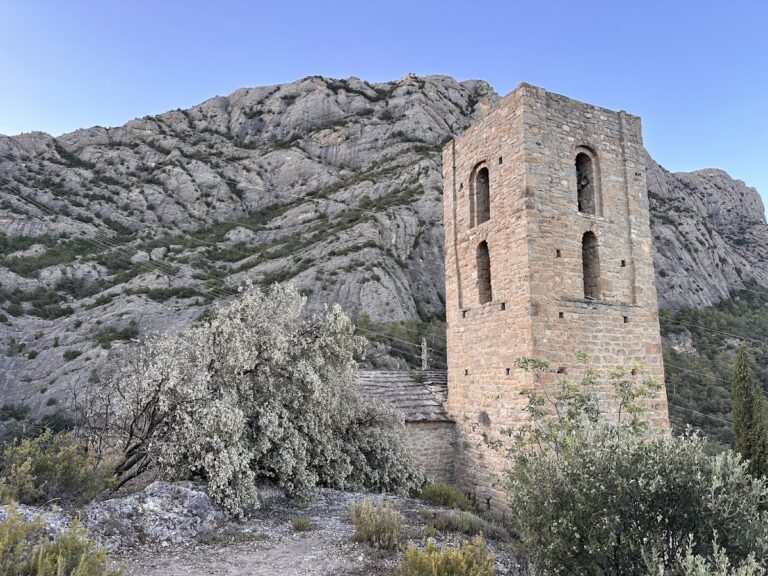
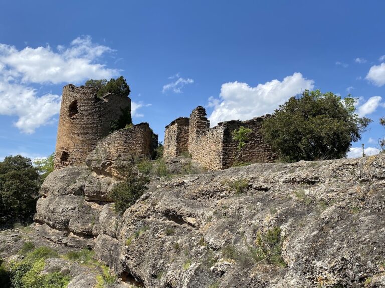
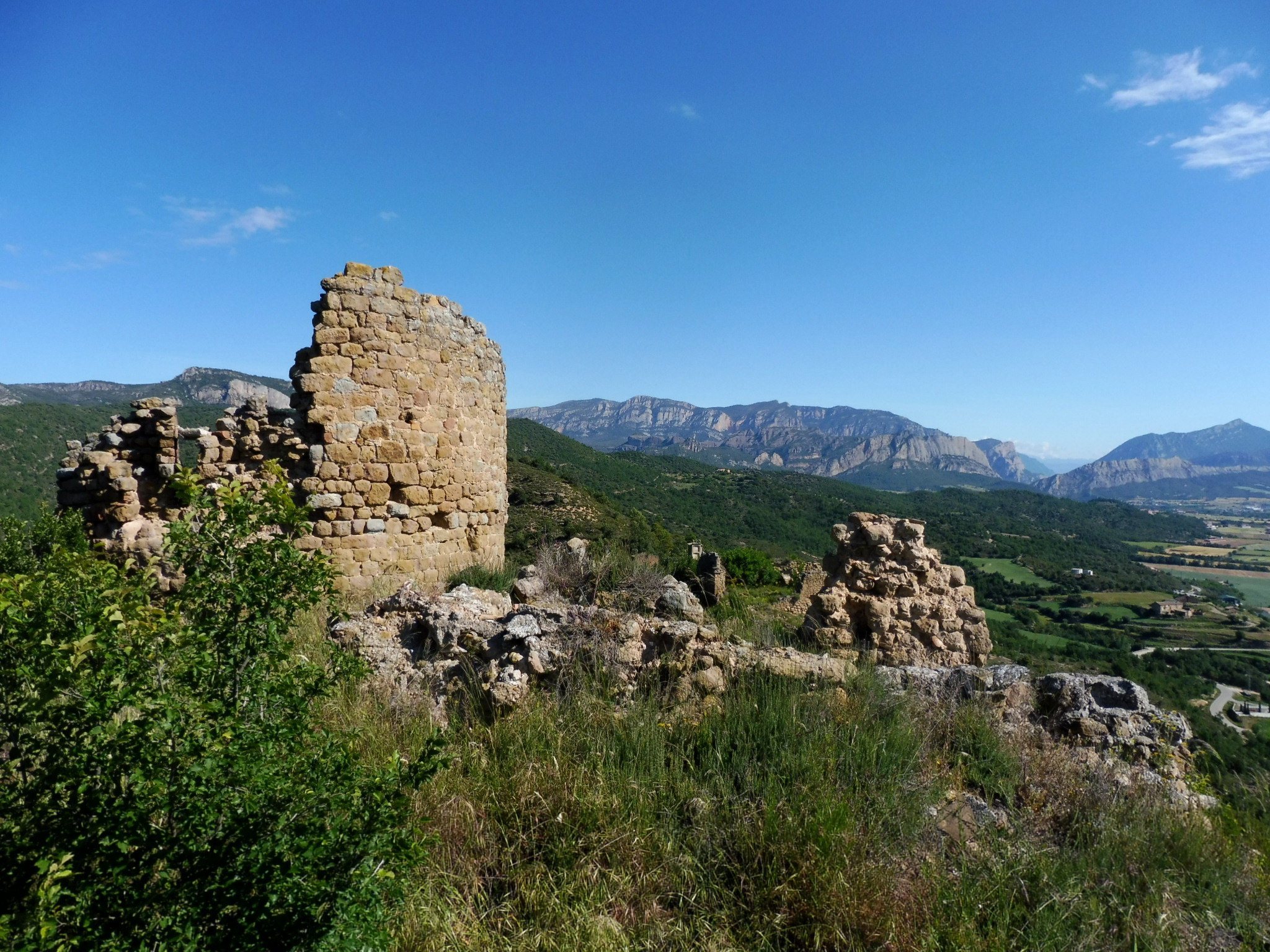
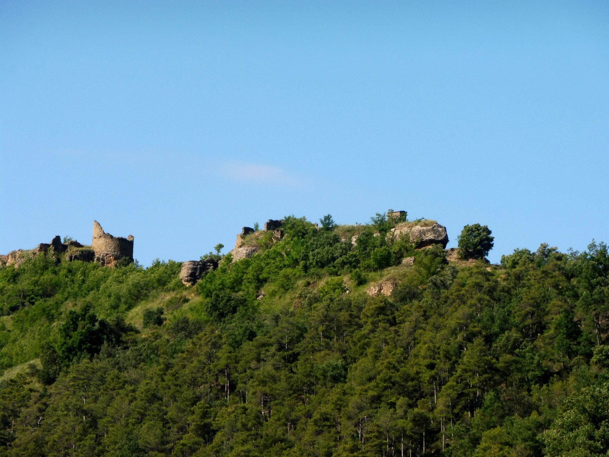
Known today as Aguilar Vell, the site occupies a rocky prominence at approximately 580 metres above sea level on the right bank of the Segre River, below the Sant Marc range. The castle and settlement occupy the prominence, while the remains of the village extend around the castle enclosure. Reused structures from different periods make the chronology of several parts difficult to establish.
Castle Tower
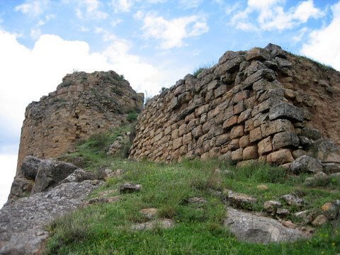
The principal surviving feature is a partly collapsed circular Romanesque tower, built in a medieval tradition known for substantial masonry, rounded arches, and frequent barrel vaults. It rises about 6 metres above a rocky socle roughly 5 metres high. The tower is approximately 7.2 metres in diameter, with walls about 2 metres thick. In its lower section, which reaches around 3 metres high, carefully aligned reddish local ashlar blocks measure about 20 by 30 centimetres. An arrow slit, a narrow opening for observation or firing, remains visible on the eastern side.
The masonry indicates that the tower was built in two phases. The presumed second phase uses more irregularly laid stone, and its wall thickness varies from about 1 metre to 70 centimetres. In the modern period, the tower was adapted for domestic use, divided into small rooms, and given a doorway on its south-west side. An enclosure was added to it, and a street extended from the tower around which the settlement’s houses were arranged.
Village Layout
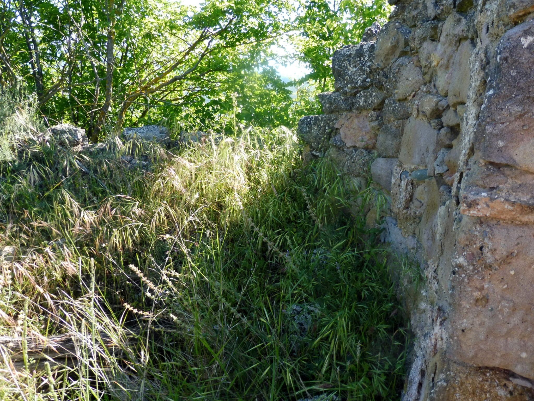
The old village survives in two parallel rows of houses separated by a north-south street approximately 2.2 metres wide. Most of the buildings are slightly rectangular, measuring about 5.5 by 5.2 metres, with walls around 60 centimetres thick made from stone and rammed earth. Irregular masonry rises to about 1.5 metres, with rammed earth above it, and each house has a single entrance approximately 1 metre wide. These domestic structures were built after the castle’s defensive role had ended and form the settlement surrounding the earlier military enclosure.
Southern Structure and Church
South of the village stands a structure interpreted as a silo or cistern. It is about 4.5 metres high, has walls 1.1 metres thick, and measures approximately 2.8 by 2.1 metres externally. Its well-built vault consists of carefully cut ashlar.
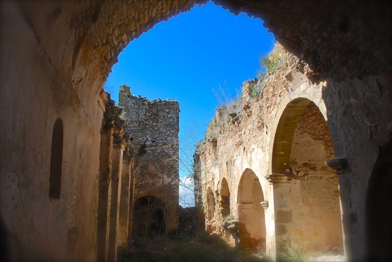
Outside the castle enclosure, north of the tower and at a lower level, are the remains of the Romanesque church of Sant Sadurní. It was a single-nave building covered by a barrel vault, a continuous semicircular vault extending along the length of the nave. The vault has collapsed, while the north and east walls and part of the south wall survive.