Aequum Tuticum: A Roman Road Junction in Italy
Site at a Glance
- Popularity
- Medium
- Country
- Italy
- Primary era
- Classical
- Eras represented
- Classical, Medieval
- Civilizations
- Kingdom of Sicily, Roman
- Site type
- City
On this page16 sections
History
Early settlement and possible origins
Aequum Tuticum is a Roman settlement site on the Sant’Eleuterio plateau near Ariano Irpino, Italy. It developed during Rome’s early dominance in the region as a vicus, a small settlement serving local communities and road traffic, and became an important crossroads. Its name joins Latin Aequum, meaning plain or open field, with Oscan Tuticum, meaning public or belonging to the people. Oscan was an Italic language spoken by the Samnites and others. The name may predate the Samnite Wars, conflicts between Rome and Samnite peoples in the fourth and third centuries BC, and may reflect local political importance, particularly among the Irpini. Aequum Tuticum has also been tentatively identified with the legendary place Touxion.
Pre-Roman finds cluster at the site’s northern edge, where an Italic sanctuary has been proposed. The settlement’s beginnings may be connected with land-distribution policies associated with Tiberius and Gaius Gracchus and the land law of 133 BC. It may have emerged around the same time as Forum Aemilii in the nearby Ufita Valley.
Roads and Roman administration
Several routes converged in the area. The Via Aemilia ran from south to north, and second-century BC milestones found at Manna-Torre Amando and Camporeale-Santa Lucia bear the name Marcus Aemilius Lepidus. The Via Minucia crossed the region on a broadly west-to-east or southwest-to-northeast line. Mentioned by ancient writers including Ovid, it offered a more direct but less convenient route than the Via Appia. Its course may have followed the narrow Cervaro Valley, though the Sannoro Valley is considered more likely. A third, unnamed road ran northwest to southeast, probably from Pentrian Samnium, perhaps along a route used for seasonal livestock movement. Its date is uncertain.
Cicero’s letter to his friend Titus Pomponius Atticus in 50 BC provides the earliest known written reference to the settlement, spelling its name Equus Tuticus. Cicero described it as a regular stopping point on the journey to Apulia, confirming its role as a crossroads by the first century BC.
During the reign of Hadrian, from AD 117 to 138, Aequum Tuticum belonged to the Seppia family of Beneventum and became an important junction between the Via Traiana and Via Herculia. The Via Traiana followed part of the earlier Via Minucia. The Via Herculia ran lengthwise through the Apennines and probably used at least part of the unnamed third route. Theodor Mommsen later characterized the settlement as a hub of roads.
Inscriptions place the area under the administration of the Roman colony of Beneventum, a settlement with formal Roman civic status, within the second administrative region of Italy, Apulia and Calabria, from the first century AD. When Beneventum became part of Campania in the fourth century, Aequum Tuticum probably did as well. References describing it as lying at Campania’s limit may, however, use Campania as a geographical description rather than an official boundary.
The settlement appears in the Tabula Peutingeriana, a surviving map of Roman roads, and the Itinerarium Antonini, an ancient route guide. By late antiquity, its name had become fully Latinized as Aequum Magnum or simply Aequum. Milestones from the Via Herculia found near the Intonti farms in Ariano and San Cesareo in Zungoli support these forms. Another route guide, the Itinerarium Burdigalense, names a stopping place called Aequum Magnum on its journey through Campania.
Late Roman decline
Two earthquakes caused severe damage around the middle of the fourth century. A villa was built over the earlier ruins soon afterward. By the sixth century the settlement had been abandoned, probably amid the invasions of the period.
Medieval Sant’Eleuterio and later history
By the tenth century, an arch was apparently the only element still standing from the ancient settlement. A notarial document of 988 refers to the locality by the arch of Sant’Eleuterio. The name Sant’Eleuterio has Greek-Byzantine origins and may date to the late ninth century, when Byzantine forces advancing from Apulia reached Beneventum.
From the twelfth century, people established a new settlement called Sant’Eleuterio, incorporating Roman remains into building foundations. The settlement appears in the Catalogus baronum, a record of barons and their obligations in the Kingdom of Sicily, in 1152. In 1191, Philip Augustus, king of France, described Sant’Eleuterio as a passage between Apulia and Terra di Lavoro on his journey from Otranto to Rome. His description may have referred to feudal or jurisdictional boundaries in the kingdom, or to the Adriatic and Tyrrhenian sides of the peninsula.
Raids by Muslim forces from Lucera, called Saracens in medieval European usage, contributed to the decline and depopulation of the settlement in the second half of the thirteenth century. It was abandoned in the fourteenth century. The ruins, the nearby deserted settlement of San Donato and their churches, woodland, and farms became a feudal estate of the bishopric of Ariano. After the nineteenth-century abolition of feudalism and suppression of church property, the area became part of Ariano’s territory.
Excavations between 1990 and 2000 revealed Roman structures and other remains. The first stretch of the Via Traiana between Beneventum and Aequum Tuticum is included in the UNESCO World Heritage property Via Appia: Regina Viarum, inscribed in 2024.
Remains
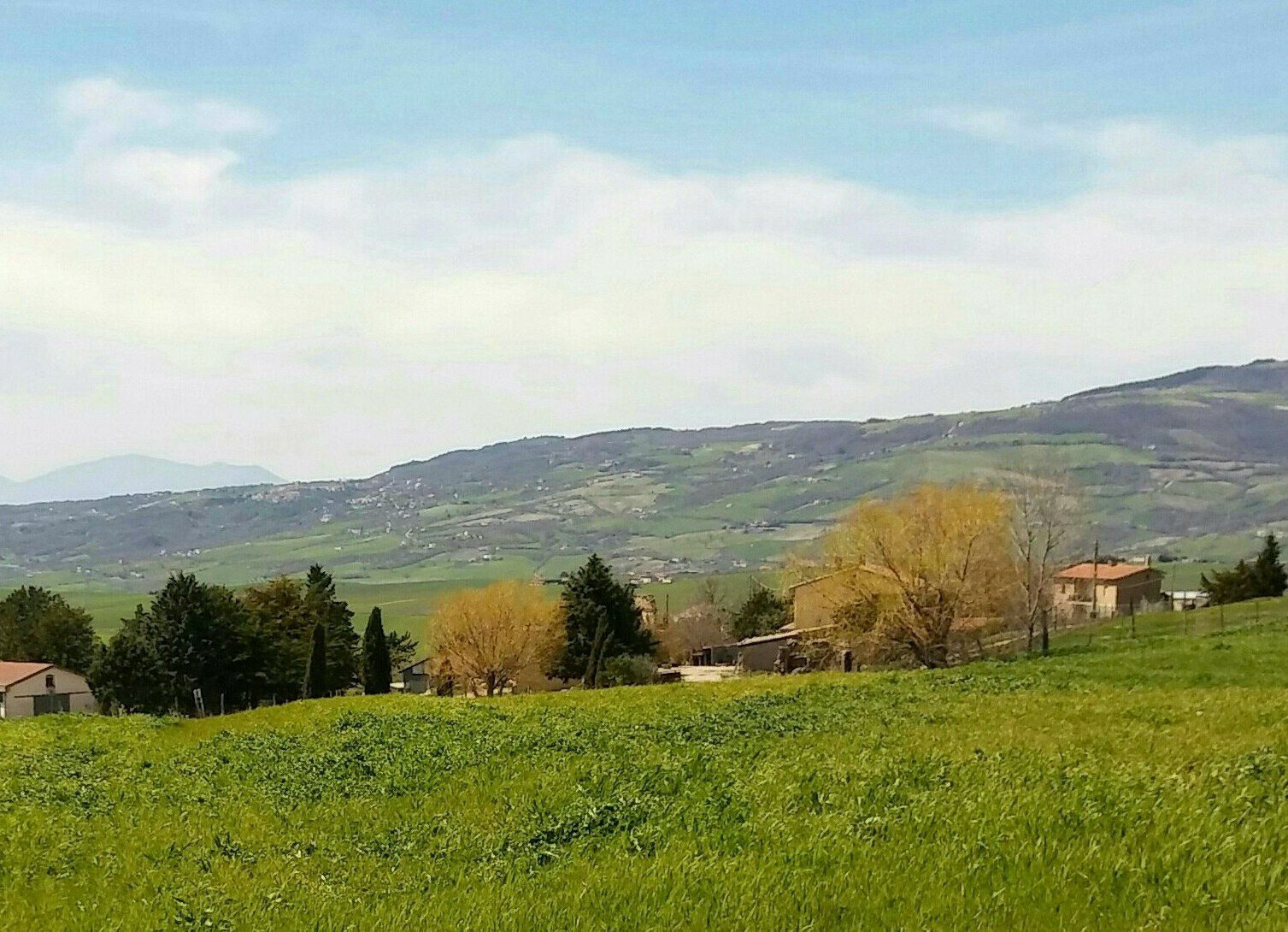
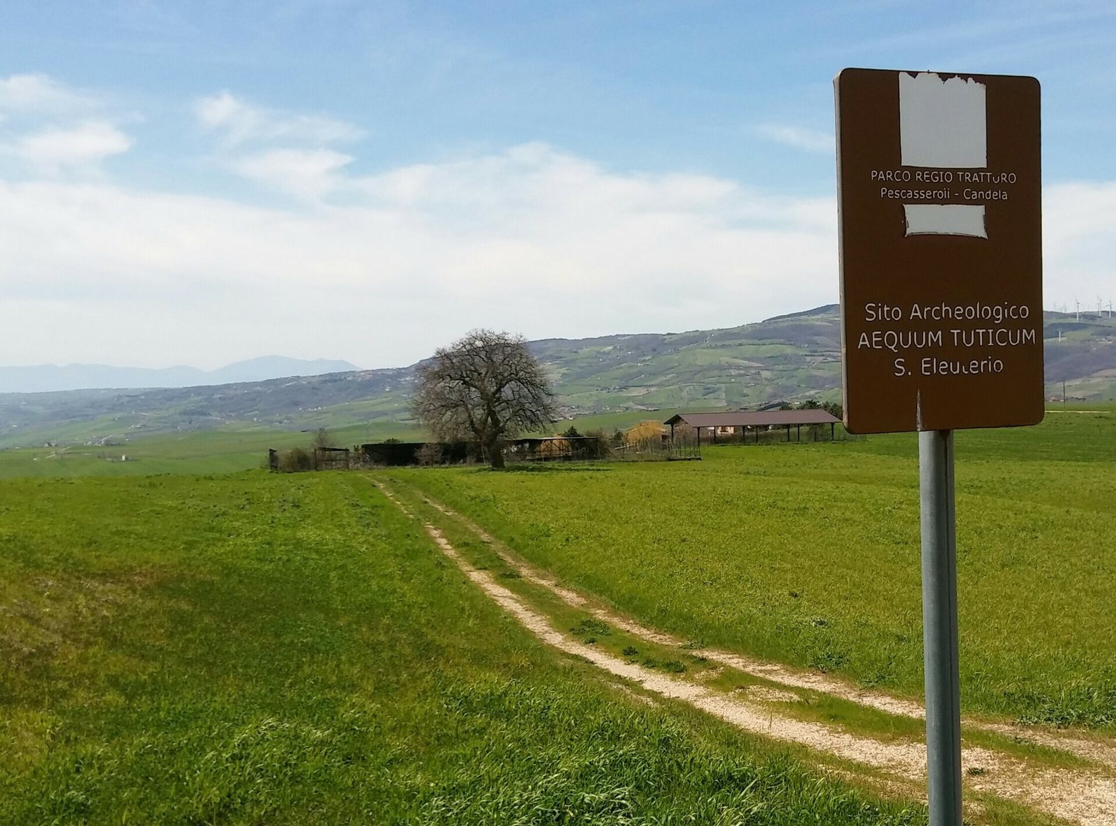
The site occupies the Sant’Eleuterio plateau at an elevation of 575 metres, on higher ground overlooking the Miscano Valley. It lies about 15 kilometres north of modern Ariano Irpino and 35 kilometres east-northeast of Beneventum. Identified road sections lie north of the site and toward the southeast, while two burial areas are situated to its south and west.
Roads and burial areas
Via Traiana
A stretch of the Via Traiana has been identified just north of the site, beside the Miscano stream. It forms part of the road corridor connecting Beneventum and Aequum Tuticum.
Via Herculia
Aerial photographs trace the Via Herculia leaving Aequum Tuticum toward the southeast.
Burial areas
Two areas used for burials lie to the south and west of the road corridor. Excavated funerary material from the site includes carved grave markers.
Roman buildings and decoration
Bath building and adjoining rooms
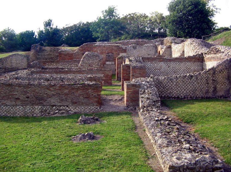
The earliest identified building complex is a bath dating to the first century. Its central cold room has a black-and-white mosaic formed from small pieces. A row of rooms dating to the second century is associated with the bath complex; these spaces may have served as storerooms or shops.
Villa
The villa built above the earlier ruins contained a room decorated with a large mosaic in several colours.
Reused stonework and finds
Medieval building foundations
Roman walls were incorporated into the foundations of a building in the medieval settlement of Sant’Eleuterio, reusing ancient masonry within the later settlement.
Excavated material and collections
Finds from Aequum Tuticum include wall remains, ceramics, inscriptions, grave markers, and coins. Objects from the site and the surrounding Miscano Valley are held at the Archaeological Museum of Ariano Irpino. Several dozen inscriptions and architectural fragments are displayed in a stone collection in the municipal park.