Burgstall Plankenstein: A Medieval Castle Site in Germany
Site at a Glance
- Popularity
- Very Low
- Country
- Germany
- Primary era
- Medieval
- Eras represented
- Medieval
- Civilizations
- Holy Roman Empire
- Site type
- Military
- Remains
- Castle
On this page10 sections
History
Burgstall Plankenstein is a former castle site at Plankenfels, Germany. Its castle was built during the thirteenth century, served as the ancestral seat of the Plankenstein family, and remained in use into the fifteenth century.
The Plankenstein family and Bamberg
A document of 1217 names Conrad of Plankenstein as a witness to a confirmation by Bishop Eckbert of Andechs-Meranien for Langheim Monastery. Conrad appears before a member of the Walpot family in the witness list, a placement that reflects the standing attributed to his family. The Plankensteins were edelfrei, members of the free nobility rather than ministerial nobles who served a lord, and held the castle as their ancestral seat.
The family’s descent is uncertain. Hellmut Kunstmann proposed that Conrad came from the free noble lords of Aufseß, citing geographical connections and the repeated use of the name Conrad. The Plankensteins were probably the same family as the lords of Plankenfels, first named in 1255. Their nearby castles, Plankenstein and Plankenfels, may have belonged to one estate complex; Plankenfels Castle, about 1,250 metres to the southwest, was probably also first built by this family.
The castle later came under the Bamberg prince-bishopric, the bishop’s secular territory as distinct from his spiritual diocese, though the date and circumstances of the transfer are unknown. Its first documented pledge dates to 1260. Gotfridus de Stechendorf held it from 6 June 1305. Several old roads met nearby, including one protected by an official escort, and the castle stood on the boundary of high criminal jurisdiction with the Margravial Office of Bayreuth. These factors apparently made it valuable to Bamberg: eleven castle wardens served there during the fourteenth century.
A Bamberg land register of 1348 describes Plankenstein as the seat of an administrative office whose holdings did not form a single continuous district. Its scattered lands lay in Königsfeld, Moschendorf, Oberailsfeld, and Köttweinsdorf, and may have been remnants of a larger estate.
Pledges, rebuilding, and destruction
On 14 July 1352, Bishop Friedrich I of Hohenlohe pledged the castle to Count Hermann of Beichlingen, who had married a daughter of Konrad II of Schlüsselberg. Konrad had been killed during the 1347 siege of Neideck. On 17 November 1388, the castle was pledged to the knight Friedrich of Aufseß and his heirs for 200 gulden in return for guarding it. The pledge-holders had to keep and staff the castle at their own expense, open it to the bishop when required, and serve with their garrison on his side in war.
The castle was damaged, and may have been destroyed, during the War of the Cities of 1387–1389, a Franconian conflict between the Swabian League of Cities, an alliance of towns, and the Bavarian dukes. Afterward, an agreement with Bishop Albrecht of Wertheim allowed Friedrich of Aufseß to take timber from episcopal forests to build a residence and homestead. The castle was rebuilt.
Its final destruction occurred during the Princes’ War of 1459–1463, a regional conflict in which principalities opposed Ludwig the Rich, Duke of Bavaria-Landshut. The particular military action that destroyed the castle is unknown. A Bamberg land register of 1584 says it had not been rebuilt, although the bishop could still rebuild it. A map made in 1607 depicts the site as a ruin.
The ruins in later centuries
Friedrich Wilhelm of Aufseß received the castle as a fief in 1801, when only ruins of its formerly extensive buildings could be seen. An inventory dated 1 June 1804 described the site as rubble. During the first half of the nineteenth century, the Egloffstein family considered building a hunting lodge on the remaining walls, but did not carry out the plan.
A property record from 1808 lists a building called a castle, together with a barn, stables, and a hunter’s house. These entries probably refer to buildings in Plankenstein village, since a cadastral map of 1850 shows masonry remains at the castle site. After 1880, most of the remaining masonry was removed, probably for reuse in nearby settlements.
Remains
Setting and overall layout
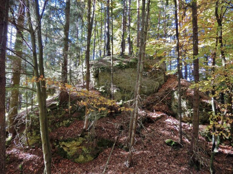
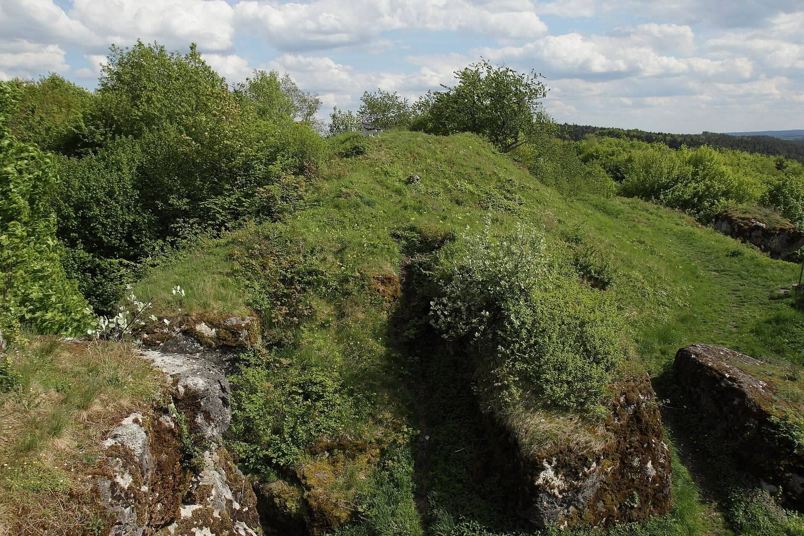
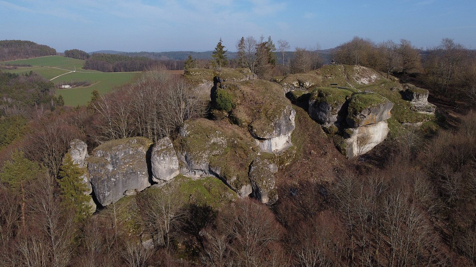
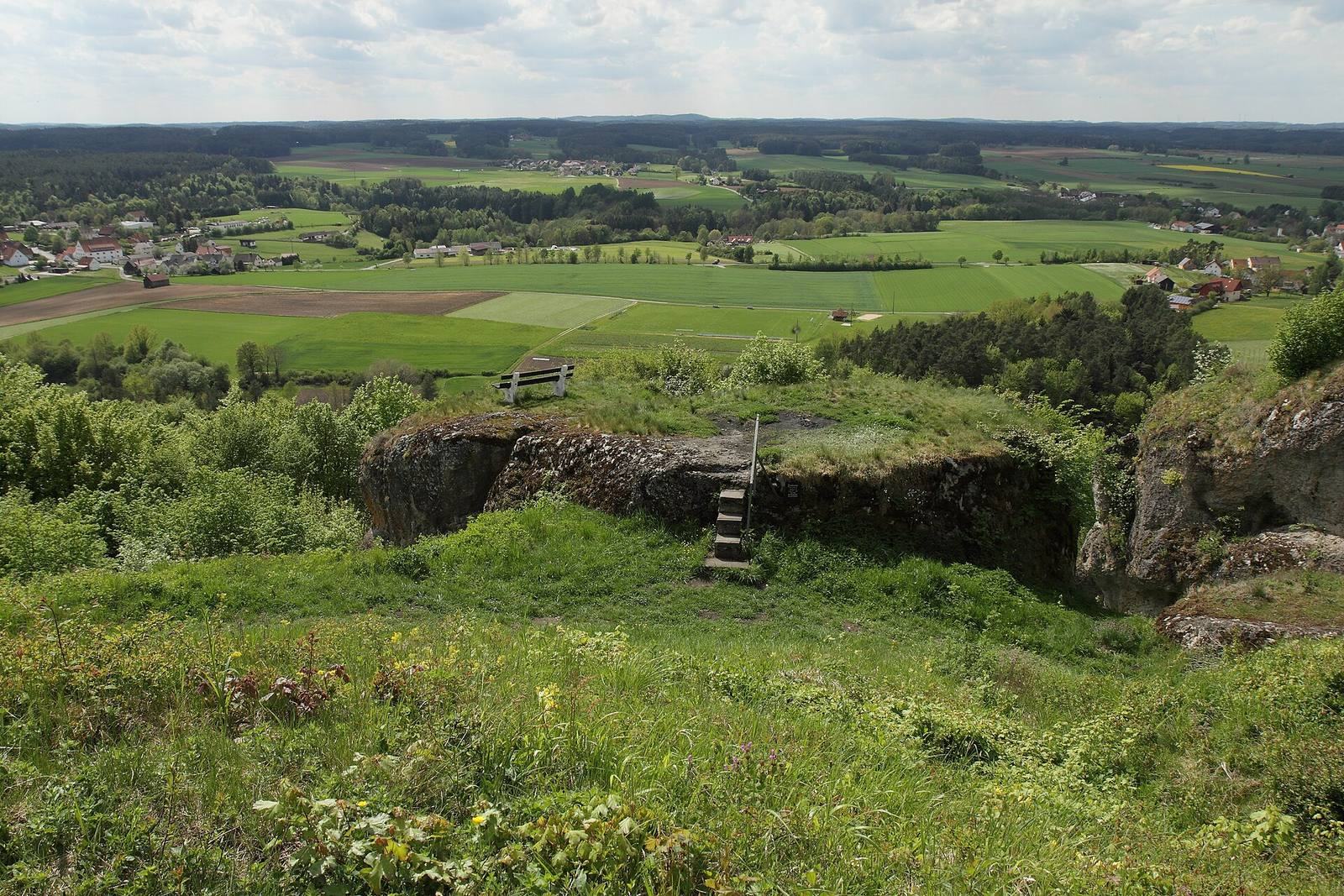
The castle occupied the 481-metre summit of Plankenstein in the northwestern Franconian Jura. It was a spur castle, a fortification built on a projecting ridge, and stood on a pointed rocky summit extending northwest between two valleys. The western slope falls about 110 metres toward the Lochau valley, while the southeast slope drops toward the Truppach valley. On the northeastern side, a gentler saddle leads toward higher ground and a narrow plateau between the valleys. The mostly treeless site has few visible traces of its former buildings. Its dolomite rock group is recognized as a geotope, a geological feature of scientific or educational interest.
Buildings and surviving features
Residential buildings and towers
The castle had three residential buildings, two towers, a kitchen building, and a gate with a small turret. A map from 1607 shows one residential building and a separate round tower on an isolated rock. One residential building stood on a rock within the castle, to the left upon entering and opposite the tower. Kunstmann suggested that the building shown on the map might be the ruined residence granted as a fief in 1470 and mentioned again in 1594 at the rear of the castle, toward Luchsenbrücken.
Entrance and rock outcrops
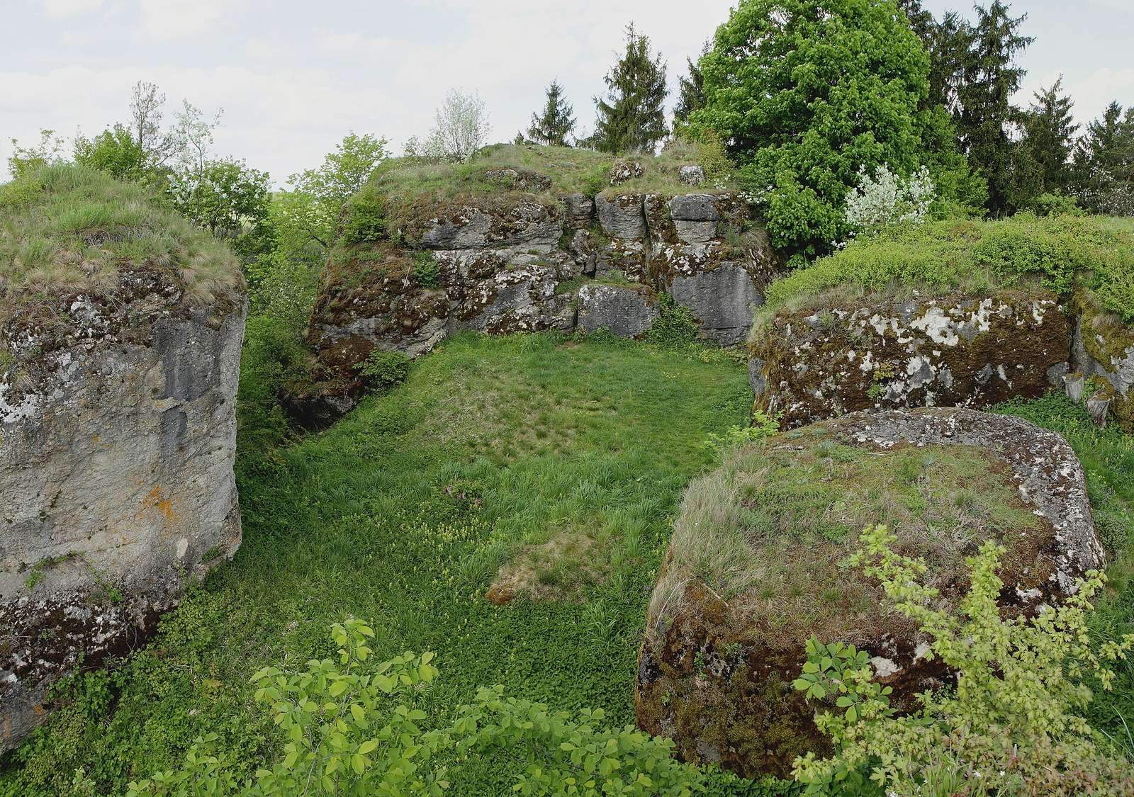
A natural cleft in the rock on the western side was widened to serve as a gate. Natural rock formations also formed part of the front of the castle site. An outcrop along the northern edge retains a small amount of masonry.
Possible building sites
A large mound of rubble at the tip of the rocky spur marks a possible building site, perhaps for a residential building or a tower. Another area within the castle site has also been identified as a possible location for a building.