Schlüsselberg Castle: A Medieval Hill Castle in Germany
Site at a Glance
- Popularity
- Low
- Country
- Germany
- Primary era
- Medieval
- Eras represented
- Medieval
- Civilizations
- Holy Roman Empire
- Site type
- Military
- Remains
- Castle
On this page12 sections
History
Schlüsselberg Castle was a medieval hill castle in Germany, built by Eberhard III of Greifenstein between 1216 and 1219. It stood near the boundary of the Prince-Bishopric of Bamberg, a territorial state governed by the prince-bishop, and was intended to secure the road from Waischenfeld to Pottenstein.
Foundation and the Schlüsselberg lordship
Before adopting the name Schlüsselberg in 1219, Eberhard’s family had been associated with Adelsdorf, Creußen, and Greifenstein. Its new name provides the main surviving link between the family and the castle. The Schlüsselbergs became one of Franconia’s prominent free noble families, a class distinct from families serving another lord, and built a substantial territorial lordship in the Franconian Alb.
Division of the family lands
The family’s holdings reached their greatest extent under Konrad II of Schlüsselberg. On 14 September 1347, he was fatally wounded during the siege of Neideck Castle, which he favored. His death ended the family’s male line. Under the Treaty of Iphofen, signed on 12 May 1349, the victors divided the Schlüsselberg possessions. The largest shares went to the Burgraves of Nuremberg, rulers of a territorial lordship associated with Nuremberg, and the Prince-Bishopric of Bamberg.
The castle may already have been abandoned or destroyed in the first half of the fourteenth century, and it appears to have ceased functioning as a castle. The site nevertheless remained part of the recorded lordship: in 1398 it was listed as a possession of the Burgraves of Nuremberg. Wall remains could still be seen in 1770, while stone rubble from the ruin covered the south slope in 1820.
Remains
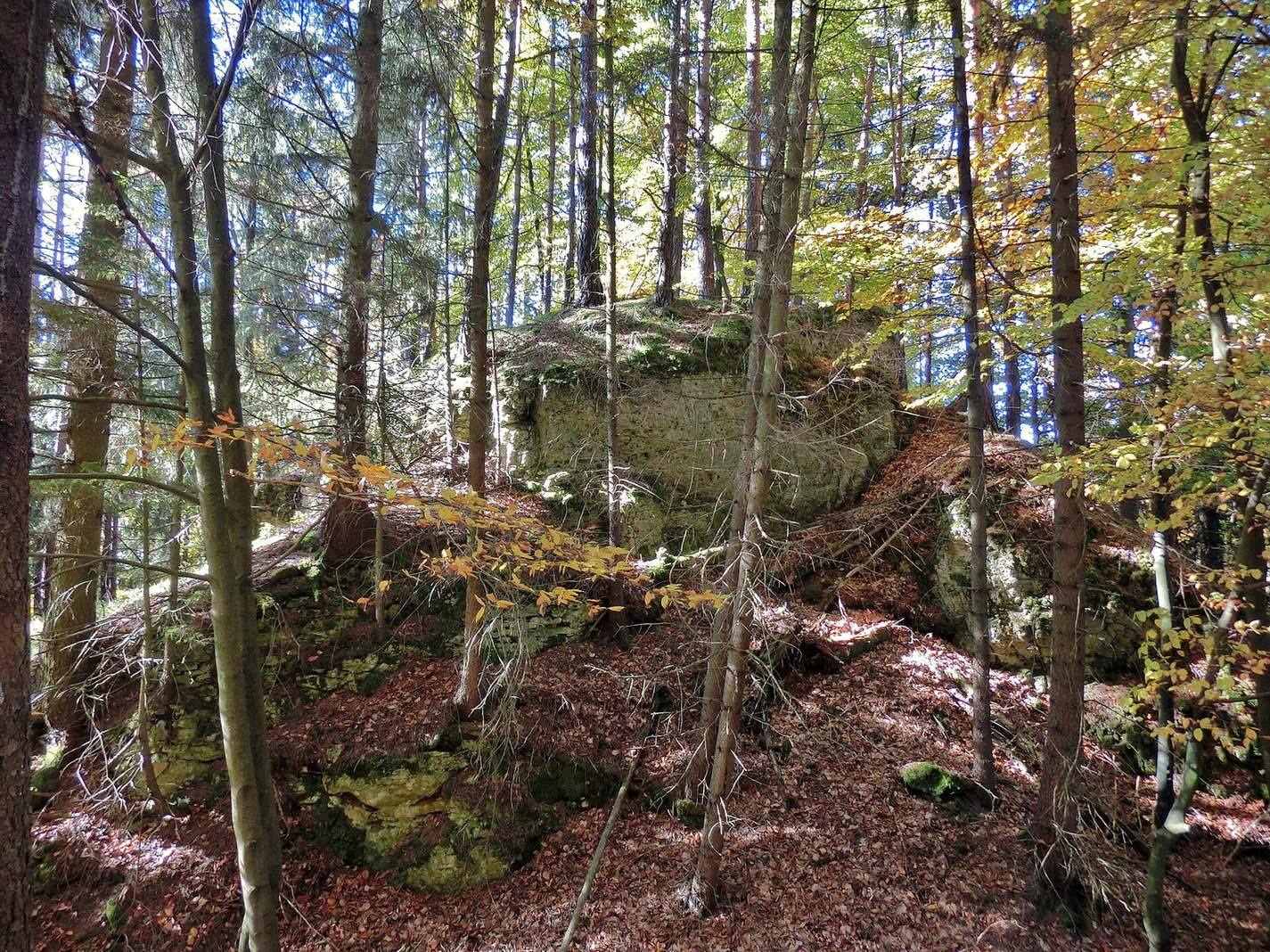
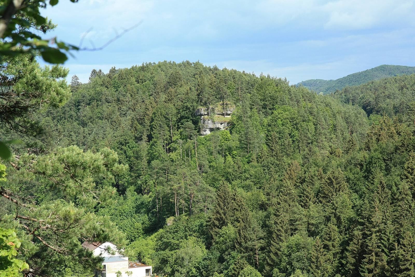
The former castle occupied a rocky spur on Schlüsselberg, also called Galgenberg, above Pulvermühle in the Wiesent valley. The slope’s broad plateau lies to the east, while the spur narrows westward. Ditches divide the approach, outer defensive area, and main castle, whose four zones extend from north to south. The surviving features include the ditches and a staircase cut into the rock.
Approach and outer defenses
Neck ditch and rock outcrop
At the junction between the plateau and the narrowing spur, a ditch about 19 metres wide and 3 metres deep cuts across the approach. Just beyond it, a rock outcrop rises 6 metres. It may have supported a wall or tower, while the entrance probably lay on a narrow ledge on its south side.
Outer ward
West of the outcrop, a ridge about 20 metres wide continues along the spur. Rock working indicates that the outer ward, the castle’s outer defensive area, probably stood there. The ground falls steeply north toward the Wiesent valley and south toward the Schleifgraben. About 75 metres beyond the first ditch, a second ditch, 12 metres wide and 3 metres deep, separates this area from the main castle.
Eastern plateau rise
A circular rise on the plateau, about 200 metres east of the first ditch, is associated in local tradition with a castle tower, possibly a watchtower that may have offered a view east. Waischenfeld residents later built a gallows on the tower’s foundations, giving Galgenberg, or “Gallows Hill,” its name.
Main castle
Northern ledge
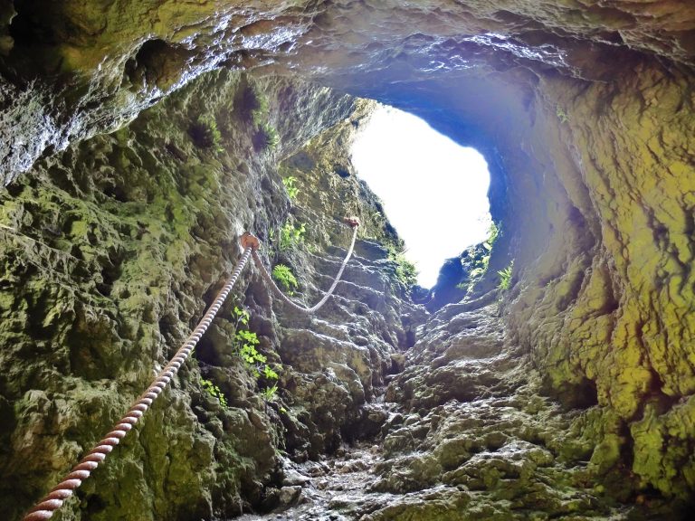
At the northern end of the main castle, a low, narrow ledge contains a pit and a six-step staircase cut into the rock. Buildings apparently stood in this area, and a cistern, a water-storage chamber, has also been proposed.
Rock ridge
South of the ledge, a two-part rock ridge rises between 5 and 10 metres from east to west. The western part was probably built upon. The ridge forms the western end of the castle site, where the ground drops about 15 metres vertically.
Southern ledges
South of the ridge is a level ledge regarded as the castle’s safest and most representative position. A great hall, the principal residential building, a keep, the main defensive tower, or a smaller tower may have stood there. Farther south, another level area lies 2 to 3 metres lower. The terrain of the main castle falls steeply to both the north and the south.