Poppberg Castle Ruins: A Medieval Hilltop Castle in Germany


Site at a Glance
- Rating
- 4.4
- Popularity
- Very Low
- Country
- Germany
- Primary era
- Medieval
- Eras represented
- Medieval
- Civilizations
- Holy Roman Empire
- Site type
- Military
- Remains
- Castle
On this page10 sections
History
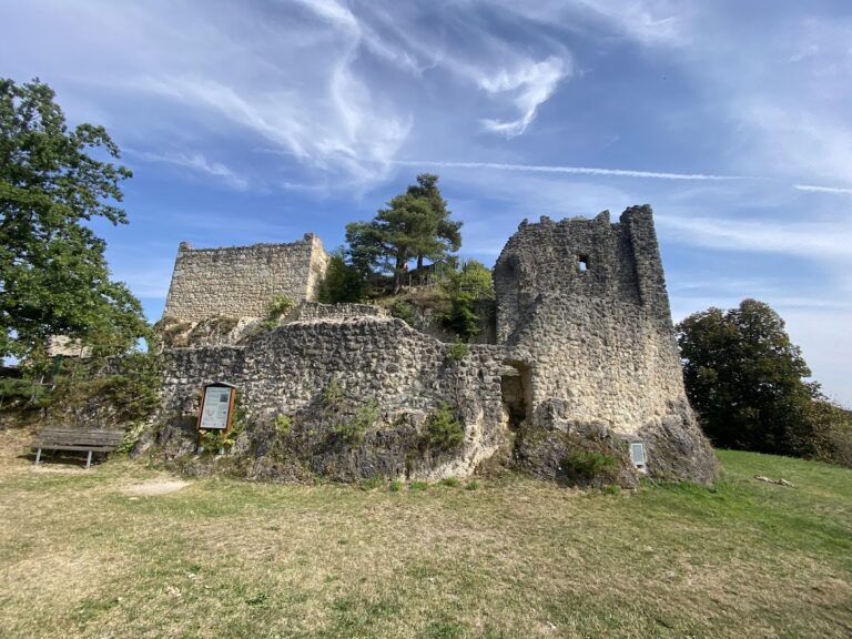
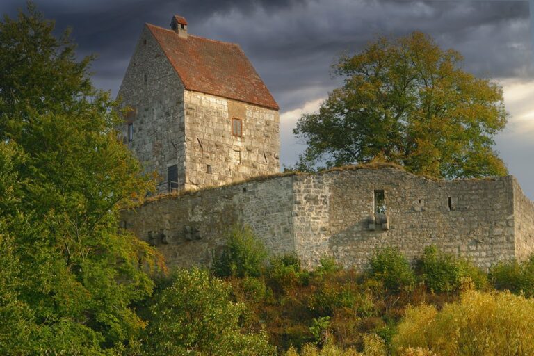
Poppberg Castle Ruins are the remains of a high- to late-medieval noble castle in Germany, built probably during the thirteenth century by the Counts of Sulzbach. The castle stands at Poppberg in the municipality of Birgland, Bavaria, and occupied a strategically difficult hilltop position in the Franconian Jura.
Counts of Sulzbach and Imperial Ownership
The two-part castle probably originated under the Counts of Sulzbach. It consisted of a main castle and an outer courtyard, enclosed together on the summit of Poppberg. The site entered a wider political network in the fourteenth century. It belonged to Charles IV, the Holy Roman Emperor and King of Bohemia, between 1353 and 1373.
After this period, Poppberg passed to Margrave Otto of Brandenburg. In 1379, the Bavarian dukes John and Stephen acquired it. They sold the castle in 1395 to Rupert III, Count Palatine, a late-fourteenth- and early-fifteenth-century ruler of the Palatinate who later became German king.
Later Administration and Decline
In 1505, the castle was incorporated into the Duchy of Sulzbach, a territorial state ruled by the Bavarian Wittelsbach dynasty. The land beneath the castle was sold to farmers in 1550. After the buildings fell into decay, the ruin passed to the Bavarian state in 1791 and is now privately owned.
A possible predecessor castle has been proposed at Hagfelsen, about three kilometres east-northeast of Poppberg, although the identification remains uncertain. The castle ruin is protected both as an archaeological monument, covering the medieval remains in the castle area, and as an architectural monument. Parts of the surviving masonry remain vulnerable to further collapse.
Military Observation in the Twentieth Century
During the Second World War, a flight-observation post was installed on the former southwest wall tower. Such a position detected aircraft and reported their movements. Anti-aircraft soldiers used the post to monitor air traffic around Nuremberg and relay each aircraft to the city’s central station. Similar observation reportedly took place during the Nazi Party rallies held before the war.
Remains
Summit Setting and Castle Layout
The ruin occupies the rocky summit of the free-standing, conical Poppberg, at 652.6 metres above sea level in the Franconian Jura. The summit drops by about 60 metres on every side and is heavily covered with rocks. This terrain made approach difficult even though the mountain has a moderate slope.
The castle was built on a roughly rectangular rocky plateau measuring about 75 by 45 metres. A shared curtain wall, the enclosing defensive wall of a castle, followed the edge of the plateau around both the main castle and the outer courtyard. The approach road came from the west, passed the southwest corner, and reached a gate near the middle of the south side. The gate opened into the eastern courtyard. Only unsecured, collapse-threatened sections of the courtyard’s curtain wall survive, while uneven ground may mark the positions of buildings once attached to it.
Main Castle Buildings
Palas
The main castle lay immediately west of the outer courtyard and was divided from it by a simple wall. Its northern part contains the palas, the principal residential and representative building of a medieval castle. The rectangular structure measures about 25 metres in length and 12 metres in width and was built from roughly worked rubble stone.
More carefully finished rusticated ashlar blocks, deliberately prominent rough-faced stones, strengthened the southeast corner. These blocks survive to a height of about three metres, with the remainder probably removed for reuse in nearby buildings. The missing exterior walls on the west and north sides make it uncertain whether the other corners were treated in the same way.
The palas probably had a tower-like form. Three storeys remain, while at least one further storey is inferred. Its partly buried entrance once led into a basement and then to an unlit intermediate floor. The residential level was on the third floor, where window openings survive. A probable main entrance on the southern long side was reached by a stairway, while entrances at the southwest and northeast corners led to the wall walks, passages along or behind the curtain wall for observation and defence.
Southwest Wall Tower
A small tower stood on a pointed rock at the southwest side, the highest point of the castle. Its dimensions indicate a defensive wall tower rather than a keep, the principal fortified tower of a castle. From this position it overlooked much of the approach road and the gate, while also offering a partial view into the main castle.
The tower had a square plan and projected across its full width from the curtain wall along the south and west sides. Its south and east sides survive. Almost all exterior masonry on the west has disappeared, and the north side is entirely gone. The top, now about four metres high, is covered with brickwork. The Second World War flight-observation post was placed on this surviving structure.
Construction and Surviving Masonry
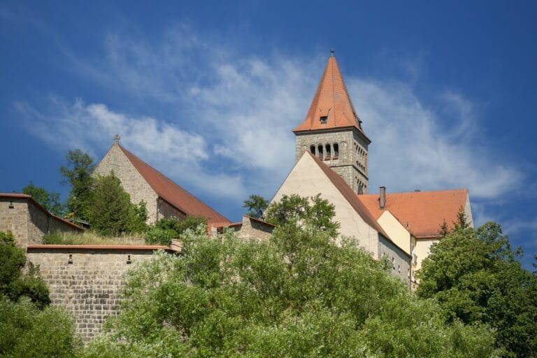
Rubble-stone masonry forms most of the castle fabric, with rusticated corner ashlar used in parts of the palas. The surviving remains are fragmentary, comprising the principal building, sections of the curtain wall, and portions of the southwest wall tower. Some masonry is unstable or threatened by collapse. Poppberg stands within sight of the former Habsberg Castle site, now occupied by the pilgrimage church of the Assumption of Mary, while the Leherfels castle site lies nearby on Leherberg.