Burgstall Troßberg: A Medieval Castle Site and Administrative Seat in Bavaria
Site at a Glance
- Rating
- 5
- Popularity
- Very Low
- Country
- Germany
- Primary era
- Medieval
- Eras represented
- Medieval
- Civilizations
- Duchy of Bavaria, Holy Roman Empire
- Site type
- Military
- Remains
- Castle
On this page6 sections
History
Burgstall Troßberg is the site of a noble castle near Langenmühle in Pilsach, Germany. During the High and Late Middle Ages, it served as the administrative seat of the reeves of Litzlohe, a district comprising lands owned by St. Emmeram Monastery in Regensburg. The district was later incorporated into the Pflegeamt Pfaffenhofen, a territorial administrative district.
Reeves of Litzlohe
The Counts of Kastl held the reeve’s office before the Wolfsteiners. At the end of the thirteenth century, authority over the Litzlohe bailiwick, meaning the reeve’s office and its jurisdiction, passed to the dukes of Bavaria. The dukes appointed members of their service nobility, known as ministeriales, as reeves at Troßberg.
Konrad Senfft is recorded at the castle in 1293. The following year, Rudigerus, called Furhenriet, was at Troßberg and served as a witness for Seyfried Schweppermann, a Bavarian knight and military commander. From about 1322, the Senfft family was based at Pilsach Water Castle.
Later holders
Heinrich Zenger was the last securely recorded holder of Troßberg, in 1377. The Zengers belonged to the Bavarian dukes’ service nobility and also held the castles of Velburg and Lutzmannstein. Albrecht Ratz von Freyenried, recorded in 1487, may have been a later reeve. The Ratz von Freyenried were a branch of the Ratz von Eismannsberg family.
Remains
Setting and defenses
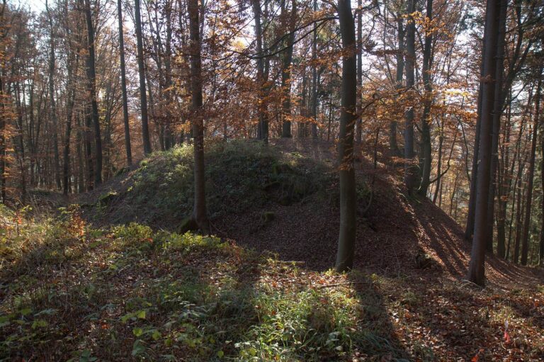
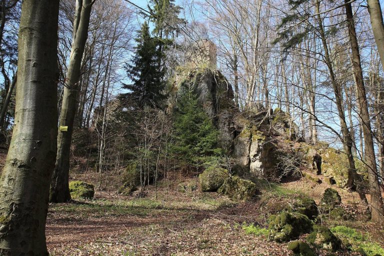
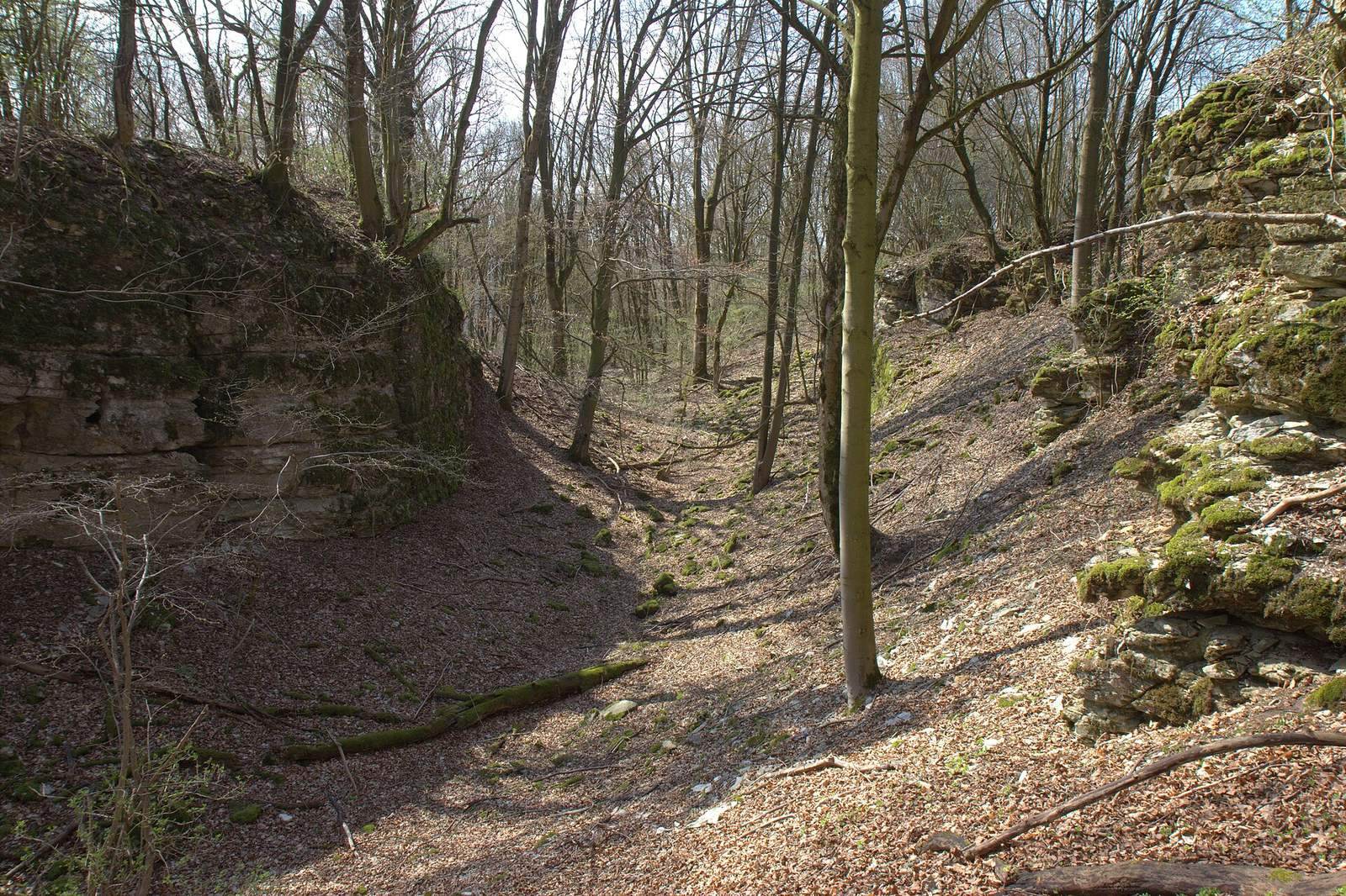
The castle site occupies a rocky spur of the Schweinberg, about 536 metres above sea level and roughly 55 metres above the Pilsach valley floor. The upper Pilsach curves around the spur, which projects southeast into the valley and connects to higher ground on the northwest. Steep slopes defend three sides, while a defensive ditch across the spur curves outward between its eastern and southern slopes. Much of the ditch may have formed through natural processes. On the southern slope, it continues for several metres as a hillside ditch, with an outer rampart in front. A change in ground level on the east may mark an entrance or an outer defensive enclosure.
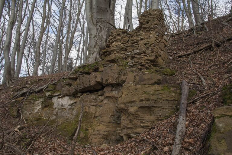
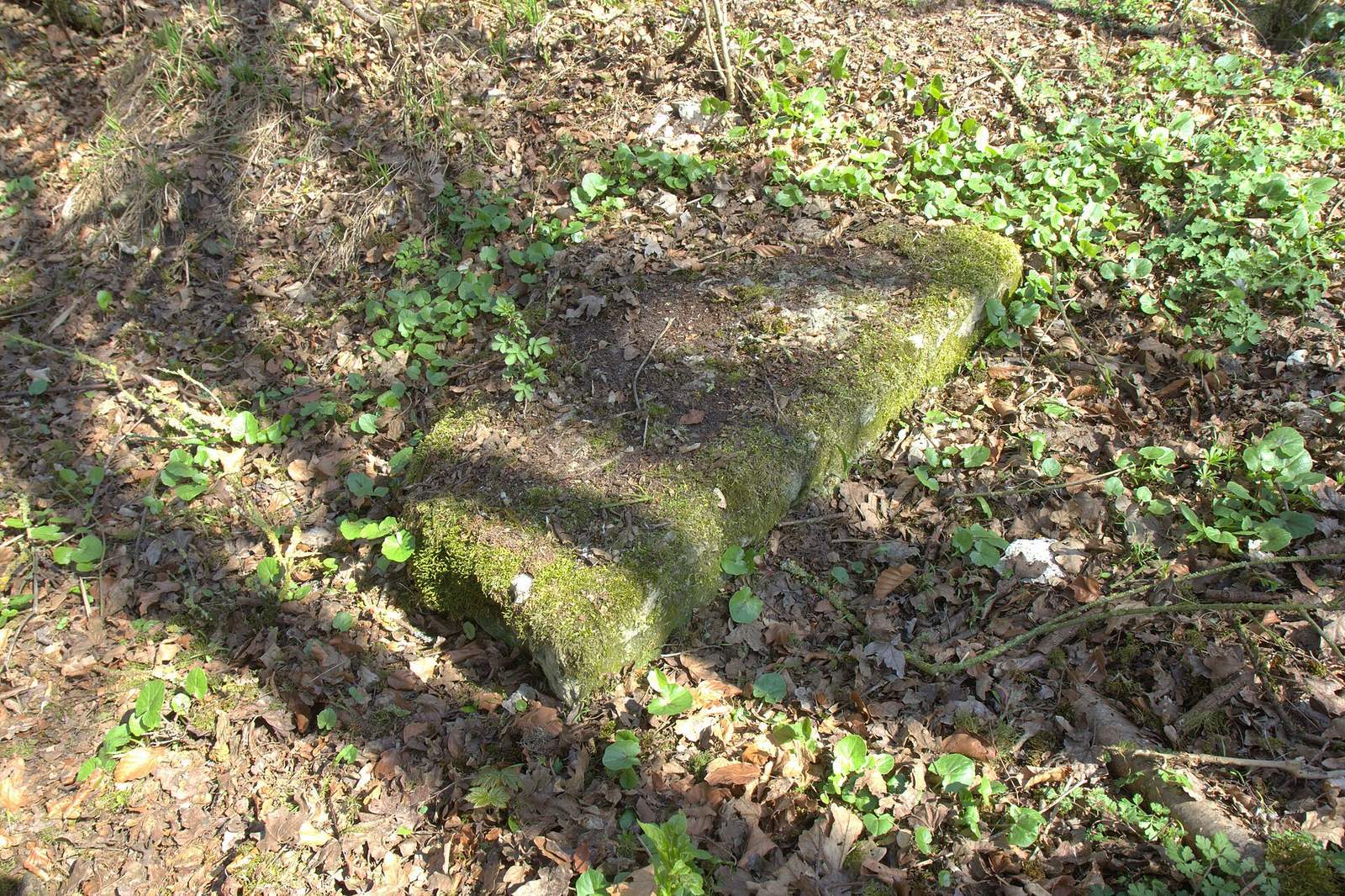
Castle platform and building traces
The castle platform is a flat, triangular rocky plateau with a shape resembling a truncated cone. Its edge drops almost vertically toward the defensive ditch, while the other sides are steep and partly strewn with rock. Depressions and mounds across the plateau indicate building activity. A large hollow in the west may be the cellar of a substantial building, and a small, funnel-shaped depression may mark a water cistern. At the southern tip, a few foundation remains probably belonged to a tower-shaped structure; a large block of regularly cut stone remains visible. Dense woodland now covers the site, where the ditch and foundation traces are among the principal surviving features.