Burgstall Kleiner Hansgörgel: A Medieval Hilltop Castle Site
Site at a Glance
- Popularity
- Very Low
- Country
- Germany
- Primary era
- Medieval
- Eras represented
- Medieval
- Civilizations
- Holy Roman Empire
- Site type
- Military
- Remains
- Castle
On this page7 sections
History
Burgstall Kleiner Hansgörgel is a medieval hilltop castle site in Germany, probably built in the thirteenth century. Finds of mortar and pottery support this dating. The wider elevated settlement area had also been used in prehistoric times.
The Krumbach family and the castle
The castle has often been associated with the Krumbach family, whose members held property near Oberkrumbach and Herstorf. That local connection makes them possible owners, but the identification of the castle as their seat remains unproven.
The first secure record of the Krumbach family dates to December 1236, when Reinmar von Krumbach and Ulrich von Lintha brought inheritance claims in Nuremberg. The dispute concerned property that Heinrich and Hermann Ambergarius had previously transferred to the Teutonic Order, a medieval religious and military order. The claims were rejected. A separate record from 1157 names Tegeno of Krumbach, whom Voit considered a member of a different family near Sesslach.
Hermann von Krumbach appears as a witness in 1270. Around 1275, a man named Chrumpecherius held pledged property in Oberkrumbach and in Herstorf, an abandoned settlement, from Hiltpold of Hiltpoltstein. Voit identified Chrumpecherius as Hermann and suggested that Hermann might have been Reinmar’s son, though this relationship is unproven.
Voit described the Krumbachs as people legally subject to the emperor and as vassals, who held land in return for service to a lord. Their overlords were probably members of the Rothenberg-Lauf-Hiltpoltstein ministerial family, a service nobility holding posts and fiefs for a lord, until 1285. From that year, Dietrich I of Wildenstein and his descendants held the fief; they later became known as the Lords of Rothenberg.
On 21 March 1323, King Ludwig IV, also known as Louis the Bavarian, transferred five members of the family, Konrad, Götz, Heinrich, Berthold, and Friedrich, and their descendants to the hospital in Nuremberg as a religious endowment intended to secure spiritual benefit. Voit counted seven named family members in records from 1236 to 1323 and later conjectured that the family had merged into the peasantry.
The proposed identification
Wilhelm Schwemmer proposed a possible connection between the castle and the Krumbachs in 1959. Gustav Voit later identified the site as the family’s seat, drawing on regional property records. In 2006, Robert Giersch, Andreas Schlunk, and Berthold von Haller judged that identification unproven, while accepting that the family itself is documented through 1323.
Remains
Earthworks and castle layout
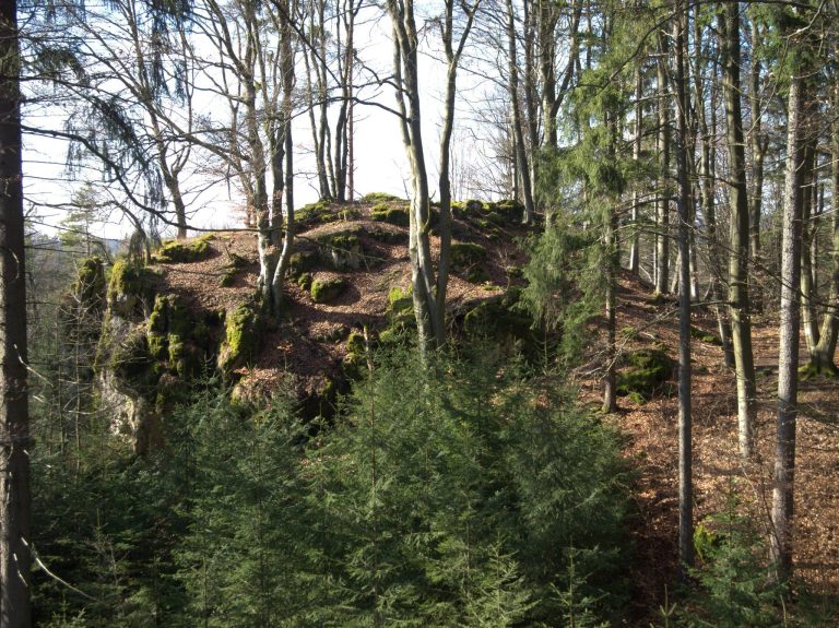
The castle occupied the highest point of Kleiner Hansgörgel, a spur projecting southeast from a plateau at the confluence of the Sittenbach and Pegnitz. The site lies in the western Hersbrucker Alb, within the Franconian Jura, at 553 metres above sea level and about 200 metres above the Pegnitz valley. The complex covered approximately 125 by 90 metres and had a roughly triangular plan, narrowing from about 90 metres at the spur’s neck to around 40 metres near the main castle. It comprised a lower and an upper castle, with the upper castle on an oval plateau at the spur’s tip. Today, the wooded site is defined chiefly by ditches and bank-like landforms.
Approach and lower castle
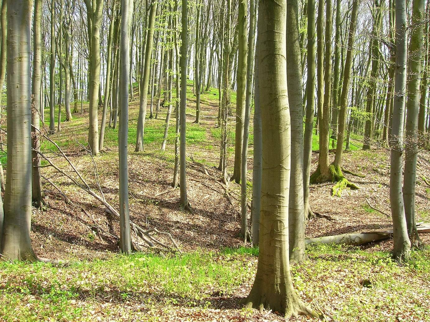
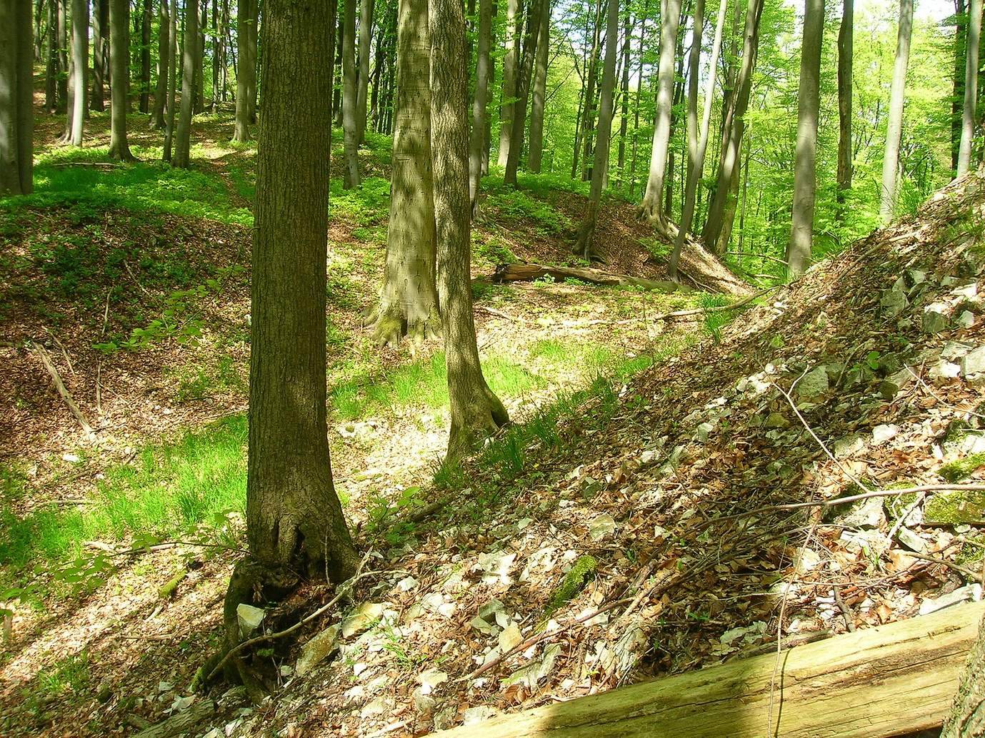
On the northwest approach, a defensive ditch cut across the spur for about 90 metres. It reaches up to four metres deep and has an inner bank roughly one metre high. Beyond it, the ground rises gently toward the lower castle. About 55 metres farther into the site, a second ditch curves around the oval upper castle. A crescent-shaped terrace beside this ditch is interpreted as a berm, a level strip alongside a defensive ditch.
Upper castle
The upper castle measured about 33 by 20 metres and stood at the site’s highest point, approximately 2.5 metres above the bottom of the second ditch. On its eastern side, another terrace lies about 2.5 metres lower.