Alter Rothenberg Castle Site in Germany
Site at a Glance
- Popularity
- Low
- Country
- Germany
- Primary era
- Medieval
- Eras represented
- Medieval
- Civilizations
- Holy Roman Empire
- Site type
- Military
- Remains
- Castle
On this page10 sections
History
The Alter Rothenberg Castle Site is a medieval stronghold on a ridge in Germany, probably built in the first half of the twelfth century. Finds from the castle area date to the decades around 1200. The land belonged to the Bishopric of Bamberg. The Hohenstaufen, a ruling dynasty of the Holy Roman Empire, exercised bailiwick rights there through subordinate officials. A bailiwick was an authority over land that could include protection and jurisdiction.
Hiltpold and Wildenstein lordship
As royal authority weakened after 1241–50, local imperial ministerials may have strengthened their position. Ministerials were members of a service nobility whose status and duties depended on a king or another lord. In 1254, Hiltpold of Hiltpoltstein used the name Hiltpold of Rothenberg while transferring a farm at Rüsselbach to the Magdalene sisters in Nuremberg, a religious community of women devoted to Mary Magdalene. The ministerials of Lauf-Hiltpoltstein-Rothenberg are last recorded in 1285, in connection with Ottnand.
The castle passed to the lords of Wildenstein through the marriage of the last Hiltpold’s daughter to Dietrich I of Wildenstein. By 1289, Dietrich and his sons were associated with Rothenberg, and the Wildensteins had adopted the Hiltpoltstein coat of arms. In 1297, Dietrich’s son Heinrich IV served Duke Rudolf of Bavaria.
Destruction and abandonment
The castle’s destruction in 1301 is associated with a feud involving Count Gebhard VII of Hirschberg, the Count of Oettingen, King Albrecht I, and the duke of Bavaria. Numerous castles were destroyed during the conflict. Fire layers at the site support destruction at the beginning of the fourteenth century.
Bamberg memorial registers used the name Rothenberg from the 1280s to 1316 when referring to property or service obligations in nearby settlements. These entries concern obligations in the surrounding area and do not date the castle’s continued use. Around 1330, Dietrich I of Wildenstein built the predecessor of the later Rothenberg fortress near Schnaittach. By then at the latest, the older castle had lost its function. By 1350, Rothenberg appears only as a place-name; in 1366, the hill is called Reisberg.
Excavation and interpretation
In 1936, Hans Ehrngruber led an excavation for the prehistory department of the Natural History Society of Nuremberg. The investigation identified the earthworks as a thirteenth-century castle, revising an earlier interpretation that they were prehistoric.
Remains
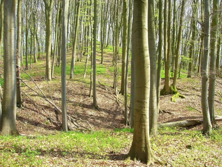
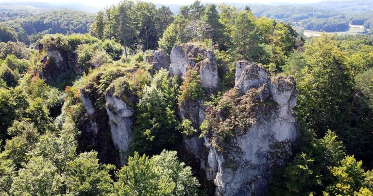
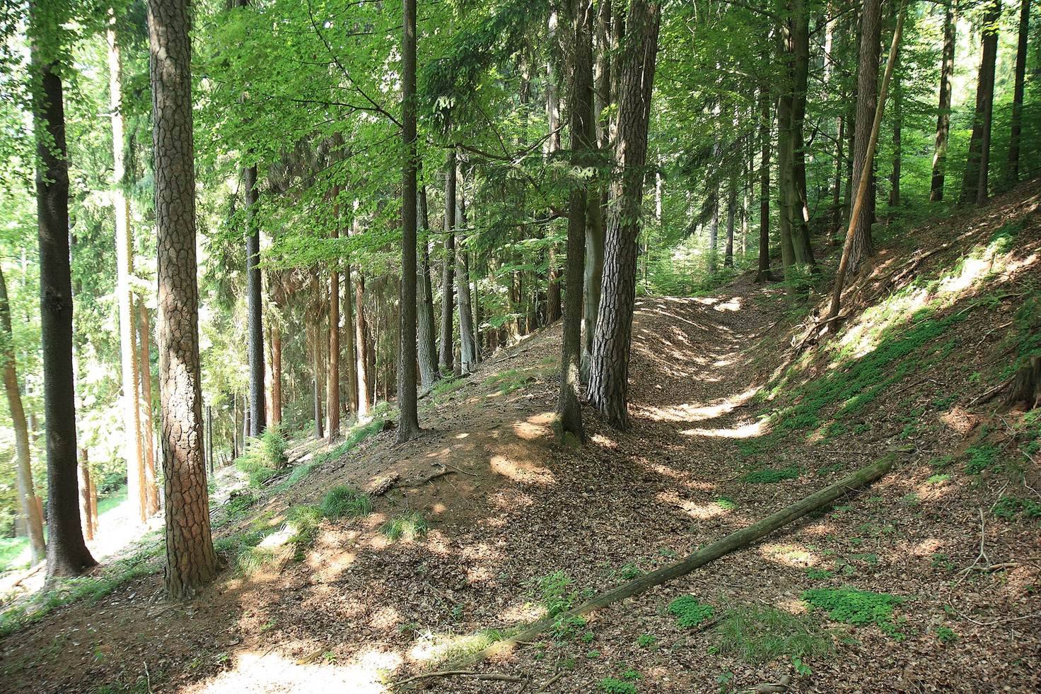
The castle occupies the summit of Alter Rothenberg, about 505 metres above sea level, at the southern end of a small north–south ridge. The hill rises about 150 metres above the Röttenbach valley to the west and the Schaittach valley to the east. The complex is about 220 metres long and up to 100 metres wide, divided into an outer ward and a main ward of roughly equal size. A shared ditch encircles the wards, with a partial outer bank. Dense woodland now covers the site.
Outer ward
The outer ward probably occupied the less steep western side of the summit. Its roughly trapezoidal plateau measures about 100 by 80 metres. An eroded protective ditch remains visible on the south, while a terrace on the north suggests that the ditch continued along that side. The ditch separating the outer ward from the main ward marks its eastern edge, and the entrance probably lay to the south. A small rectangular mound, about 5 by 3 metres, stands beside the dividing ditch.
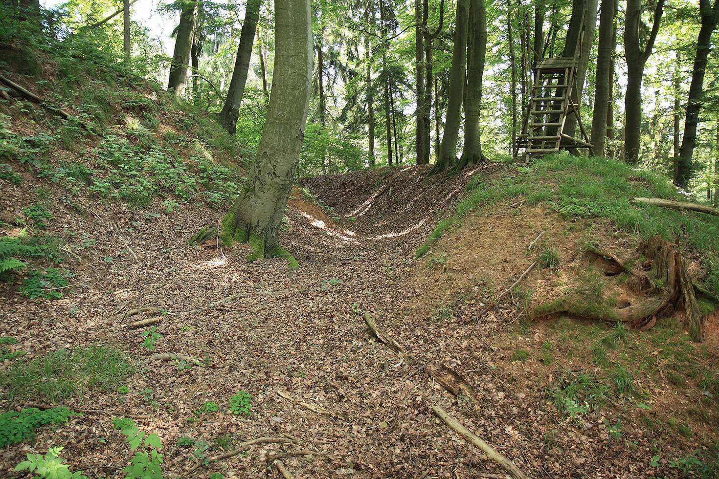
Dividing ditch
A straight ditch runs north to south between the two wards. It is about 6 metres deep and 10 to 12 metres wide at the top. At either end, its bottom remains as much as 4 metres wide, while a landslide has narrowed the middle. Large spoil mounds survive at the eastern end and, especially, at the northern end. The northern mound projects about 20 metres from the steep slope before dropping sharply toward the valley.
Main ward
The main ward probably occupied the more defensible eastern part of the summit. Its irregularly oval surface, marked by small hollows and earth mounds, measures up to 100 metres from north to south and about 80 metres across. The dividing ditch protects its western side; a curved ring ditch and outer bank enclose the other three sides. The ring ditch is 4 to 8 metres wide and 1 to 3 metres deep, with forest tracks crossing it. Along the western edge, beside the dividing ditch, an earth bank measures about 30 metres long, 1 metre high, and 5 metres wide. The entrance probably crossed the dividing ditch by a bridge.
Building traces
Excavation revealed slight foundation traces. The excavators inferred that the buildings were probably timber, perhaps resting on stone foundations. Sections through the defensive banks revealed a two-tier earthen breastwork along the inner side of the bank.
Geology and place-names
The hill is formed of reddish iron-rich sandstone of Jurassic age, from which the name Rothenberg, formerly also spelled Rotenberg, derives. Reisberg comes from a Middle High German word for branch, twig, or brushwood, describing a hill covered in scrub or coppice. The castle farmstead may have stood at Lochhof, about 640 metres south-southeast of the site.