Burgruine Dreienburg: A Medieval Spur Castle in Germany
Site at a Glance
- Rating
- 4.1
- Popularity
- Very Low
- Country
- Germany
- Primary era
- Medieval
- Eras represented
- Medieval
- Civilizations
- Holy Roman Empire
- Site type
- Military
- Remains
- Castle
On this page8 sections
History
Burgruine Dreienburg is a medieval spur castle in Germany, located in the municipality of Friedewald in Hesse. Its construction date is uncertain, but the castle was probably commissioned by Hersfeld Abbey, a powerful medieval ecclesiastical territory centered on the abbey of Hersfeld, as a defensive stronghold against Hesse. The site is also popularly known as Alter Keller.
Medieval Lords and Hersfeld Abbey
The castle’s first indirect documentary reference dates to 1257, when Hertwig von Drigenberg was named as its lord. Another lord, Wolprat de Drigenberck, was recorded in 1296. These references connect the site with the Drigenberg family during the medieval period, although they do not establish the date when the castle itself was built.
Dreienburg may also have been associated with the “watchtower at Lautenhausen” mentioned in 1428 in a boundary description between the Hessian Amt of Friedewald, a historical administrative district, and the territory of Hersfeld Abbey. The identification of that watchtower with Dreienburg remains uncertain.
Desertion and Later References
The first explicit reference to Dreienburg by name appears in 1579, when the Friedewald land register described the place as a deserted settlement and stated that a castle had formerly stood there. A 1592 map by Gerardus Mercator, a sixteenth-century cartographer, marked the castle as a ruin. The ruin was mentioned for the last time in 1642.
Burgruine Dreienburg is designated as a cultural monument, preserving the remains of a site whose medieval defensive role was later followed by abandonment and ruin.
Remains
Setting and Layout
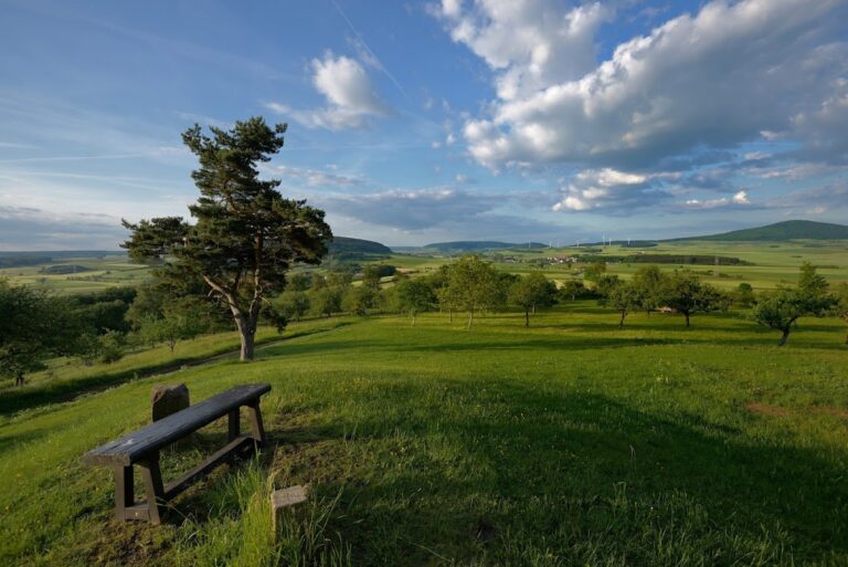
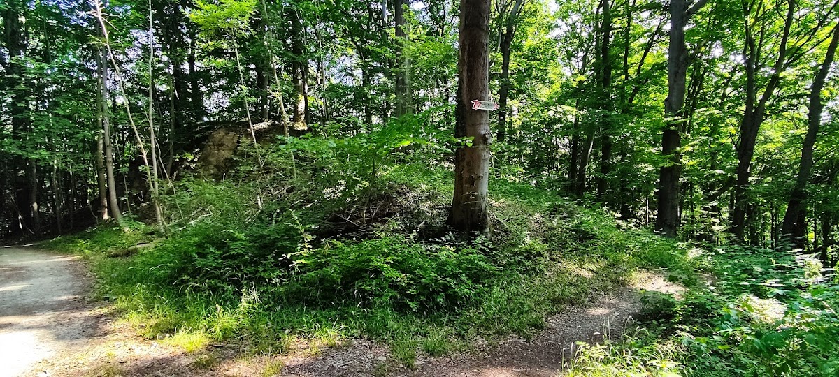
The ruin stands at approximately 441 metres above sea level on a steeply descending spur projecting eastward into the upper valley of the Stärkelsbach, a western tributary of the Werra. It occupies the southeastern part of the Dreienberg, on the eastern slope of the 515-metre Linsenkuppe, while the Dreienberg reaches about 525 metres. The site lies on the boundary between Friedewald and its district of Lautenhausen, which is northeast of the ruin and approximately 105 metres lower.
The position overlooks the Werra Valley and the Kuppenrhön, the rounded-hill subregion of the Rhön uplands. Trees now partly obstruct the view, although Burg Landeck remains among the visible surrounding landmarks. The castle area was approached originally from the southeast, and a depression at its eastern end indicates the location of another building.
Structures and Defenses
Residential Tower
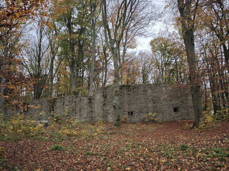
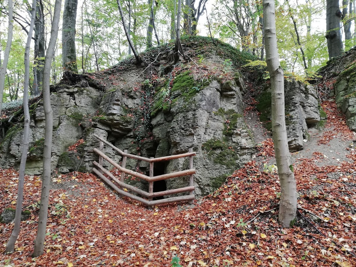
The surviving masonry includes parts of a residential tower with a square ground plan measuring 8.5 metres on each side. Sections of its foundation walls were built from bossed ashlar, carefully shaped stone blocks with deliberately rough, projecting central faces. The tower remains were exposed in 1901 and again during unauthorized excavations in 1973.
Ditches and Outer Area
The outer defenses included a neck ditch, a ditch cut across the landward side of a spur, together with an external bank. A presumed outer bailey to the east was separated from the main castle by a cross ditch. Farther east, another ditch suggests either a further subdivision of the castle area or its eastern boundary.
Nearby sites