Bramber Castle: A Norman Motte-and-Bailey Fortress in England


Site at a Glance
- Rating
- 4.5
- Popularity
- Low
- Country
- United Kingdom
- Primary era
- Medieval
- External website
- Open
- Eras represented
- Medieval, Early Modern
- Civilizations
- English, Norman
- Site type
- Military
- Remains
- Castle
On this page15 sections
History
Bramber Castle is a Norman motte-and-bailey fortress in the United Kingdom, established around 1070 and developed mainly between 1073 and 1130. A motte-and-bailey castle combined a raised earth mound, usually carrying a tower, with an enclosed courtyard for buildings and defensive works. William de Braose, 1st Lord of Bramber, commissioned the castle around 1075.
A Norman administrative centre
The castle became the defensive and administrative centre of the newly created Rape of Bramber, one of six major Sussex divisions established after the Norman Conquest. A rape was a medieval administrative territory generally organised around a castle and integrated into the county’s feudal and military system. Bramber also served as the caput, or administrative centre, of the extensive feudal Barony of Bramber. From its hilltop position, the fortress controlled the estuary of the River Adur.
The Braose family, a Norman aristocratic dynasty whose origins lay in Falaise, held the castle and the barony. William de Braose was the first lord associated with Bramber, and the fortress remained the principal seat of his family’s authority in the area.
King John and the baronial revolt
King John confiscated Bramber Castle in 1208 and ordered repairs. During the First Barons’ War, the conflict between John and rebellious English barons that culminated in Magna Carta in 1215, he instructed that material from Knepp Castle, another medieval Sussex fortress, be used to strengthen Bramber. The king’s seizure of the castle and his harsh treatment of William de Braose contributed to the revolt that led to the granting of Magna Carta. The castle was later returned to the Braose family during the reign of Henry III.
An outer ditch was added around 1209, creating a further defensive circuit around the hill. The ditch later contributed to the failure of much of the original curtain wall, a defensive enclosing wall, during the early sixteenth century. A major subsidence during the sixteenth century left the castle in ruins, and masonry was subsequently reused in local roads, the bridge, and other buildings in the village.
From the Mowbrays to abandonment
The male line of the Braose family ended in 1326, after which Bramber passed to the Mowbrays, another major English noble family. The castle continued to function as an administrative centre, but the Mowbrays did not live there. By the 1550s it was known as “the late castle” and was being used for grazing, indicating that its residential and defensive functions had declined.
Civil war, preservation, and investigation
During the First English Civil War, Bramber was associated with a Parliamentary garrison commanded by James Temple and Simon Lentner. In December 1643, a Royalist force unsuccessfully tried to secure the bridge over the River Adur. It remains uncertain whether the castle itself was occupied. A tradition that the neighbouring church served as a gun position is unsupported by evidence.
The National Trust acquired the ruins and their 12 acres of land in 1945, and the site is now owned and managed by English Heritage. Archaeological excavation in 1966 and 1967, a minor survey in 1987, and excavation of part of the western curtain wall in 1988 clarified the castle’s construction phases and revealed additional structures. Two Second World War pillboxes or casemates were installed on the site and later removed. Bramber Castle has held Grade I listed status, recognising its special historic and architectural interest, since 15 March 1955.
Remains
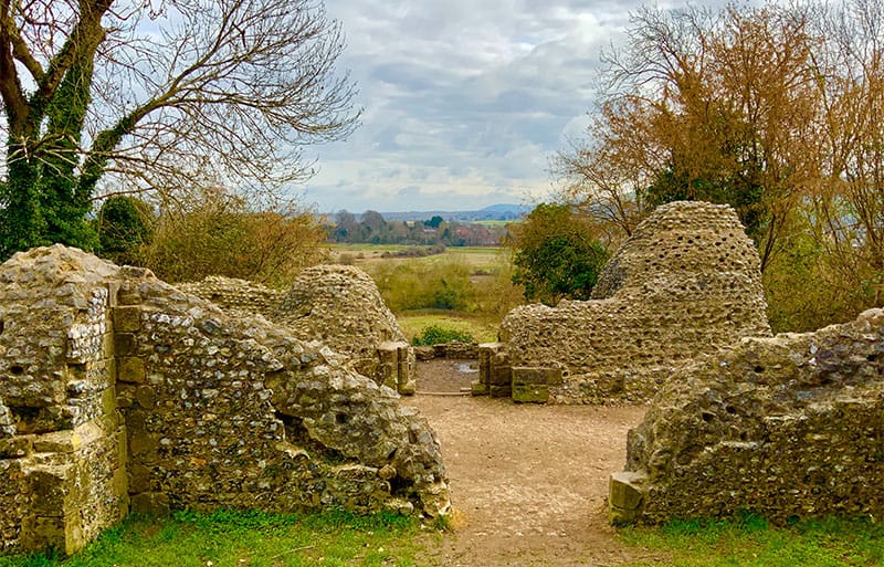
Bramber Castle occupies a substantial hilltop enclosure overlooking the River Adur near Bramber and Steyning. The summit measures approximately 170 metres from north to south and 85 metres from east to west. Its surviving remains combine an earthen motte, fragments of enclosing walls, a nearly complete medieval tower, and buried or exposed foundations constructed from stone and flint.
Earthworks and defensive enclosure
The motte and ditches
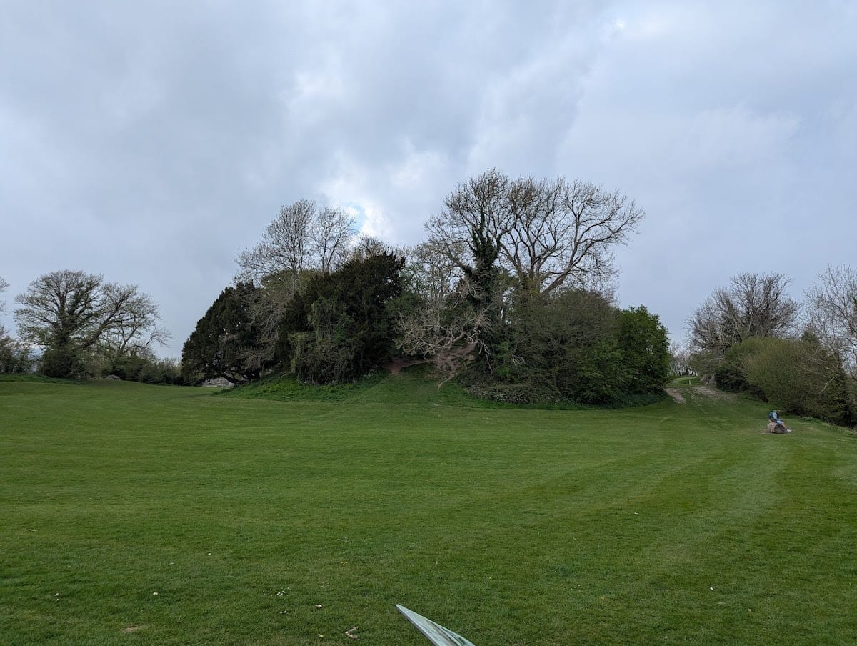
The original motte was formed by raising marl, a clay-rich earth containing calcium carbonate, about 9 to 10 metres above the hilltop. The material came from a ditch approximately 15 to 17 metres wide and up to 4 metres deep. The motte survives as an earthen mound north of the gatehouse. Its original ditch was later filled, while a larger outer ditch was cut around the hill. In places, this later ditch descended about 25 metres below the summit, and an external bank or dam strengthened the defences.
The curtain wall
A wall or palisade enclosed the hilltop, with a stone gatehouse guarding the only entrance on the southern side. The enclosing wall was later renewed or replaced in stone. A western section survives in places to approximately 3 metres high. Excavation in 1988 suggested that this upper rebuilding may belong to the fourteenth century and may have been constructed over an earlier wall dating from the early twelfth century.
Gatehouse and entrance
The watchtower
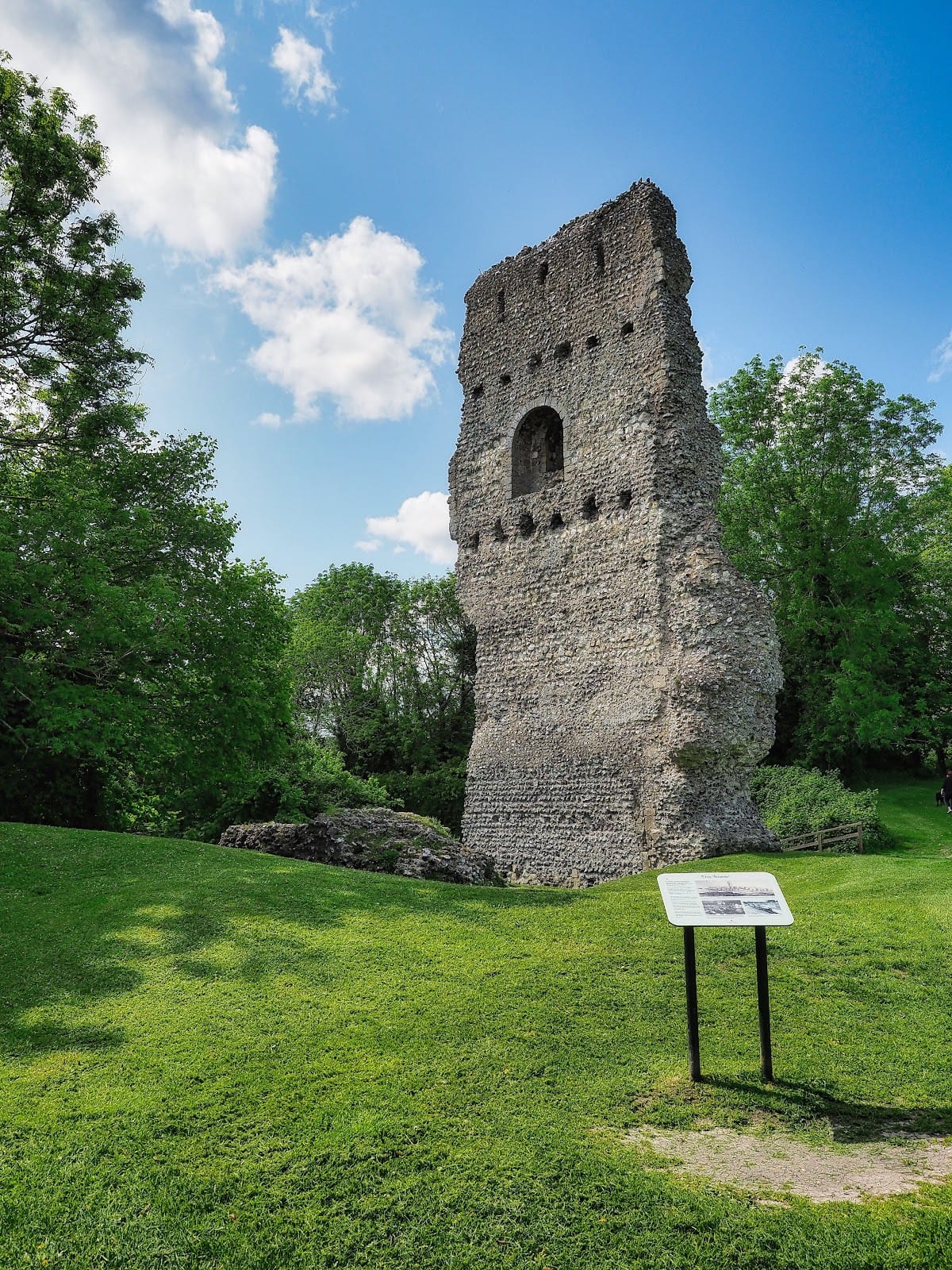
The original gatehouse was soon replaced or transformed into a three-storey stone watchtower. In the twelfth century, the structure appears to have been converted into a single tower. About 3 metres was added to its height, and its entrances were blocked. The remaining tower stands almost to its full height, retaining a visible window and holes for floor joists. Its masonry includes identifiable dressed entrance pillars, while much of the surrounding walling consists of rough-stone infill.
The bridge and entrance foundations
Foundations of the southern entrance bridge survive beneath the existing structure. Excavation also identified a possible timber structure dating from the fifteenth or sixteenth century. Foundations beyond the tower are thought to represent the castle’s living quarters and a guardhouse.
Domestic buildings and associated church
The northern buildings
The area north of the gatehouse was built with clay and chalk and contained a series of structures. A kitchen stood to the west. In the fourteenth century, the area was used as a dump, while buildings east of the motte may have become the principal accommodation. The lower courses of these structures remain visible.
St Nicholas’s Church
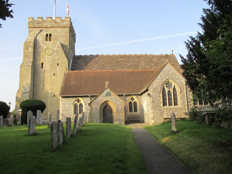
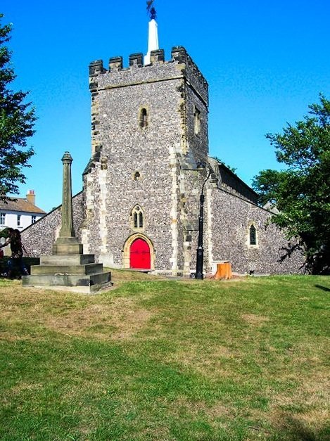
St Nicholas’s Church stands beside the entrance. It was originally built for the castle’s inhabitants and remains in use, preserving a direct connection between the fortress and the community it served.