Blaundus Ancient City: A Hellenistic Macedonian and Roman Frontier Settlement in Türkiye

Site at a Glance
- Rating
- 4.5
- Popularity
- Medium
- Country
- Turkey
- Primary era
- Classical
- External website
- Open
- Eras represented
- Classical, Medieval
- Civilizations
- Ancient Greek, Byzantine, Roman
- Site type
- City
On this page14 sections
History
Blaundus Ancient City in Türkiye was founded by Macedonian settlers during the Hellenistic period, with a foundation date of 334 BC, although the settlement may have been established in the late fourth or third century BC. Built in Lydia near the border with Phrygia, the city belonged to the political world created after Alexander the Great’s conquests, when Greek institutions and culture spread across the eastern Mediterranean and western Asia. Its strategic position later made it a frontier and military center under Pergamene and Roman rule.
Earlier settlement and Hellenistic foundation
Excavations have identified cylinder seals, small engraved objects rolled across wet clay to leave administrative impressions, indicating that people occupied the site at the beginning of the second millennium BC during the period of Assyrian trade colonies in Anatolia. This early settlement predates the Hellenistic city. Blaundus was later founded by Macedonians, and Macedonian mercenaries were apparently settled there. After Alexander’s death, the surrounding region passed to his general Antigonos I Monophthalmos, one of the successors who divided Alexander’s empire.
The city was associated with the Seleucid Empire, the Hellenistic kingdom established by Seleucus I, and probably entered the sphere of the Kingdom of Pergamon in the late second century BC. Under Pergamene rule, its location gave it a frontier and military function. The same strategic value continued after the city came under Roman control. At the end of the Roman civil wars, veterans were probably settled at Blaundus, adding another phase to its population and political history.
Roman civic life and changing names
From the Neronian period, the reign of the emperor Nero, until the reign of Maximinus Thrax from AD 235 to 238, Blaundus again issued its own coins. The city’s name appears as Mlaundus on Greek coins and as Blaundus in a Roman-period Greek inscription. The form Blaundos was clarified in 1845, when W. J. Hamilton found an inscription in the Ulubey area referring to the “Macedonians of Blaundus.”
Episcopal center and late transformation
During the Roman and Byzantine periods, Blaundus was an episcopal see, a bishop’s jurisdiction, subordinate to the metropolitan archbishopric of Sardes within the Patriarchate of Constantinople. The diocese also appeared under the names Blandus and Balandus. In the fifth century it was connected with the episcopal center at Sebaste.
Three bishops of Blaundus are historically attested. Phoebus attended the Council of Seleucia in about 359, an assembly of Christian bishops, and later signed an orthodox formula drafted by Acacius of Caesarea after distancing himself from colleagues associated with Arian theology. He was subsequently deposed. Elijah, also called Helias, attended the Council of Chalcedon in 451. Onesiphorus signed a letter from the bishops of Lydia to Emperor Leo I in about 458, after the killing of Proterius, the Christian patriarch of Alexandria.
In the fourth century, Blaundus received an extensive fortification system that enclosed approximately half of the imperial-period city. The smaller defended area did not necessarily reflect economic decline, since elaborate houses remained within the enclosure. The settlement changed substantially in the sixth century, when domestic construction became more subdivided and earlier buildings were dismantled for the reuse of their materials. The last historical records date from the twelfth century, after which Blaundus was abandoned.
Archaeological investigation
A survey carried out from 2000 to 2002 by the Istanbul branch of the German Archaeological Institute, directed by Axel Filges, clarified aspects of the city’s fortifications and later development. Blaundus is now an archaeological site administered by the Uşak Museum Directorate within Sülümenli in Ulubey District, Uşak Province.
Remains
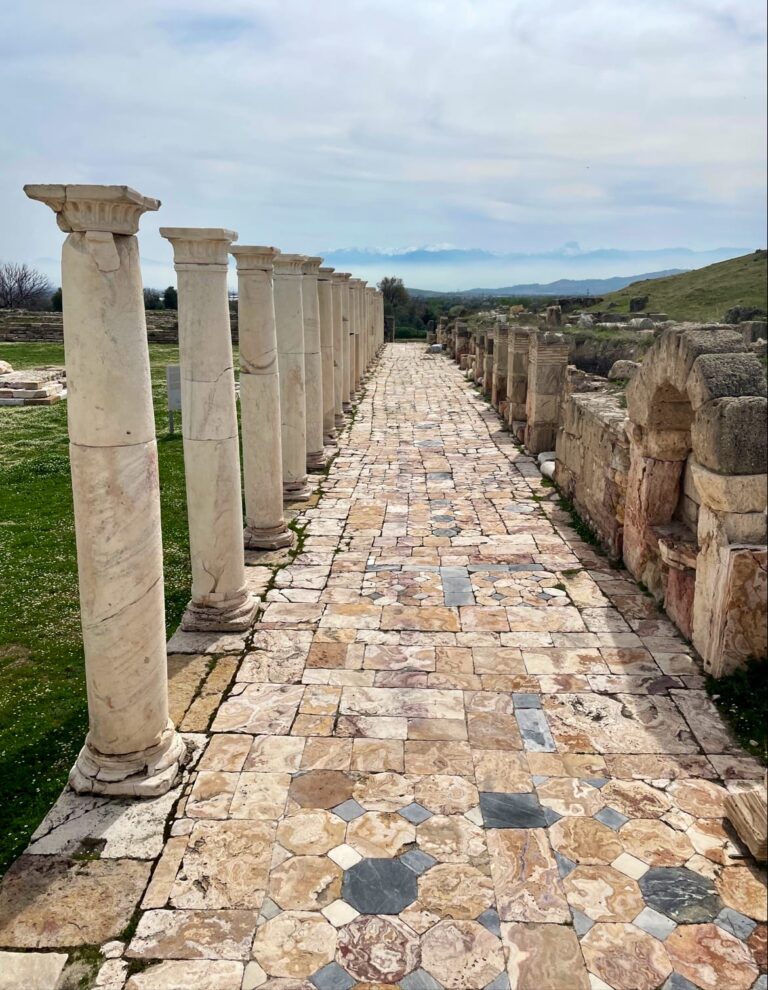
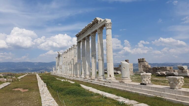
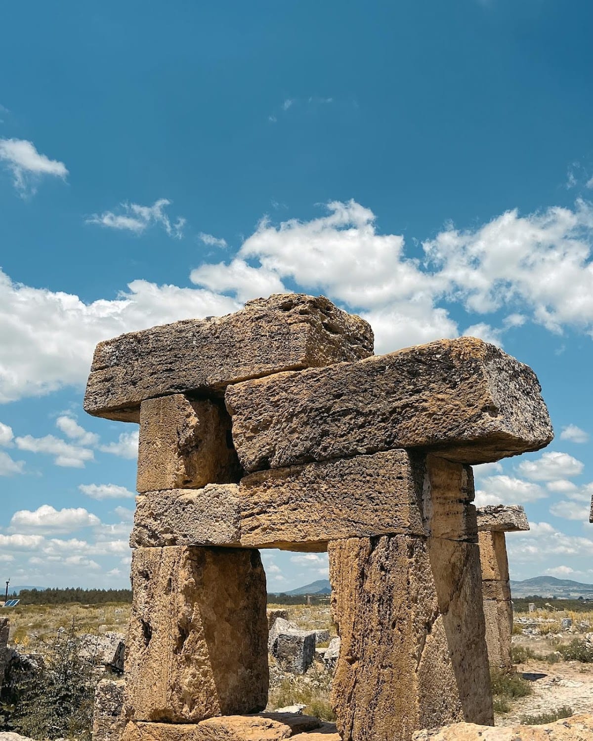
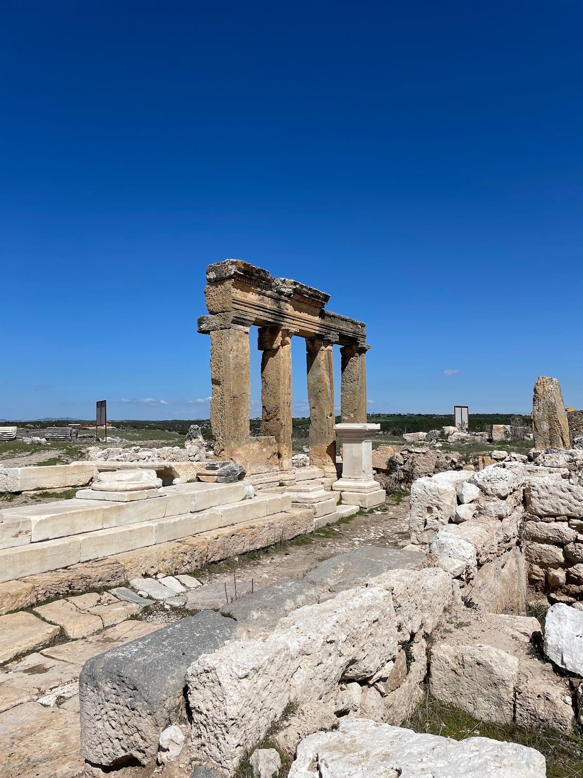
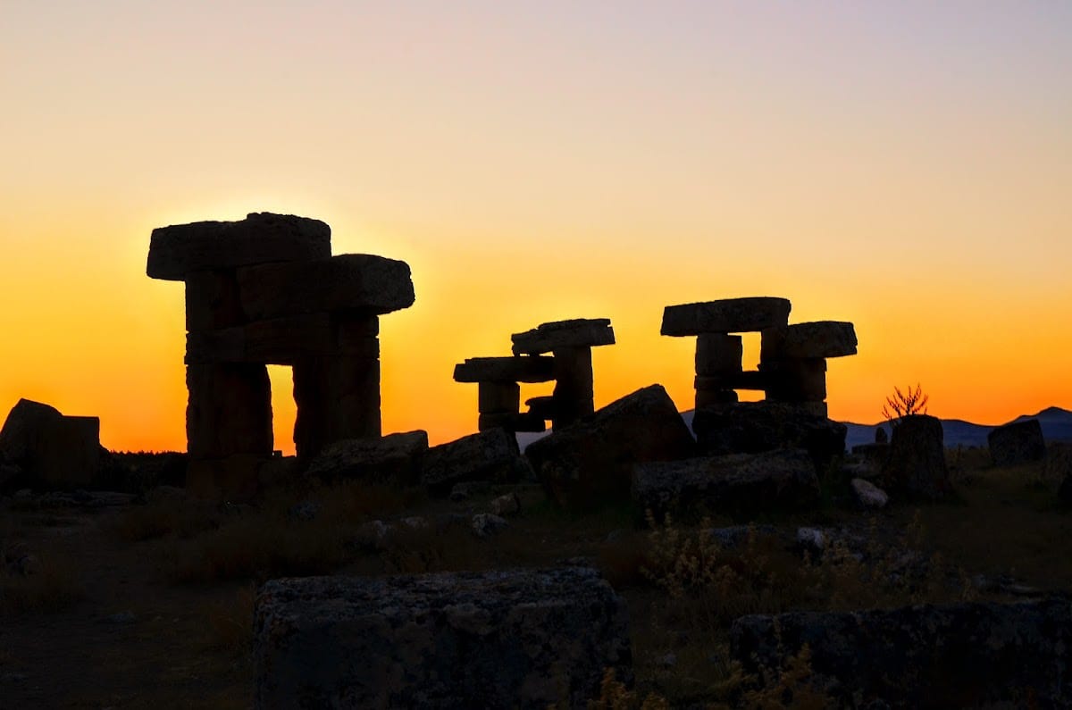
Blaundus occupies a level promontory forming a peninsula, with deep, steep-sided valleys on three sides. The surrounding canyon reaches approximately 100 metres in depth, and a stream running through it supplied the city’s water. Access was provided from the north, where the natural setting was reinforced by a fortified entrance. The surviving remains include defensive walls, a city gate, a theatre, a stadium, temples, individual buildings, a stone half-timbered building, arches, burial areas, and rock-cut tombs.
Fortifications and northern entrance
City walls
The fourth-century fortification system enclosed approximately half of the earlier imperial-period settlement. Its walls shaped the reduced late defensive area and formed part of the city’s response to its strategic frontier position. The fortifications remain among the principal elements used to understand Blaundus’s changing urban extent.
Northern gate
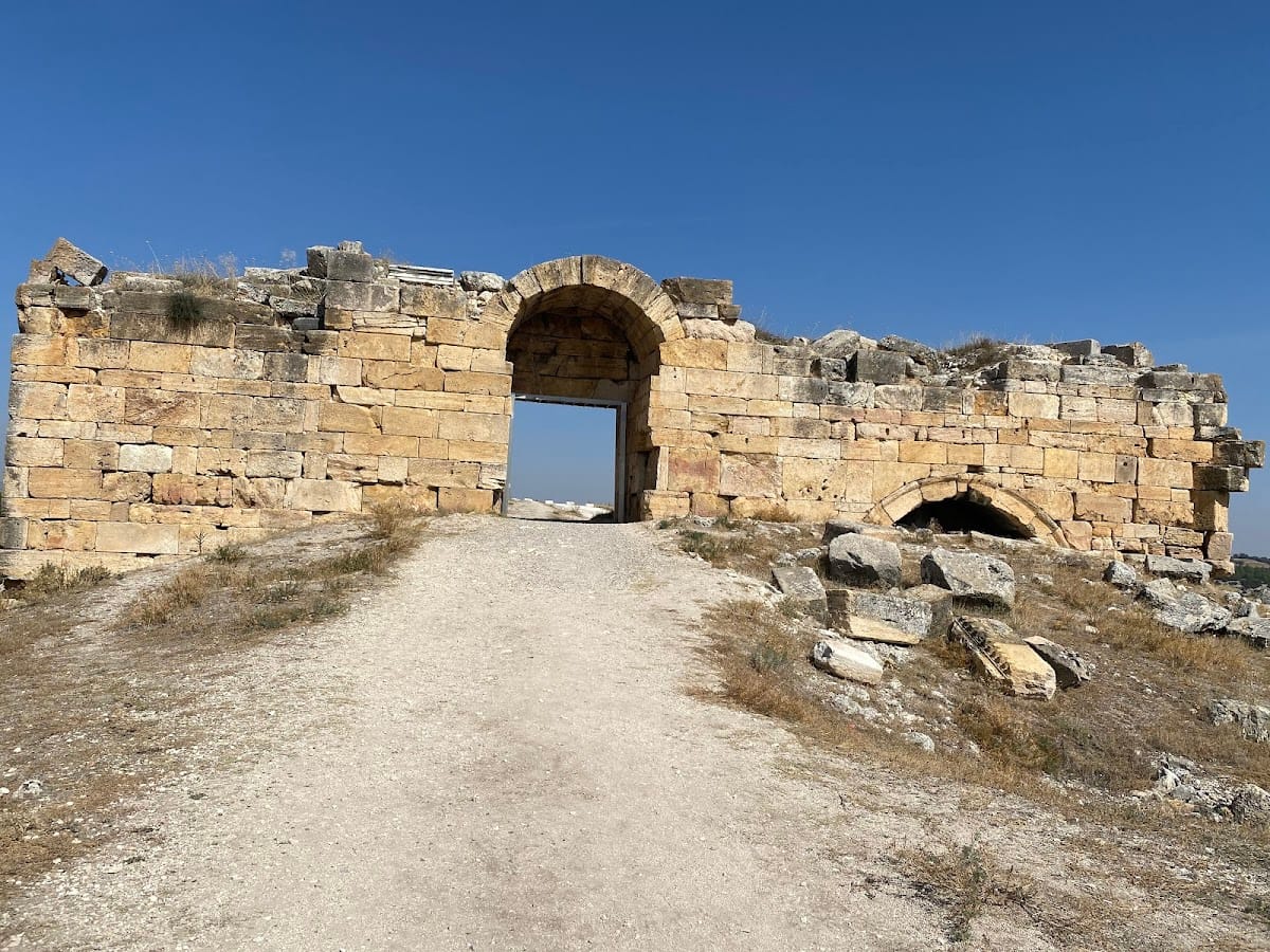
The northern entrance consisted of two large towers connected by an arched superstructure. The towers survive below the level of the entrance arch, while the arch itself has collapsed. Fourteen arches stood at the site in total, and one remains standing.
Public and civic buildings
Theatre
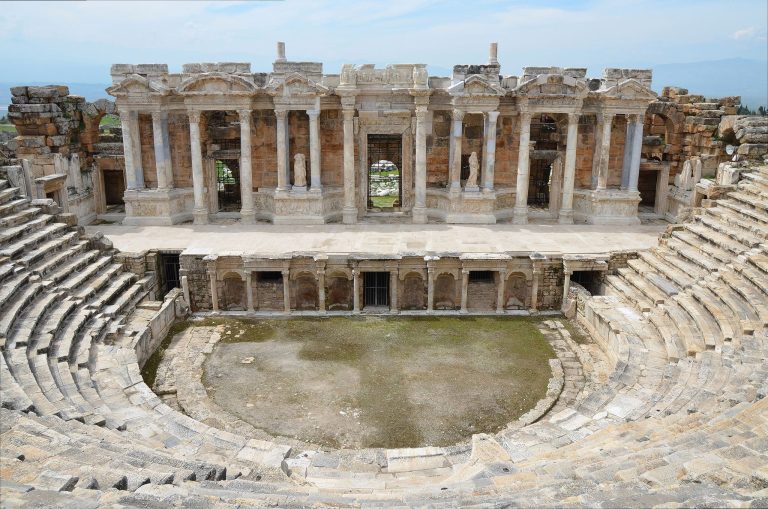
Outside the city walls, a theatre was cut into the slope. A small section of its seating rows survives, preserving the position of this public building in relation to the fortified settlement.
Temples and other structures
The remains include a temple built in the Ionic order, a classical Greek architectural system identified by spiral scrolls on its capitals. Several other temple complexes and structures remain recognizable among the ruins. A stadium, individual buildings, and a stone half-timbered building also form part of the surviving urban remains.
Burial areas and water supply
A necropolis lies north of the city, while rock-cut tombs occupy the valley to the east. Their positions extend the archaeological setting beyond the enclosed urban area. Water reached the settlement from a stream flowing through the surrounding canyon, linking the city’s natural topography with its practical infrastructure.
Roman and Byzantine-period finds
In 2019, excavation on the main street uncovered a Roman-period bronze medallion embedded in the fill of a Byzantine-period workshop. It dates to about AD 163 to 165, during the joint reign of Marcus Aurelius and Lucius Verus. The obverse depicts Faustina II, Marcus Aurelius’s wife. The reverse shows the two emperors clasping hands, a motif associated with dynastic harmony, and carries an inscription naming Attalianos, a local magistrate. The medallion came from the nearby Lydian city of Silandus and illustrates the movement and reuse of objects within the later settlement.