Bennokanzel: An Early Medieval Fortification on the Elbe
Site at a Glance
- Popularity
- Very Low
- Country
- Germany
- Primary era
- Medieval
- Eras represented
- Medieval
- Civilizations
- Holy Roman Empire
- Site type
- Military
- Remains
- Castle
On this page7 sections
History
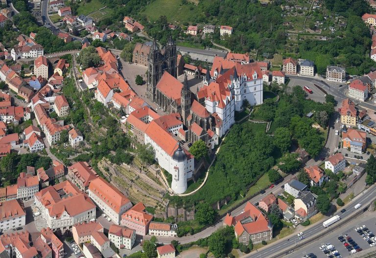
The Bennokanzel is the remains of an early medieval fortification on a west-pointing spur at Proschwitz, on the Elbe’s northeastern bank in Germany, opposite Albrechtsburg in Meißen. It was used mainly during the 11th century and probably into the first decades of the 12th; construction in the later 10th century is possible. The site formed part of a broader network of strongholds along the river’s eastern bank.
Fortification and regional setting
From the 10th century onward, fortifications were established east of the Elbe after Slavic territories between the Saale and Elbe were conquered and incorporated into the East Frankish realm, a kingdom formed from the eastern part of the Frankish Empire. These sites helped secure and administer the region through the Burgward system, a territorial district organized around a castle for local defense and administration. Together, the strongholds indicate that East Frankish authority extended to both banks of the Elbe, rather than the river being crossed only on rare occasions.
The Bennokanzel was associated with a fortification about a kilometer downstream that has since vanished, and with another stronghold near the vineyard at Zadel. Hamlet-like settlements existed alongside the fortifications at the Bennokanzel and Zadel. Other known high-medieval sites east of the Elbe include the fortification at Löbsal, almost certainly the long-sought castle of Liubusua, the site at Leckwitz, and the Sacrificial Hill at Stauda. A castle is also suspected on Fürstenberg, the church hill of Zscheila. The name Bennokanzel probably refers to Benno, Bishop of Meißen, who was active in the late 11th and early 12th centuries and was later venerated as a saint; the name does not establish a direct connection between him and the fortification.
Surveying engineer Thomas Gerlach recognized the terrain features in 1984. Field surveys in later decades recovered pottery from the surviving interior and northern slope, including eight pieces that allowed more precise dating and were first presented in 2008. Quarrying on the southern side during the first half of the 20th century and construction of the Elbtalstraße in 1937 altered the spur.
Remains
The fortification occupies a west-pointing spur extending from Bocksberg, a massive granite outcrop 170.3 metres high. The Knorrgrund ravine cuts steeply along its northern side, while the ground falls sharply toward the Elbe to the south.
Defensive earthworks and interior
Rock-cut ditch
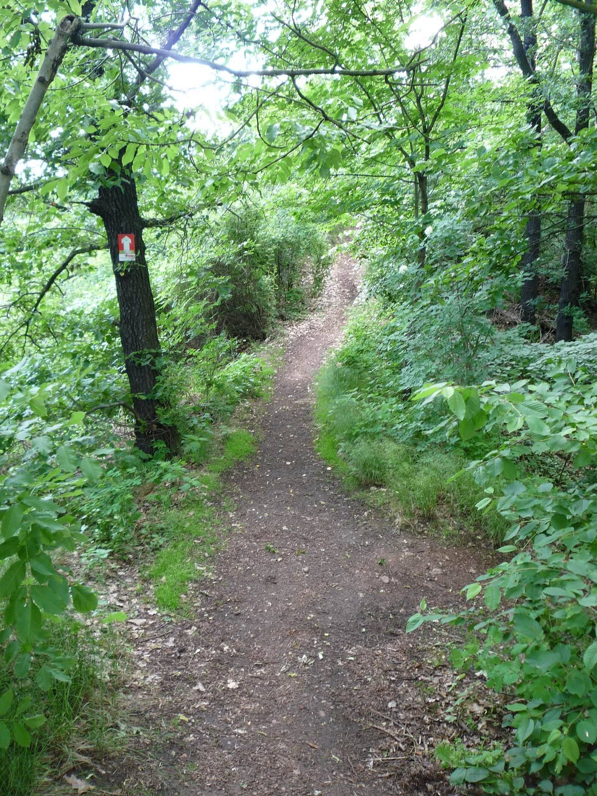
At the spur’s eastern end, where it meets a broad plateau, a natural break in the terrain was used to create a wide ditch cut into the rock. The ditch was once substantially deeper. It is now partly filled, with a path crossing on an earth embankment supported by dry-stone walls.
Rampart and protected interior
A rock outcrop immediately west of the ditch may have been raised with a rampart. Beyond it lay the elongated, protected interior. This area was originally much larger, and a narrow strip survives along the northern side.
Archaeological finds
Just over 60 finds have been recovered. Several are prehistoric pieces, probably from the Bronze Age, while others include unusual early-historic pottery fragments from vessel bodies. Eight finds can be dated more closely. Most of the pottery belongs to, or resembles examples assigned to, the Leipzig Group, an archaeological classification of pottery. Its decoration includes multiple steeply left-slanting wavy lines, comb-stamp impressions, and sharply cut parallel grooves around vessel bodies. These patterns are characteristic of late Slavic pottery, associated with a later phase of Slavic material culture.