Arsuf: An Ancient Coastal City and Crusader Fortress in Israel
Site at a Glance
- Popularity
- High
- Country
- Israel
- Primary era
- Medieval
- Eras represented
- Classical, Medieval
- Civilizations
- Achaemenid, Byzantine, Crusader, Kingdom of Jerusalem, Mamluk, Phoenician, Roman
- Site type
- City
On this page22 sections
History
Phoenician origins and Hellenistic port
Arsuf, in Herzliya, Israel, is the site of a coastal city founded by Phoenicians during the Persian period, when the region was part of the Achaemenid Persian Empire. The Phoenicians were maritime people organized in city-states such as Sidon and Tyre. Arsuf initially lay within Sidon’s sphere of influence. Its residents made purple dye from sea snails and traded with communities around the Aegean and in Greece. The idea that nearby Tel Michal and Arsuf arose amid competition between Sidon and Tyre for settlements in southern Phoenicia remains a hypothesis.
By the middle of the fourth century BCE, after Tel Michal had declined, Apollonia, as the city was then known, had probably become a leading settlement and harbor in the southern Sharon Plain. It appears in the Periplus of Pseudo-Scylax, an ancient Greek account of coastal geography. Under the Seleucids, a dynasty that followed Alexander the Great’s conquests, the port served ships traveling between Jaffa and Dor. The Greek name Apollonia may reflect an identification of the local West Semitic deity Resheph with Apollo, a Greek god, though the connection is not certain.
Roman and Byzantine city
In 57 BCE, the Roman proconsul, a provincial governor, Gabinius found the city in ruins and ordered its rebuilding. Under Roman rule, Apollonia developed into a commercial and industrial center between the Poleg and Yarkon rivers, on the coastal route linking Jaffa and Caesarea. It traded by sea with Italy and North Africa. An earthquake partly destroyed the city in 113 or 114 CE, but it recovered quickly. Pliny, Ptolemy, Josephus, and Appian all mention Apollonia. The Tabula Peutingeriana, a medieval copy of a Roman road map, places it on the coastal road 22 miles from Caesarea. The city was a medium-sized coastal town rather than a provincial center, and it issued no coins.
In the Byzantine period, the city was renamed Sozusa, meaning “city of the Saviour,” and became a prominent Christian center. The Byzantine Empire was the eastern continuation of the Roman Empire. By the fifth and sixth centuries, Sozusa was the Sharon region’s largest settlement after Caesarea. It had Christian and substantial Samaritan communities; Samaritans follow a religious tradition distinct from Judaism. The city was an episcopal see, or a bishop’s jurisdiction, subordinate to Caesarea. During the Byzantine-Sasanian War, a conflict between the Byzantine and Persian Sasanian empires, Sozusa surrendered to the Sasanian commander Shahrbaraz in 614 and remained under Sasanian control until near the war’s end.
Early Islamic rule
Muslim forces took the city in 640, and the Semitic name Arsuf came into use. Under the Umayyads, one of the successive Muslim caliphate dynasties, the settlement was fortified against repeated attacks by Byzantine fleets. Its urban area became smaller, while markets and pottery production formed part of the local economy. An administrative seal from this period identifies Arsuf as subordinate to the district of Caesarea and provides the earliest known Arabic inscription of the city’s name.
In 809, after the death of the Abbasid caliph Harun al-Rashid, a ruler who claimed leadership of the Muslim community, the Samaritan community was violently attacked and its synagogue destroyed.
Crusader and Mamluk rule
Godfrey of Bouillon, a leader of the First Crusade, failed to take Arsuf in 1099, in part because he had no ships. In 1101, Baldwin I, king of Jerusalem, captured the city after a siege by land and sea, with help from a Genoese fleet. The Crusaders called it Arsur, repaired its defenses, and made it the center of the Lordship of Arsur, a territory governed by a lord within the Kingdom of Jerusalem.
Muslim forces recaptured Arsuf in 1187 after the Crusader defeat at Hattin and demolished its fortifications. On 7 September 1191, Richard I of England defeated Saladin, the Muslim ruler who opposed the Crusader states, in the nearby Battle of Arsuf. The Crusaders then regained the city. In 1207, John of Ibelin, Lord of Beirut, became lord of Arsuf through his marriage to Melisende of Arsuf. Their son John inherited the title, followed by his eldest son, Balian.
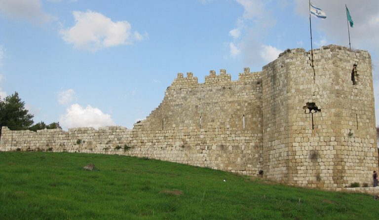
In 1241, Balian built new walls, a large castle, and a harbor. Louis IX, king of France, rebuilt the ramparts in 1251. The Knights Hospitaller, a religious military order active in the Crusader states, took control of the city and fortress in 1261. In March 1265, the Mamluk sultan Baibars captured Arsuf after a 40-day siege. During a defenders’ sortie, Baibars narrowly escaped death in the moat. The inhabitants were killed or enslaved, and the city, walls, and castle were razed to prevent a Crusader return. Arsuf never again regained its urban character.
Later settlement and modern archaeology
Although the ruined city was abandoned, later evidence points to a village at Arsuf. An Ottoman tax register from 1596 lists 22 Muslim families and four bachelors, who paid 2,900 akçe, an Ottoman silver coin, in taxes. One-third of the revenue went to a waqf, a charitable or religious endowment, associated with Hadrat ‘Ali bin ‘Ulaym. A seventeenth-century Franciscan visitor described a village whose residents included Muslims, Jews, and Greeks. This is the only cited evidence of a Jewish community at Arsuf, and a map made in 1799 also marks a village there.
The name Sozusa in Palaestina continued as a titular see of the Latin Church, the western Catholic Church. A titular see is a bishopric retained as a title after it ceases to function as an active diocese. Its last titular bishop, Francis Joseph McSorley, died in 1970, after which the title was no longer assigned.
During the First World War, British soldiers used the ruins and caves as makeshift trenches and shelter. They mounted a machine gun on a castle wall and practiced firing out to sea; ammunition casings and bullets from the war were later recovered at the site. Arsuf became part of the municipality of Herzliya in 1924. Excavations took place in the 1970s and 1990s and became intensive from 1994. Israel Roll and Eitan Ayalon led earlier work, followed by excavations directed by Oren Tal of Tel Aviv University, which were still underway in 2015. Apollonia National Park opened in 2002, bringing the archaeological site under national-park status.
Coastal erosion continues to damage the kurkar cliff and move the shoreline inland. Antiquities Authority surveys attributed part of this change to the construction of Herzliya Marina; the authority worked with the Nature and Parks Authority, Herzliya Municipality, and Tel Aviv University on measures to improve conditions. An explosives plant beside the park operated for decades before closing in 1995. Surveys begun in the late 1990s and completed in 2016–2017 found soil contamination thought to have reached groundwater and the sea, and nearby bathing beaches were closed.
Remains
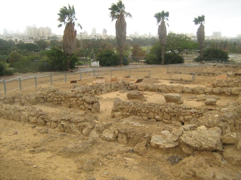
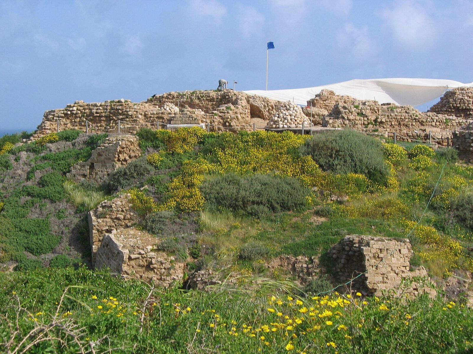
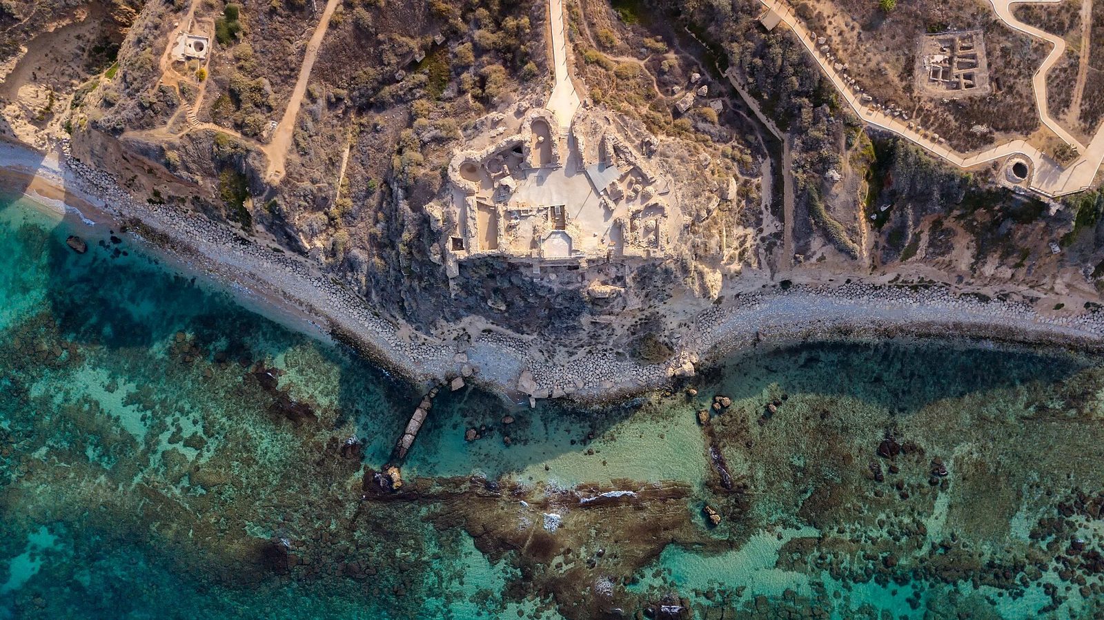
The ruins occupy a coastal ridge of kurkar, a type of coastal sandstone, that ends in a cliff above the Mediterranean Sea. The site lies about five metres above sea level. Its changing urban footprint is reflected in an unwalled Byzantine city of about 280 dunams, followed by an Early Islamic settlement and a medieval walled city each covering about 90 dunams. A dunam is 1,000 square metres.
Urban layout
Byzantine city
The Byzantine settlement covered about 280 dunams and had no enclosing wall. A large church stood within the city. A surviving section of mosaic from the Byzantine period may have come from a Samaritan synagogue.
Early Islamic city
The Early Islamic city occupied about 90 dunams and was enclosed by a wall reinforced with buttresses. Large quantities of pottery, much of it Byzantine and Early Islamic, indicate that the seventh-century settlement extended well beyond its earlier walls. Markets and pottery workshops were part of its developed urban fabric.
Defenses and maritime works
Wall and moat
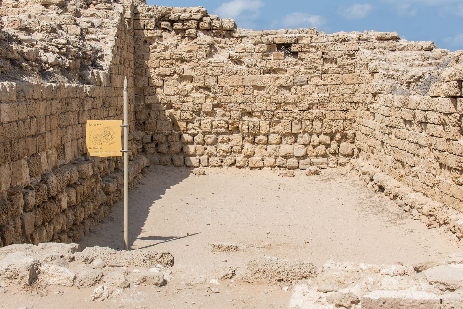
The medieval city occupied about 90 dunams within a defensive wall and a dry moat. The moat was exceptionally broad and elaborate among the region’s fortifications.
Castle
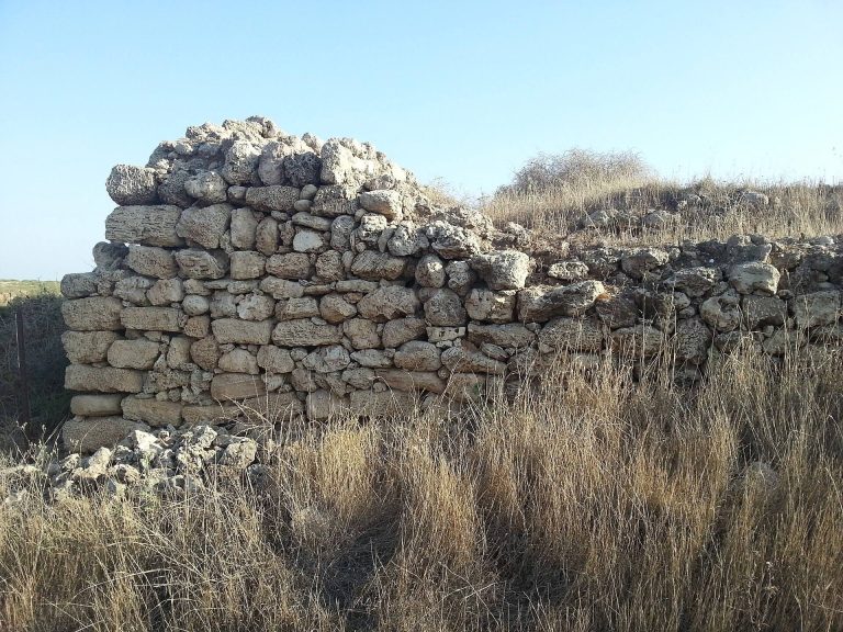
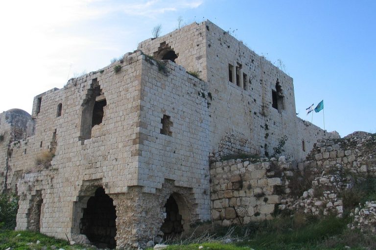
The Crusader castle covered about four dunams and used a double-wall system. Excavations beneath it have exposed subterranean passages thought to include a Mamluk tunnel approaching from the east and a Crusader counter-tunnel dug westward from the castle courtyard.
Coastal anchorage
The Crusader coastal works included built jetties, structures extending into the water to shelter or guide vessels. A sandstone reef protected the sheltered anchorage. An underwater survey characterized this installation as a small anchorage rather than a full harbor.
Excavated features and finds
Castle chapel glass
Fragments of stained glass recovered in the castle chapel area depict figures and part of a monster’s head. The damaged-looking head may have been mounted on the jamb beside the castle entrance.
Siege deposits and coin hoard
A pit associated with the Mamluk siege contained about 1,500 intact eating vessels and numerous bones. Beneath the floor of a castle room, a broken pottery vessel held a hoard of 108 gold coins discovered in mid-2012. Many were Mamluk coins, with some Fatimid and Ayyubid examples; the hoard dates to the thirteenth century. The coins were probably hidden during the Muslim period and buried again during the Crusader period.
Administrative seal
An Umayyad lead administrative seal bears the district of Caesarea on one side and the city of Arsuf on the other. Its inscription preserves the city’s name in Arabic.
Roman villa
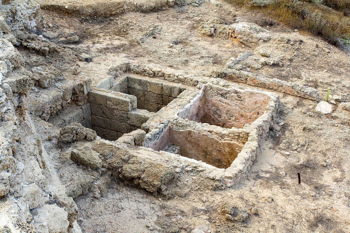
South of the city, excavations uncovered a large coastal villa dating to the first century CE. It probably served as a customs house.
Burial caves
Hundreds of burial caves discovered at Kfar Shmaryahu in 1962 are thought to have served Apollonia’s inhabitants.
Underwater remains
A late-1990s underwater survey mapped remains in the coastal reserve. Changes in water and sand movement later exposed further material, including a vessel and cargo such as basalt millstones and an iron cannon.
Eucalyptus grove
An approximately 28-dunam eucalyptus grove lies east of the national park. Its trees were planted during the British Mandate, the period of British administration in Palestine under a League of Nations mandate, and the grove is included in Herzliya’s conservation plan.