Izbet Sartah: An Early Israelite Settlement near Aphek
Site at a Glance
- Rating
- 4.1
- Popularity
- Very Low
- Country
- Israel
- Primary era
- Iron Age
- Eras represented
- Bronze Age, Iron Age
- Civilizations
- Israelite
- Site type
- Domestic
- Remains
- House
On this page9 sections
History
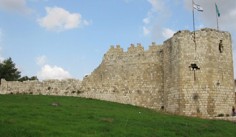
Izbet Sartah is a small early Israelite settlement and archaeological site in Rosh HaAyin, Israel, occupied during the early Iron Age between the thirteenth and tenth centuries BC. It stands near the ancient city of Aphek, at the boundary between the Ephraimite hill country and the coastal plain. The settlement was used for a relatively brief period and passed through three occupation phases before its final early tenth-century BC phase.
Early Settlement and Changing Occupation
The earliest occupation began in the late thirteenth or early twelfth century BC. This phase ended when the settlement was abandoned at the beginning of the eleventh century BC. Occupation resumed in the late eleventh century BC, followed by another interruption, and the site was used again during the first half of the tenth century BC.
The inhabitants probably combined agriculture and animal keeping, and some may have retained a partly nomadic way of life. Israel Finkelstein interpreted the first phase as evidence of a population moving from mobile pastoralism toward settled life. William G. Dever challenged that view, arguing that the inhabitants already had well-developed agricultural methods. The name Izbet Sartah comes from a term for a seasonal settlement used by peasants during ploughing and harvest. It may refer to land owned or cultivated by people from the Arab village of Sarta near Barkan, about 13 kilometres east of Rosh HaAyin.
Excavation and Biblical Association
Excavations carried out from 1975 to 1977 by Moshe Kochavi and Israel Finkelstein of Tel Aviv University, with Moshe Garsiel of Bar-Ilan University, revealed the settlement sequence and remains dating from the tenth century BC and earlier. The site has been proposed as biblical Eben-Ezer, the place near Aphek where the Israelites and Philistines fought, but that identification remains disputed. Another interpretation connects the name with Ezer, described as a prominent member of the tribe of Ephraim who lived in the region.
In the first battle described in 1 Samuel, the Israelites were defeated near Eben-Ezer and lost about 4,000 men. In a second battle, they brought the Ark of the Covenant, the principal sacred chest of ancient Israel, from the sanctuary at Shiloh. They were defeated again, about 30,000 Israelite foot soldiers were killed, and the Ark was captured. The deaths of Eli’s sons, Hophni and Phinehas, and the report of the defeat led to the death of Eli the priest.
The conflict is presented as a possible attempt by communities from the Ephraimite hill country to resist Philistine domination. It may have marked deeper Philistine penetration into the territories of Ephraim and Benjamin and increased Philistine control over Israel. The fighting may also have contributed to the destruction of Shiloh and its sanctuary, conventionally placed in the middle of the eleventh century BC and commonly attributed to the Philistines. A later biblical reference to Eben-Ezer, where Samuel commemorated an Israelite victory with a stone, is probably unrelated to the earlier battlefield.
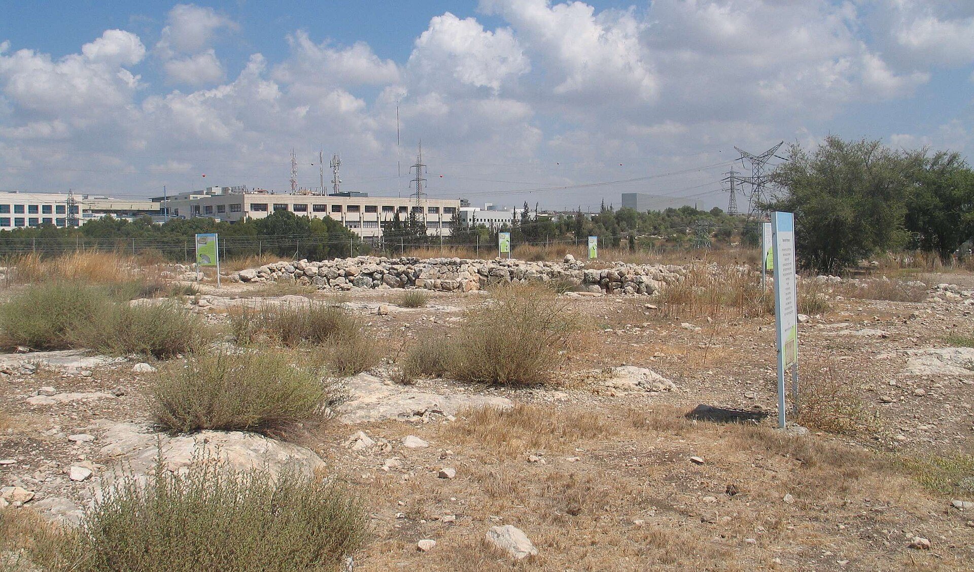
In 2007, pupils from Afek School in Rosh HaAyin worked with the Jewish National Fund to refurbish the site and install new explanatory signs.
Remains
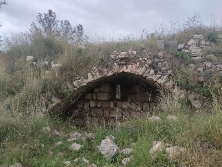
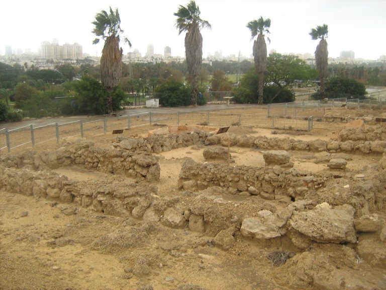
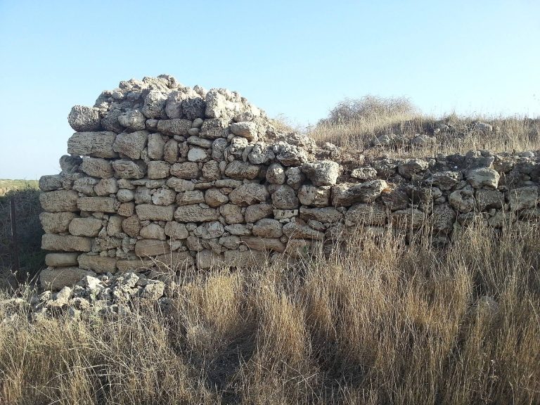
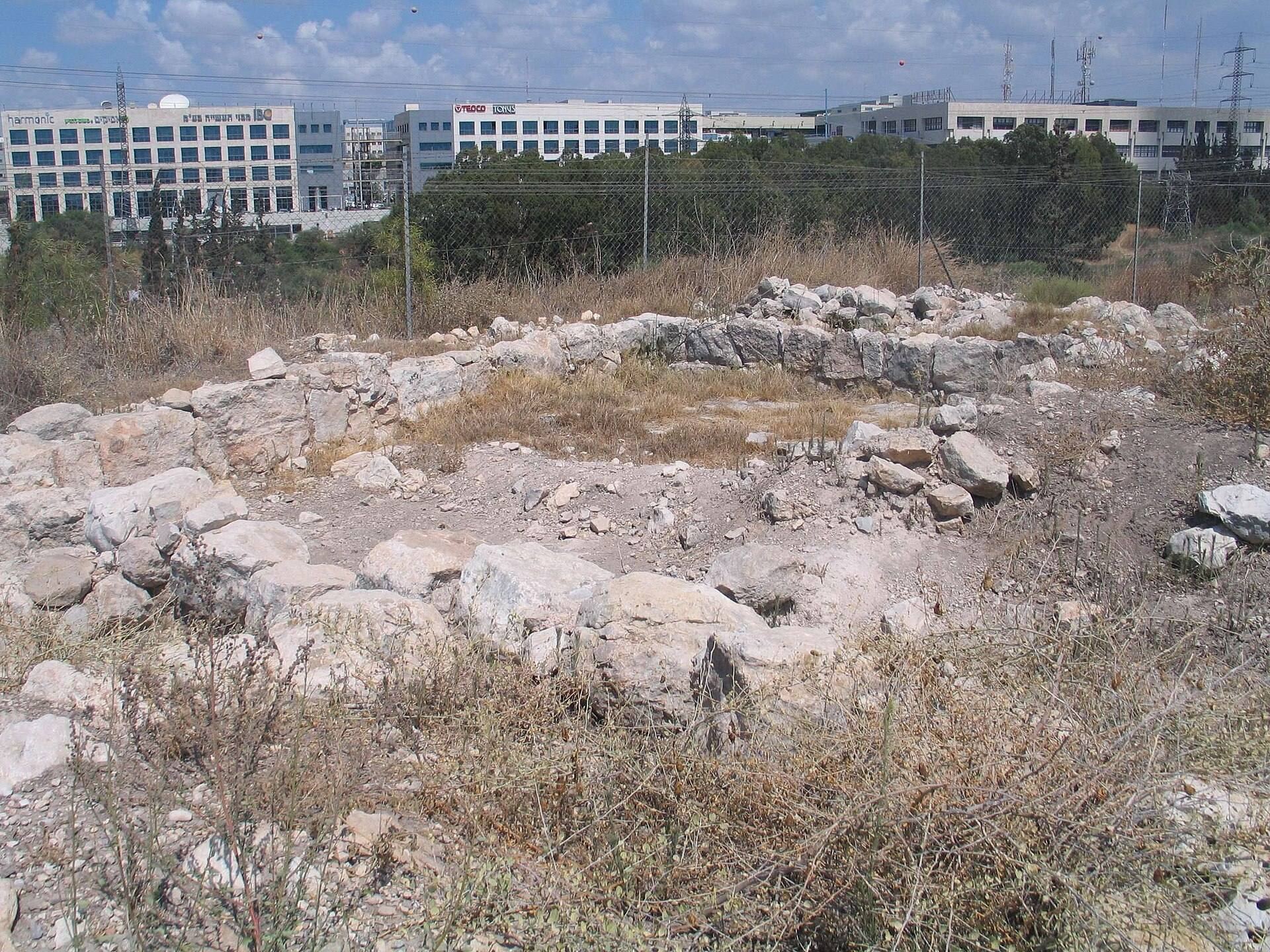
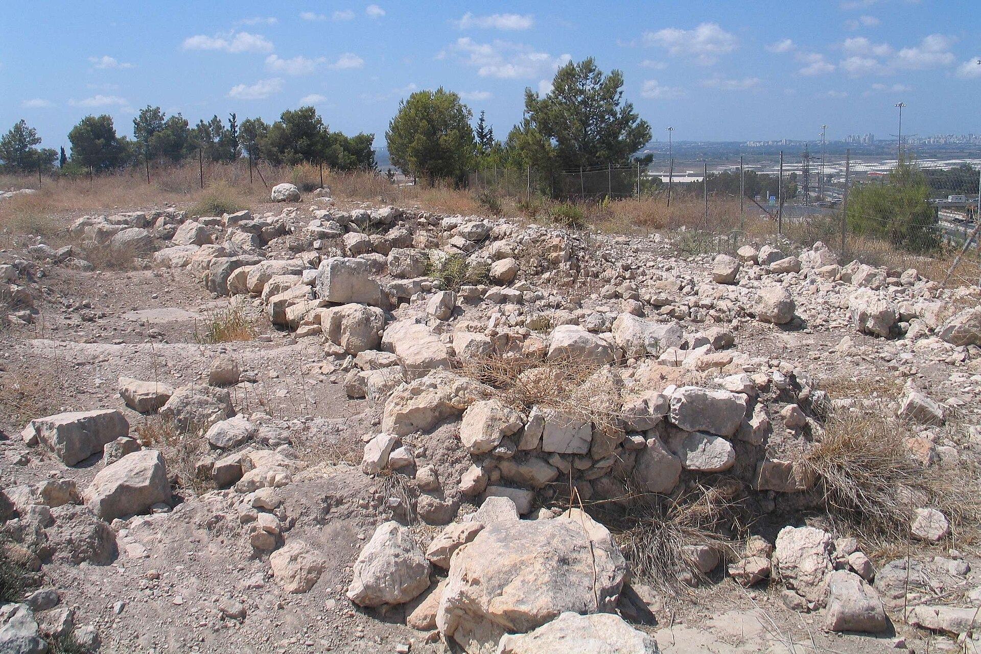
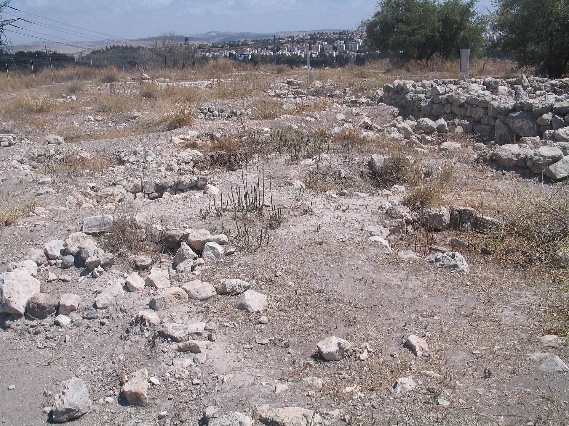
Izbet Sartah occupies a hill near Aphek and preserves three archaeological levels arranged around changing settlement plans. The remains reflect a settlement economy that combined storage, agriculture, and livestock keeping. Construction and occupation altered considerably between the earliest enclosure, the larger central settlement, and the reduced final phase.
Settlement Levels
Level III
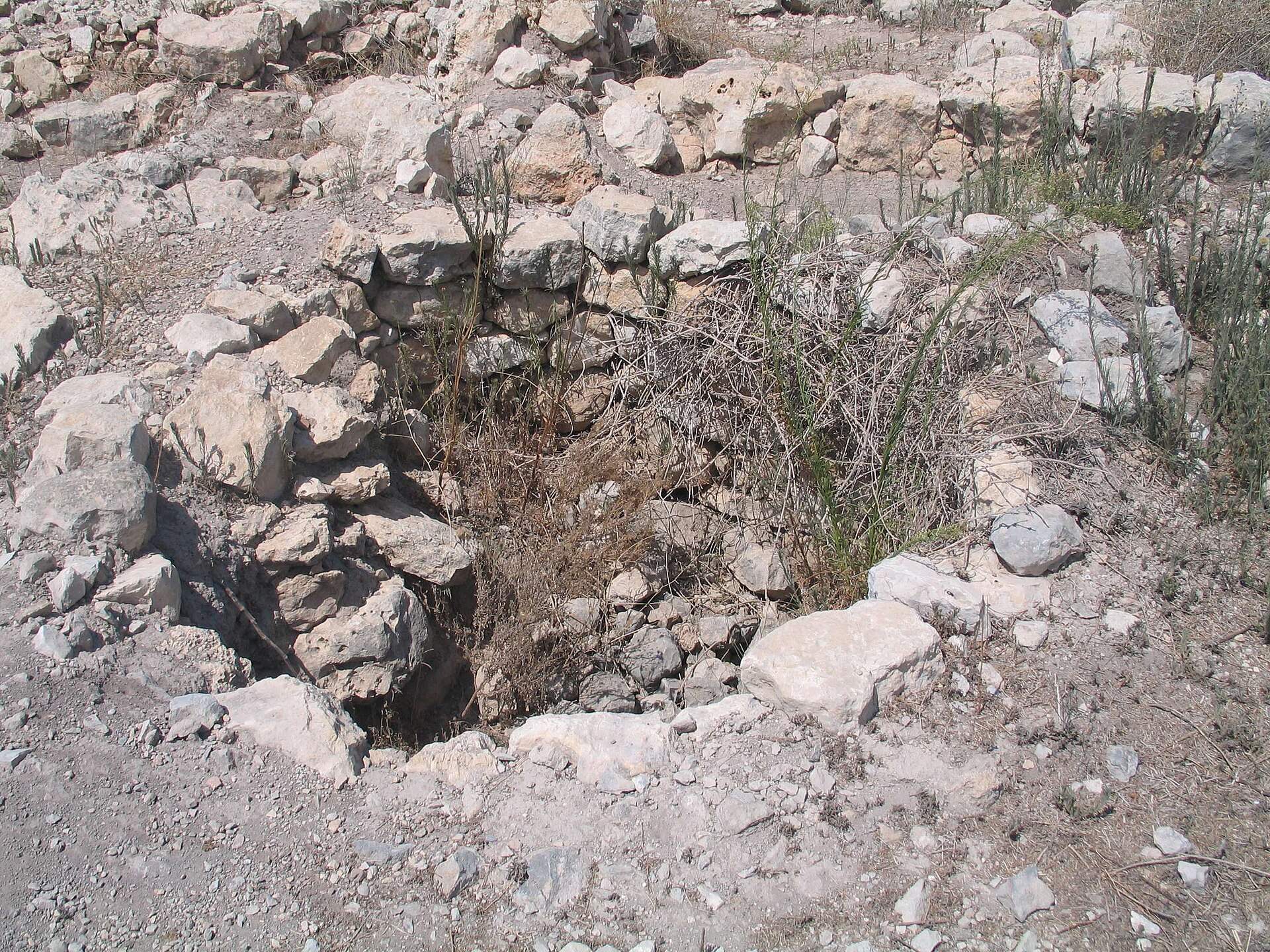
The earliest settlement, Level III, covered about 2,200 square metres and had an oval plan. A wall around its outer edge enclosed a central area containing several silos, storage installations usually used for grain or other agricultural produce. Rooms were built against the inside of the enclosure and opened toward the centre. Part of this central space served for keeping livestock, indicating the pastoral element of the settlement’s economy. Pottery from the level belongs to the end of the Late Bronze Age, the period immediately before the Iron Age in the southern Levant.
Level II
Level II began in the late eleventh century BC and expanded to about 4,000 square metres. A large four-room house stood at the centre. This characteristic Iron Age domestic plan was organized around a central space with four adjoining rooms or room divisions. Dozens of silos were cut into the ground around the house, while about twenty smaller buildings occupied the surrounding area. Some of these buildings also followed the four-room-house plan. The settlement was abandoned again after this phase.
Level I
Level I belongs to the first half of the tenth century BC and represents a smaller reoccupation of the site. Some earlier silos were blocked, while new ones were dug. The central four-room house was reused, but the buildings around the settlement were not brought back into use.
Inscription
An ostracon, a piece of pottery used as a writing surface, was found in 1976 in a Level II silo. Known as the Eben-Ezer inscription, it contains 80 letters arranged on five lines. Its final line is an abecedary, a text listing the letters of an alphabet. The writing uses proto-Canaanite script, an early alphabetic system ancestral to later Canaanite and Hebrew scripts, written from left to right. The inscription is regarded as the earliest Israelite inscription discovered to date and is important for understanding early alphabetic writing during the Israelite settlement period.