Antipatris: A Strategic Settlement and Fortress at Tel Afek
Site at a Glance
- Rating
- 4.7
- Popularity
- Very Low
- Country
- Israel
- Primary era
- Bronze Age
- Eras represented
- Bronze Age, Iron Age, Classical, Early Modern, Modern
- Civilizations
- British, Ottoman, Philistine, Roman
- Site type
- City
On this page21 sections
History
Antipatris, also known as Tel Afek, is an ancient settlement and fortress beside the Yarkon springs in Israel. Built and occupied by successive civilizations from the Chalcolithic period onward, it controlled the Afek Pass, a narrow corridor between the Samarian hills and the Yarkon wetlands. The pass formed part of the Via Maris, the major ancient route linking Egypt with the Levantine coast and lands farther east, giving the site lasting military and political importance.
Early settlement and Bronze Age Afek
The mound was inhabited for approximately 5,000 years, with occupation continuing through most periods of its history. Pottery from its foot indicates settlement during the Chalcolithic period. Afek is first mentioned in Egyptian Execration Texts from the early second millennium BCE. Egyptian kings Thutmose III and Amenhotep II later listed the city among their conquests, and it may also have appeared under the name Sharon. Further references occur in the victory stele of the Assyrian king Esarhaddon and in an Egyptian papyrus of about 600 BCE describing Nebuchadnezzar’s campaign as reaching Afek.
Afek prospered especially during the Middle Bronze Age, in the early second millennium BCE. Egyptian texts refer to its Amorite ruler, while the settlement developed a defensive wall enclosing the city, an acropolis with a palace, a large cemetery, and two further palaces built toward the end of the period. The site is also associated with the biblical Afek, including the account of a battle between the Israelites and the Philistines. This identification remains uncertain because several places bore the name Afek and the precise location of the biblical Eben-Ezer is not known.
Philistine and Hellenistic periods
During the Iron Age, the Yarkon marked the northern boundary of Philistia, the territory of the Philistines, an Iron Age population centered in the southern coastal plain of the Levant. Afek served as a Philistine stronghold, and its earliest Iron Age layer probably dates to the beginning of the tenth century BCE.
In the Hellenistic period, the settlement was called Pegai, meaning “springs,” after the nearby springs of Rosh HaAyin. It became the principal settlement of the surrounding area and appears in the Zenon Papyri. A late Hellenistic fortress stood at the site and may have formed part of the defensive line attributed to Alexander Jannaeus, although that identification is uncertain.
Herodian and Roman Antipatris
In 35 BCE, Herod the Great founded a city on the earlier Afek settlement and named it Antipatris after his father, Antipater. Herod was the Roman client king of Judea from 37 to 4 BCE and was known for major building projects, including the development of Caesarea Maritima. A Herodian fortress was added at the site around 9 BCE, when the development of Caesarea was completed.
Antipatris stood on the Roman road from Caesarea Maritima to Jerusalem. During the First Jewish War, the Roman army commanded by Cestius advanced as far as Antipatris, and Josephus referred to an Afek tower near the city. The Acts of the Apostles also places Paul on the road through Antipatris while he was being taken from Jerusalem to Caesarea to appear before the governor Antonius Felix.
An earthquake damaged the city in 363. Antipatris subsequently declined and by the fourth century was described as a small, partly ruined settlement. It remained a Christian bishopric subordinate to Caesarea, with Polychronius recorded as its bishop in the fifth century. In 750, the Abbasid general Abd Allah ibn Ali summoned members of the defeated Umayyad dynasty to Antipatris and had them massacred.
Medieval and Ottoman transformations
During the Crusader period, the site was known as the “Fortress of the Silent Springs.” A separate nearby fortress called Mirabel stood at Migdal Afek and should not be confused with the fortress on the Tel Afek mound. A Mamluk fortress or roadside inn may also have existed at Tel Afek, although the existence of a Mamluk fortress remains uncertain.
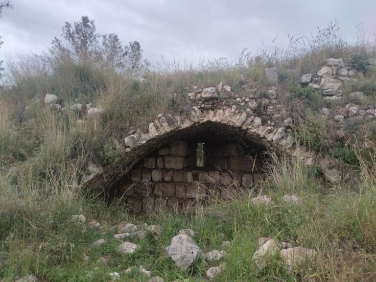
The surviving Ottoman fortress was built between 1571 and 1574 under Sultan Selim II. Its historical name was Binar Bashi, derived from a Turkish expression meaning “head of the springs.” The names “Antipatris Fortress” and related forms are later or alternative names. Construction severely damaged earlier archaeological layers.
Railways, waterworks, and archaeological protection
In 1915, the Ottoman military railway built the Ras al-Ayn station near the fortress on the eastern railway line. Under the British Mandate, the railway was rebuilt to standard gauge and the fortress became a British military camp. A Royal Air Force camp was established nearby in 1941.
The British developed the Yarkon-Jerusalem water project during the 1930s after considering several possible sources for Jerusalem’s water supply. Work began in 1933, and pumps at the Yarkon springs sent water toward the city. A 65-kilometre pipeline was laid from the area in 1936. The Yarkon-Negev water system followed in 1955 and became part of Israel’s national water system in 1964.
During the 1948 war, Iraqi forces occupied the former British camp after the British withdrawal. Israeli forces captured the area in July 1948 after fighting around Rosh HaAyin and Migdal Afek. The Iraqi forces withdrew after mining the area and placing explosives at the pumping installations, but the mines were cleared and the pumping stations were saved. The site was abandoned in 1948.
A proposal to create a municipal park around the fortress and springs was made in 1951 but was not implemented at that time. The fortress, largely intact until the 1950s, later suffered from stone removal and the collapse of sections of its walls. The Yarkon-Tel Afek National Park began to take shape in 1971, and systematic excavation started in 1972. A Tel Aviv University expedition conducted annual summer campaigns for about twenty years, following rescue excavations carried out in 1934-1936 during construction of the Yarkon-Jerusalem water line and in 1961 during the Yarkon-Negev project.
Antipatris and Tel Afek are now incorporated into the Yarkon-Tel Afek National Park, administered by the Israel Nature and Parks Authority. The protected area brings together the archaeological remains, Ottoman fortress, Roman features, British pumping station, springs, and wetland environment.
Remains
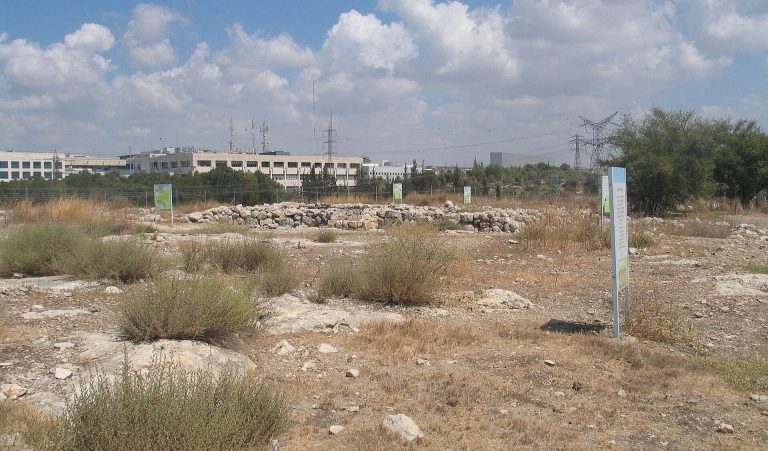
Tel Afek is a settlement mound covering approximately 120 dunams and rising about 50 metres above sea level. It lies beside the Yarkon springs, east of Petah Tikva and west of Rosh HaAyin. The mound contains remains from successive urban phases, while the wider park covers approximately 3,200 dunams and includes springs, wetland habitats, shallow wading pools, and later water installations.
Bronze Age urban remains
Early Bronze Age settlement
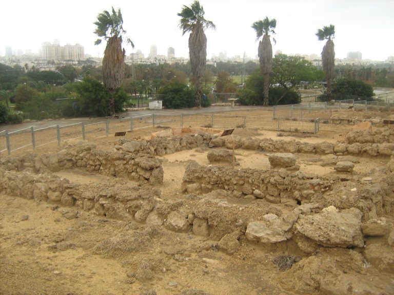
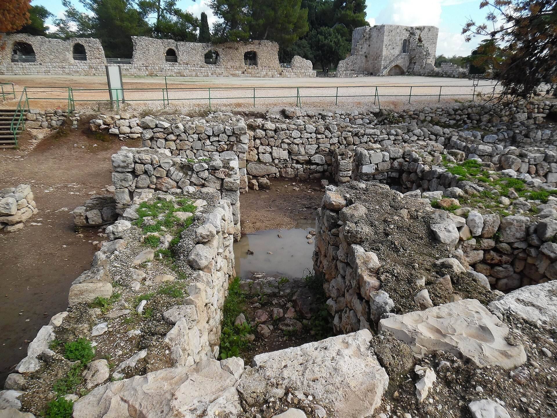
Early Bronze Age remains include a mudbrick defensive wall about 2.9 metres thick, built on a stone foundation. A street followed the wall, while regularly arranged houses stood on both sides of intersecting streets. Their layout may indicate urban planning during this period.
Middle Bronze Age defenses and palaces
During the Middle Bronze Age, a wall approximately 3.5 metres wide enclosed the entire settlement. An acropolis with a palace occupied the elevated area, and a substantial cemetery lay nearby. Two additional palaces were built late in the period, reflecting the city’s development as a major center.
Late Bronze Age palace
A large Late Bronze Age palace stood at the summit of the mound. Its stone foundations survive beneath the courtyard of the later Ottoman fortress, while its upper mudbrick walls were at least partly covered with coloured plaster. The palace produced six fragments of inscribed clay tablets written in cuneiform, a system made by pressing wedge-shaped signs into clay. The fragments include part of a mythological narrative, a glossary of agricultural terms in Akkadian and Sumerian, and a trilingual glossary in Akkadian, Sumerian, and Canaanite. Lists of liquids such as oil, water, and wine suggest use by Egyptian officials managing food consignments.
A complete Akkadian letter from Ugarit, dating to approximately 1230 BCE, was also found in the palace. It was addressed to a senior Egyptian official in Canaan and reflects the city’s administrative connections beyond the immediate region. Other finds include an Egyptian khopesh, a sickle-shaped Near Eastern sword, an Egyptian seal ring, and a foundation-brick model bearing the name of Ramesses II.
Hittite seal impression
A clay bulla, a lump of clay carrying a seal impression, was found at the site with the impression of a Hittite prince or princess. The Hittites were an Anatolian kingdom whose influence extended into northern Syria and the Levant during the second millennium BCE. The impression originally measured about 40 millimetres across, although more than half was broken and lost in antiquity. Its central inscription gives the owner’s name and title in Hittite hieroglyphs, but only part of the first sign of the name survives.
Iron Age and Hellenistic remains
Philistine occupation
Iron Age remains include storage silos at the top of the mound and two four-room houses on the northwestern slope. Excavators also found Philistine figurines of the Ashdoda type and a clay tablet bearing undeciphered signs that may represent Philistine writing.
Hellenistic fortress and street plan
The Hellenistic settlement followed a regular grid organized around a principal north-south street. Excavation exposed the western end of a late Hellenistic fortress, while its eastern wing was completely destroyed by the later Ottoman fortress. The settlement’s regular layout follows a Hippodamian plan, an urban grid formed by intersecting streets.
Roman and Ottoman structures
Roman city
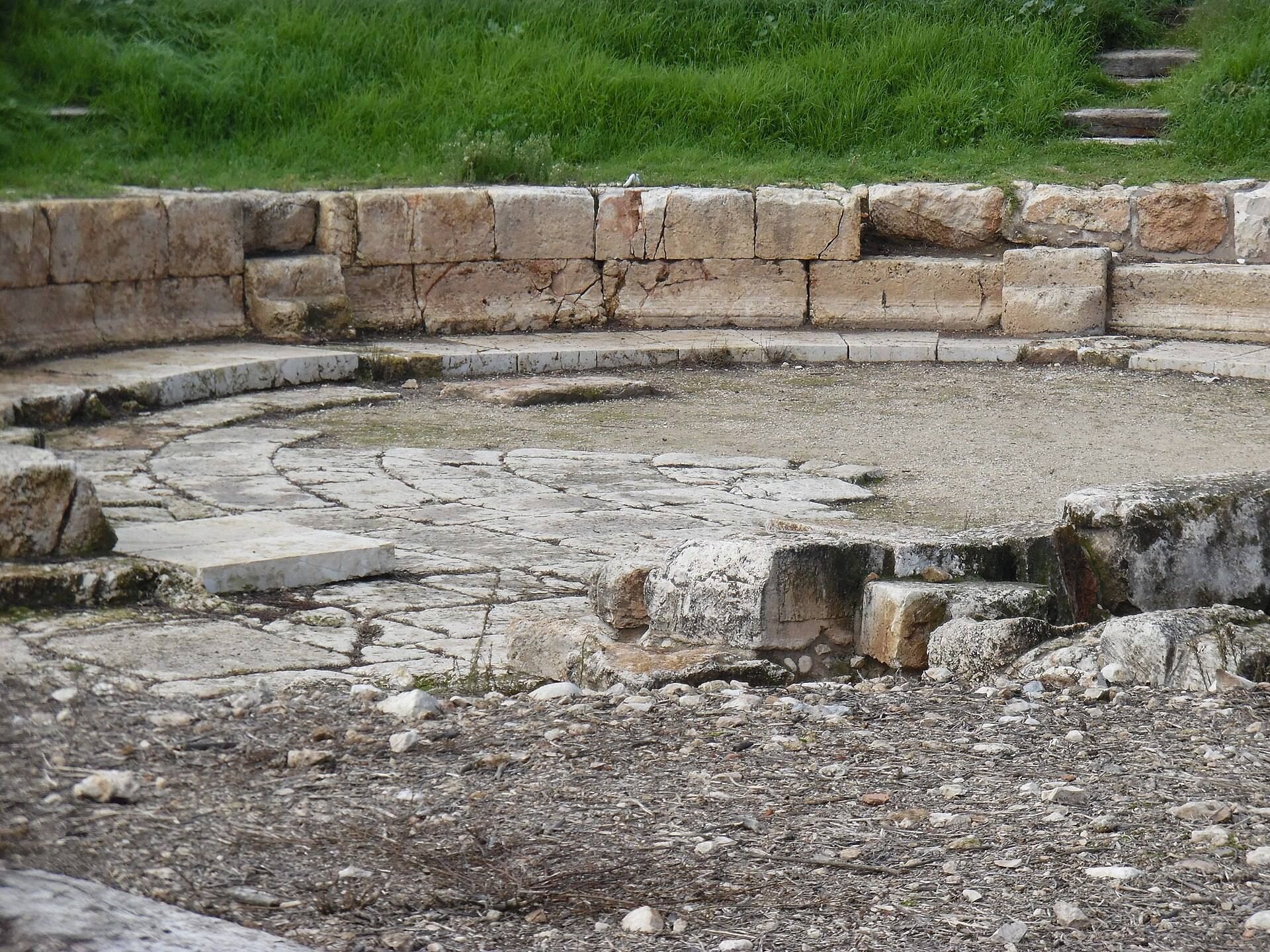
The Roman city of Antipatris occupied the earlier settlement area. Its remains include a reconstructed cardo, the principal north-south street of a Roman city, and a small theatre. In 2019, excavators discovered “Charon’s stairs,” a narrow underground passage used by theatre performers. The name refers to Charon, the figure in classical mythology associated with carrying the dead into the underworld, and the feature is one of only a small number of known examples.
Ottoman Binar Bashi fortress
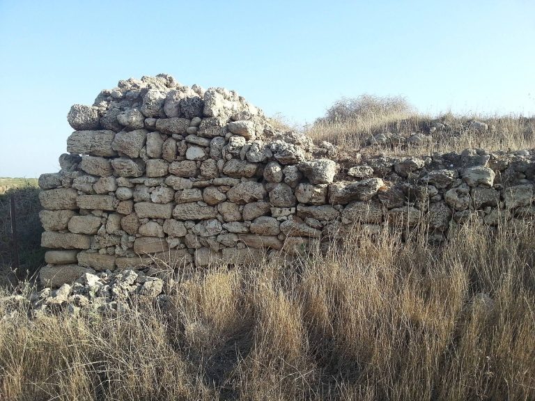
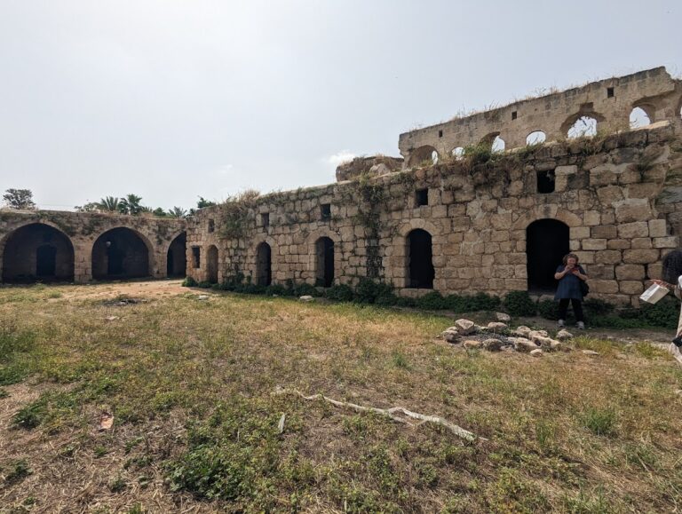
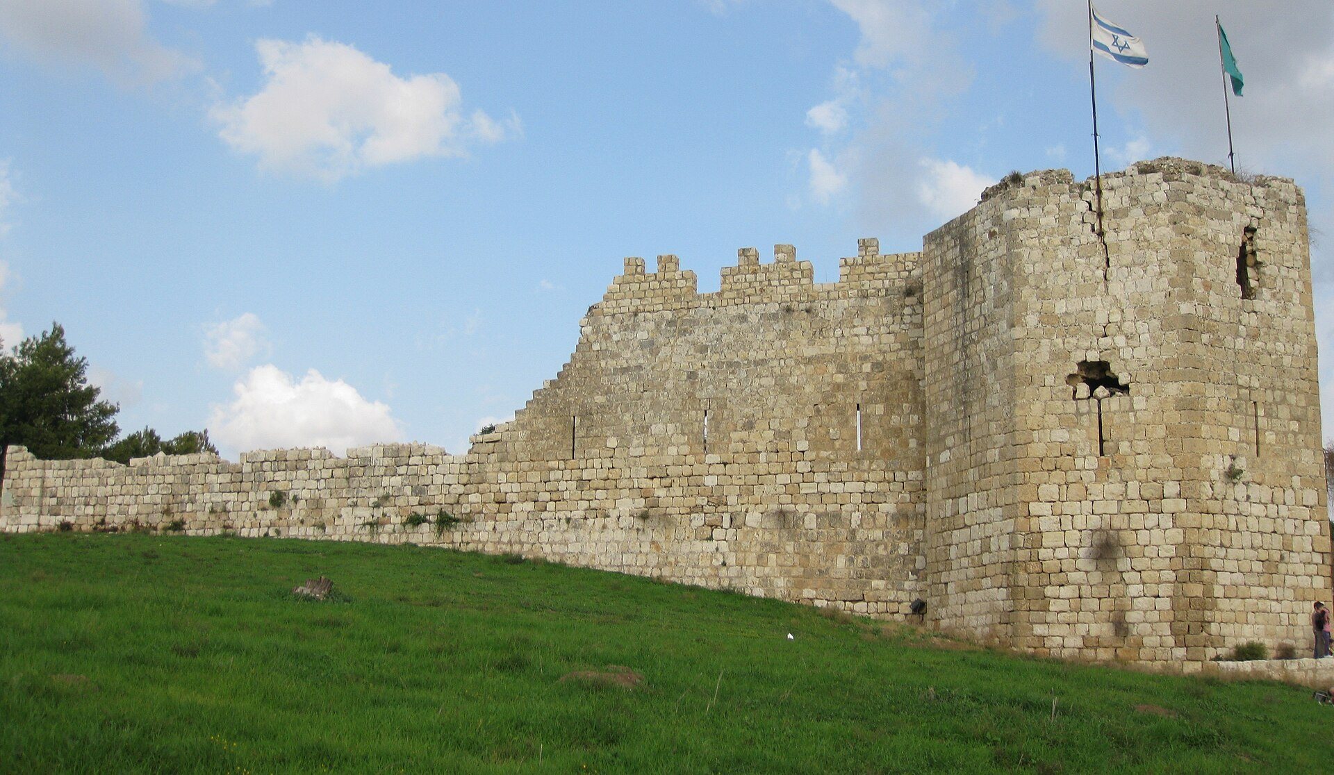
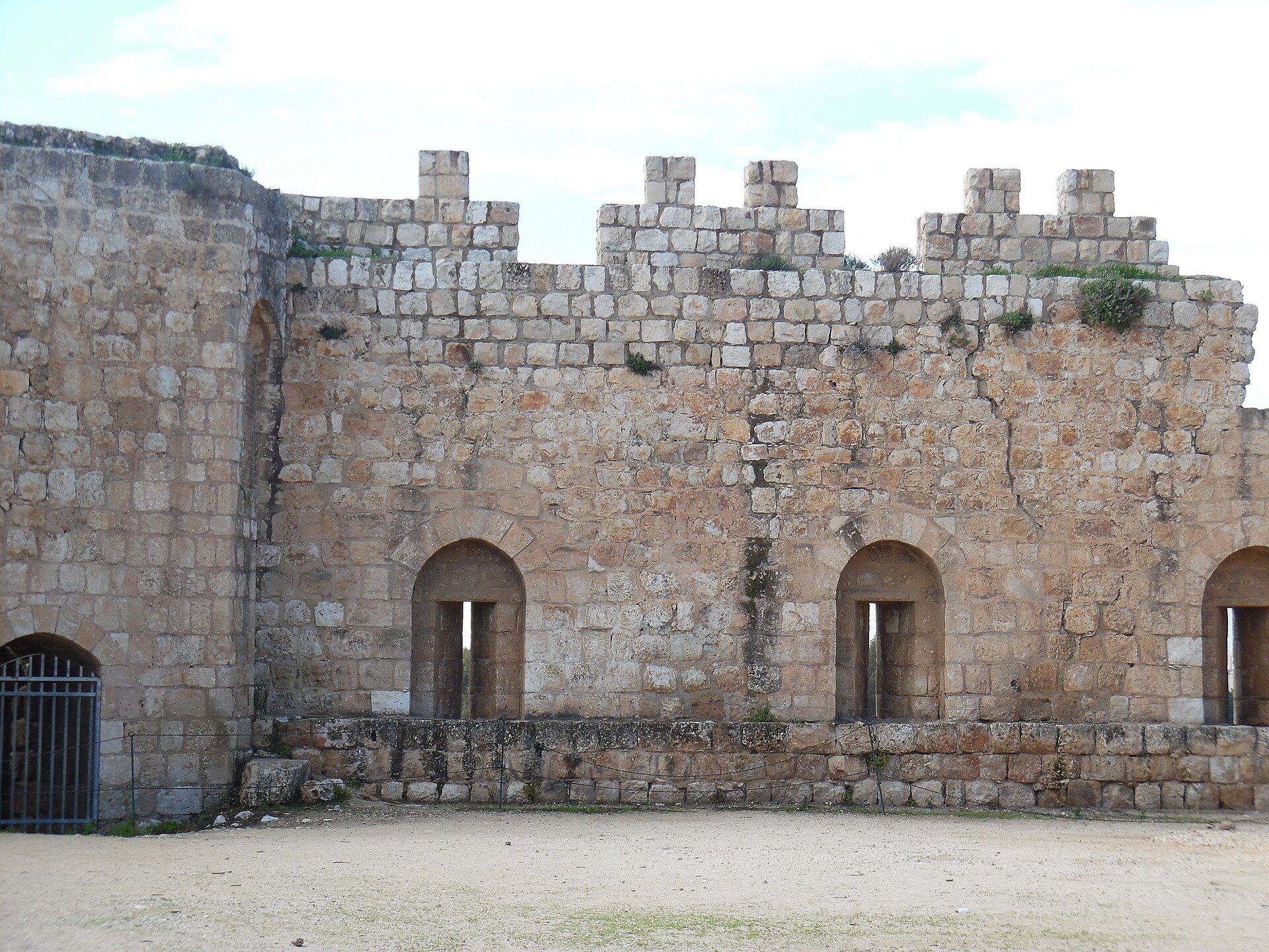
The Ottoman Binar Bashi fortress is a massive rectangular enclosure with four corner towers and a gate centered in the western wall. Its southwestern tower has an octagonal plan, while the other three towers are square. The fortress survives in a ruined condition, and its construction destroyed or disturbed parts of the earlier mound.
Waterworks and wetland landscape
British pumping station
The archaeological park contains the remains of a British water-pumping station associated with the Yarkon water projects. Its presence reflects the transformation of the springs into part of regional and national water infrastructure during the twentieth century.
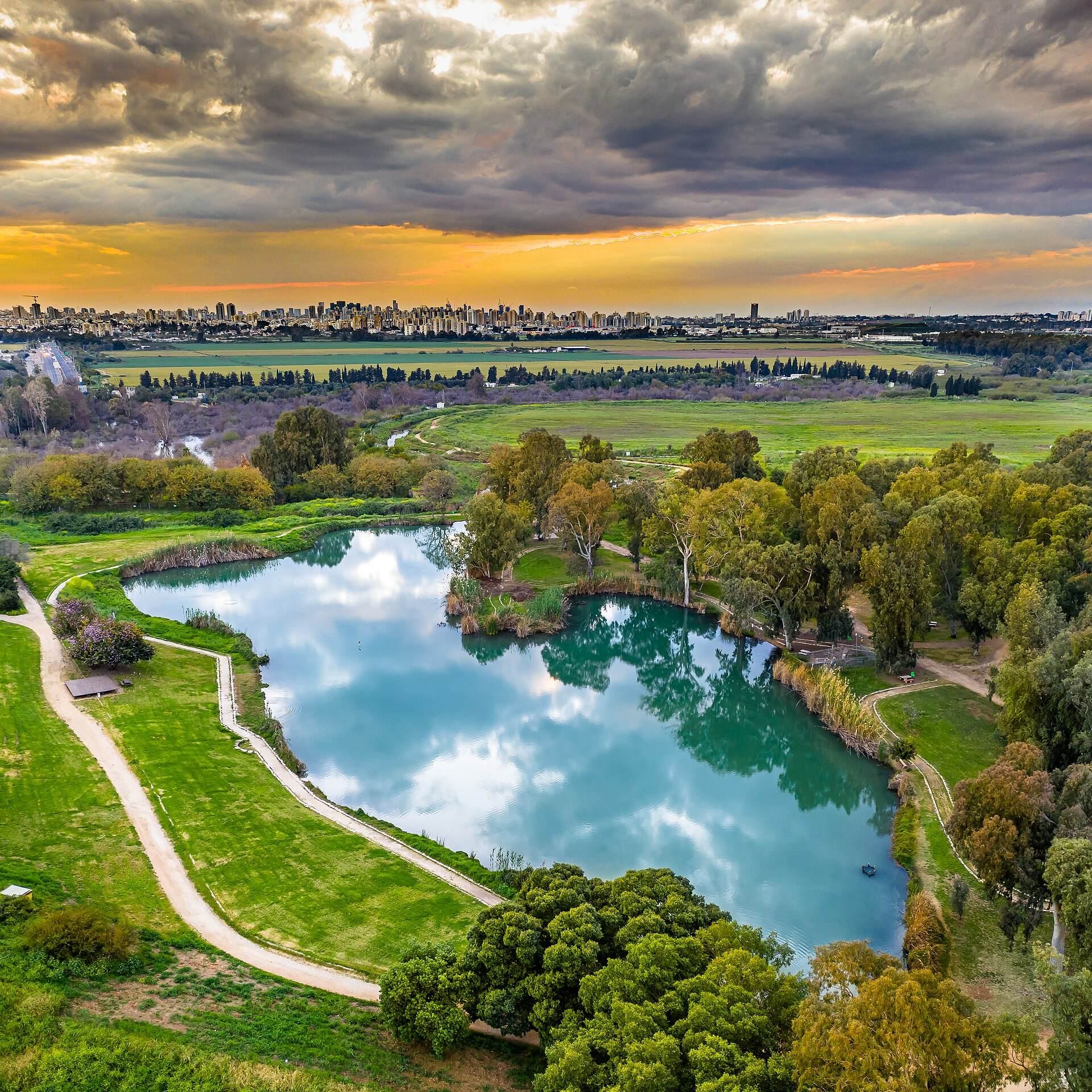
Artificial lake and freshwater habitats
A large artificial lake was created to help preserve local aquatic flora and fauna, including the endangered yellow water-lily. Restored freshwater habitats also support the reintroduced Tel Aviv bleak. Shallow channels known as wading pools form part of the modern water landscape around the archaeological remains.