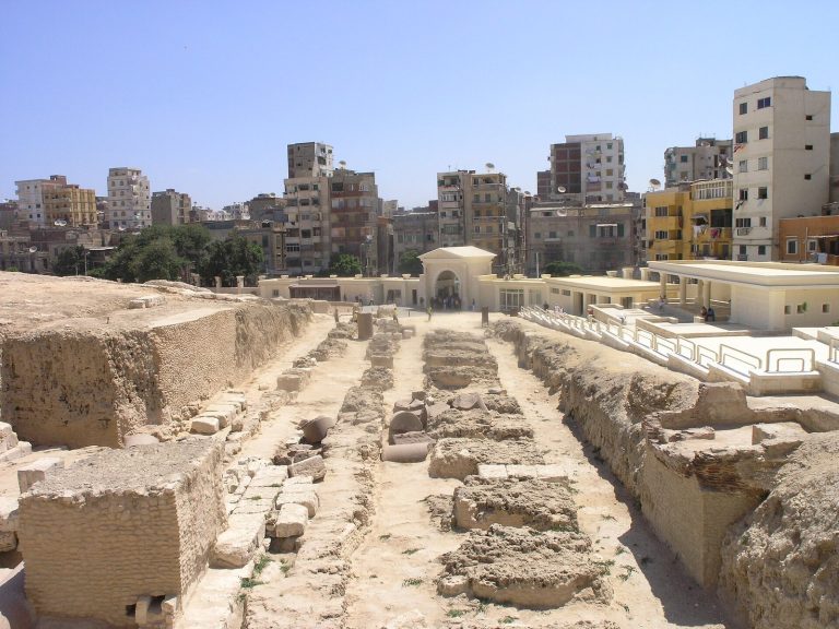
Mareia: An Ancient Egyptian Port and Frontier Stronghold
Site at a Glance
- Popularity
- Low
- Country
- Egypt
- Primary era
- Medieval
- Eras represented
- Classical, Medieval
- Civilizations
- Byzantine, Egyptian, Roman
- Site type
- City
On this page19 sections
History
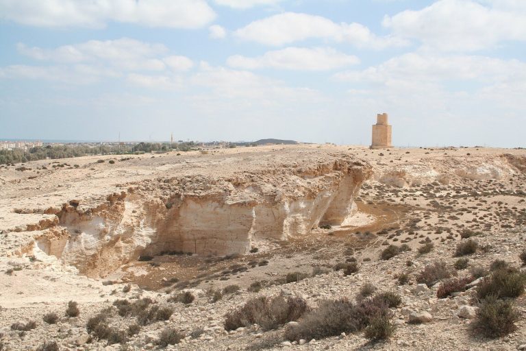
Mareia was an ancient Egyptian city at Kom el-Idris, about 45 km southwest of Alexandria, on the southern shore of Lake Mareotis, now Lake Maryut. It stood on a small peninsula near the start of a canal linking the lake to the Canopic branch of the Nile. The lake took its ancient name from the city. Mareia served as a western frontier stronghold in pharaonic Egypt and later became a major port and commercial center.
Pharaonic Egypt
Mareia belonged to the Libya-Mareotis district, or nome, an administrative division of ancient Egypt. In 654 BCE, Pharaoh Psamtik I placed a garrison there after defeating Libyan tribes that had taken control of the Oxyrhynchite nome.
A victory by Pharaoh Ahmose II, also known as Amasis, over Apries is linked to Mareia, though the battle’s location is uncertain. Diodorus places it at Mareia, while Herodotus gives Momemphis. Inaros, identified as the son of the Egyptian ruler Psamtik IV, ruled from Mareia and led a revolt in Lower Egypt against Persian rule.
Ptolemaic and Roman rule
During the Ptolemaic period, when a Macedonian Greek dynasty ruled Egypt, Mareia prospered as a port and became the leading commercial center on Lake Mareotis. It was sometimes described as the capital of a Mareotis nome, although that district was not among Egypt’s established nomes. Mareia remained a large port under Roman rule and may already have been an important harbor in Ptolemaic times.
The city’s wine circulated around the Mediterranean and drew praise for its sweetness, lightness, pale color, and ability to mature. Some writers nevertheless ranked it below wines from Anthylla and Tenia. The Roman agricultural writer Columella considered it too thin for Italian tastes accustomed to Falernian wine. Virgil praised its pale grapes and fertile soil, while Horace associated the wine with the drink favored by Cleopatra VII, the last active ruler of the Ptolemaic kingdom.
Mareia’s name also became a poetic shorthand for Egypt and Egyptian goods. Grattius used Mareotica for Egyptian luxuries, Martial wrote of Egyptian papyrus as cortex Mareotica, and Ovid used arva Mareotica for Lower Egypt.
Decline and medieval use
Mareia declined under Roman rule and had contracted to a village by the second century CE. The settlement appears to have been abandoned by the late eighth century, although habitation may have continued as late as the fourteenth century. Finds from the thirteenth and fourteenth centuries also suggest that the harbor remained in use into the medieval period. An earlier proposal identifying Kom el-Idris with the late-antique settlement of Philoxenite is now largely rejected.
Archaeological investigations
Investigations at Mareia began in the 1960s. The University of Alexandria carried out major excavations from 1977 to 1981, and a Polish expedition involving the Archaeological Museum of Kraków and institutions at the University of Warsaw has worked at the site since 2000. Excavation of the Byzantine basilica began in 2003.
Remains
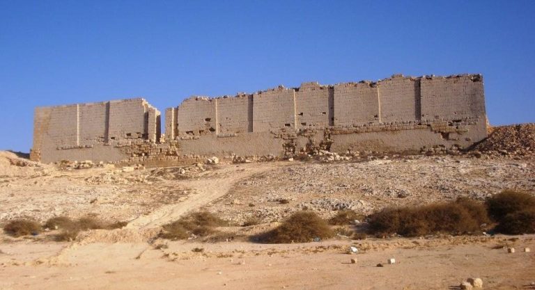
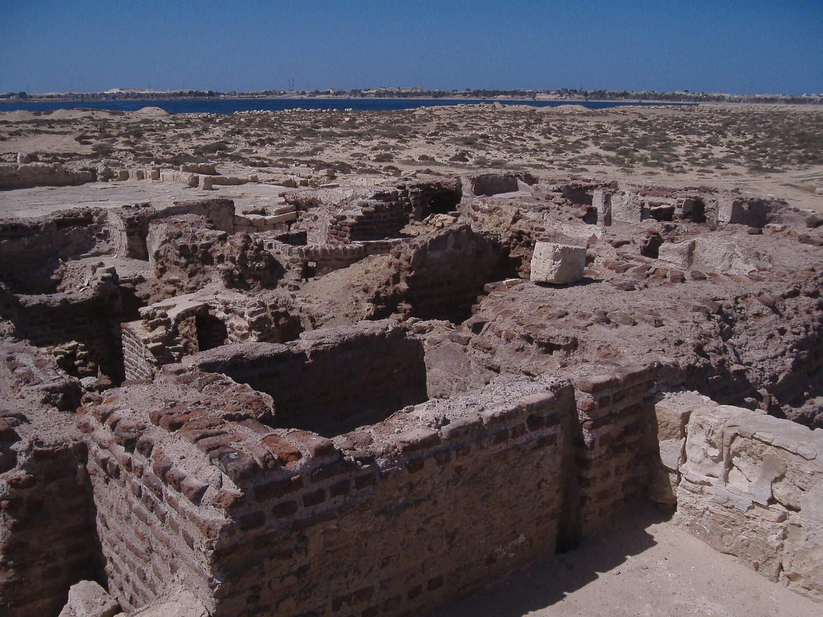
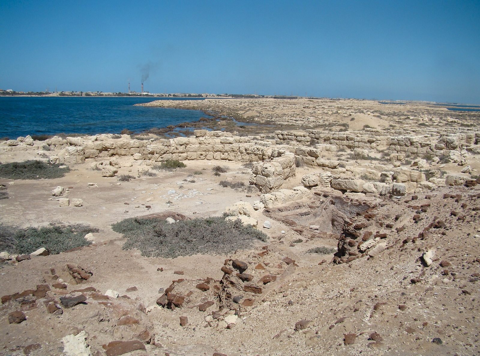
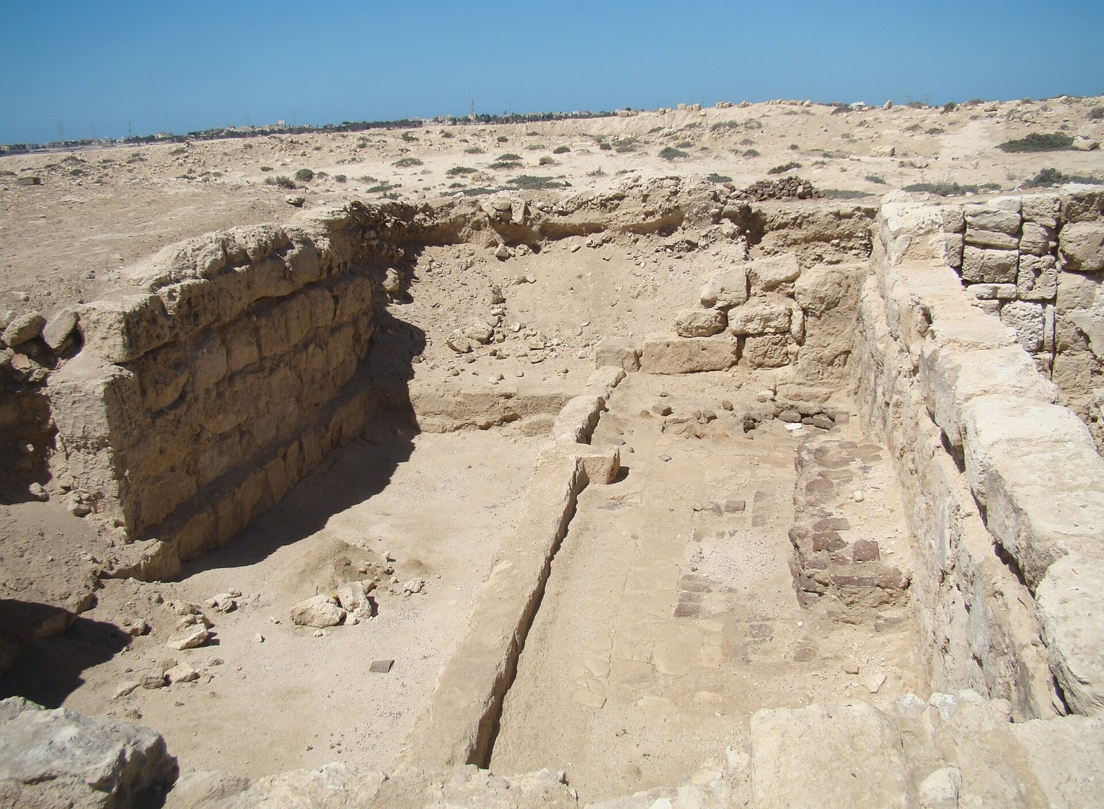
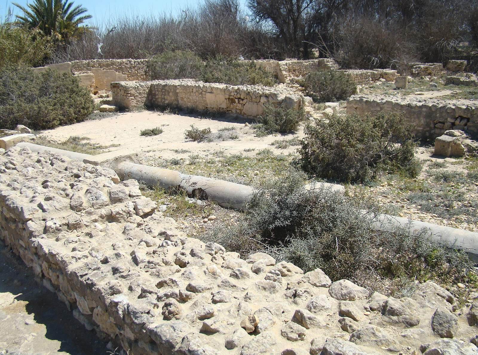
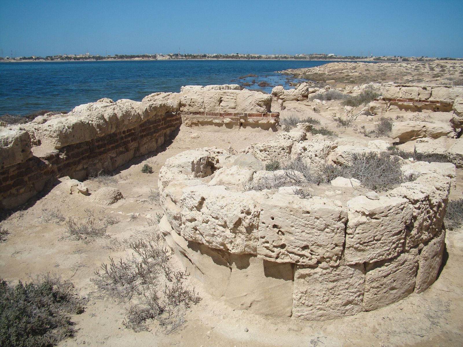
The surviving remains are concentrated along the lakeshore and near the harbor. Stone jetties and quays form the main harbor installations, while the city plan includes two principal streets. Elsewhere, the archaeological remains include bathing and wine-making facilities, a pottery kiln, churches, burial places, and a Byzantine-period house.
Harbor and street plan
Harbor works
Four stone jetties survive at the harbor, and the longest extends about 120 m into the lake. Harbor installations lay to the east, center, and west, with a further jetty to the east. The central jetty had quays built from limestone, red mortar, and pottery fragments; another quay lay north of its entrance. Of the three harbor entrances, the eastern one was the most substantial in both construction and function.
Principal streets
The city’s two main streets were the cardo maximus, conventionally the north–south axis in Roman town planning, and the decumanus maximus, conventionally the east–west axis.
Bathing and production buildings
Baths and courtyard building
Two bathing buildings have been identified, each with separate sections for men and women. A bath complex is among the remains attributed to the Byzantine period. Another building, perhaps a lodging place for travelers, had two courtyards surrounded by columns, known as peristyles, with numerous smaller rooms around them.
Wine-making and pottery production
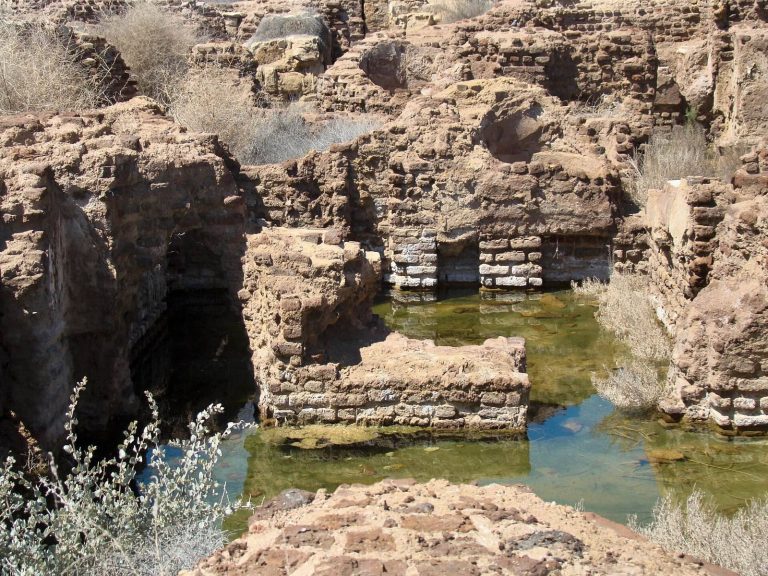
Two wine-making installations were found. One comprised a small room, a larger room, and a basin with four layers made from red mortar mixed with powdered pottery. The basin’s construction was interpreted as indicating that it served neither for bathing nor for collecting wastewater. A large pottery kiln, described as one of the largest found in Egypt, and numerous wine presses have also been identified. Amphorae, ceramic vessels used to transport and store goods, were made locally for carrying Mareian wine.
Churches and burial places
Harbor basilica
Near the harbor, a basilica, or large church, measured about 49 by 47 m and dates to the fifth or sixth century. It had three aisles and a crosswise section called a transept. Marble columns and wall mosaics decorated the building. Beneath it lay the remains of an older church, preliminarily dated to the second half of the fourth century. A smaller chapel and a latrine stood nearby. Fifth- and sixth-century inscribed pottery fragments found in 2001 bear notes about the basilica’s construction.
Funerary chapel
A separate funerary chapel, dating to the sixth century, measured about 9 by 7.7 m. Groups of burial chambers were also found at the site.
Tombs and graves
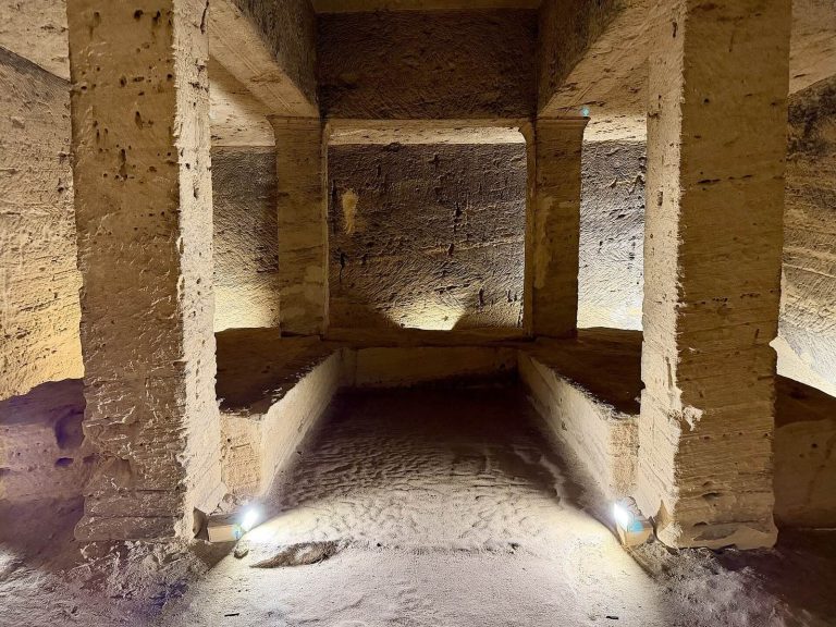
Tombs from different periods occur across Mareia. Many, especially in the western and southern areas, were robbed in antiquity. Some had an upper passage cut into a hill, while others were pit tombs; certain ceilings were shaped to imitate timber beams. Limestone burial chambers cut into hills, known as loculus tombs, were square and had gabled roofs whose form was compared to Greek temples. Cement-tile slabs covered them, bearing the names of the deceased.
Some Islamic-period graves placed the deceased facing the qibla, the direction of prayer toward Mecca. A Fatimid-period coin supports dating some of these burials to the period when the Fatimid dynasty ruled Egypt. South of the Islamic graves was a chamber tomb with a northern entrance closed by three basalt blocks; oil lamps were used to light its interior.
Domestic architecture
Byzantine-period house plan
A house on the north side of the lake stood northwest of the winery and is dated broadly to the fourth through seventh centuries, based on comparison with houses at Kom el-Dikka in Alexandria. Its main entrance faced east and had a Roman-style keystone. An eastern doorway led through a rectangular passage with a marble floor to a bent entrance, a Byzantine feature interpreted as protection from dust. Beyond it lay a large peristyle courtyard.
A room stood across from the courtyard, and another room to its right contained two platforms that may have held statues. The principal room also lay to the right and opened onto the courtyard. Identified as a tablinum, a principal room in a Roman-style house, it may have served as a reception room. Other rectangular rooms opened onto a narrow hall, which in turn opened onto the courtyard. A doorway on the south side faced one on the north side.
Water, service rooms, and construction
A rectangular basin occupied the middle of the courtyard and collected water. The house also had two kitchens and a square bathroom coated with alabaster. Two drainage holes in the bathroom connected to a channel, and five small rooms beside it opened directly onto the courtyard. A stone disk found in the courtyard’s southwest side may have served as a wine press or grain mill.
The house used opus Africanum, a building technique in which upright stone elements are linked by horizontal blocks. This technique spread from the second century CE, while the house itself belongs broadly to the fourth through seventh centuries.