Sheva Tahanot: An Ottoman-Era Flour-Mill Complex in Tel Aviv-Yafo
Site at a Glance
- Rating
- 4.6
- Popularity
- Very High
- Country
- Israel
- Primary era
- Early Modern
- External website
- Open
- Eras represented
- Classical, Early Modern, Modern
- Civilizations
- Ottoman, Roman
- Site type
- Economic
- Remains
- Watermill
On this page12 sections
History
Ottoman-Era Milling
Sheva Tahanot is an archaeological flour-mill complex on the Yarkon River in Yarkon Park, Tel Aviv-Yafo, Israel. Mills operated here during Ottoman rule, when the Ottoman Empire governed the region, and further mills were established in the nineteenth century. The surrounding area became a regional center for grain milling. Nearby Jerisha, an Arab village, and Tel Napoleon, also known as Tel Grisa, have names associated with this activity.
Farmers brought grain from the surrounding districts and sometimes waited at the mills for hours or days. A coffeehouse and a boat landing developed to serve them. At least eleven pairs of millstones were powered by the Yarkon’s flowing water. Seven mills operated in the western building, giving the site its name, which means “Seven Mills.”
The 1917 Crossing and the Mills’ Closure
On the stormy night of 20–21 December 1917, the 155th Scottish Brigade of the British 52nd Division crossed the Yarkon at Sheva Tahanot. The brigade moved east along the river’s northern bank and captured the Ottoman position at Khirbet Hadra, identified with present-day Ramat HaHayal. The position controlled the Yarkon crossing at Ten Mills. This action took place during the First World War, when British forces were capturing territory governed by the Ottoman Empire.
A Jewish resident of Tel Aviv purchased the mills during the 1920s. They stopped operating in 1936, unable to compete with more modern mills, and the site was then almost entirely neglected.
Exposure and Restoration
In 1990, the Yarkon River Authority, a public body concerned with managing and rehabilitating the river, partially exposed the historic mills. Work also raised and leveled the dam to make crossing it safer. The mill pond was exposed and partly restored in 2000–2001, and ecological purification pools were established near the mills on the southern bank in 2004.
A flat concrete bridge was inaugurated beside the older arched wooden bridge in 2008; the wooden bridge was later removed, and further work gave the dam its present appearance. Partial reconstruction of the southern building was completed in 2019, including work on the milling installations and improved access to the storage pond for wheelchairs and strollers. The Avshalom Institute, an Israeli educational organization focused on geography and related subjects, adopted the site for its fiftieth anniversary in recognition of its founder, Professor Shmuel Avizur, an expert on flour mills.
Remains
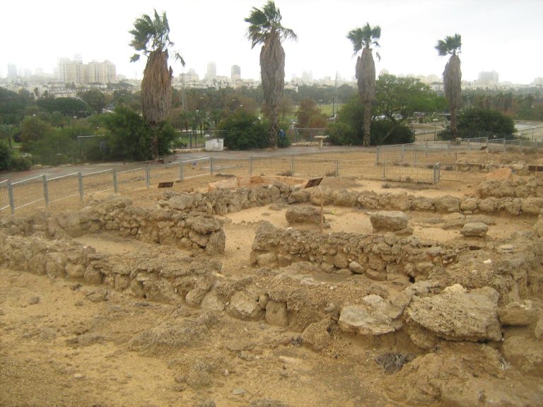
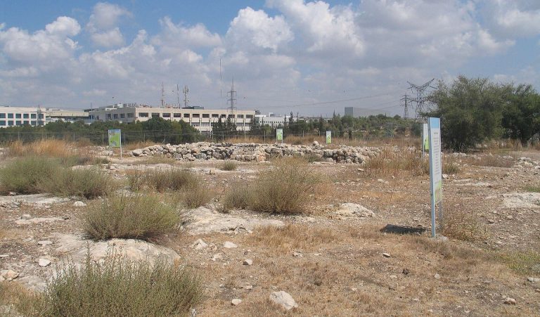
The surviving complex includes western and southern mill buildings, ponds, waterworks, and a stone dam across the Yarkon. The remains are connected to the river’s diverted flow and to bridges that complete the crossing beside the dam.
Mill Buildings and Ponds
Western Building
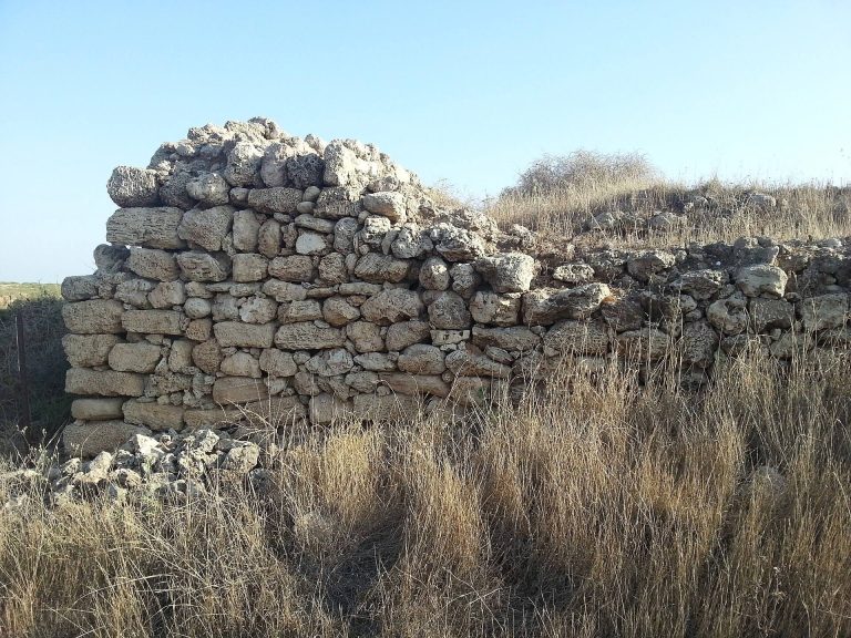
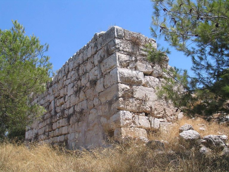
The western building is a surviving component of the mill complex. Seven mills once operated there, forming the group associated with the site’s name.
Southern Building and Pools
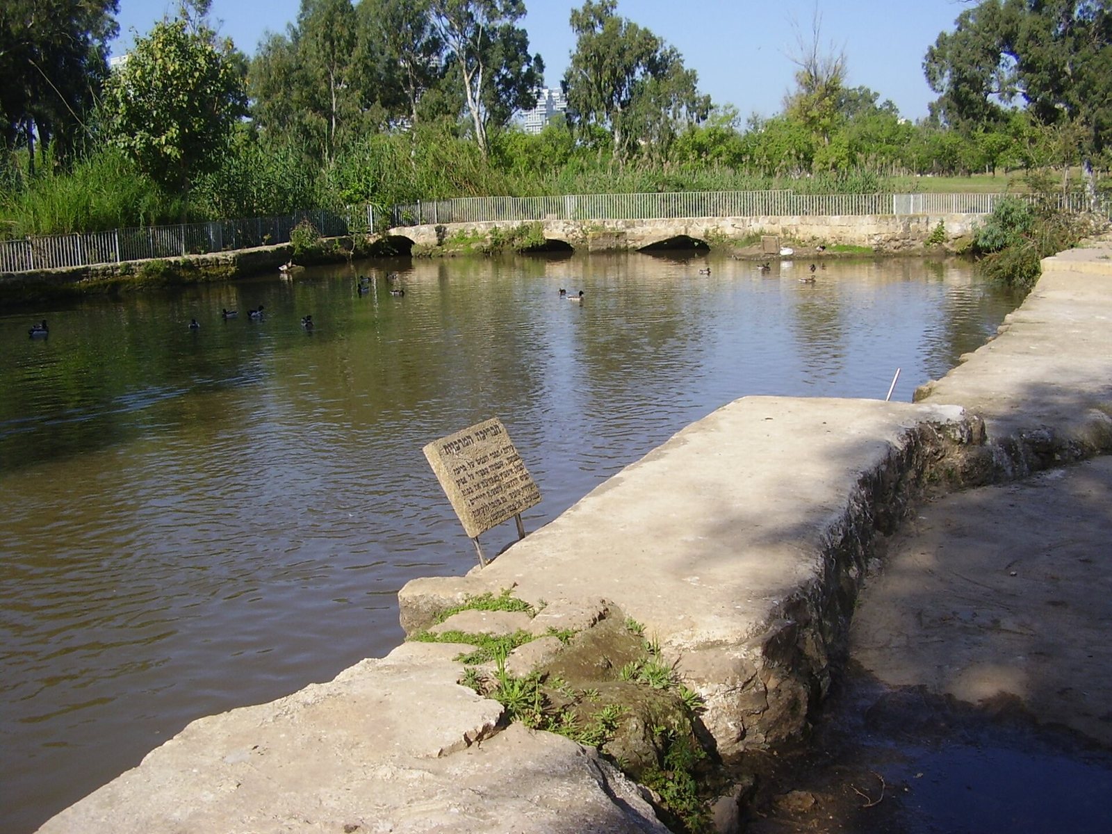
The southern building contains partly reconstructed milling installations. The southern part of the site also has a decorative pond and a lined artificial pond. Aquatic plants grow in these pools, which can partially purify sewage water.
River Works and Crossing
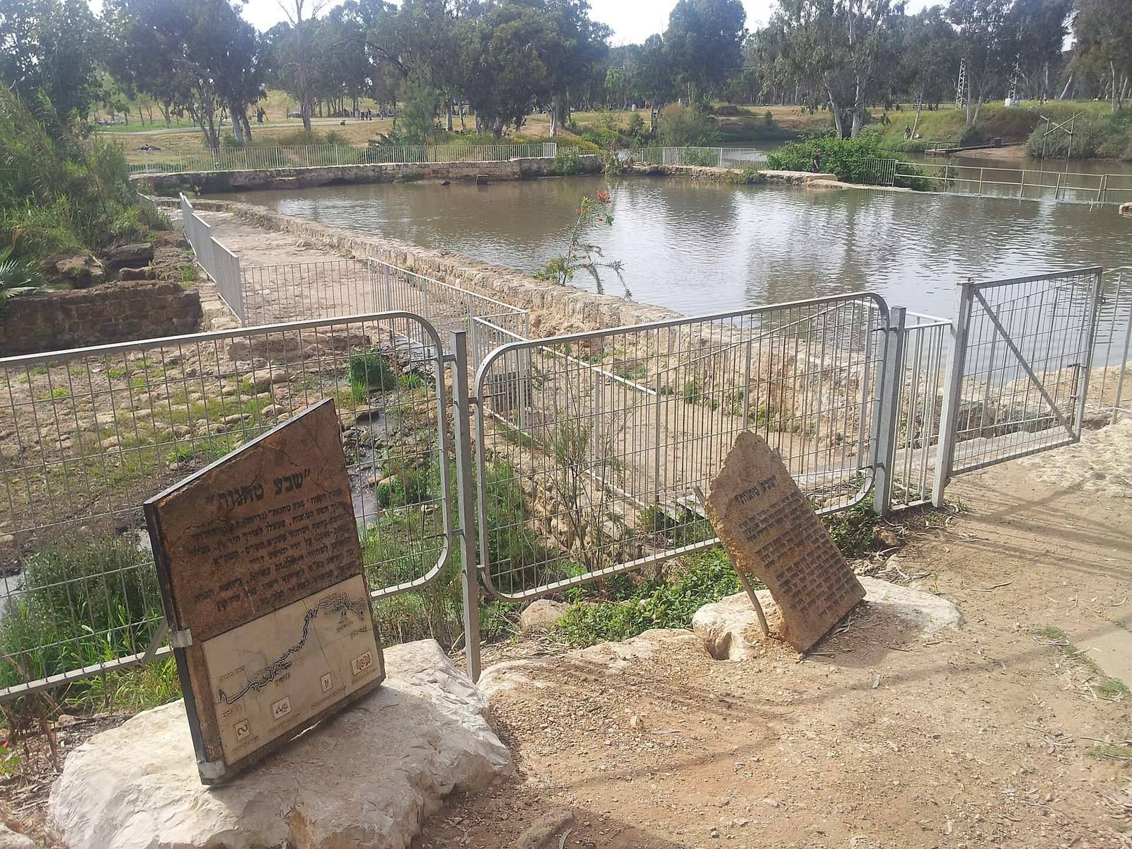
Dam and Water System
Foundations of an ancient Roman bridge were discovered at the site and reused beneath a stone dam that crosses the Yarkon. The dam creates a difference of several meters between upstream and downstream water levels. This helped provide the water levels needed for milling, since the river’s gradient is only 0.6 units of elevation per 1,000 units of horizontal distance. Water is diverted into a pond beside the mill remains on the southern side of the river, then descends as a waterfall into the downstream channel. The pond’s northern edge once flooded only when the river overflowed; it now carries a permanent waterfall, making that side continuously impassable.
Bridge
The dam stops short of the southern bank, and a bridge completes the gap. The present bridge is flat and made of concrete. When the Yarkon rises above its banks, the dam is flooded and passage is closed.
River Habitat
An island lies in the river west of the dam and is frequented by waterfowl. Birds also gather on the mudflat beside the southern bank.