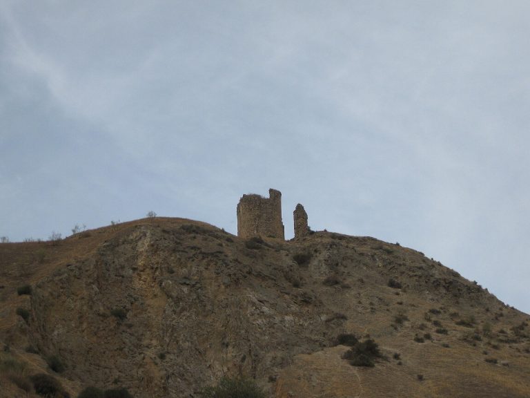
Antequera Dolmens Site: Prehistoric Tombs in a Monumental Landscape
Site at a Glance
- Country
- Spain
- Primary era
- Stone Age
- Eras represented
- Stone Age
- Civilizations
- Unclassified
- Site type
- Burial
On this page10 sections
History
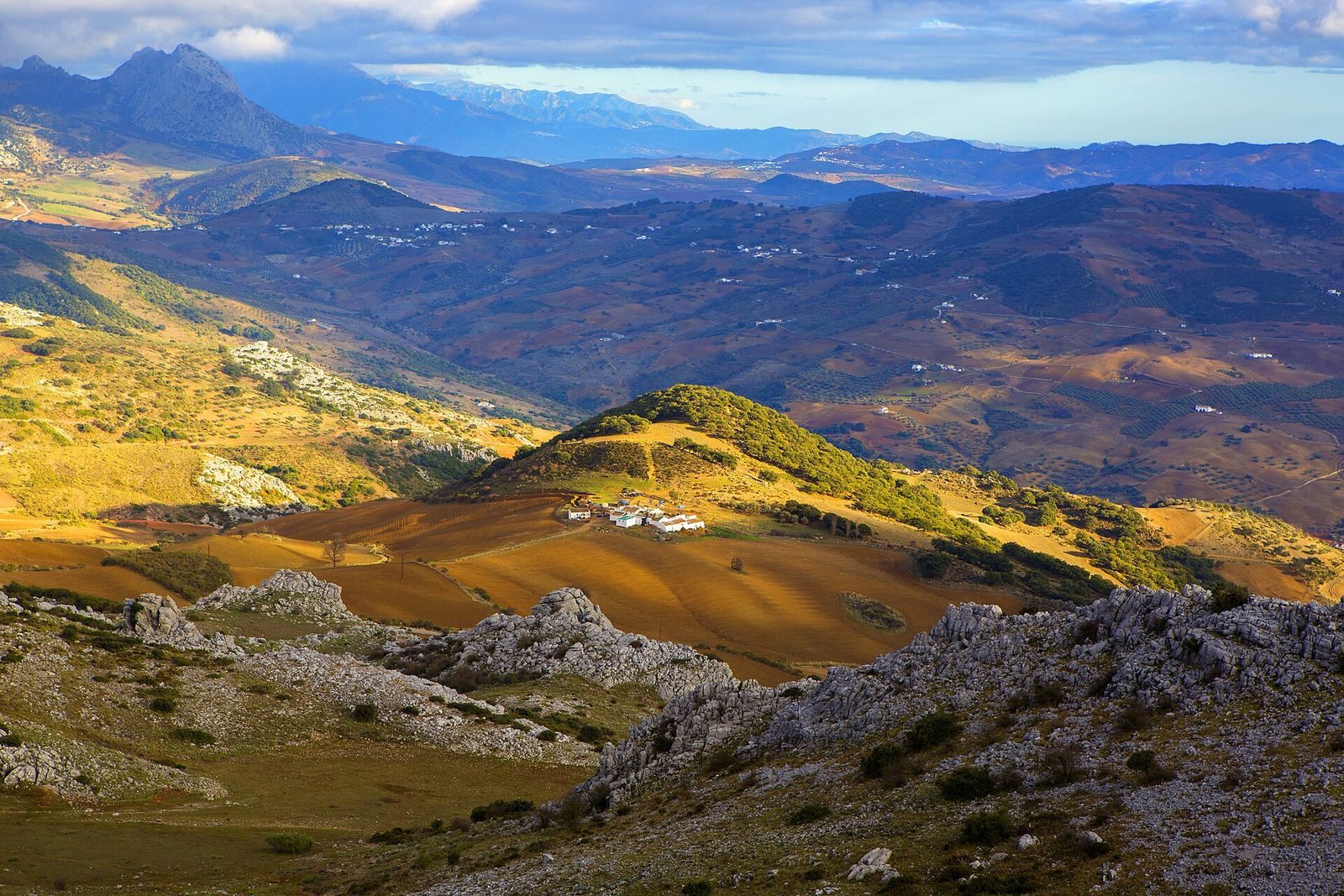
The Antequera Dolmens Site is a prehistoric cultural landscape in Antequera, Andalusia, Spain, bringing together three stone tombs and two natural landmarks. Its monuments span the Neolithic, a period associated with early farming, and the Chalcolithic, or Copper Age, which followed. They represent the era when the first ceremonial monuments were built in Western Europe. The site’s historical importance rests on the relationship between its built monuments and natural features, which are understood together as a monumental landscape.
Protection and World Heritage recognition
A proposal to designate the archaeological ensemble was made in 1997. Andalusia designated the dolmen archaeological zone a Property of Cultural Interest in 2009. That year, the regional parliament unanimously urged the government to begin the designation process. Peña de los Enamorados received a separate designation in the same category in 2011.
The regional government submitted the site’s candidacy to Spain’s Historical Heritage Council in 2011. UNESCO added it to the country’s Tentative List in 2012, and in 2014 the council selected it as Spain’s sole candidate for the 2015 World Heritage cycle. Spain submitted the final proposal in 2015. After the International Council on Monuments and Sites, an organization that advises UNESCO on cultural sites, requested clarifications, Spain provided further documentation. The council issued a positive evaluation in May 2016.
At its 40th session in Istanbul in 2016, UNESCO inscribed the site as a serial World Heritage property, meaning separate component sites recognized together for their shared value. It was presented as the first megalithic ensemble in continental Europe to receive this recognition. The Antequera Dolmens Archaeological Complex is responsible for the property’s protection.
Remains
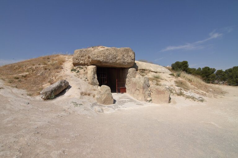
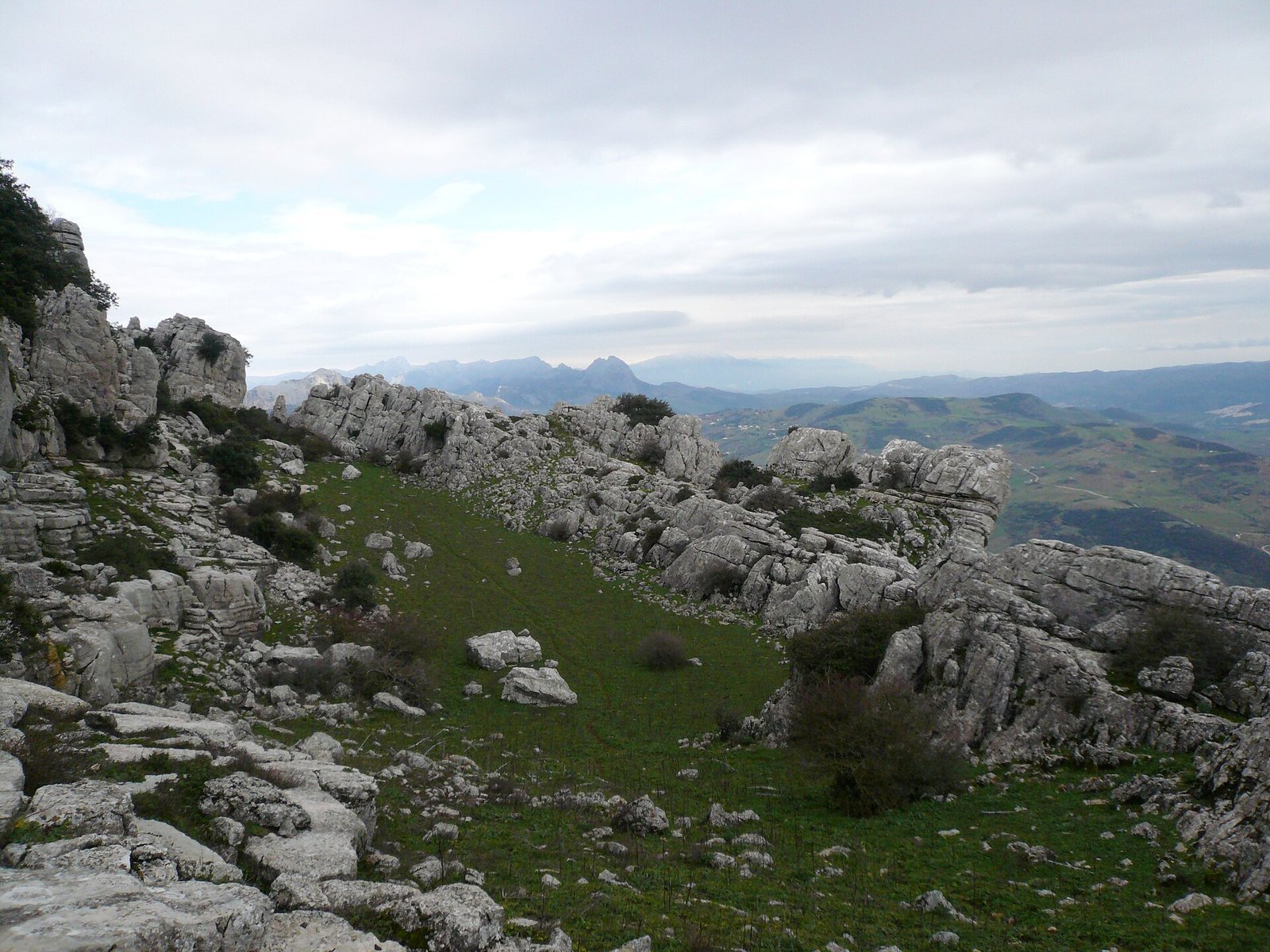
The inscribed area covers 2,446.3 hectares and has a buffer zone of 10,787.7 hectares. Its four component areas comprise Menga and Viera together (3.6 hectares), El Romeral (3.9 hectares), Peña de los Enamorados (258.8 hectares), and El Torcal (2,180 hectares). The tombs use two main building methods: upright stone slabs bearing horizontal capstones, and corbelled vaults formed by courses of masonry projecting inward. The megaliths retain their constituent elements and are in good conservation condition.
Megalithic tombs
Dolmen of Menga
Dating to the Neolithic, Menga is a large corridor tomb built from upright stone slabs and capstones beneath an earthen covering. Its scale brought the corridor-tomb form to the limits of its construction, and the design includes intermediate pillars. Menga is oriented toward the human-like profile of Peña de los Enamorados, specifically toward the Matacabras rock shelter. The shelter, described as contemporaneous with Menga, contains rock paintings.
Dolmen of Viera
Viera is oriented toward sunrise at the equinoxes, an alignment found at almost all dolmens around the Mediterranean. Michael Hoskin, a researcher of relationships between archaeological sites and celestial events, estimated that the proportion was 99.99 percent.
Tholos of El Romeral
Dating to the Chalcolithic, the Tholos of El Romeral is a corridor tomb with a false dome built from inward-projecting masonry courses. This construction differs from Menga’s use of upright supports and horizontal slabs. El Romeral is oriented toward the El Torcal mountains and the Cave of the Bull, as well as toward the midday sun at the winter solstice. It also lies on the axis between Menga and Peña de los Enamorados.
Natural landmarks
Peña de los Enamorados
Peña de los Enamorados rises abruptly from the plain and has a human-like profile. Its landform is one of the natural features included in the cultural property.
El Torcal
El Torcal includes an extensive karst landscape at its summit, terrain shaped by the dissolution of soluble rock. The Cave of the Bull lies within the mountain area.