Catania Aqueduct: A Roman Water Supply in Sicily
Site at a Glance
- Popularity
- Medium
- Country
- Italy
- Primary era
- Classical
- Eras represented
- Classical
- Civilizations
- Roman
- Site type
- Infrastructure
- Remains
- Aqueduct
On this page17 sections
History
Roman water supply
The Catania Aqueduct was a Roman water-supply system that carried spring water to Catania, Sicily, Italy. It became the largest water-conveyance work in Roman Sicily, although its construction date is uncertain. A first-century inscription found near the aqueduct’s beginning names water commissioners, officials responsible for managing supplies. The inscription confirms that the system was in use by the Augustan period, when Augustus ruled from 27 BC to AD 14. It is now held at Catania’s Civic Museum in Ursino Castle.
The aqueduct brought water from springs near Santa Maria di Licodia to the city, crossing five municipal territories along the way. Local water sources had become less dependable: Etna’s eruptions, affecting the region from 693 BC, contributed to the decline of the Amenano River and the draining of Lake Nicito. The project may also have answered the demands of Catania’s growth after the city became a Roman colony, a settlement with formal status within the Roman state, during the Augustan period.
Medieval and early modern history
Documents from the Middle Ages refer to water installations along the route. In 1143, three lava-stone cisterns at Cavaliere Bosco were included in gifts to a Benedictine monastery in its foundation charter. A document dated 10 March 1296 calls the Paternò district of Condotti the “Aqueduct district”; the name also survives in the local road name Acquidotti.
The earliest known written description of the aqueduct dates to the second half of the sixteenth century. The Sicilian historian Fazello described a water-rich system of monumental scale, and later writers also discussed it. In 1556, Viceroy Juan de Vega ordered a long bridge section in the Sardo district near Catania dismantled to provide stone for the city walls. The recorded number of arches fell from 65 to 32. In 1621, Francesco Lanario, Duke of Carpignano and responsible for the city’s fortifications, ordered further stone taken for a paved road. The resulting promenade had benches and trees, and residents gathered there in the late afternoon.
Etna’s 1669 eruption buried the remaining arches near Catania, with parts still projecting above the lava. The 1693 Val di Noto earthquake, neglect, conversion of some sections into irrigation channels, and extensive concrete building brought further damage. Irrigation reuse also helped preserve many low-lying stretches. Oral traditions connect the aqueduct with Saint Agatha, Catania’s patron saint. One story tells of a Roman nobleman building the entire channel from Licodia to her feet in a single night to express his unreturned love; other local tales call the long watercourse the “Saracen’s channel.”
In 1771, the Prince of Biscari found a stone inscription near the Benedictine complex concerning a nymphaeum, a monumental fountain or shrine associated with water. He believed it commemorated restoration, and attributed some damage to Etna’s AD 253 eruption. A repair linked to the inscription’s reference to the water commissioner Q. Maculnius has also been proposed.
Later damage and study
Jean Houel’s illustrations, published between 1782 and 1787, are the earliest known images of the aqueduct. They depict sections of the route and the spring cistern at Santa Maria di Licodia. By the nineteenth century the structure had fallen into neglect and suffered damage from human activity, noted in 1833 by Catanian historian Vincenzo Cordaro Clarenza. Later estimates of its capacity included Francesco Paternò Castello’s figure of 46 zappe, a historical unit for measuring water flow, and engineer Luciano Nicolosi’s estimate of about 30,000 cubic metres per day.
During the Second World War, local people used parts of the aqueduct for shelter during Allied bombing. Scientific study of its structure began with Sebastiana Lagona’s 1964 work. Research launched in 1997 sought to record, restore, and protect the remains, and a 2011 survey near Catania identified another section.
Remains
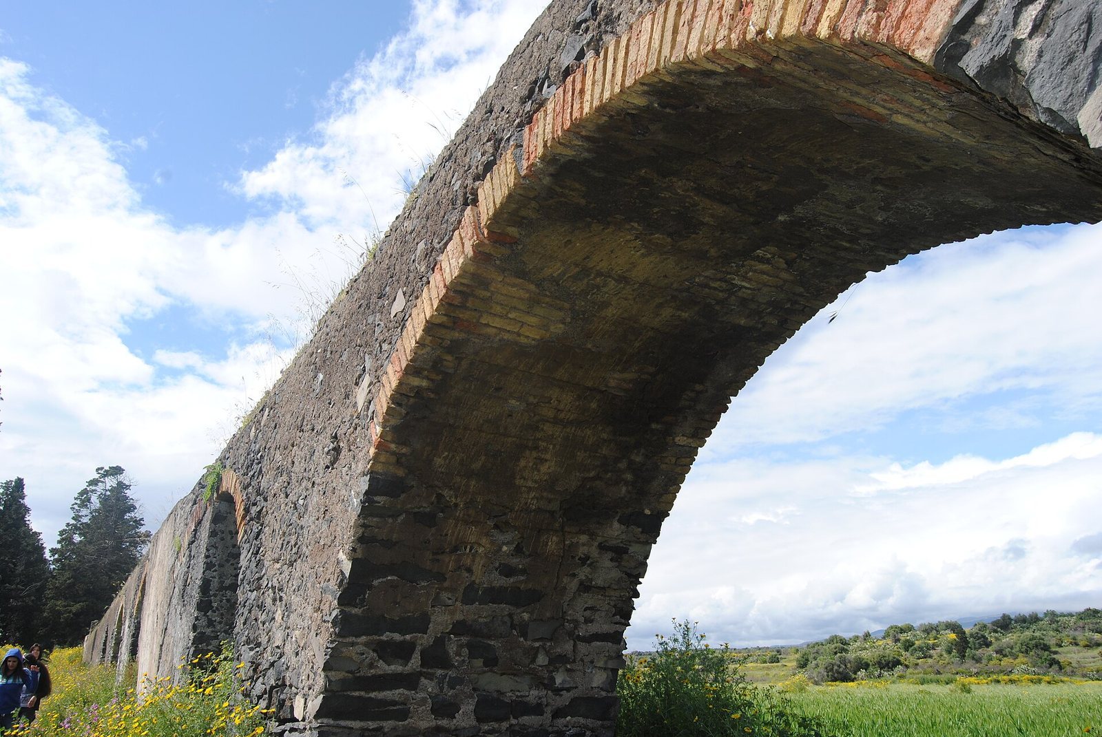
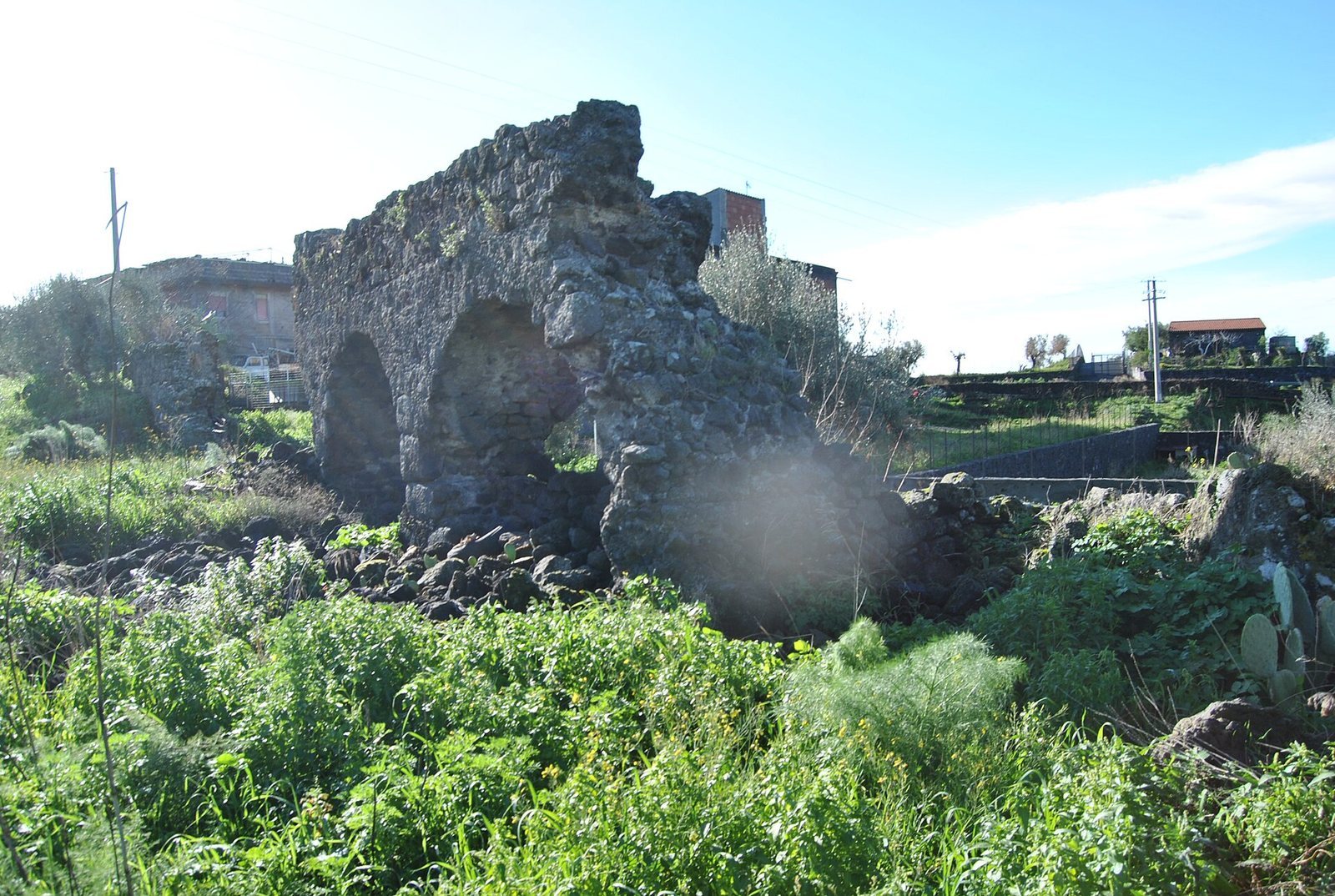
From its spring source near Santa Maria di Licodia, at about 400 metres above sea level, the aqueduct ran roughly 24 kilometres to the Benedictine monastery of San Nicola in Catania. Along the route, its remains take the form of buried conduits, channels on hillsides, masonry walls, and bridges carried on arches. Lava stone formed much of the structure, with other materials used to seal the waterway and build its arched sections.
Water collection and engineering
Spring cistern and conduit
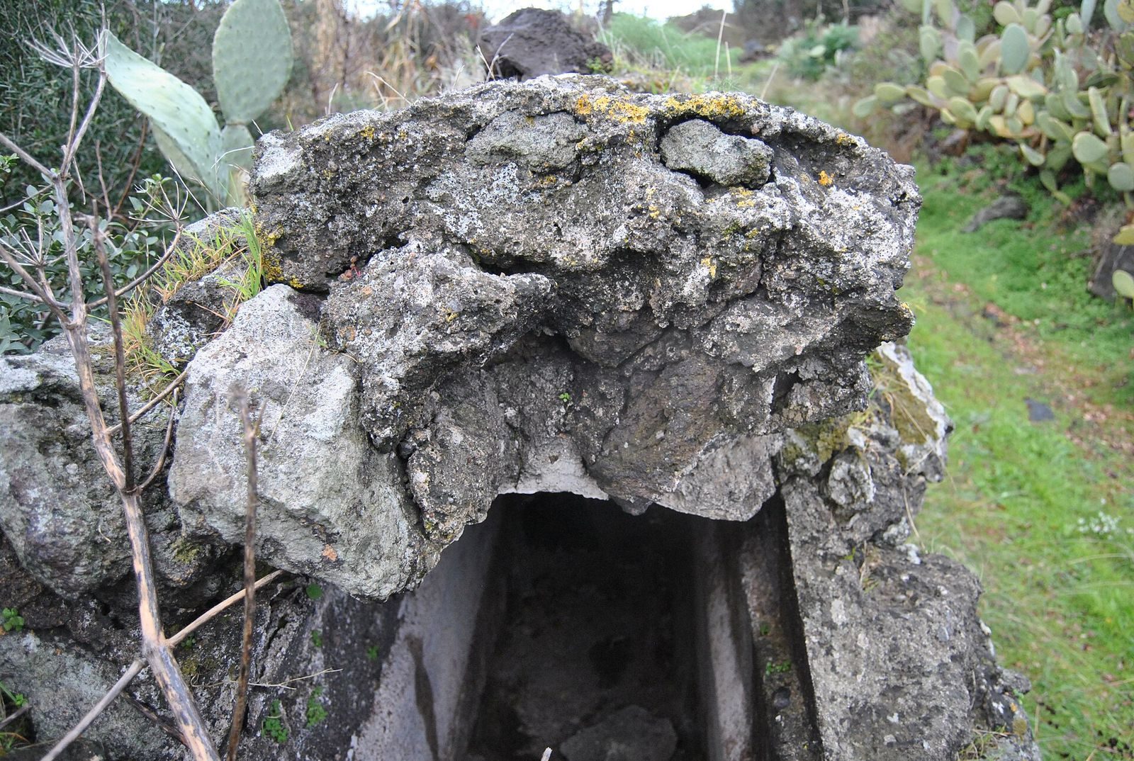
Four springs at Santa Maria di Licodia fed the Botte dell’acqua, a collection cistern whose form is known from Houel’s watercolor. It was a square chamber divided by a central wall and covered with a barrel-shaped vault. Four openings admitted spring water, which then flowed east toward Catania. The conduit measured more than half a metre across and about 1.5 metres high, with a semicircular vaulted roof. A waterproof interior coat of mortar, pozzolana, and crushed terracotta protected the channel. Rough lava stone served chiefly as filling, squared lava-stone pieces formed roofing, and mortar and pozzolana joined blocks and sealed the waterway. Terracotta bricks were used in the arches.
Flow and distribution
Inspection wells along the route provided access for cleaning and maintenance, and many are still visible. Water-distribution structures, including cisterns that filtered or divided the flow, served Santa Maria di Licodia, Valcorrente, Misterbianco, and Catania. The most substantial remains are at Sciarone Castello in Belpasso. A 1997 survey examined almost five kilometres of the Paternò route, about one-fifth of the original course. Across that stretch, the ground descends from 369.50 to about 347.50 metres above sea level, while the watercourse drops from 368.00 to 349.75 metres, a gradient of 0.0043. The estimated flow was 0.325 cubic metres, or 325 litres, per second, broadly consistent with the earlier capacity estimates.
Surviving sections along the route
Cavaliere Bosco and Civita
Three lava-stone cisterns remain at Cavaliere Bosco. They stored water and were also used to water animals. At Civita, buried sections reach the sides of the aqueduct walls, which have been reused to retain a citrus grove. The route there is represented by the walls rather than the covering vault.
Civita-Scalilli and nearby stretches
At Civita-Scalilli, a section runs along a wall and includes the start of an arched stretch, inspection wells, and arch bases. The beginning of the arches was incorporated into a later building behind it. Farther east, a farm track and railway interrupt the course. At Scalilli, arches and other remains form the boundary of a farm track; traces continue beneath lava from Monte Sona, where the SS 284 runs. Porrazzo-Pantafurna has surviving arches and arch bases.
Condotti and Giacobbe-Santa Barbara
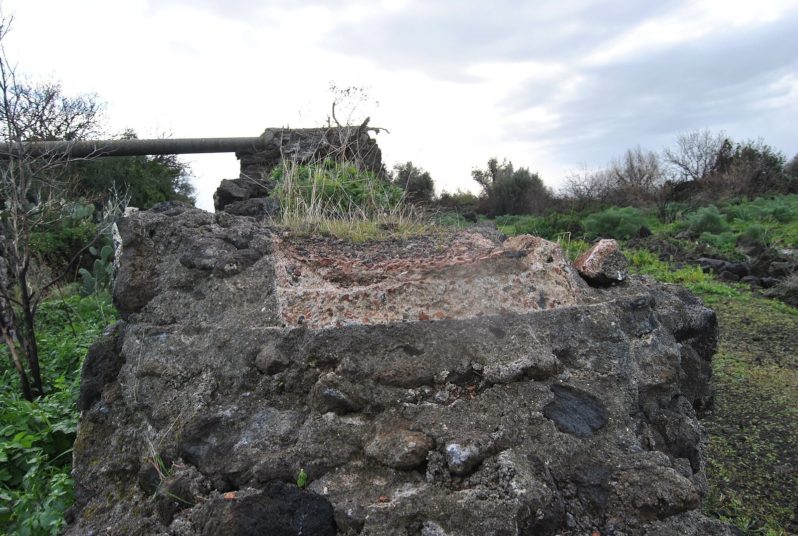
In the Condotti district, a long section survives on a wall or hillside without its covering, and a modern water installation occupies part of it. At Giacobbe-Santa Barbara, a hillside section built on a wall includes blind arches and serves as a property boundary.
Valcorrente
Buried, hillside, and arched sections are present at Valcorrente. The bridge near the Etnapolis shopping centre has been rebuilt in more than one period. Its arch materials and the wear on its lava-stone blocks suggest that one reconstruction took place in relatively recent times.
Misterbianco
At Erbe Bianche in Misterbianco, scant structural remains are thought to belong to a water-distribution cistern. A branch of the aqueduct supplied Roman baths in the town’s Nunziatella district. Remains of the main channel and branch are found at Contrada Tiriti and Via delle Terme.
Catania and the urban distribution system
Approach to the city
Near Catania, a section of the buried aqueduct was found beneath the present Scaringi warehouse on Corso Carlo Marx, running toward Monte Po. At Monte Po, remains lie partly underground and partly on arches. Further buried and arched stretches occur in Nesima, Curìa, Àrcora, Chiusa del Tindaro, and Antico Corso. The name Àrcora derives from the remains of the bridge-aqueduct dismantled in 1556. Gardens at Villa Curia on Corso Indipendenza contain remains associated with the old Casina del Sardo. Near the same road, the Prince of Biscari identified a square, vaulted structure that may have been a water cistern, as well as another structure at the Portuesi vineyard.
Branches and structures in the city
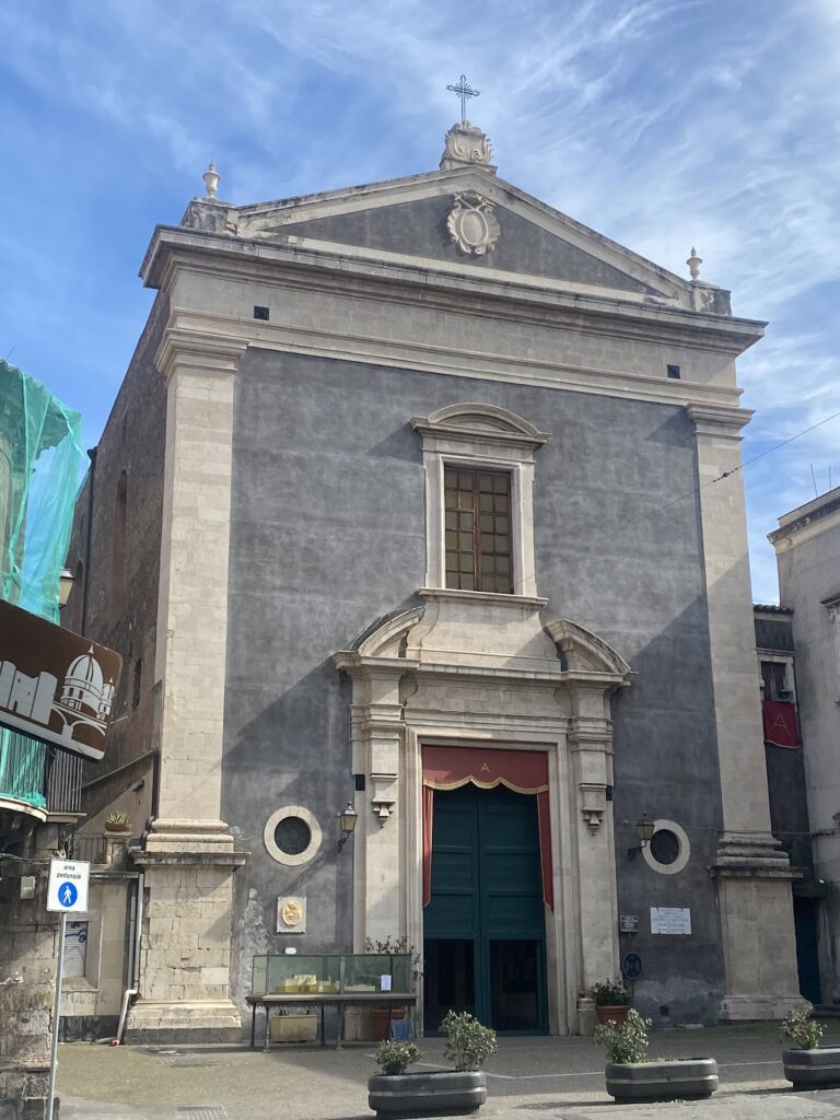
After reaching Catania, the system divided into three branches from a distribution reservoir. One ran southeast toward the theatre, where conduit sections have been found, and then split into smaller channels serving city blocks. Excavations on Via dei Crociferi in the 1980s encountered an urban branch several tens of metres long. A monumental nymphaeum near the Benedictine monastery has been considered as a possible form of the main reservoir, which may instead have stood at Montevergine, the city’s highest point. Roman reservoirs could take the exterior form of monumental fountains.
Lead sheets found inside conduits were kept by Vito Maria Amico in the museum at the Benedictine monastery. Amico thought the sheets had covered the entire aqueduct. The Prince of Biscari instead interpreted them as ancient patches used to seal cracks caused by wear.