Alt-Süns Castle: A Medieval Hill Castle in Switzerland


Site at a Glance
- Rating
- 4.3
- Popularity
- Very Low
- Country
- Switzerland
- Primary era
- Medieval
- Eras represented
- Medieval
- Civilizations
- Holy Roman Empire
- Site type
- Military
- Remains
- Castle
On this page10 sections
History
Alt-Süns Castle is a medieval hill castle near Paspels in the Domleschg valley of Switzerland. Its visible masonry was probably built around 1200, although the circumstances of its foundation are not recorded. The castle probably served as the center of the estates held by the Freiherren von Vaz, a powerful noble family whose territories included the Domleschg valley.
The Vaz lordship
The lordship of Paspels and Süns was recorded in 1237, while the castle itself appeared in a document of 1285 as castrum Sunnes. These references place Alt-Süns within the territorial organization of the Vaz family during the medieval period.
After Donat von Vaz, the last male heir of the family, died in the late 1330s, the castle and its lands passed to the Counts of Werdenberg-Sargans. In 1365, Ursula von Werdenberg, who was born a Vaz, and her son Johann temporarily pledged the property to the House of Matsch, another noble family active in the eastern Alps. The Werdenbergs retained the right to recover it, and the property returned to them toward the end of the fourteenth century.
Destruction and abandonment
Alt-Süns was specifically named in a treaty of 1437 between Schwyz, Glarus, and Werdenberg-Sargans. In 1451, the Schams conflict, an uprising by communities of the Schams valley against Werdenberg-Sargans, brought the castle’s active history to an end. The attackers demolished its south-west corner, leaving the castle unusable. After peace was established in 1452, the Counts abandoned it, and Alt-Süns remained a ruin.
Remains
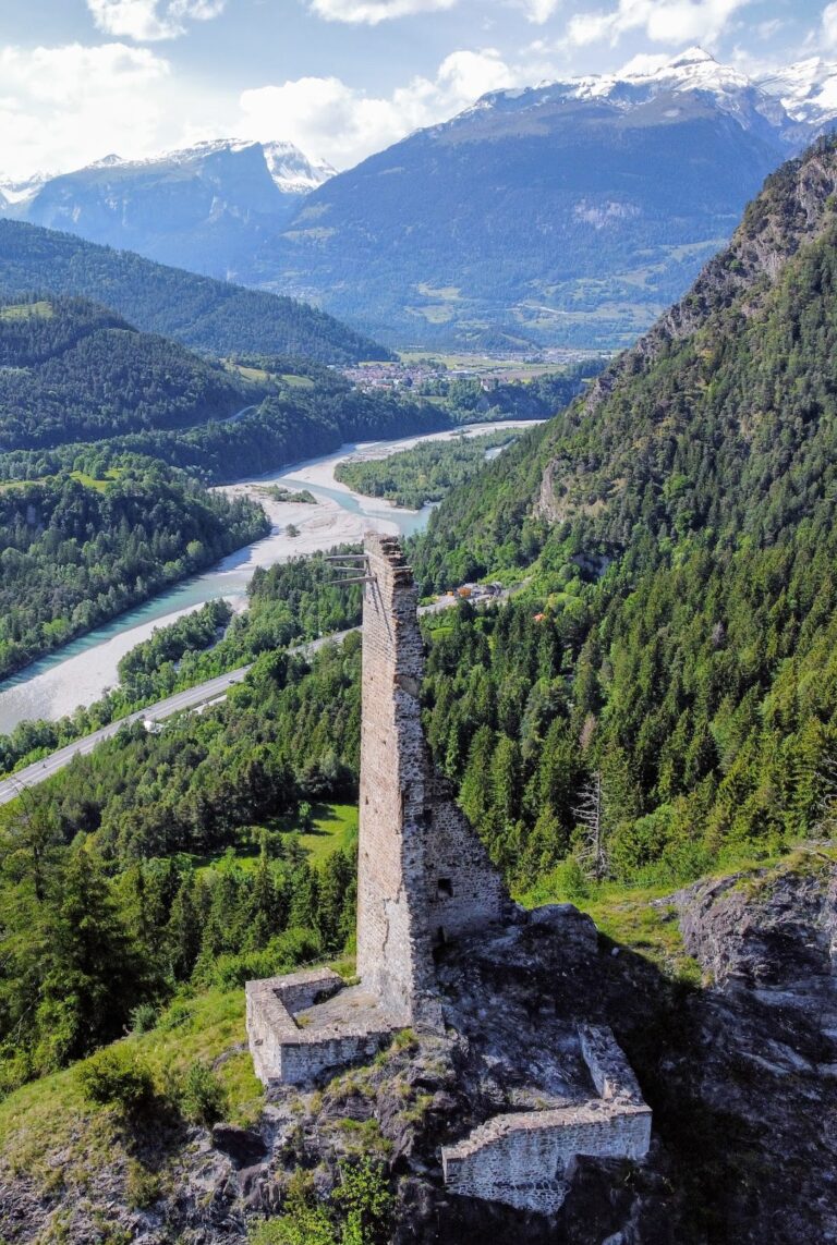
Alt-Süns stands at about 784 metres above sea level on a small hill near Paspels. The castle occupied an elongated enclosed area protected by a strong ring wall. Only limited sections of that wall survive. A lower, rubble-covered plateau on the south-west side may have contained stables or other service and economic buildings. Traces of an outer bailey remain on the western side, separated from the main castle by a ditch. Neu-Süns Castle, also known as Canova, lies nearby to the south.
Residential tower
Square tower and interior
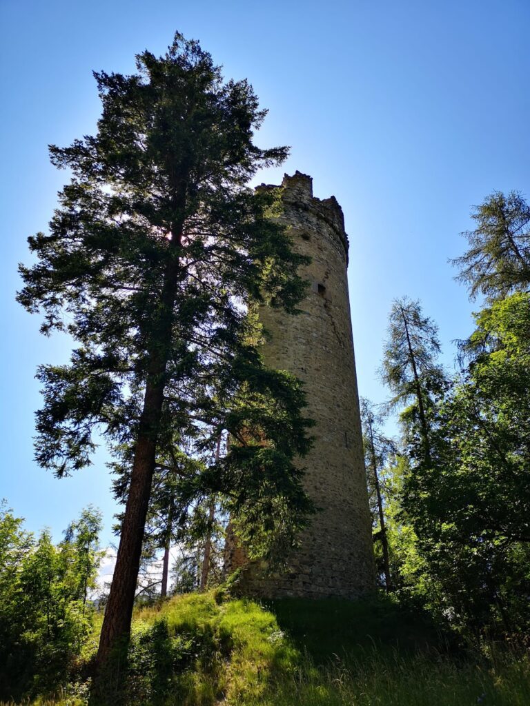
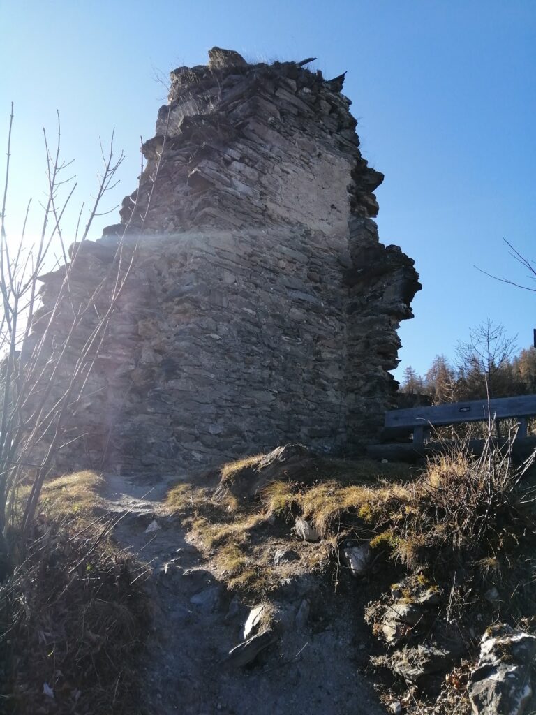
A massive square residential tower stood at the highest point on the eastern side of the site. It measures approximately 12 by 12 metres, with walls about 2 metres thick. The tower survives to roughly its original height along two and a half sides, while the south-west corner was demolished in 1451.
The tower originally contained three stories. A fourth was added during a later building phase, at the same time as the ring wall. Wooden floors separated the three upper levels, and the residential rooms occupied the third and fourth stories. A high entrance was positioned at the south-west edge, where traces remain beside the demolished corner. The uppermost story also preserves evidence of a wooden gallery, while traces of plaster survive on the inner wall faces.
Latrines and masonry
Each story had a projecting latrine structure on its north side. These medieval toilet chambers extended outward from the wall, and several partly survive. The lowest latrine was later blocked up. The tower also displays different masonry treatments from one level to another. The lower stories use roughcast masonry, the higher sections have ruled mortar joints, and the uppermost part is built of rubble and pebbles.
Walls and outer areas
Ring wall
A younger section of the ring wall adjoins the tower on its western side. It was constructed from large pebbles arranged in opus spicatum, a herringbone pattern formed by setting stones at alternating angles. Part of this wall survives, including a portion of the eastern side of the enclosure.
Outer bailey and lower plateau
The western traces of the outer bailey and the ditch that separated it from the main castle define the approach to the enclosed core. The lower south-western plateau is covered with rubble and may represent the area once used for stables or other economic and service buildings.
The hill lies within the biological protection zone known as the Dry Sites in Outer Domleschg. This protected setting prevented the construction of a planned new footpath to the ruin, while further conservation depends on secure access and additional financial support.
Nearby sites