Akatsuchiyama Kofun: A Keyhole-Shaped Burial Mound in Japan
Site at a Glance
- Rating
- 4.2
- Popularity
- Very Low
- Country
- Japan
- Primary era
- Classical
- External website
- Open
- Eras represented
- Classical
- Civilizations
- Yamato
- Site type
- Burial
- Remains
- Burial Mound
On this page6 sections
History
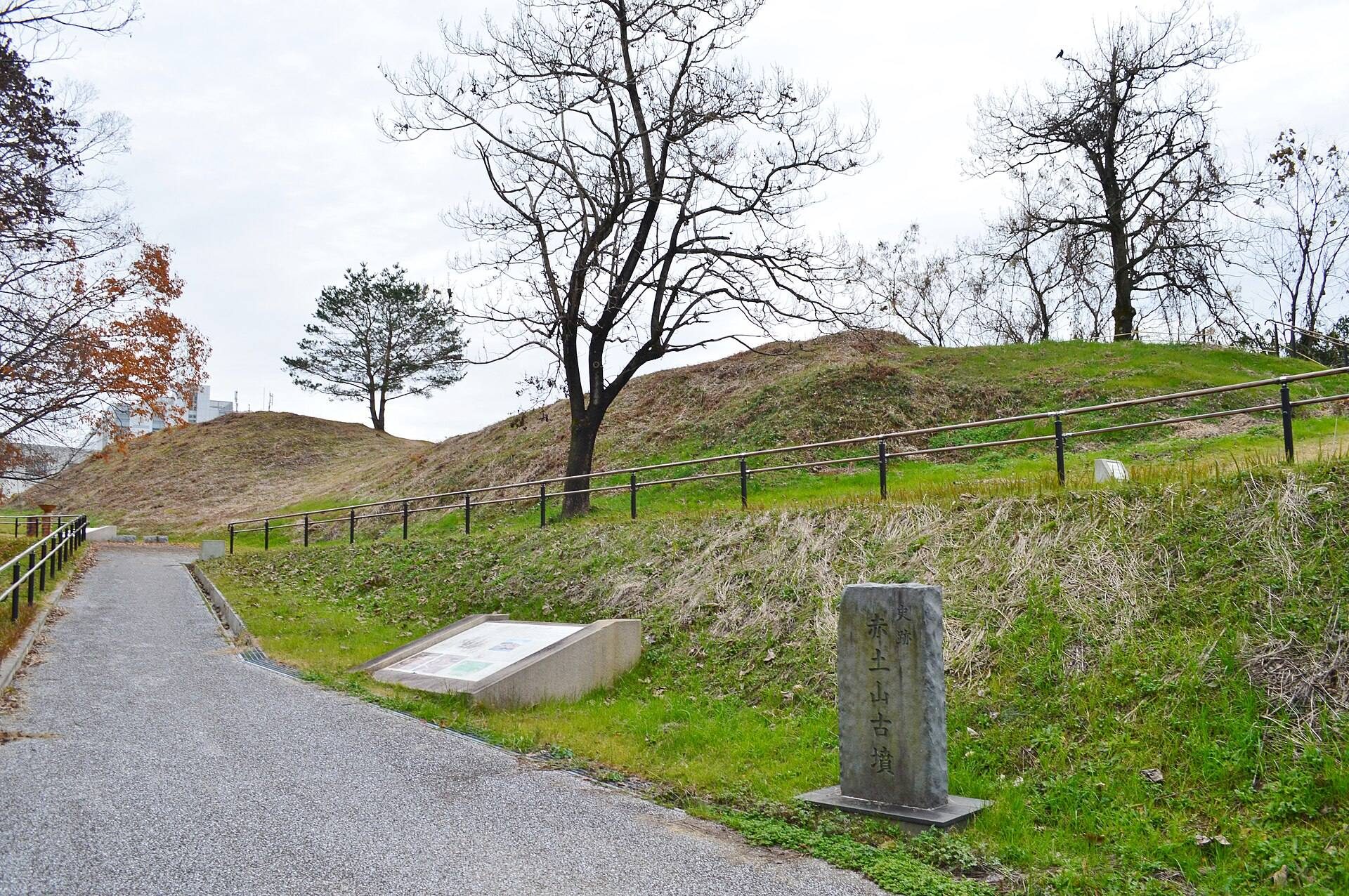
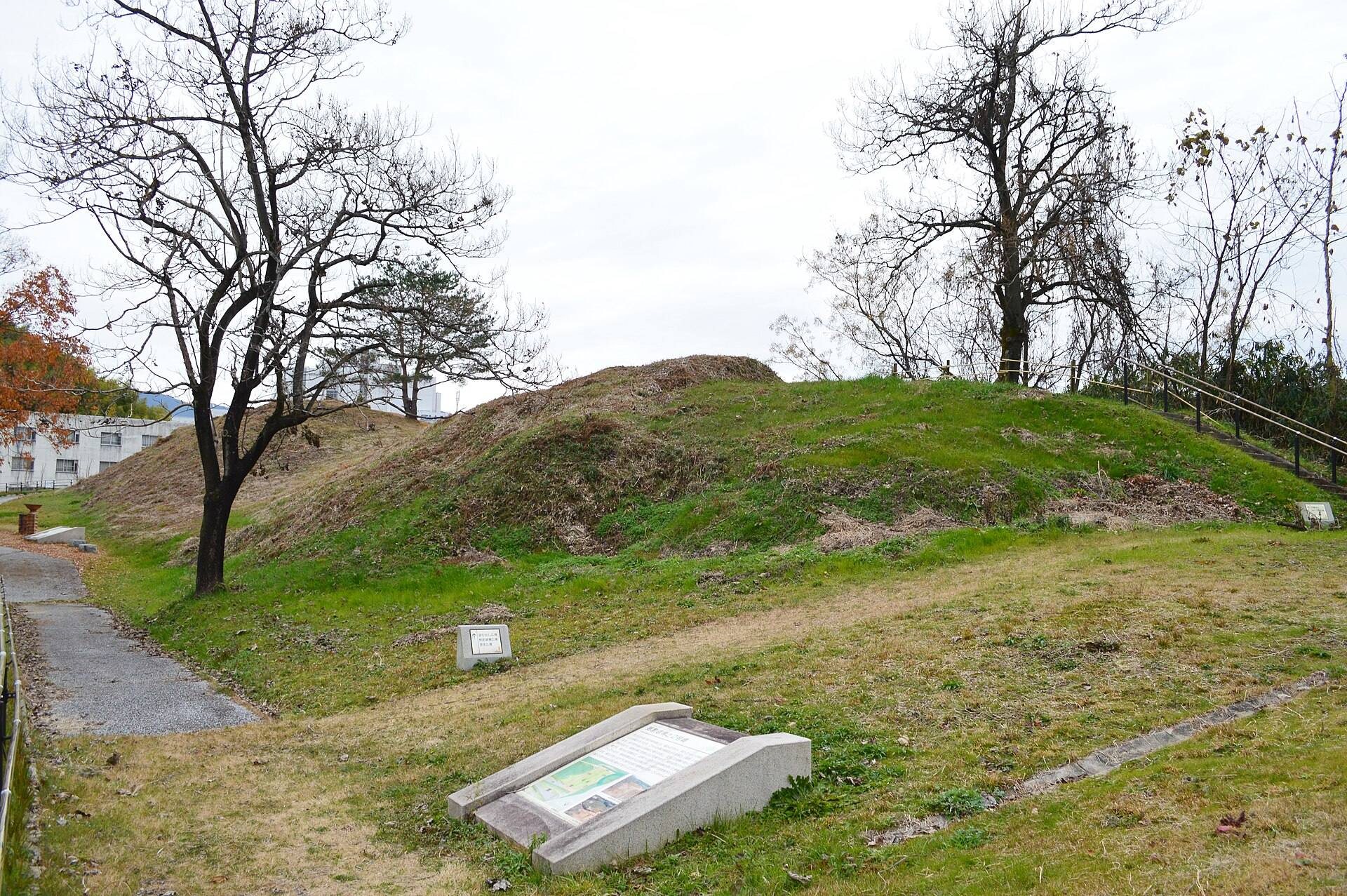
Akatsuchiyama Kofun is a large burial mound in Tenri, Nara, Japan, built around the end of the fourth or beginning of the fifth century during the transition from the late early Kofun period to the beginning of the middle Kofun period. A kofun is a large Japanese burial mound built chiefly between the third and seventh centuries. The tomb stands at the southern end of the Todaijiyama Hills, on the eastern edge of the Nara Basin, and forms part of the Todaijiyama Kofun Group, which contains five keyhole-shaped tombs and about 40 to 50 circular and square mounds.
Construction and early damage
Akatsuchiyama Kofun may have been built for a member of the ancient Wani clan, a powerful lineage associated with the area around present-day Tenri. This remains an historical inference rather than the identification of a known individual. Soon after the mound was completed, repeated landslides caused the southern side to collapse. The damage later complicated the interpretation of the tomb’s original shape.
Housing development in 1987 levelled the front-end area of Akatsuchiyama Kofun. The same work removed about half of Akatsuchiyama No. 2 and part of Akatsuchiyama No. 3. The surviving mound of Akatsuchiyama No. 2 and Akatsuchiyama Kofun were designated together as a National Historic Site on December 15, 1992.
Investigations and preservation
Nine archaeological investigations took place at the mound. The first three were carried out between fiscal years 1987 and 1990, followed by the fourth through eighth between fiscal years 1998 and 2000. A ninth investigation accompanied site-improvement work in fiscal year 2007. The mound was initially classified as a square-ended tomb, but examination of the constricted section, particularly in 1999, showed that it was keyhole-shaped. A landslide scarp had previously been mistaken for part of the original design.
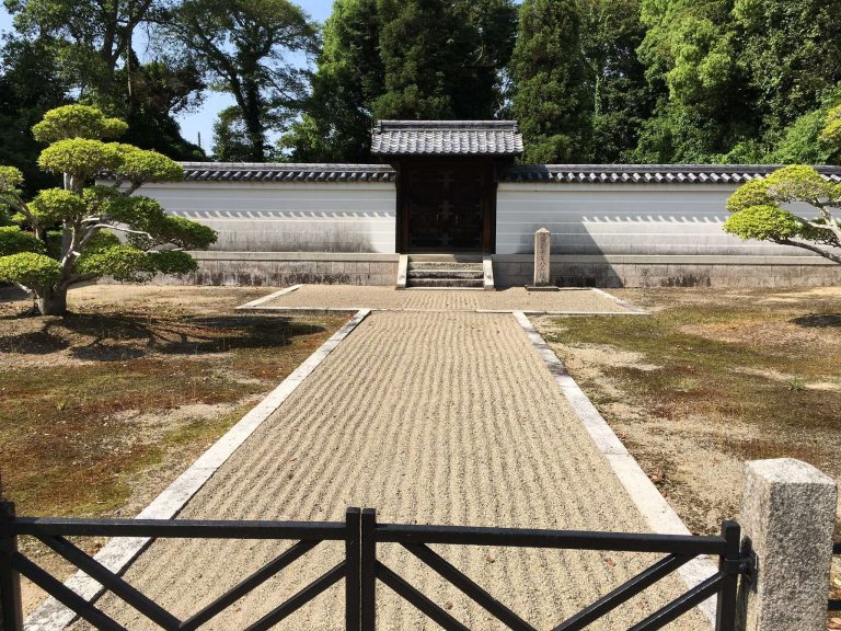
Site-improvement work continued between fiscal years 2006 and 2009, and the preserved site was opened as a park in 2010. These investigations and conservation measures established the surviving form of a tomb whose southern side and eastern projection had been altered by natural damage and later development.
Remains
Mound form and construction
Akatsuchiyama Kofun has a keyhole plan, combining a square front section with a circular rear section. The front faces west, while a projection, possibly a small platform, extends from the eastern end of the rear section. This gives the mound an unusual outline distinct from the standard keyhole form. More than 100 meters of the mound survives. The rear section measures approximately 44 by 33 meters and has rounded corners, but the end of the eastern projection was destroyed, so the original total length cannot be determined.
The mound was constructed in two stages and covered with stone revetment, a layer of stones protecting and stabilizing the earthen slopes. Rows of fired-clay haniwa, objects placed on or around burial mounds, stood across the mound. Cylindrical examples formed boundary lines, including morning-glory-shaped pieces, and some were found still upright in their original positions. The front end was separated from the surrounding ground by a trench rather than a surrounding moat.
Haniwa installation and burial evidence
Figurative haniwa included examples shaped like lids, cuirasses, and shields. On the southern side of the rear-section projection, a ritual installation comprised 11 house-shaped haniwa and one enclosure-shaped haniwa. The figures were arranged across a projection and winding valleys represented with stone revetment. The arrangement has been interpreted as a possible representation of an elite residence.
The burial facility itself has not been directly investigated. It is presumed to have been a burial facility coated with clay, and the landslides are thought to have destroyed it. Excavation of soil accumulated along the southern side of the rear section produced fragments of the presumed clay coating, vermilion, stone arm ornaments, and stone replicas. Haji ware pottery was also found among the excavated materials.