Aguntum: A Roman Municipal City in Austria
Site at a Glance
- Rating
- 4.6
- Popularity
- Low
- Country
- Austria
- Primary era
- Classical
- External website
- Open
- Eras represented
- Classical
- Civilizations
- Roman
- Site type
- City
On this page14 sections
History
Aguntum was a Roman settlement and mining centre in Austria, about four kilometres east of Lienz in the Drau Valley. It developed as a trading community among the Laianci, a local Alpine people whose name is associated with the later name of Lienz, and became an autonomous Roman city under Emperor Claudius in the first century AD.
Origins and Roman development
The city grew where the valley routes met roads leading toward the gold deposits of the Hohe Tauern. An early trading vicus, or small local settlement often linked to commerce or a roadside location, may have stood here. One theory connects Aguntum with a roadside station on the Via Iulia Augusta, the Roman road linking northern Italy with routes across the eastern Alps. Archaeological evidence for occupation of the later urban area during the reign of Augustus, Rome’s first emperor from 27 BC to AD 14, has not been established. The earliest Roman remains identified beneath the baths are instead a two-room wooden structure from the mid-first century BC.
The settlement drew wealth from the region’s mineral resources. Iron, copper, zinc, and gold were worked locally, and metalworkers produced goods for export. Timber, dairy products, and mountain crystals from the Tauern region also entered the local economy. Aguntum was connected with the Via Iulia Augusta and with a route through the Puster Valley toward the wider Alpine road network.
During the reign of Claudius, from AD 41 to 54, Aguntum became Municipium Claudium Aguntum. A municipium was an autonomous Roman town whose inhabitants held Roman civic status while the town remained within a larger provincial administration. Inscriptions refer to the cultores Genii municipii Agunti, people associated with the protective spirit of the municipality, confirming the city’s civic status.
Territory and prosperity
Aguntum’s territory covered much of present-day East Tyrol and the Puster Valley with its side valleys. Its presumed sphere of influence reached north toward the Felbertauern, east toward the Kärntner Tor, west toward Mühlbach in the Puster Valley, and south along routes leading toward the Gail Valley, the Kreuzbergsattel, and possibly Enneberg.
At least two centuries of prosperity followed the city’s elevation to municipium. The large bath complex began in the first half of the first century AD, while the city wall and the Atrium House were built during the second half of that century. The Atrium House was later rebuilt by successive owners from about AD 100 to 400, reflecting a long period of continued occupation and investment.
Late Roman decline
Aguntum remained inhabited at least into the fifth century AD. From the third century onward, people increasingly settled at nearby Lavant, whose elevated position offered greater protection from hostile incursions than Aguntum’s low-lying site.
Two destructive episodes have been associated with late Roman invasions. An ash layer in the bath complex contained the remains of a man and a child and has been linked with a sack by forces associated with Radagaisus and Alaric. Radagaisus was a Gothic war leader who invaded the Western Roman Empire in the early fifth century, while Alaric was the Visigothic king connected with the sack of Rome in AD 410. A higher ash layer contained a coin dated to AD 452 and has been associated with a second sack attributed to Attila and the Huns.
After the collapse of the Western Roman Empire, Aguntum came under Ostrogothic control and was later contested by Franks, Byzantines, and Bavarians. The city was destroyed after a battle fought at Aguntum in AD 610 between Garibald II of Bavaria and the Avars, a powerful steppe-origin people who had established a polity in central Europe during late antiquity. Lavant also suffered a major fire. The surviving Roman population sought refuge in hilltop fortresses, while new settlers occupied the fertile valley.
Bishopric and rediscovery
An Aguntum bishopric was founded around AD 500 as a suffragan of the Archdiocese of Aquileia, a major Roman ecclesiastical centre in northern Italy. A suffragan bishopric was a diocese subordinate to a metropolitan archdiocese. The bishopric was suppressed around AD 600, and its ecclesiastical centre moved to nearby Lavant. No further bishops were appointed in the area after Aguntum’s destruction. The bishopric was formally revived as a Catholic titular see in 1968, retaining the name as a title rather than restoring a residential diocese.
Flooding and mudflows from the Debantbach repeatedly covered the ruins. They remained visible into the sixteenth century, when gravestones bearing an unknown script were noted and local tradition described the remains as a pagan city. The identification of the site with Aguntum, proposed by the historian and epigraphist Theodor Mommsen, was confirmed in 1882 when a marble slab inscribed with the city’s name was discovered.
Excavation and conservation
Excavations began in the eighteenth century. The University of Vienna and the Austrian Archaeological Institute undertook further work from the early twentieth century. In 1991, responsibility passed to the Institute of Classical and Provincial Roman Archaeology at the University of Innsbruck. Archaeologists from Innsbruck have continued annual summer excavations, expanding the investigated area and studying both structures and smaller finds such as coins.
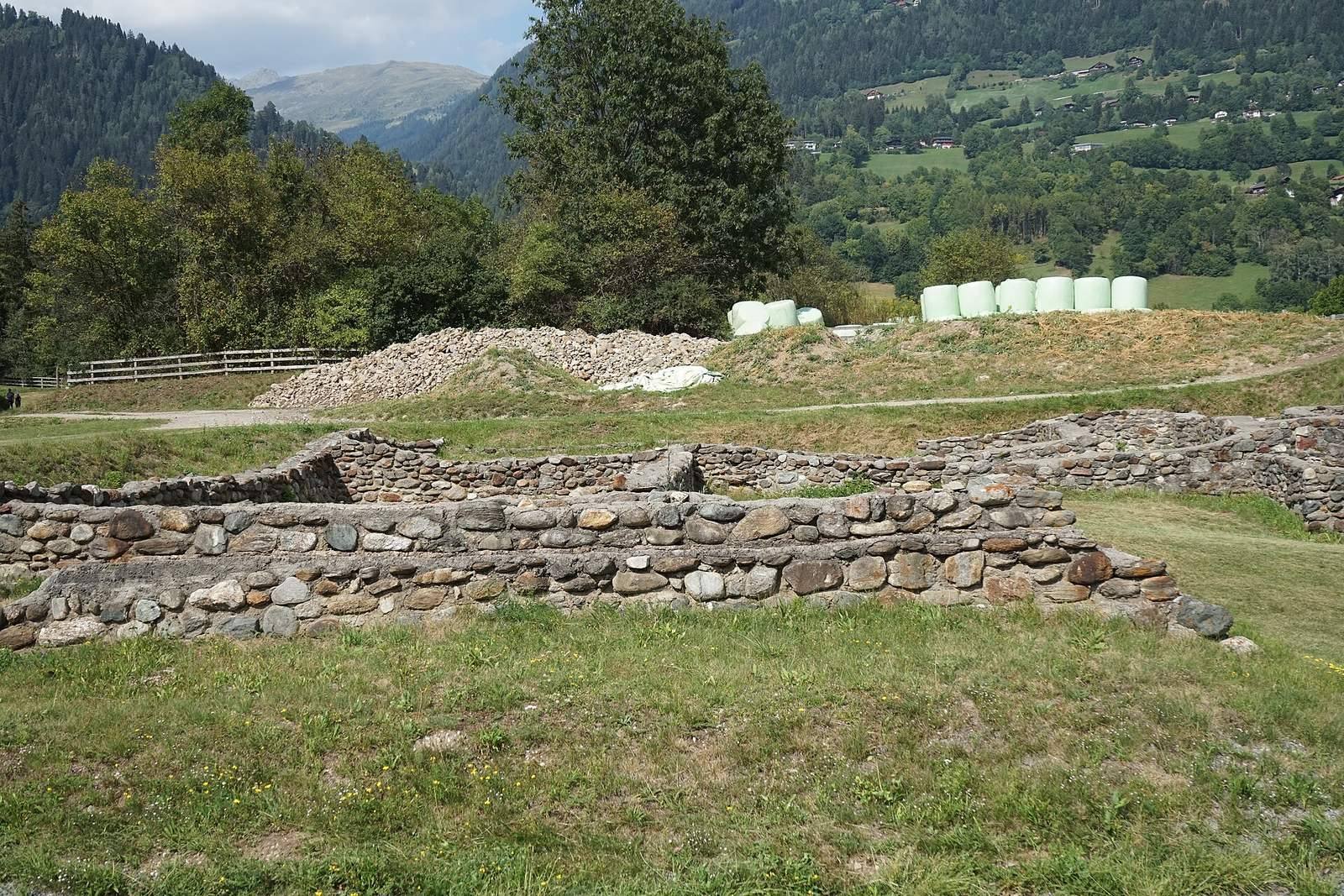
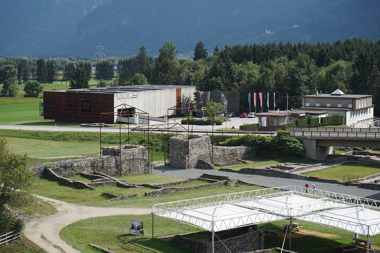
The excavated area became an archaeological park in which the Roman remains are conserved for future generations. Most buildings survive mainly as foundation walls rather than complete reconstructions. A protective structure erected over part of the Atrium House in 1999 was renewed from 2006 and developed into a museum, which opened in June 2005. The museum stands across the federal road from the excavation area and has an exhibition space of 1,250 square metres.
Remains
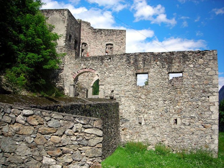
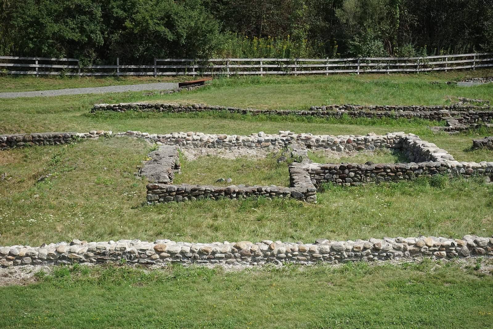
The archaeological area covers approximately 30,000 square metres at an elevation of about 667 metres. Its surviving remains show a Roman town organized around an east-west principal street, public and commercial buildings, residential complexes, workshops, baths, and a defensive wall. Most structures are preserved at foundation level, while selected sections of the wall and gate have been conserved or reconstructed at greater height.
Streets and civic centre
The Decumanus Maximus, the principal east-west street of a Roman town, ran through Aguntum’s main gate. Covered sidewalks bordered its northern side. The Atrium House, Forum, and Macellum stood along this route, forming a central sequence of residential, administrative, and commercial buildings.
The Forum and its associated complex occupied an area of approximately 3,000 square metres north of the Decumanus Maximus. The complex functioned as a trading centre and may also have contained public administrative offices, including those used by Aguntum’s two mayors. A stone structure found at the centre in 2019 measures about 6 by 5 by 1 metre and is probably the remains of a first-century temple.
Residential architecture
The Atrium House was the largest known residence at Aguntum. This elegant Mediterranean-style villa covered several thousand square metres and was organized around an atrium, a central interior court or hall surrounded by residential and representational rooms. Secondary living and sleeping rooms surrounded the central space. A marble basin found in the middle of the garden is displayed in the museum; descriptions of the atrium also include a fountain and a marble table. A modern protective building covers the central part of the house, safeguarding the remains while partly obscuring them.
Commercial buildings
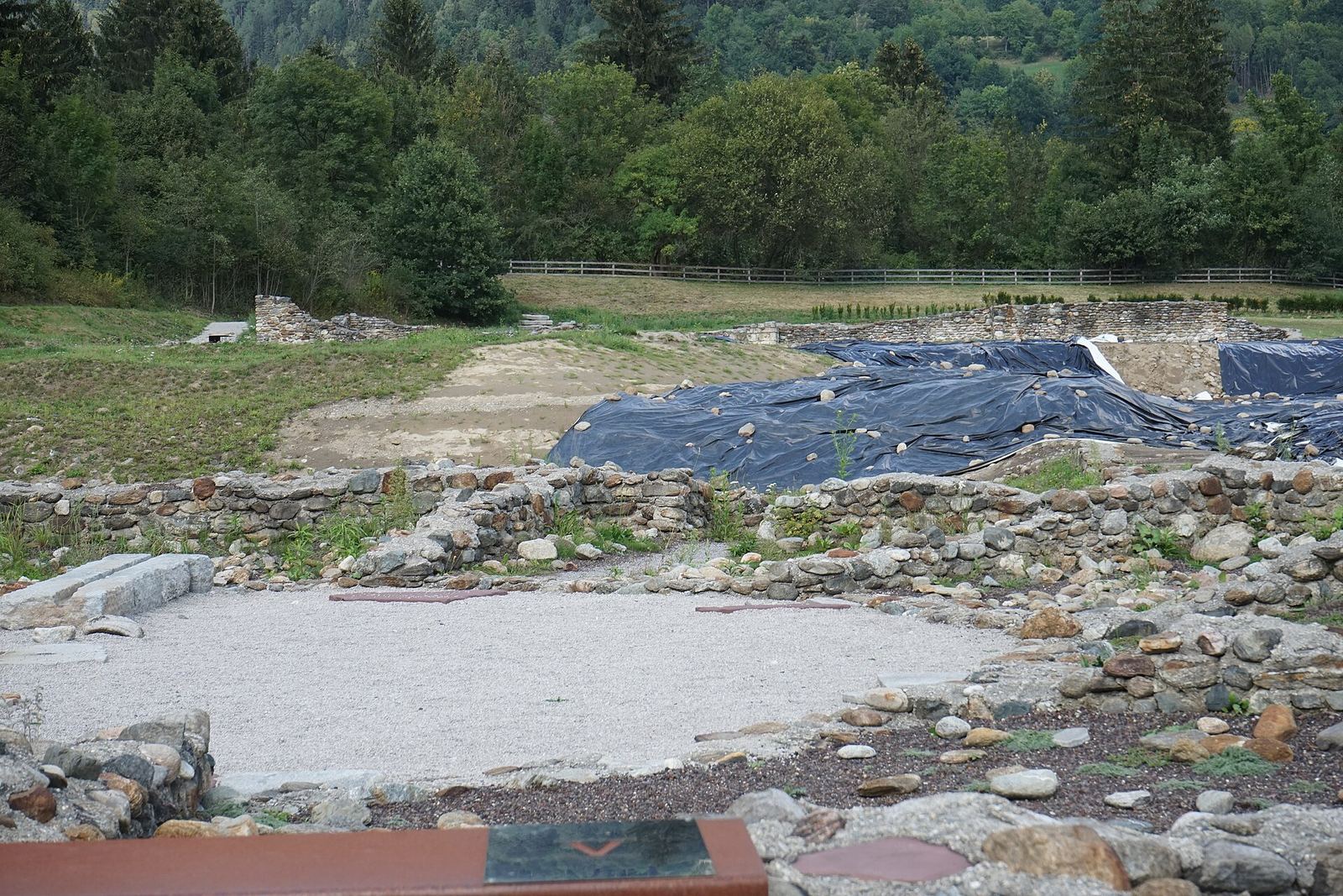
The Macellum, a Roman market building associated with food sales such as meat and fish, was exposed at the western edge of the excavation area in 2006. Its unusual design combines a square exterior with a circular interior divided into chambers and containing a central decagonal element. The building was probably a market hall for meat, fish, oysters, and other delicacies.
The circular interior was paved with slabs of multicoloured marble. A narrow channel crosses the centre of the floor. It was probably inserted after the building had fallen out of use, although its purpose remains uncertain.
A large assembly hall discovered in 2018 covers approximately 360 square metres. Early interpretations identify it as a building probably used for legal proceedings. Marble decoration and underfloor heating formed part of its design.
Thermal baths and craft district
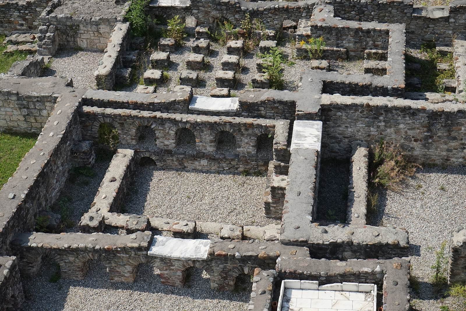
The large thermal bath complex occupies the north-western part of the excavation area. It served public bathing as well as social and cultural activities. Initially built during the reign of Tiberius, or more broadly in the first half of the first century AD, it was destroyed by fire late in that century. The baths were rebuilt in a more contemporary style and enlarged during the second and third centuries. In a later phase, the building’s orientation was rotated by 180 degrees, placing its entrance on the west near the Debantbach.
The baths contained marble door thresholds, marble-clad walls, heated pools, wall paintings, mosaic floors, and numerous marble basins set away from the walls. This arrangement allowed hot air to circulate beneath and around the basins. The heating system used a hypocaust, which circulated hot air beneath floors and around heated walls or basin structures. Valuable objects and jewellery recovered from drains indicate the elaborate furnishing of the complex and the wealth of some of its users.
East of the baths lay an extensive craftsmen’s district made up of two building complexes. Three buildings have been uncovered, with workshops for several industries alongside tiled roofs, attics, underfloor heating, living rooms, and kitchens. Large stones protected the corners of several buildings, probably reducing damage from carts moving through the narrow streets.
City wall and main gate
The city wall was approximately 400 metres long and 7 metres high. Built from stone and mortar, it used two parallel walls with an earth-and-rubble filling between them and was about 2.2 to 2.5 metres thick. Excavated stretches extend approximately 30 metres north and 75 metres south of the main gate. Material carried down from the surrounding mountains by the Debantbach may have buried further sections.
The wall’s date remains debated. Materials in its filling have been associated with the reign of Hadrian, from AD 117 to 138, while the construction style has also been assigned to the third century AD. Suggested purposes include protection during the Marcomannic Wars, second-century conflicts between Rome and Germanic and allied peoples, defence against the Alemanni, and protection from flooding and landslides. Another interpretation sees an originally representational structure that was later strengthened for defence.
The main gate is approximately 9.5 metres wide and contained two passages. Towers flanked the entrance, with doors on their outer sides, a design suggesting that they had little or no substantial defensive function. The gate area survives or has been reconstructed to heights of about 3 to 4.5 metres, while sections of the wall reach approximately 5 to 6 metres.
Finds and nearby Lavant
The museum houses objects recovered during excavation, including painted funerary slabs, ceramic masks, bronze objects, coins, and reconstruction panels. Together with the surviving foundations and standing masonry, these finds help interpret Aguntum’s civic buildings, commercial activity, domestic life, and changing history.
Nearby Lavant preserves remains from the period when it became a refuge and settlement as Aguntum declined. Archaeological features there include a castle with an episcopal residence, a Roman temple with tombs and votive altars dating from the second and third centuries, a fortified gate flanked by two towers, and an early Christian church built in four phases during the fourth century.
Observation structure
A modern steel observation tower stands in the northern part of the excavation area. Built in 1997, it is approximately 18.9 metres high and contains 91 steps, five intermediate landings, and an observation platform about 15 metres above ground.