Château de Turquestein: A Ruined Medieval Fortress in France


Site at a Glance
- Rating
- 4.1
- Popularity
- Very Low
- Country
- France
- Primary era
- Medieval
- Eras represented
- Medieval
- Civilizations
- Holy Roman Empire
- Site type
- Military
- Remains
- Castle
On this page11 sections
History
Château de Turquestein is a ruined medieval hilltop fortress in Turquestein-Blancrupt, France, built during the medieval period to monitor the road to Donon. Probably established around 965, with construction broadly placed between about 900 and 1000, it occupied a steep, elevated position in the Forest of the Countess, within the former Duchy of Lorraine. Its high walls and difficult approach gave it a reputation for being nearly impregnable.
From Toul to Metz
In 1002, the bishops of Toul granted the castle as a fief, meaning a fortified estate held in return for allegiance and service, to the Barons of Blâmont under Ulrich II. The bishops of Metz later reclaimed the castle and its lands in 1286. These ecclesiastical territories were governed by prince-bishops, who exercised both religious and territorial authority.
The fortress also became involved in the conflict between John I of Apremont, Bishop of Metz, and Count Simon of Leiningen. The peace settlement of 1227 left the Bishopric of Metz with the County and Bailiwick of Metz and their associated castles, including Turquestein, while the County of Dagsburg passed to Simon of Leiningen as a fief. John of Apremont then ordered the castle walls to be restored, and Bishop Jacob of Lorraine strengthened the fortress again in 1252.
The Lordship and Destruction
Château de Turquestein became the seat of the Lordship of Turquestein. Around 1305, this territory reached as far as the Vezouze and included settlements along the White Saar and Red Saar, except for places belonging to the County of Dagsburg. Its listed dependencies included Aspach, Frackelfingen, Hattigny, Landangen, Lascemborn, Lörchingen, Neuwiller, Niederhofen, and Wasperviller.
Armed bands plundered and burned the surrounding region from the beginning of the seventeenth century. In 1634, Château de Turquestein was demolished on the orders of Cardinal Richelieu, a leading French statesman whose policies strengthened royal authority under Louis XIII. The fortress has remained a ruin since that destruction, although the ruins still served as a forester’s residence in the late nineteenth century.
Religious Memory
In 1797, Joseph Ludwig Colmar, Louise Humann, and Madame Breck made a prayer pact among the ruins. Colmar was a French Catholic bishop, while Humann and Breck were Catholic participants in the pact. The Congregation of Notre-Dame de Sion developed from this act of prayer. A commemorative altar was erected among the ruins in 1954, incorporating a cross found at the site, and a plaque marking the bicentenary of the congregation was added in 1997.
The castle is listed in France’s General Inventory of Cultural Heritage.
Remains
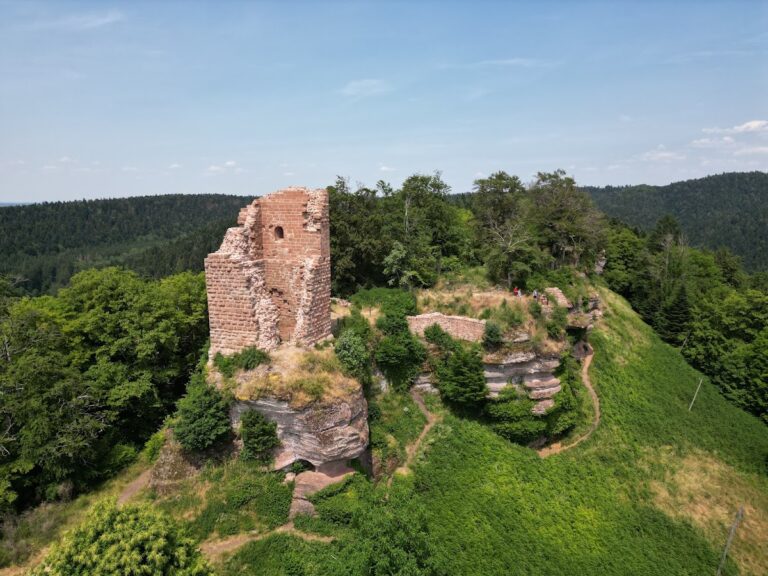
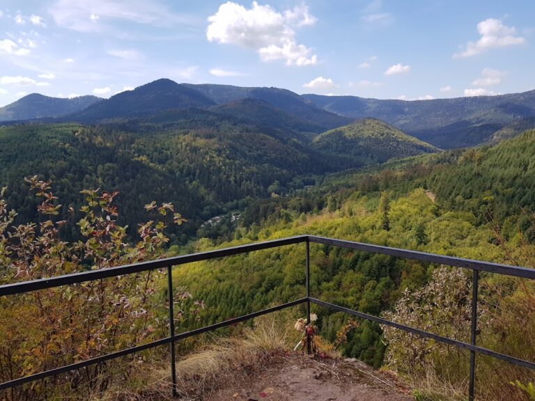
The fortress occupies an irregular, elongated triangular rocky plateau about 458 metres above sea level. The plateau rises above the valley of the White Saar near the river’s source, and Château de Turquestein lies within sight of Donon. The complex was arranged with a first fortified enclosure and a second enclosure surrounding the castle proper. A later outer bailey approached the western side and created a defensive forecourt between fortified areas.
Walls and Defensive Enclosures
High Court Curtain Wall
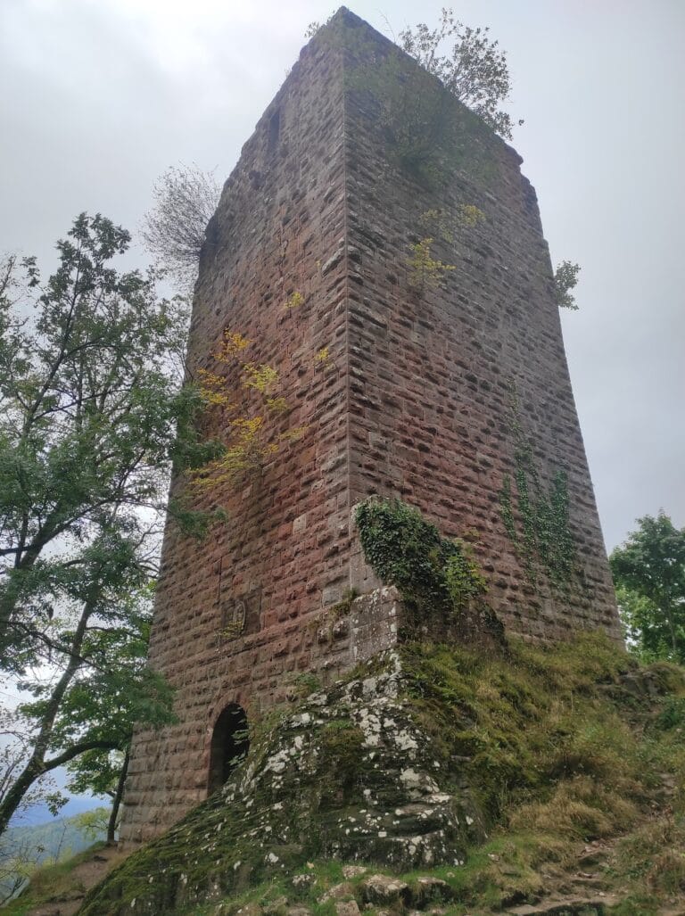
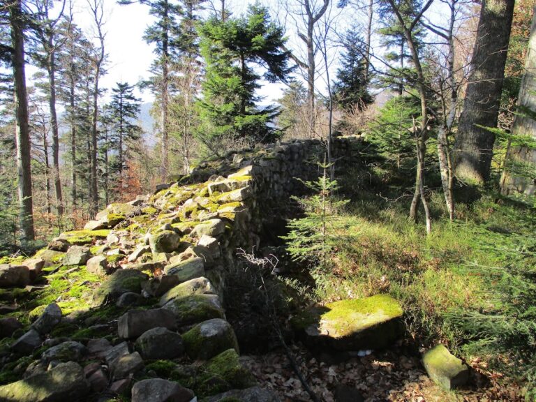
The surviving curtain wall, a fortified wall linking or enclosing defensive structures, blocked access to the high court. It rises approximately 12 metres and is built of bossage masonry, whose stone blocks project outward in rough or strongly bevelled faces. These remains are attributed to the very end of the twelfth century. The northern section has collapsed, while only a few other fragments survive from the main castle; much of the rest of the complex has been levelled into ruins.
Outer Bailey and Tower
The western approach passed through a later outer bailey that functioned as a zwinger, a defensive forecourt where attackers could be fired upon from the surrounding walls. A square tower projected from the first enclosure and protected the approach to the first gatehouse.
Entrances and Rock-Cut Features
Inner Castle Entrance
Part of the inner entrance system survives. It includes the left gate pivot socket, the stone bearing in which the gate’s pivot turned, and the beginning of the arch over the main carriage entrance.
Posterns and Cellar
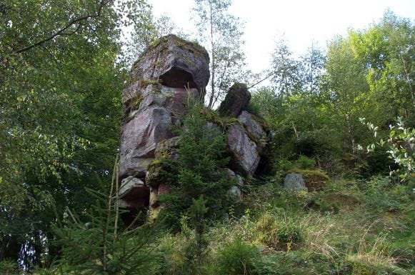
A partially collapsed cellar within the enclosure contains a blocked window that protected a postern, or small secondary entrance, positioned directly at the foot of the rocks. Another postern was associated with a masonry relieving arch that bridges a cleft in the rocky plateau. Anchoring traces in the rock remain beside the arch, which survives as the remnant of that entrance.
The vaulted cellar, reportedly intact several years earlier, has also suffered collapse. Among the wider ruins stands the commemorative altar erected in 1954, incorporating the cross recovered from the site.
Nearby sites