Burg Erprath: A Medieval Lowland Castle in Germany


Site at a Glance
- Rating
- 3.4
- Popularity
- Very Low
- Country
- Germany
- Primary era
- Medieval
- Eras represented
- Medieval
- Civilizations
- Holy Roman Empire
- Site type
- Military
- Remains
- Castle
On this page7 sections
History
Burg Erprath is a medieval lowland castle and motte in Neuss, Germany, whose origins are uncertain. Its inception is dated to 1166, while its construction is placed in the thirteenth century. Built on relatively level, wet ground rather than a natural elevation, the castle became the center of an independent lordship associated with the Erprath family.
The Erprath Lordship
The property belonged to the lords of Erprath, and the lordship was recorded in 1391 as “Erproide.” After the Erprath line died out during the fourteenth century, the castle passed to the Counts of Virneburg. On 21 December 1405, Ruprecht of Virneburg sold the castle and its associated lordships to Friedrich III of Saarwerden, Archbishop of Cologne.
Electoral Cologne and Destruction
After the sale, Burg Erprath served as a territorial castle of Electoral Cologne, the state ruled by the Elector-Archbishop of Cologne. Saxon troops occupied it before 1585, an event shown in an engraving by the sixteenth-century printmakers Abraham and Frans Hogenberg. The Truchsessian War, a late-sixteenth-century conflict over control of the Cologne electorate, brought the castle’s destruction in 1586.
Archaeological Investigation
Archaeological investigations in 1984 clarified the construction of the castle and its defenses. They showed that the residential tower incorporated reused Roman demolition material and revealed an oak palisade, a defensive fence of upright stakes, together with a plank bridge linking the inner castle and outer bailey. The remaining site is cared for by the Weckhoven local-history association.
The castle has also been associated with a ford across the Erft between Selikum and Erprath. Its name is explained as meaning “clearing on the Erft.”
Remains
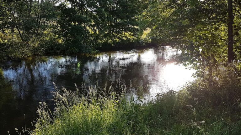
Burg Erprath occupied a position behind Erprath Mill, opposite Eppinghoven Abbey, on the right bank of the Erft near the meeting point of the Gillbach and the Erft. The two-part complex consisted of an inner castle on an artificial mound and an outer bailey, an enclosed area beside the principal fortified mound, about 20 metres to the southwest.
The Outer Bailey
The outer bailey covered a plateau approximately 20 by 30 metres and stood one to two metres above its surroundings. Its surface descended in terraces toward the Erft and the Gillbach. Along the southeast side, a five- to seven-metre-wide stretch of the former moat survives in marshy form.
The Motte and Residential Tower
The surviving motte is an artificial castle mound about four metres high and 18 metres wide at its base. On its southern side stands a 4.8-metre-high and approximately 6.5-metre-long section of brick and tuff wall. This fragment belongs to a residential tower measuring 6.9 by 7.7 metres, with walls about one metre thick.
The tower was built before the mound was formed. Its walls were erected first, and earth was then heaped around them to create the motte. The surviving physical remains therefore consist mainly of the mound and the remnant of the tower, while the excavated palisade and plank bridge provide evidence for the defenses and connection between the two parts of the castle.
Nearby sites