Burg Helpenstein: A Medieval Motte Castle in Neuss


Site at a Glance
- Rating
- 2.9
- Popularity
- Very Low
- Country
- Germany
- Primary era
- Medieval
- Eras represented
- Medieval
- Civilizations
- Holy Roman Empire
- Site type
- Military
- Remains
- Castle
On this page5 sections
History
Burg Helpenstein is a former medieval motte castle in Neuss, Germany, associated with the Helpenstein noble family and first mentioned in 1148. Its foundation date is uncertain, although an earlier installation may have occupied the site. The castle stood in what is now the Helpenstein district and formed part of the family’s long-established presence in the area.
The Helpenstein family and the castle
The Helpenstein family was documented at Helpenstein from 1094 and had acquired substantial possessions. Before settling at Burg Helpenstein, its members had lived at a manorial estate, an administrative and economic centre for managing surrounding lands and dependants, or at an older motte. In 1148, Harpernus, also recorded as Harbernus, was named at the castle, providing its earliest known written reference.
Destruction and rebuilding
The castle was described as completely destroyed in 1370, an event referred to as a second destruction. A new residence called Haus Helpenstein was built beside the castle mound in 1374.
In 1386, the United Rhenish Cities destroyed the castle after suspecting that robber knights had attacked merchants travelling to Cologne. This explanation is considered unlikely because the Helpenstein family was wealthy and was not associated with the Society of the Dun Horses, a Lower Rhine confederation linked with robber-knight activity. The site is now a former castle area in the Helpenstein district of Neuss.
Remains
Castle mound
Burg Helpenstein was a lowland castle, meaning a fortified site built in relatively level terrain, and had a motte layout. A motte is an artificially raised mound carrying a fortified residence or tower. The central castle was accompanied by two outer baileys, enclosed areas that provided additional space around the main stronghold.
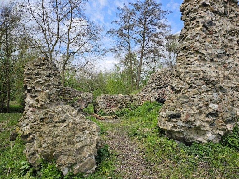
The surviving castle mound remains substantial. It rises about 7 metres, measured from a base approximately 60 metres in diameter to an upper edge about 40 metres across. The mound has been partly cut through and damaged by the Strategic Railway Embankment, a raised earthwork built to carry a railway. Near present-day Grafenstraße, the earthwork forms a Burgstall, a former castle site where mainly earthworks or fragmentary remains survive.
Nearby sites