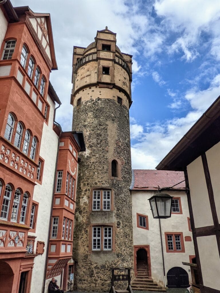
Burg Glauburg: A Medieval Hilltop Castle in Germany


Site at a Glance
- Rating
- 4.7
- Popularity
- Very Low
- Country
- Germany
- Primary era
- Medieval
- Eras represented
- Medieval
- Civilizations
- Holy Roman Empire
- Site type
- Military
- Remains
- Castle
On this page10 sections
History
Burg Glauburg is the ruin of a medieval hilltop castle in Germany, situated on the Glauberg southeast of Glauburg in Hesse. The hill had earlier settlements before it carried a Frankish castle during the seventh to ninth centuries.
The Staufer castle system
During the twelfth and thirteenth centuries, the Glauberg became part of the Staufer castle system in the Wetterau. The Staufers, also called the Hohenstaufens, were a medieval ruling dynasty whose political influence shaped a network of castles and territories in parts of the German kingdom. A tower-like castle building was erected beside the plateau’s fortifications during this period.
Settlement and destruction
The plateau was settled across its entire area. Medieval houses stood along its northern edge, and the settlement possessed town rights. The Frankfurt patrician Glauburg family held its ancestral seat here. References from 1247 name the Glauburg family, the lords of Düdelsheim, and other co-heirs, members of a shared hereditary holding arrangement.
The castle was probably destroyed as early as 1256. This brought the settlement of the Glauberg to an end.
Remains
Fortifications and castle buildings
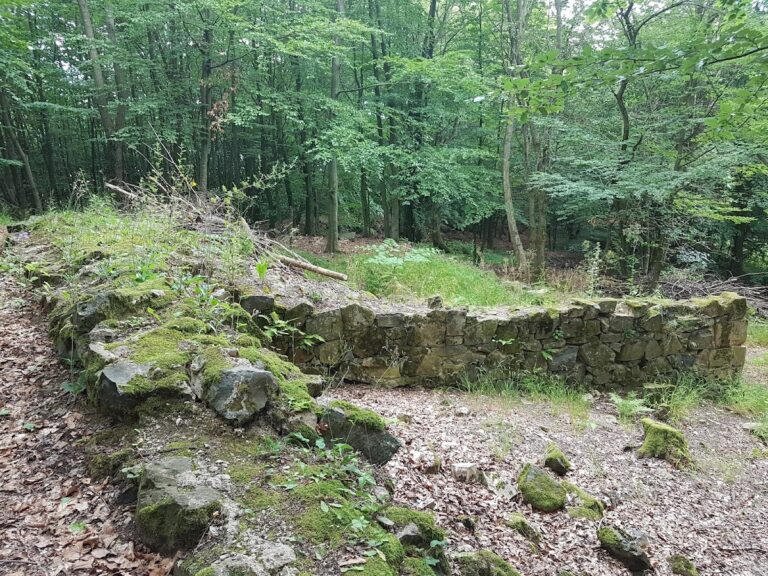
Burg Glauburg occupies a basalt ridge at approximately 276 metres above sea level. Its surviving construction is chiefly rubble stone. Most of the reconstructed or exposed buildings on the plateau belong to the medieval castle complex and were built largely against the inner side of the ring wall, a defensive wall enclosing the settlement or fortified complex.
Tower-like castle building
The tower-like building stood at the edge of the surrounding fortifications. Its rubble-stone ground floor survives with a Romanesque arched gateway. A Romanesque arch is a medieval architectural form with a rounded curve.
Southern gate and water installations
The southern gate complex, known as the Enzheimer Pforte, has been reconstructed. It formed an access-control point for the Glauberg plateau. East of the gate is a cistern installation about five metres deep, which served as an additional collector of rainwater.
Plateau settlement
Northern houses
On the northern side of the defensive wall is a complete row of houses with an entrance from the interior of the plateau. Several cellars survive among the buildings associated with the medieval castle complex.
Eastern foundations and enclosures
Individual foundations lie on the eastern side of the plateau and east of the southern gate complex. Some eastern houses had associated pens and enclosures. An open water point in the central part of the plateau had already been used during earlier periods, including the Celtic occupation, linking the later settlement to older activity on the Glauberg.