Römerschanze: A Roman and Medieval Fortification in Germany


Site at a Glance
- Rating
- 4.4
- Popularity
- Very Low
- Country
- Germany
- Primary era
- Medieval
- Eras represented
- Classical, Medieval
- Civilizations
- Holy Roman Empire, Roman
- Site type
- Military
- Remains
- Fort
On this page13 sections
History
Römerschanze is a Roman and medieval fortification in Germany, located above the Georgenstein in the Grünwalder Forst south of Grünwald. The site developed from a Late Roman watch or road station on the Via Julia, a road linking Augsburg and Salzburg, and remained in use through the High Middle Ages.
Late Roman road station
During the Late Roman Empire, the projecting high bank above the Isar crossing formed a strategic position overlooking the route. A fortified watch or road station stood there, accompanied by a settlement of clay half-timbered houses built on stone foundations. Some of these buildings contained small craft workshops, indicating activity beyond military observation.
The station continued to have military connections around AD 400. A gold solidus, a high-value Roman coin, bearing the portrait of Emperor Magnentius, who ruled from AD 350 to 353, was found in the rampart area in 1979. In 1987, 43 coins dating from the late third century to about AD 400 were collected at the site. They included a silver siliqua, a Late Roman silver denomination, of Emperor Arcadius dated to AD 392–395. Its comparatively high value has been interpreted as evidence that a garrison remained at the fortified road station and was still receiving pay around AD 400.
Early Medieval expansion
In the tenth century, a substantial earth rampart and deep outer ditch were constructed across the plateau. Fortifications of this type are generally associated with the period of the Hungarian invasions, tenth-century incursions into Central Europe that encouraged the construction or strengthening of defensive and refuge sites. The earthwork may have been built over the foundations of an earlier mortared stone wall.
High Medieval residence
During the High Middle Ages, a small ground-level fortified residence was placed behind the main Early Medieval rampart. Its northwestern side received a separate crescent-shaped rampart and ditch. The residence may have belonged to a ministerial, a service-dependent member of the lower nobility who could hold administrative or military duties. This medieval phase has not been linked to contemporary written records.
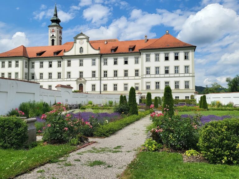
The arrangement has been compared with the larger fortification at Westerholz near Kaufering, where a High Medieval ground-level residence was inserted into an earlier defensive site. A similar Early Medieval fortification above Schäftlarn Abbey, on the western Isar high bank several kilometres south, probably served in its final phase as a refuge for the abbey and nearby population.
Archaeological protection and interpretation
The Bavarian State Office for Monument Protection lists Römerschanze as an archaeological monument comprising a Late Roman and tenth-century section fortification together with a High Medieval ground-level fortified residence. The site is registered under monument number D-1-7935-0002. Finds from Römerschanze were included, as of 2011, in a permanent exhibition on Roman civilization at Grünwald Castle Museum.
Remains
Römerschanze occupies a northwest-facing spur projecting from the plateau above the Georgenstein, a prominent rock in the Isar below. The steep slope toward the Isar valley protects the western side, while three arcuate section ramparts with outer ditches cross the plateau to the east. A further inner rampart and ditch define the area associated with the High Medieval residence.
Plateau fortifications
Outer ramparts and ditch
The western rampart survives to approximately one metre high. Far more substantial is the central main rampart, which rises about ten metres and is accompanied by a deep external ditch. This tenth-century earthwork may overlie the foundations of a mortared stone wall, linking the visible earthwork with an earlier phase of defence.
Inner rampart
The fourth, inner rampart reaches as much as three metres in height and is accompanied by its own ditch. It is probably associated with the High Medieval fortified residence. The internal buildings probably used timber or clay half-timbered construction, continuing building methods also represented in the earlier Roman settlement.
Roman settlement and road crossing
Settlement buildings
The Roman settlement consisted of clay half-timbered buildings set on stone foundations. Small craft workshops occupied some of the structures, providing physical evidence of activity at the fortified station. The settlement remains form part of the archaeological evidence for the site’s function beside the Roman road.
Via Julia and bridge
A Roman road bridge stood north of the fortification at the Isar crossing of the Via Julia. Sections of the ancient road survive on both banks of the river, associating the fortification with the route between Augsburg and Salzburg.
Coins and archaeological finds
Roman coins have been found repeatedly at Römerschanze since at least the eighteenth century. The 1979 discovery of a gold solidus of Magnentius came from the rampart area. The group collected in 1987 comprised 43 coins from the late third century to around AD 400, including the silver siliqua of Arcadius from AD 392–395. Together, these finds help date activity at the site and illuminate its continued military role in Late Antiquity.
Nearby sites