Burgruine Stauf: Medieval Castle Ruins in Germany


Site at a Glance
- Rating
- 3.8
- Popularity
- Very Low
- Country
- Germany
- Primary era
- Medieval
- Eras represented
- Medieval
- Civilizations
- Duchy of Bavaria, Holy Roman Empire
- Site type
- Military
- Remains
- Castle
On this page9 sections
History
Early Settlement and the Lords of Stauf
Burgruine Stauf is a medieval castle ruin in Germany, above the Stauf district of Thalmässing in Bavaria. Built as the seat of the Lords of Stauf, it occupied the summit of Burgberg, where human settlement had already existed in the Stone Age. A later settlement of the Urnfield culture, a prehistoric Central European culture associated with cremation burials in urns, was eventually covered by the castle. Its archaeological remains are protected as an archaeological monument under designation D-5-6833-0221.
The Lords of Stauf appear in written records from 1138 onward. The castle itself is explicitly mentioned in 1276, when Hermann von Stauf held it as a fief, meaning property or rights granted by a superior in return for service or obligations. The family probably died out at the beginning of the fourteenth century. Around 1309, Emperor Henry VII destroyed the castle during his conflict with Count Eberhard of Württemberg.
Imperial Rebuilding and Administrative Use
In 1328, Emperor Ludwig the Bavarian transferred the castle site to Burgrave Frederick of Nuremberg and authorized its reconstruction. A burgrave was a medieval castle governor or territorial official. It remains uncertain whether Frederick used this permission. In 1341, however, Emperor Ludwig stayed at a castle on the site that he was reportedly responsible for building himself.
Ludwig later tried to buy the castle back from the Nuremberg burgraves, but financial difficulties prevented the purchase. By 1355, the castle was again described as deserted. Emperor Charles IV then granted another rebuilding permit, and reconstruction was complete by 1366. After this rebuilding, the castle also functioned as an administrative seat.
Destruction and Later History
In 1460, Duke Ludwig the Rich of Bavaria destroyed the castle during his conflict with Margrave Albrecht Achilles. The site remained deserted thereafter, while new buildings for the administrative seat were provided below the ruin.
In 1809, the ruin was sold to private owners and used as a quarry. Bavarian King Ludwig I bought back part of it in 1837. The remaining privately owned land was acquired by the Miehling family in 1909 and later passed to Josef Drexel. The castle remains in the ownership of Drexel’s descendants. The ruin and the settlement were heavily affected during the Second World War.
Remains
Hilltop Setting and Layout
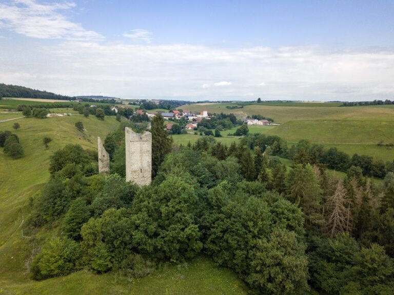
The ruin stands on the 535-metre summit of Burgberg, a conical hill above Stauf in Middle Franconia. The castle occupies a long oval plateau on a platform about 45 metres across. Burgberg lies directly on the European watershed, a drainage divide separating river systems that flow toward different major basins. The summit looks south across the Thalach valley, whose waters flow toward the Danube. On the northern side, several streams rise in the Hag forest and run toward the Roth, a tributary whose upper course is also visible from the summit and ultimately drains toward the Rhine.
The castle originally had broad ditches around its central thirteenth-century palas. A palas was the principal residential and representative building of a medieval castle, containing the lord’s living and ceremonial rooms. Of the wider fortifications, only an eastern terrace retaining wall survives. This wall may once have formed the substructure of a zwinger, an outer defensive enclosure or passage between fortification walls.
Entrance and Defensive Tower
Eastern Entrance and Bergfried
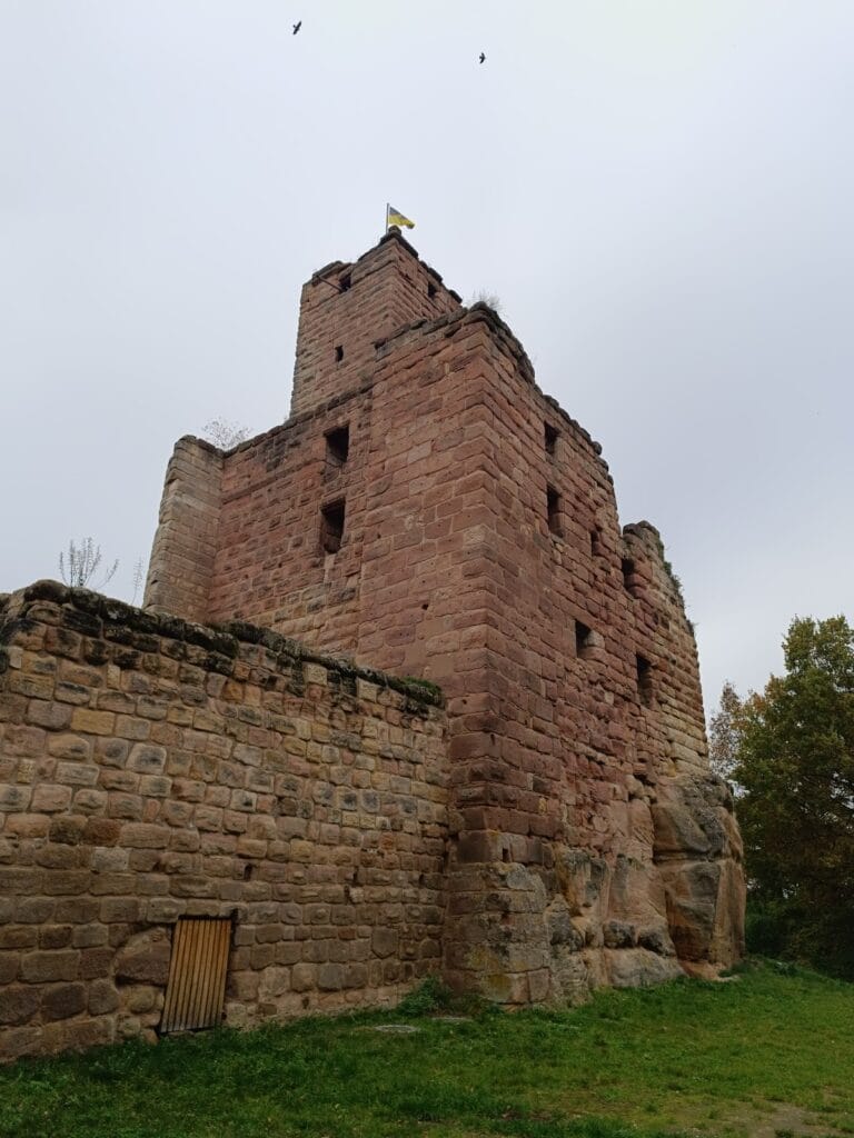
The entrance lies on the eastern side of the castle, facing the settlement. The former bergfried, the main defensive tower of a medieval German castle, measured 7 by 6 metres and now survives only as a stump. It was built from smooth ashlar blocks with clamp holes. Its walls are 1.50 metres thick, increasing to twice that thickness on the eastern side, which faced the direction of attack.
Palas and Residential Building
The square palas stands 13 metres west of the bergfried and is faced with bossed ashlar masonry. Bossed ashlar consists of carefully cut stone blocks with rough, cushion-like outer faces. Before damage during the Second World War, the north wall rose four storeys high. The third upper storey was a later addition and contained large openings that had been broken through the wall.
The eastern wall of the palas is incorporated into the residential building now standing between the palas and the bergfried. An older depiction also indicates that a round tower may once have stood west of the palas.