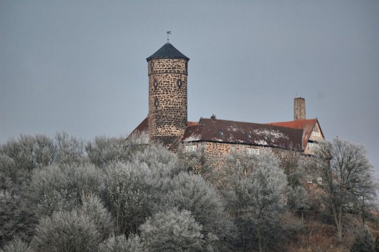
Burgruine Rusteberg: A Medieval Hilltop Castle and Administrative Centre in Germany


Site at a Glance
- Rating
- 4.4
- Popularity
- Very Low
- Country
- Germany
- Primary era
- Medieval
- Eras represented
- Medieval, Modern
- Civilizations
- Holy Roman Empire
- Site type
- Military
- Remains
- Castle
On this page10 sections
History
Burgruine Rusteberg is a ruined hilltop castle in Germany, standing between Marth, Rustenfelde, and Arenshausen in the Eichsfeld district of Thuringia. Built around 1120 and first mentioned in 1123, it became a military and administrative centre for the territories of the Archbishops of Mainz in the Eichsfeld.
Foundation and destruction
Rusteberg was initially only lightly fortified. In 1165, during a feud between Archbishop Konrad of Mainz and Emperor Frederick Barbarossa, Landgrave Ludwig II of Thuringia destroyed Rusteberg together with Harburg. A cleric named Ortolf was nevertheless recorded at Rusteberg in 1186, indicating that the site continued to have an institutional role after its destruction.
During the twelfth century, Archbishop Adalbert I greatly enlarged the Mainz territories in the Eichsfeld and strengthened them with new castles. Rusteberg was rebuilt or developed within this wider territorial system. Charters recording repeated archiepiscopal stays show the castle’s administrative importance, while the creation of the office of burgrave gave it a defined military and governmental command.
Burgraves and castle service
A burgrave commanded the castle and administered the surrounding jurisdiction on behalf of the archbishop. The office was supported by ministeriales, members of the medieval service nobility who performed military, administrative, and judicial duties, as well as by bailiffs. Rusteberg was governed by a burgrave of high nobility, although it was not itself a count’s castle. The first known burgrave was Dudo von Immenhausen, and other noble families, including the von Rusteberg, maintained residences at the castle as burgmanns, noble residents responsible for service and defence.
Members of the Knorr family, later known as Knorring, served as burgraves until 1441, when the family emigrated to Courland. In the thirteenth century, the houses of Everstein and Wittgenstein also supplied burgraves. Count Heinrich of Gleichen captured Rusteberg in 1238, but Heinrich, provost of Heiligenstadt, subsequently recovered it.
The recorded occupants reflect the changing network of noble service around the castle. Twelfth-century names include Dudo von Immenhausen, Odelrich, and Hertwig, together with Count Albrecht von Everstein and Cunrad von Rusteberg. Later holders included Konrad von Everstein, members of the Rosdorf, Uslar, Bültzingsleben, Bodenhausen, Rusteberg, Plesse, and Hanstein families, and Count Siegfried von Wittgenstein. Gottschalk and Johann von Plesse were recorded in 1424, Friedrich von Linsingen in 1466, and Christian von Hanstein around 1509–1515.
Vicedoms and territorial administration
As Mainz expanded its possessions, the Mainz vicedom for the Eichsfeld and neighbouring territories also took up residence at Rusteberg. A vicedom was the secular deputy of a territorial prince or archbishop, exercising delegated administrative and judicial authority. From 1323, under Count Siegfried von Wittgenstein, the offices of burgrave and vicedom were united under one lord, and the separate burgrave office disappeared.
The vicedom administered Mainz possessions in the Eichsfeld and in adjoining areas such as Fritzlar and Treffurt. From 1240 to 1323, the office was hereditary in the von Hanstein family. In 1323, Heinrich von Hanstein sold the office, together with its rights and properties, to Archbishop Matthias of Mainz. Earlier vicedoms included Lambrecht, who served from 1126 to 1139, and Gerlaus. From about 1150, members of the von Hanstein family held the office, initially also using the name von Rusteberg. Later holders came from families including the von Worbis, Knorr, Wintzingerode, Bültzingslöwen, Minnigerode, Linsingen, Bodenhausen, Hardenberg, Hohnstein, Uslar, Schwarzburg, and the dukes of Saxony.
The jurisdiction known as the Rusteberg office began with a small group of villages, including Marth, Arenshausen, Burgwalde, Freienhagen, and Kirchgandern. It expanded as Mainz acquired further territory, eventually incorporating settlements such as Geisleden, Heuthen, Kreuzebra, Flinsberg, Uder, Neuseesen, Lenterode, Thalwenden, Birkenfelde, Schachtebich, Rengelrode, Mengelrode, Siemerode, and Glasehausen. The office also included the deserted settlements of Griesbach and Krummelbach and some inhabitants of Kirchberg. Westhausen with Günterode joined it from the sixteenth century, followed later by parts and then all of Reinholterode.
Several noble judicial villages within the office were connected with aristocratic families that held burgmann residences at Rusteberg. The von Bültzingslöwen held Glasehausen, Bischhagen, and Schönau; the von Bodenhausen held Rohrberg, Freienhagen, and Streitholz; the von Plesse held Gänseteich, Lentershagen, and Burgwalde; and the von Eberstein held Rustenfelde, Marth, and Kirchgandern. The vicedom’s associated properties included a farmstead at the castle, holdings in the market settlement of Rusteberg, parts of several villages, lands and farms, and the von Hanstein fortified residence at Hanstein. Income also came from inherited estates and tithes.
Transfer of administration and abandonment
From the middle of the fourteenth century, the archbishops transferred increasing administrative responsibilities to Heiligenstadt. Rusteberg retained the Vogtei, an administrative and protective jurisdiction, until 1540. Its last recorded holder was the vicedom Siegfried von Bültzingslöwen. In that year, the higher administrative office and the regional court moved to Heiligenstadt, leaving only official bailiffs at Rusteberg. The offices were based in Heiligenstadt’s higher administrative office from 1603 and in the Mainz Schloss there after its construction in 1738.
Rusteberg remained involved in the military conflicts of the early modern period. During the German Peasants’ War, the castle had been expanded into a fortress, but the peasant bands deliberately bypassed it. During the Thirty Years’ War, a conflict that devastated much of the Holy Roman Empire between 1618 and 1648, Hessian-Kassel troops besieged the fortress and eventually forced its surrender. The castle returned to the Electorate of Mainz, the territorial and political domain ruled by the Archbishop of Mainz, under the Peace of Westphalia, the treaties of 1648 that ended the war and reshaped the political order of the empire.
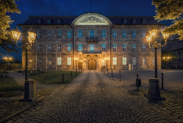
In 1749–1750, the administration built Schloss Rusteberg at the foot of the castle hill as a new administrative building. The largely intact medieval castle was then dismantled, and its stones were reused as building material. The remaining administration moved into the new buildings, while the castle chapel continued to serve local worshippers into recent times. Franz Wilhelm Haber, a recorded official who served from 1748 to 1789, was based at Schloss Rusteberg from 1750.
Remains
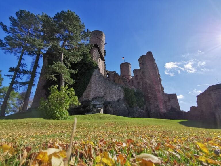
Burgruine Rusteberg occupies the summit of an isolated, steep-sided, conical hill rising sharply from the Leine valley. The summit reaches approximately 397.6 metres above sea level. The hill consists of Muschelkalk, a limestone formation, within the Buntsandstein, or red sandstone, landscape of the western Eichsfeld. The medieval road from Arenshausen and Uder into the Eichsfeld passed the mountain as an important military and commercial route.
Fortifications and castle layout
A view published by Matthias Merian in 1646 preserves evidence for the former arrangement of the castle. Matthias Merian was a Swiss-German engraver and publisher known for illustrated topographical views. The complex had an inner castle on the summit, enclosed by a strongly fortified semicircular outer bailey. A ring wall and ditch surrounded the site, with further walls and towers strengthening its defences.
Inner castle and keep
The former keep had a square ground plan measuring 7.7 by 7.7 metres, with walls 1.7 metres thick. Its summit position formed the central point of the castle complex. After the main buildings were dismantled, their locations remained visible through irregularities in the ground. Sections of the outer fortifications and partly buried vaulted cellars also survive.
Entrance defences
The principal entrance lay on the southern side of the mountain. A fore-gate with a bastion-like form provided additional protection at the approach. The entrance belonged to the wider defensive system of walls, towers, ditch, and ring wall that enclosed the inner castle and outer bailey.
Castle chapel
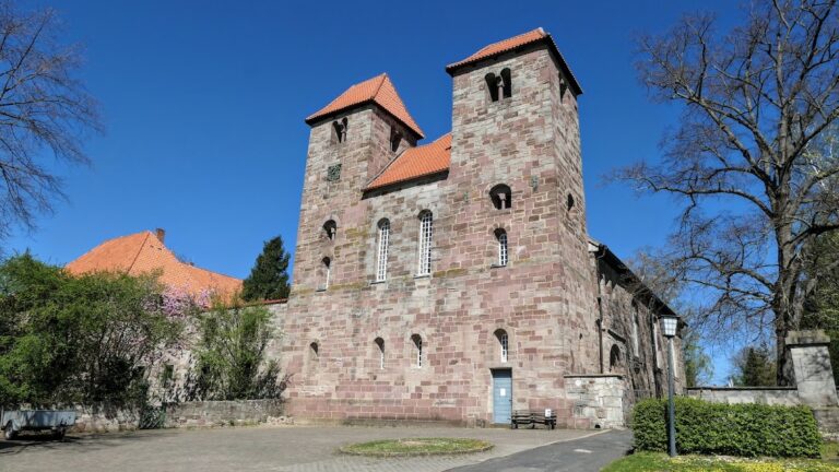
The ruin of the castle chapel is among the surviving structures on the summit. It continued as a place of devotion for the local population after the castle’s main buildings had been dismantled. In the nineteenth century, the chapel ruin was supplemented with reused rubble. A round tower was added on its north side, and an entrance facade was built on the west. The chapel remained a place of worship into recent times.