Castle Lichtenberg: A Medieval Castle Ruin in the Netherlands


Site at a Glance
- Rating
- 4.3
- Popularity
- Low
- Country
- Netherlands
- Primary era
- Medieval
- External website
- Open
- Eras represented
- Medieval, Modern
- Civilizations
- Dutch, Holy Roman Empire
- Site type
- Military
- Remains
- Castle
On this page9 sections
History
Origins and medieval development
Castle Lichtenberg is a medieval hilltop castle ruin in the Netherlands, located on the Sint-Pietersberg at Maastricht. Its first construction probably began around 1212 during the Liège-Brabant Wars, under Hugo II of Pierrepont, the prince-bishop of Liège who combined religious authority with territorial rule. The builders may have reused the foundations of a tenth-century fortified tower. The castle itself was constructed around 1400 and enlarged several times during the fifteenth and sixteenth centuries.
The name may derive from Luchtenborg, meaning “high-lying stronghold.” Another recorded name, Mons Lucis, refers to a mythical beacon along the Meuse. A further explanation links the name to a robber knight who supposedly “lightened” passing merchants of their goods. The earliest recorded occupants were members of the Lichtenberg family, who lived there in 1267. Jan Happart of Wyck and Rogier Bock were among the later residents recorded in 1410.
Bock’s granddaughter married Johan van Eynatten, lord of Neubourg near Gulpen, in 1439. Van Eynatten rebuilt and enlarged the castle and added a hermitage in 1455. The religious foundation later became an Observant monastery, associated with a Franciscan reform movement that sought stricter adherence to the order’s original rule.
Military use and destruction
Lichtenberg retained a military role during later conflicts. In 1568, Alva established a temporary headquarters there. During the siege of Maastricht in 1632, States commander Pinssen van der Aa also stayed at the castle. The Dutch War, a European conflict fought from 1672 to 1678, brought further damage. Sieges in 1673 and 1676 destroyed the castle, although it was subsequently repaired.
The castle was still inhabited in 1740. A fire in 1747 then brought complete decline, possibly after troops had been billeted there before and after the Battle of Lafelt. An enclosed farm complex was later built around the surviving residence, incorporating parts of the earlier site.
Later ownership and preservation
The Von Schaesberg family acquired the estate in 1659 and retained ownership until the early nineteenth century, including after the castle’s destruction by fire. Its last aristocratic residents were Count August Fréderic Antoine Marie van Schaesberg, who lived from 1730 to 1801, and Isabelle, Baroness van Cortenbach, who lived from 1747 to 1809.
In 1809, when Maastricht formed part of Napoleonic France, the French administration sold the confiscated estate to Christiaan Coenegracht, mayor of Maastricht. His granddaughter, Maria Christina Sara Dorothea Coenegracht, lived at the complex from her marriage to Hubertus Theodorus Laurentius Straetmans in 1862.
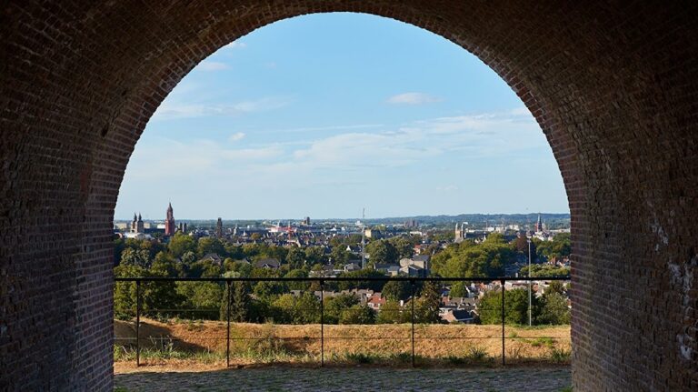
An iron staircase and wooden platform were installed in the ruined tower in 1904, converting it into a belvedere, a platform designed for viewing the surrounding landscape. During the First World War, residents of Maastricht used it to observe fighting near Visé across the border.
Ownership passed in 1921 to the Société Anonyme Fabrique Portland et Briquetterie de Raevels, later known as ENCI, the Eerste Nederlandsche Cement Industrie. Around 1940, the company’s cement works and expanding marl quarry threatened the monument. After historians argued for its preservation, excavation around the complex left the farm and castle ruin isolated on a rocky outcrop within the quarry. The ruin was consolidated and the adjoining buildings restored in 1985. Natuurmonumenten is identified as the owner in connection with the site’s later use. Castle Lichtenberg has national-monument status in the Netherlands under monument number 27976.
Artistic representation
The ruin’s setting attracted artists, especially during the nineteenth century. Jean-Baptiste Madou produced two lithographs of Lichtenberg for Voyage pittoresque dans le Royaume des Pays-Bas, published in Brussels in 1825 by Jean-Joseph de Cloet. Philippe van Gulpen, a Maastricht amateur historian and draughtsman, depicted the ruin at least five times.
Remains
Setting and courtyard complex
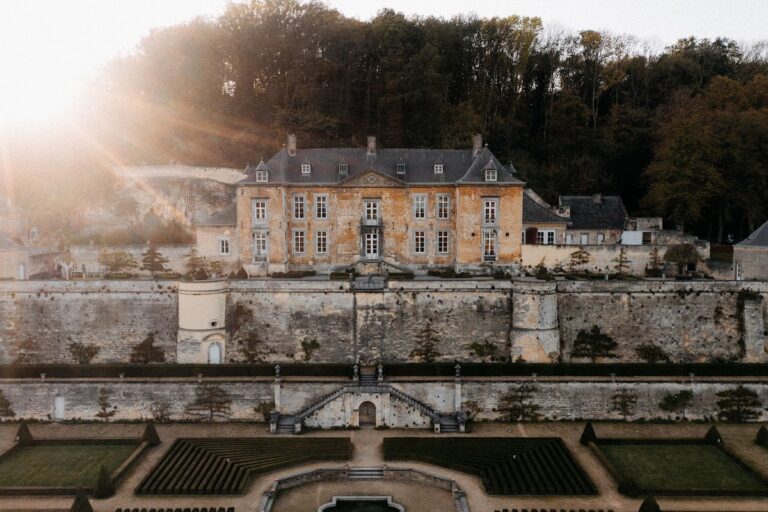
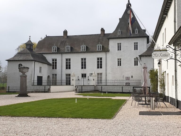
The castle ruin and Hoeve Lichtenberg stand on the steep eastern edge of the Sint-Pietersberg plateau. The complex is arranged as a roughly square farmstead around an inner courtyard, with the castle ruin forming the northern side and largely eighteenth-century wings extending to the south and west. Quarrying around the site left the buildings isolated on a bare rocky outcrop. The Meuse lies to the east, while the ENCI quarry extends to the south, the Sint-Rochus Chapel lies to the northwest, and Slavantebos occupies the area to the north.
Donjon and medieval castle remains
The surviving medieval elements include the ruined donjon, the principal fortified tower of a medieval castle, and part of the northern castle wing. The lower section of the donjon is built from coal sandstone and flint blocks and may belong to the foundation phase around 1212. The tower remnant rises approximately 12 metres, with walls about 1.5 metres thick. It was enlarged in the twelfth and fifteenth centuries by the addition of two storeys, and its lower structure may be among the oldest visible castle remains in the Netherlands.
The northern wing attached to the tower is built of Limburg marl and may date from the fifteenth century. The stone has a reddish discoloration associated with the fire of 1747. Inside the tower, the steel staircase and viewing platform installed in 1904 remain as part of the ruin’s later conversion into a belvedere.
Farm buildings and underground features
The entrance side of the farmstead includes a gatehouse with a broken-profile hipped roof and adjoining stables, both built in 1816. A date stone bearing “1816” is set in the gate tower. A large barn on the eastern slope dates from 1870. Part of the farm complex was later rented as holiday accommodation, and the Sint Pieters Museum occupied part of the buildings from 1991 to 2018.
Below the ruin is a limestone face classified as a Maastrichtian geological monument and type locality. Maastrichtian is a geological stage named after Maastricht and associated with Late Cretaceous limestone formations in the region. The limestone contains surviving sections of the extensive Slavante underground passage system. A shaft connected the farmstead with these passages, while the elevated tower overlooks the Meuse valley.