Aqueduct of Évora: A Renaissance Water-Supply System in Portugal

Site at a Glance
- Rating
- 4.5
- Popularity
- Medium
- Country
- Portugal
- Primary era
- Early Modern
- Eras represented
- Early Modern, Modern
- Civilizations
- Portuguese
- Site type
- Infrastructure
- Remains
- Aqueduct
On this page10 sections
History
The Aqueduct of Évora, also known as the Água da Prata Aqueduct, is a Renaissance water-supply system in Portugal, built between 1531 and 1537 under King John III to bring spring water to Évora. Its construction addressed a serious weakness in the city’s potable-water supply and created infrastructure that remains in operation.
Water scarcity and royal construction
By the early sixteenth century, Évora’s supply of drinking water was inadequate, particularly during the summer. Water scarcity was associated with the spread of plague, and the city had experienced major epidemics in 1495, 1509, and 1523. The aqueduct was therefore planned as a major public-health and infrastructure project during the reign of John III, king of Portugal from 1521 to 1557.
Work began in 1531 or 1532 on the king’s orders and was directed by Francisco de Arruda, a sixteenth-century Portuguese architect who served as a royal architect. The undertaking required extensive technical, human, and financial resources. Évora’s nobility contributed 691,640 réis through taxation of royal-household revenues, helping to meet the cost of the project.
Completion and later changes
The aqueduct was completed and inaugurated on 28 March 1537. King John III and his court attended the ceremony, during which water was ceremonially brought to Giraldo Square, then called Praça Grande. The name Água da Prata is sometimes linked to the expense of construction, although it is also associated with the clear water of the Fonte da Prata spring identified as the aqueduct’s source.
The aqueduct may have followed, or partly overlain, an earlier Roman water system. The existence and extent of that predecessor remain uncertain. Damage during the Portuguese Restoration War, the seventeenth-century conflict in which Portugal reasserted its independence from the Spanish Habsburg monarchy, led to repairs and remodeling. Further improvements, alterations, additions, and demolitions followed in the nineteenth and twentieth centuries, while the original overall route was retained.
The Aqueduct of Évora has been a Portuguese National Monument since 1910. It forms part of the Historic Centre of Évora, inscribed on the UNESCO World Heritage List in 1986, and its need for preservation led to its inclusion on the World Monuments Watch, a heritage-preservation program for culturally significant sites requiring conservation attention. The aqueduct continues to contribute to Évora’s water supply, making it one of the few aqueducts of its period still serving that function.
Remains
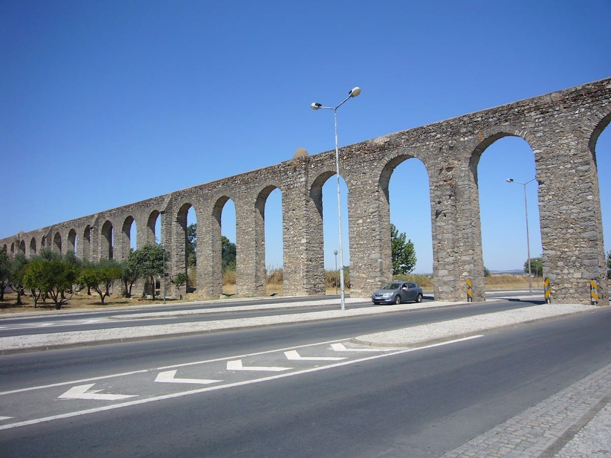
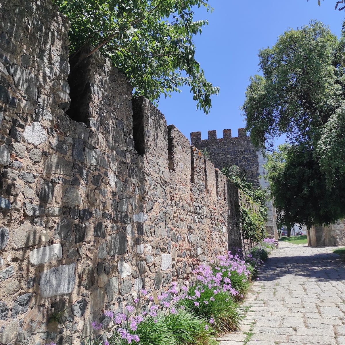
The aqueduct forms a linear system of covered conduits and granite arches extending approximately 18 kilometres from springs at Graça do Divor to Évora. Its Renaissance-style masonry uses ordered arches and columned forms to support a covered channel containing the pipes and water conduit. The route crosses a varied landscape of pasture and cereal fields, cork-oak and holm-oak stands, exposed rock, and natural or semi-natural vegetation. Near the parish church of Nossa Senhora da Graça do Divor, it passes through a valley before continuing toward Évora’s Fernandine walls.
Springs and covered conduits
The spring area lies within the grounds of the São Bento de Castris convent and is associated with the Fonte da Prata and the Herdade das Figueiras de Lobo. A seventeenth-century description identifies two separate branches at the springs. Their walls were built of stone and mortar and covered with carefully worked stone slabs. Each conduit was described as about three palms wide and six palms high, with some sections running 25 to 30 palms below ground. Regularly spaced openings provided light and allowed access for inspection.
Urban arches and water distribution
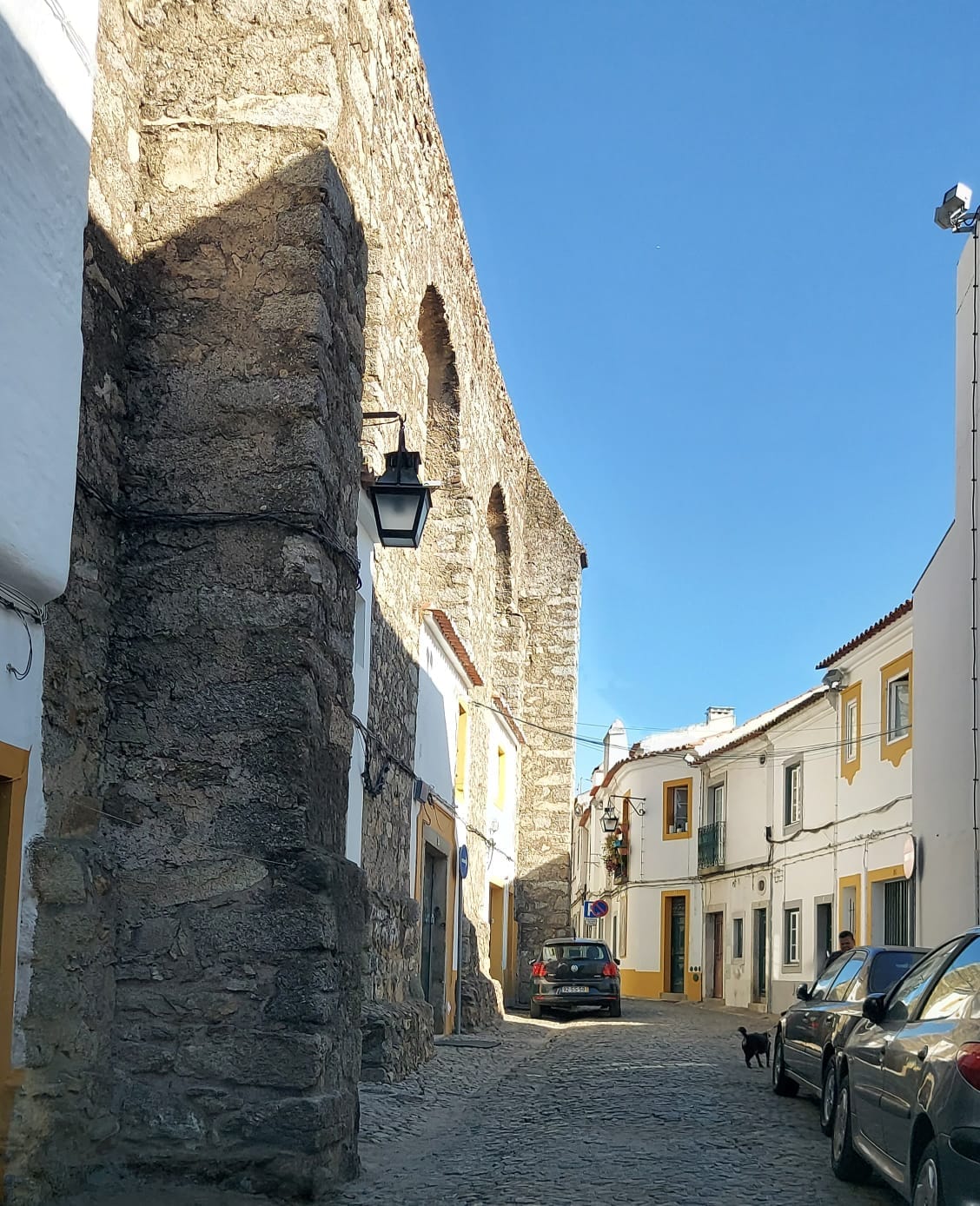
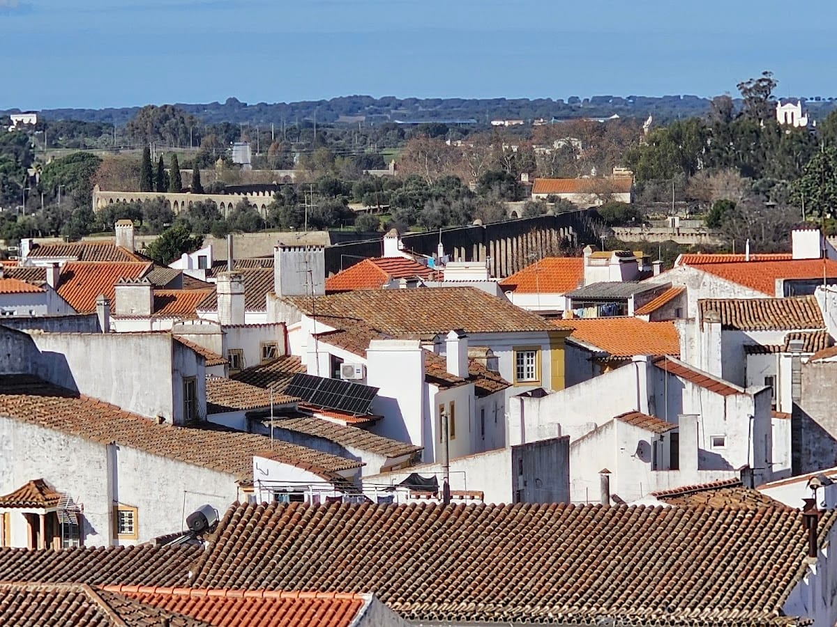
Within Évora’s historic centre, the aqueduct’s arches form a colonnade incorporated into streets, plots, houses, and other buildings. Along Rua do Cano, houses were built into or against sections of the sixteenth-century structure, making the waterway part of the urban fabric. Its urban course was connected to a gravity-fed network of public fountains and tanks.
Giraldo Square fountain
The aqueduct originally carried water to Giraldo Square. For the inauguration in 1537, a marble fountain decorated with lions and a Roman triumphal arch were erected there. Both were later replaced during remodeling of the square, and the present fountain occupies the location of the earlier lions’ fountain.
Rua Nova water box
A Renaissance water box was built on Rua Nova as part of the distribution system. Its surviving description records twelve Tuscan columns, a classical type with relatively plain shafts and capitals. The structure no longer retains all of its sides.
Fecho Real do Aqueduto
Near São Francisco Church stood a Renaissance terminal structure known as the Fecho Real do Aqueduto. It remained there until its removal in 1873, marking a later change to the aqueduct’s urban arrangement.
Public fountains and tanks
Other gravity-fed elements included fountains at Portas de Moura, Portas de Avis, and Chão das Covas. At Rossio de S. Brás, the system supplied a fountain and tanks. Together, these features extended the aqueduct’s water-distribution network through the city.