Cáceres el Viejo: A Roman Republican Military Camp
Site at a Glance
- Popularity
- Very Low
- Country
- Spain
- Primary era
- Classical
- Eras represented
- Classical
- Civilizations
- Roman
- Site type
- Military
- Remains
- Camp
On this page11 sections
History
Cáceres el Viejo is a permanent Roman military camp in Spain, established around 78 BC during the Roman Republican period. Attributed to Quintus Caecilius Metellus Pius, a Roman aristocrat and commander who fought Sertorius in the civil conflicts known as the Sertorian War, the camp belonged to the province of Lusitania and housed one or two legions. Its fortified layout reflects the organization of a Roman castrum, or military base arranged around roads, gates, walls, and internal installations.
Foundation during the Sertorian War
The camp is traditionally associated with Metellus Pius, who is said to have founded it during the wars between Sertorius and Metellus. Its position near the Guadiloba River placed the base on a small rise, while its substantial enclosure and defensive ditches supported its role as a permanent military installation.
Uncertain identification
The identification of Cáceres el Viejo remains debated. It is often considered Castra Cecilia, but some archaeologists identify it instead as Castra Servilia. The two camps mentioned by Pliny, a Roman author whose geographical and historical writings refer to both names, cannot be located with certainty. Another interpretation places Castra Servilia at a Celtiberian settlement in the present-day Monumental district of Cáceres. Norba Caesarina was founded over that settlement by Gaius Norbanus Flaccus around 34 BC.
Excavation and interpretation
Adolf Schulten, a German archaeologist known for investigating Roman sites in the Iberian Peninsula, excavated the camp in the early twentieth century. Later work by the architect Ramón Cañas and the archaeologist M. Luz González established the arrangement of its access system. As part of the Alba Plata project of the Government of Extremadura, a former farm building inside the camp was adapted as an interpretation centre. Its displays present the occupants’ way of life through a scale model, reconstructed rooms, armour, and a film about daily life. The centre forms part of Extremadura’s Museums of Identity network.
Remains
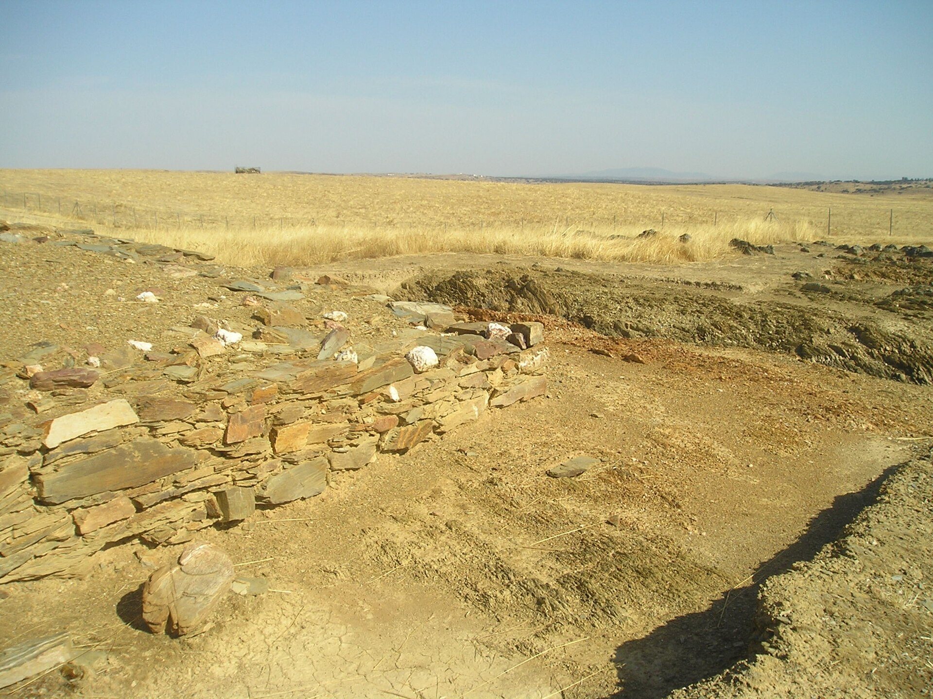
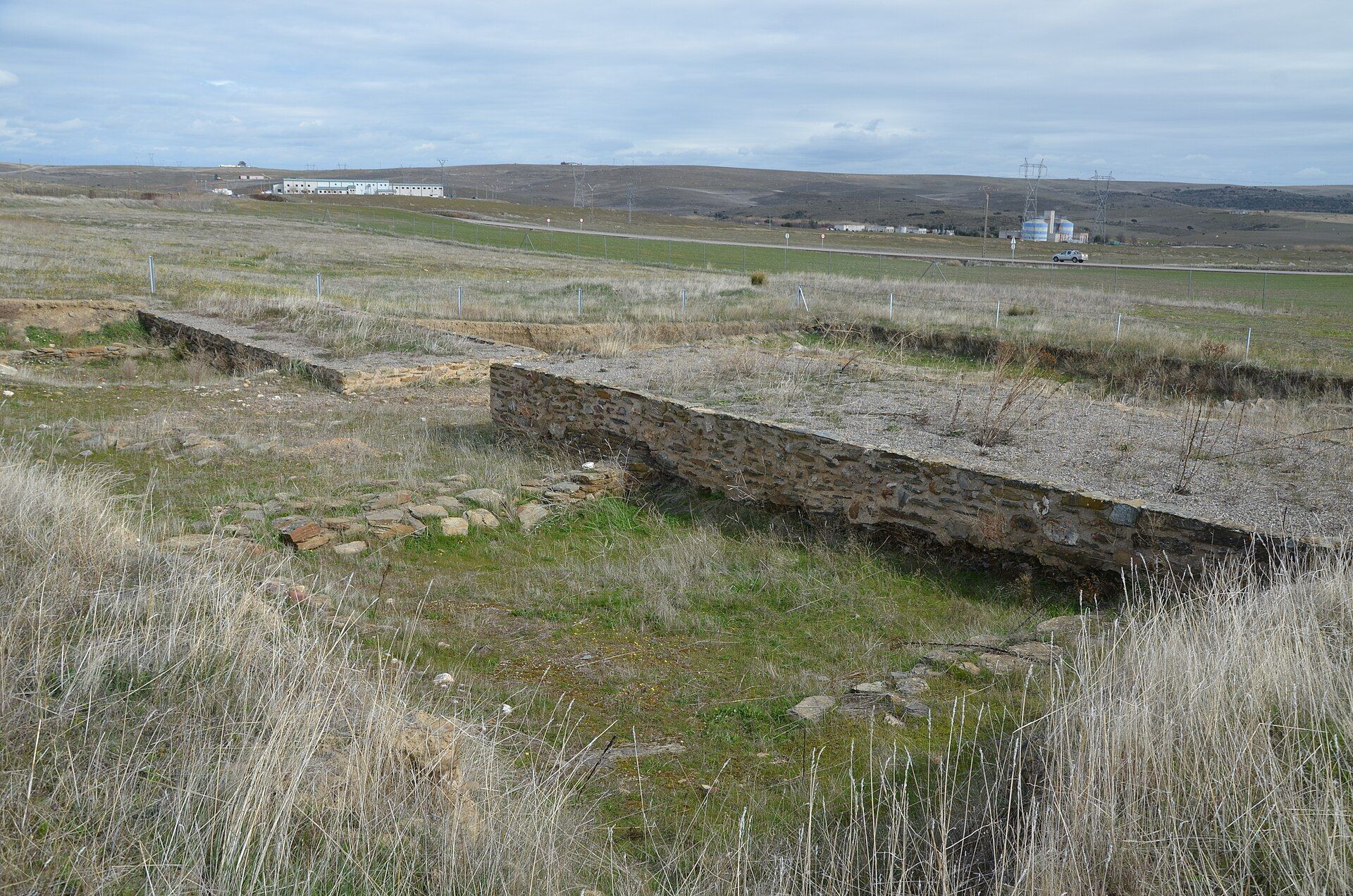
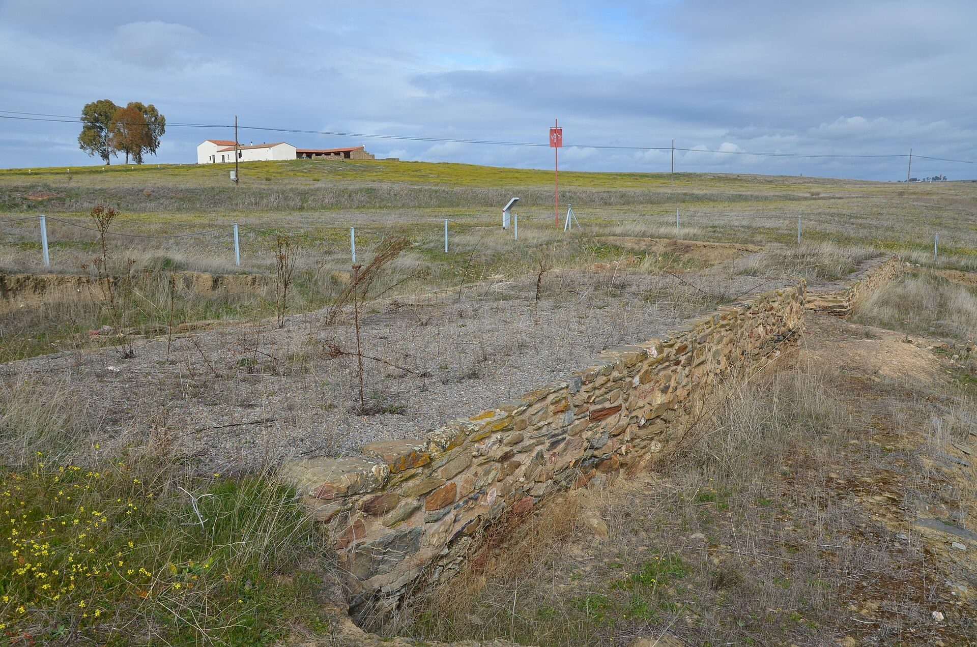
The camp occupied a rectangular enclosure of approximately 24 hectares, measuring about 399 by 680 metres. It stood near the Guadiloba River on a slight rise. A perimeter wall about 4 metres thick formed the main boundary. The wall consisted of two masonry faces built with slate and quartzite, and two ditches cut into the surrounding slate strengthened the defensive system.
Defensive enclosure
The inner ditch had a V-shaped section, measured 4 metres across, and reached 2 metres in depth. A second ditch lay 3.50 metres farther out. It was narrower and shallower, measuring 1.50 metres wide and 0.70 metres deep. The gates also had forward ditches that added supplementary protection to the entrances.
Gates and internal roads
Porta Praetoria
The Porta Praetoria, the principal gate of a Roman camp, stood on the northern side at the end of the Via Praetoria, the main road leading toward it. The gate has been re-excavated, including the outer base of one of its towers.
Porta Principalis Sinistra
The Porta Principalis Sinistra was positioned to the southwest. Two square towers flanked this side entrance, reinforcing its approach within the camp’s defensive system.
Porta Quintana and the Via Quintana
The Porta Quintana stood on the eastern side and opened onto the Via Quintana. This cross-camp road ran through the enclosure and divided it into two equal parts.
Interpretation centre
The interpretation centre occupies a former farm building within the camp. Its rooms explain the military way of life associated with the site and include a scale model of the enclosure, presentations of rooms and armour, and audiovisual material about daily life.