Castle of Aranda de Moncayo: A Medieval Fortress in Spain


Site at a Glance
- Rating
- 4.1
- Popularity
- Very Low
- Country
- Spain
- Primary era
- Medieval
- Eras represented
- Medieval
- Civilizations
- Crown of Aragon
- Site type
- Military
- Remains
- Castle
On this page6 sections
History
Castle of Aranda de Moncayo is a twelfth-century fortress in Spain, attributed to a Muslim emirate and built on a strategic hilltop overlooking the Aranda River valley. An earlier castle occupied the site during Muslim rule, when it controlled movement and territory along the valley.
Muslim Rule and the Royal Domain
After the Reconquista, the prolonged Christian reconquest of territories ruled by Muslim powers in the Iberian Peninsula, the castle entered the terra regis, meaning land held directly by the Crown. The Crown appointed castellans to administer and defend it, linking the fortress to royal authority.
The Castilian and Aragonese Conflicts
The castle gained greater importance during the fourteenth-century conflicts between Castile and Aragon. Castile captured the fortress in 1362, but Aragon recovered it soon afterward. In 1366, Pedro IV, the fourteenth-century king of Aragon, ordered its defenses strengthened and entrusted the castle to the Order of Saint George of Alfama, a medieval military-religious order associated with the Crown of Aragon.
The fortress’s advanced observation post was the Torre del Moro de Malanquilla. In 1373, the castle formed part of the lordship of Toda de Luna, a noblewoman who held it as a feudal domain. She later bequeathed it to her nephew Juan Ximénez de Urrea, who held the title Count of Aranda.
Heritage Protection
Castle of Aranda de Moncayo is protected as a Bien de Interés Cultural, the formal Spanish designation for an asset recognized as having cultural heritage value. Its inclusion in the protected-castles listing was published on 22 May 2006.
Remains
Hilltop Fortress
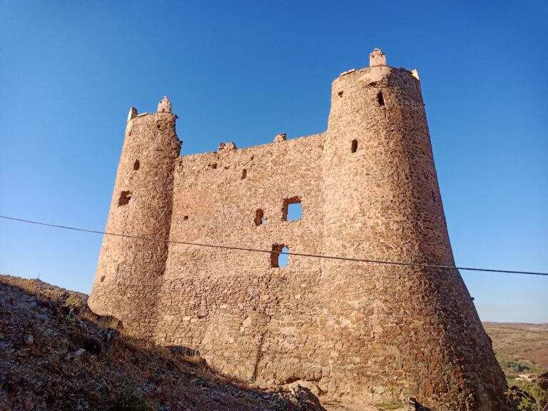
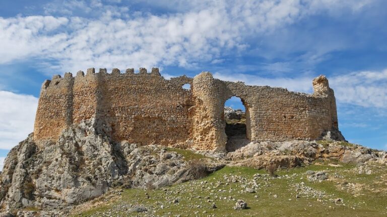
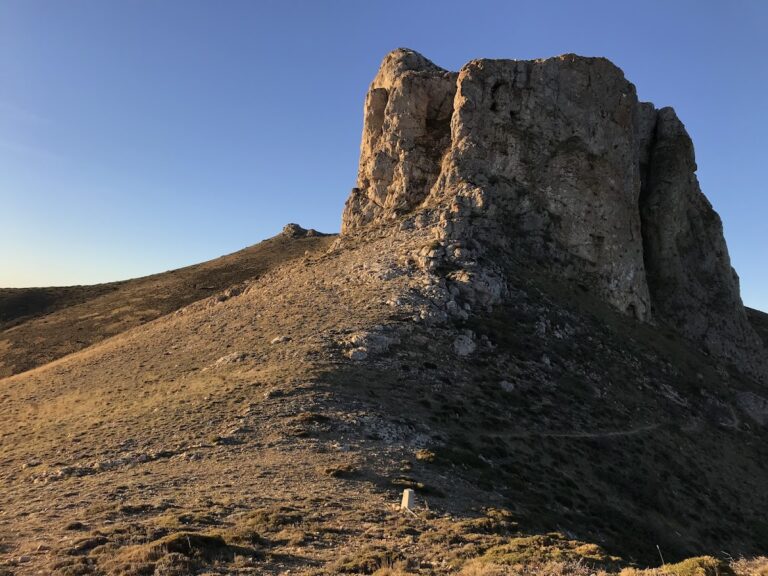
The fortress occupied a hilltop position from which the surrounding terrain could be viewed and the Aranda River valley controlled. Its plan was an irregular polygon measuring approximately 30 by 12 metres. Irregularly shaped stone formed the construction, giving the remains a rough, defensive character.
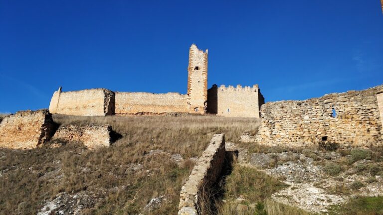
The visible remains include a square tower measuring approximately four metres on each side. Reduced in height, it stands apart from fragments of the enclosing walls. Another surviving wall turns at an angle and is crowned with crenellations, the raised sections along the top of a defensive wall.