Rüdberg Castle Ruin: A Medieval Hilltop Fortress in Switzerland


Site at a Glance
- Rating
- 4.2
- Popularity
- Very Low
- Country
- Switzerland
- Primary era
- Medieval
- Eras represented
- Medieval
- Civilizations
- Holy Roman Empire
- Site type
- Military
- Remains
- Castle
On this page7 sections
History
Rüdberg Castle Ruin is the remnant of a medieval hilltop castle near Oberhelfenschwil in the canton of St. Gallen, Switzerland. Probably built in the thirteenth century, it occupied a strategically placed spur above the Thur River and was first recorded in 1270 as Castrum Rudeberg.
The Rüdberg Lords and Toggenburg
A knight named Joanne of Rüdberg is mentioned in 1267, shortly before the castle appears in written records. The name Rüdberg probably referred to the hound shown on the coat of arms of the Toggenburg family, whose influence extended over the castle at that time. In 1275, Rüdberg served as a boundary point when the possessions of the Toggenburg counts were divided between Friedrich and Diethelm of Toggenburg.
The castle’s feudal lordship, meaning authority held through a hierarchical landholding system, remains uncertain. The abbot of St. Gall may have held it as a feudal estate, in the context of a pledge involving Bütschwil and the count of Werdenberg-Heiligenberg. From 1303, members of the Lords of Rüdberg appear in the retinue of the Werdenberg-Heiligenberg family, a medieval territorial dynasty active in the region.
Changes of Lordship and Decline
In 1340, the castle is described as property of the Rüdberg family, who pledged it to the Toggenburg family. In 1346, the Werdenberg-Heiligenberg family relinquished the fortress called Rüdberg in favor of Count Friedrich VII of Toggenburg. How long the Rüdberg family resided there is uncertain. They disappear from written records during the fourteenth century, although Siegfried of Rüdberg was recorded in 1314 as the Schultheiss, a civic official with judicial and administrative authority, of the city of Wil. A hermit named Johannes of Rüdberg appears in 1375.
People named Rüdberg reappear in the fifteenth century, but their connection with the earlier family is uncertain because they used a different coat of arms. They were probably a younger branch of the Lords of Bludenz, who served the Werdenberg family as bailiffs until the fifteenth century. Financial difficulties in the middle of that century apparently forced them to sell property, and Joachim of Rüdberg was last documented in 1473.
The castle passed to the Abbey of St. Gall in 1468. The abbey, a major ecclesiastical landholder and political institution in the region, left the fortress to decay, although Rüdberg was still mentioned as a castle site in 1504. Unauthorized digging in 1949 exposed parts of the walls, which were conserved during work completed by 1954. The ruin is listed as a class B Swiss cultural property of regional significance under reference number 08211.
Remains
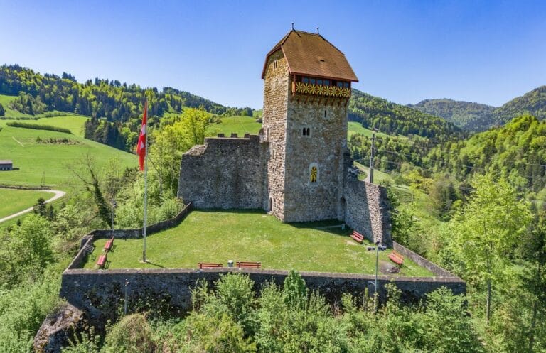
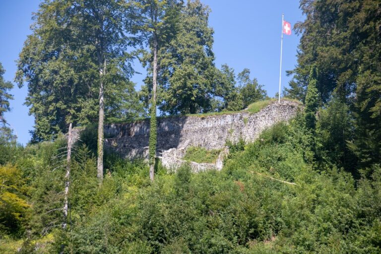
The castle stood on a projecting spur about 50 metres above the Thur River, beside the old imperial road through the Toggenburg between Wil and Wattwil. At roughly 630 to 631 metres above sea level, the site was protected by steeply descending slopes on three sides. Its surviving layout comprised a curtain wall, a residential building, and a tower, while the different masonry techniques indicate that the curtain wall and tower were probably built in separate phases.
Fortifications and Buildings
Eastern Tower
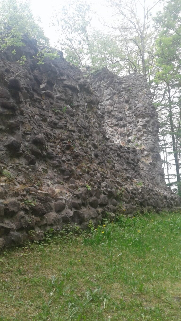
A square tower occupied the eastern side of the castle, where the natural terrain offered the easiest approach. Its ground plan measured 8 by 8 metres. The lower section was built from chunks of Nagelfluh, a conglomerate rock made of rounded pebbles cemented together. Higher up, the walls were faced on both sides with ashlar blocks of tuffstone, a relatively light stone formed from volcanic ash. The ground-level entrance was created during the excavation works rather than belonging to the original arrangement.
Curtain Wall and Gate
The curtain wall enclosed the inner castle, and the main gate stood on the western side. A small outer defensive enclosure may have stood in front of the entrance. West of the inner castle, toward the Thur, lay a large open area without fortifications that probably served as pasture. The exposed walls remain in ruinous condition and were conserved after the 1949 digging.