Castels Castle: A Habsburg Administrative Fortress in Switzerland
Site at a Glance
- Rating
- 4.7
- Popularity
- Very Low
- Country
- Switzerland
- Primary era
- Medieval
- External website
- Open
- Eras represented
- Medieval, Early Modern
- Civilizations
- Habsburg
- Site type
- Military
- Remains
- Castle
On this page13 sections
History
Castels Castle is a hilltop castle ruin in Switzerland, above Putz in the municipality of Luzein, whose tower probably dates from around 1200 and whose surviving enclosure developed into a feudal castle during the thirteenth century. Also known as Putzerburg, it later became an administrative center for successive noble and Habsburg rulers in the Prättigau. The ruins are listed as a Swiss cultural property of national significance.
Origins and Aspermont rule
The castle’s beginnings are uncertain. It may have started as an early medieval refuge or fortified church before being converted into a feudal stronghold. The earliest parts of its enclosing wall probably belong to the thirteenth century, while further building and enlargement continued into the sixteenth and seventeenth centuries. A noble family called “von Castels” is not historically attested, despite the place-name.
During the fourteenth century, Castels belonged to the lordship of Ulrich von Aspermont. By the early fourteenth century, it served as the administrative center of the Aspermont estates in Upper Prättigau. The lordship’s possessions in Lower Prättigau were administered from Solavers Castle.
Changes of ownership
Ulrich von Aspermont’s heirs sold Castels and its associated estates in 1338 to Count Friedrich V von Toggenburg and the knight Ulrich von Matsch. They divided the property in 1344, and Castels passed to the Matsch family. The castle was again in Toggenburg hands by 1394, but returned to the Matsch family after the death of Count Friedrich VII von Toggenburg, the last Count of Toggenburg, in 1436. This transfer took place through his wife, Elisabeth von Matsch.
The Matsch family repeatedly pledged the castle and its jurisdiction as security for loans. Gaudenz von Matsch, who at times lived at Castels, sold the property in 1496 to Maximilian I, the Roman-German King and Habsburg ruler. The Habsburgs were a major European dynasty whose territories included Austrian lands in the eastern and central Alps.
Habsburg administration and conflict
During the Swabian War of 1499, a conflict between the Swiss Confederation and the Habsburg side, including forces connected with Swabia and Austria, Graubünden forces captured Castels on 16 or 17 February. The inhabitants were compelled to swear allegiance to the League of the Ten Jurisdictions, one of the political leagues that formed the Three Leagues in what is now Graubünden. A later peace settlement returned the castle to the Habsburgs. By November 1499, an Austrian bailiff, Hans Schuler of Davos, was resident there. A bailiff, or Vogt, administered authority on behalf of a ruling power, and later holders of the office were often local nobles from Graubünden in an effort to reduce tensions with the League.
During the sixteenth century, Castels functioned as the administrative and logistical center of the Austrian possessions in the Prättigau. It remained the center of a Habsburg territory in Graubünden for approximately another century and a half.
Destruction and later name
In April 1622, during the Prättigau revolt against Austria, Graubünden forces besieged Castels and cut its water supply. The castle surrendered on 25 April and was partly destroyed. Count Sulz recaptured it for Austria in September, and the Lindau peace treaty of 6 September 1622 required the Prättigau communities to repair the damage. Whether those repairs were completed is uncertain.
After the Prättigau bought its independence from Austria in 1649, Graubünden forces demolished Castels. It has remained a ruin since then. The name Castels comes from an older Rhaeto-Romanic designation for a people’s stronghold, adopted by the German-speaking builders or owners. Medieval records use forms of Castels from 1344 onward, while the nearby Rhaeto-Romanic settlement of Putz gave rise to the name “Castelg da Putz.”
Remains
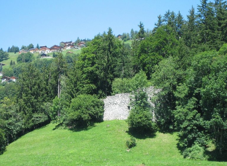
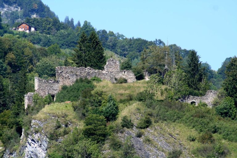
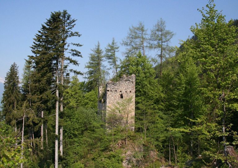
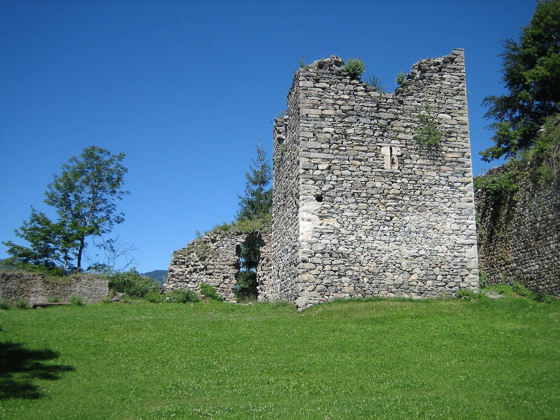
The ruins occupy a rocky promontory at approximately 1,065 metres above sea level above Putz. The ground falls steeply toward the Landquart River on the south, while steep slopes protect the site to the east and west. On the north, facing the village, a ditch-like depression forms a natural defensive feature. The castle followed the edge of this terrain within a ring wall, the enclosing defensive wall of a castle. Differences in the masonry joints show that the complex was built in several phases.
Defensive enclosure
Ring wall
The oldest surviving portions of the ring wall probably date from the thirteenth century. Repairs and possible enlargement followed during the fourteenth or fifteenth century. The wall enclosed the castle along the rocky edge of the promontory and was later adapted as the defensive needs and entrance arrangements changed.
Outer defenses and entrance
A narrow outer enclosure, or zwinger, extended from the present entrance to the southeastern corner. This enclosed strip between defensive walls was about 5 metres wide. Its outer wall contained firing slits and a half-round shell tower, a partly hollow tower integrated into a defensive wall. The arrangement probably belongs to the sixteenth or seventeenth century.
The present entrance was cut into the wall at a later date and protected by a barbican, an advanced defensive structure guarding an entrance, with openings for firearms or small cannon. The original entrance probably lay on the west side, where a narrow rock ledge ran around the ring wall. When the entrance was moved, a cross-wall blocked this ledge.
Tower and residential buildings
Keep
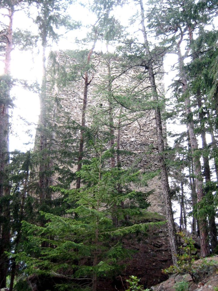
A free-standing square keep, the principal fortified tower, stands in the northwestern corner. It measures approximately 8.5 by 8.5 metres, with walls about 2 metres thick, and is separated from the ring wall by a corridor roughly 2 metres wide. Four stories are documented. The original entrance was elevated on the west side of the second story and was reached by a wooden structure spanning the space between the tower and the wall.
The tower corners were carefully constructed with rusticated ashlar blocks whose edges were dressed with a bevel. Traces of smooth plaster from the sixteenth century survive on the masonry. In the seventeenth century, the keep served as a prison and weapons store. Its lower level contained a dungeon with restraints for the hands and legs, together with a lifting device fitted with a new rope for raising and lowering prisoners.
Residential range
Surviving remains of the principal residential range lie against the wall on the west and southwest sides of the complex. A 1616 inventory describes a richly furnished two-story building. One living room contained paintings, cupboards, a wall table, and Italian leather chairs. Nearby were a sleeping chamber and a small sitting room. The same floor also included a hall used as a sleeping room, a small chamber, another living room, a chamber, a kitchen, and a chapel connected by a passage.
The lower level contained vaulted rooms, a grain store, a wine store or cellar, a butchery, and a chamber for servants. These details show the range of domestic, storage, and service functions accommodated within the residential part of the castle.
Courtyard structures
The courtyard contained a well supplied by an inlet, as well as a storage building, laundry, heated bathhouse, washing oven, and pigsty. Together, these features formed the service facilities supporting the castle’s household and administrative use. The surviving site also preserves the spatial setting in which these courtyard structures belonged to the wider enclosure.