Burg Argenschwang: A Medieval Castle Ruin in Germany

Site at a Glance
- Rating
- 4.2
- Popularity
- Very Low
- Country
- Germany
- Primary era
- Medieval
- Eras represented
- Medieval, Early Modern
- Civilizations
- Holy Roman Empire
- Site type
- Military
- Remains
- Castle
On this page14 sections
History
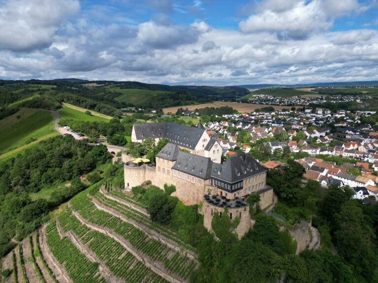
Burg Argenschwang is a late-medieval castle ruin in Germany, above the municipality of Argenschwang in the Bad Kreuznach district of Rhineland-Palatinate. Its architectural form points to construction probably during the first half of the fourteenth century. The castle is also known by the popular name Rosenburg, which came into use during the nineteenth century.
Origins and first secure reference
The early history of Burg Argenschwang remains uncertain. A reference from 1195 concerns the settlement of Argenschwang rather than the castle, and it survives only through a later source. The first secure reference to the castle dates to 19 June 1332, when it appeared in three charters associated with the foundation of perpetual masses at the Martins Chapel.
In 1332, the castle belonged to Count Johann II of Sponheim-Kreuznach. He granted it as a fief to his illegitimate son, Simon of Argenschwang. A fief was land or property held from a superior in return for service and allegiance. This arrangement placed the castle within the network of the Counts of Sponheim, a medieval noble dynasty of the Rhineland.
Feudal changes after 1416
Ulrich II of Layen received the castle as a fief in 1416. At the same time, one-fifth of the complex passed through Countess Elisabeth of Sponheim-Vianden to Count Palatine Ludwig III, known as “the Bearded.” A count palatine was a high-ranking territorial ruler in the Holy Roman Empire.
When the Counts of Sponheim became extinct in 1437, Burg Argenschwang passed among several holders. These included the Sponheim heirs, the Margraves of Baden, the Electoral Palatinate, and the Principality of Palatinate-Simmern-Zweibrücken. The Lords of Leyen retained feudal rights until 1757, after which the Lords of Hohenecken also held rights in the castle.
Purchase, destruction, and later history
Between 1783 and 1785, Margrave Karl Friedrich of Baden purchased the castle and its lordship for 52,500 gulden. A gulden was a historical currency used in parts of the German lands. The castle was destroyed in 1793 during the War of the First Coalition, a series of European conflicts fought against revolutionary France between 1792 and 1797.
At the beginning of the nineteenth century, the ruined complex was auctioned as French national property. Plans for rebuilding were drawn up in 1929 but were never carried out. Private owners acquired the ruins in 1977. Burg Argenschwang is now a cultural monument in the municipality of Argenschwang.
Remains
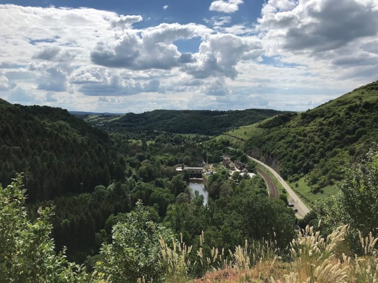
Burg Argenschwang occupies a westward-projecting mountain spur, or Spornburg, immediately above and east of Argenschwang, at about 295 metres above sea level. Steep slopes protected three sides of the site, while a broad neck ditch was cut across the eastern connection between the spur and the surrounding land. The approach ran along the northern side of the hill, crossed this ditch, and entered through the surviving gatehouse.
Entrance and outer bailey
Gatehouse
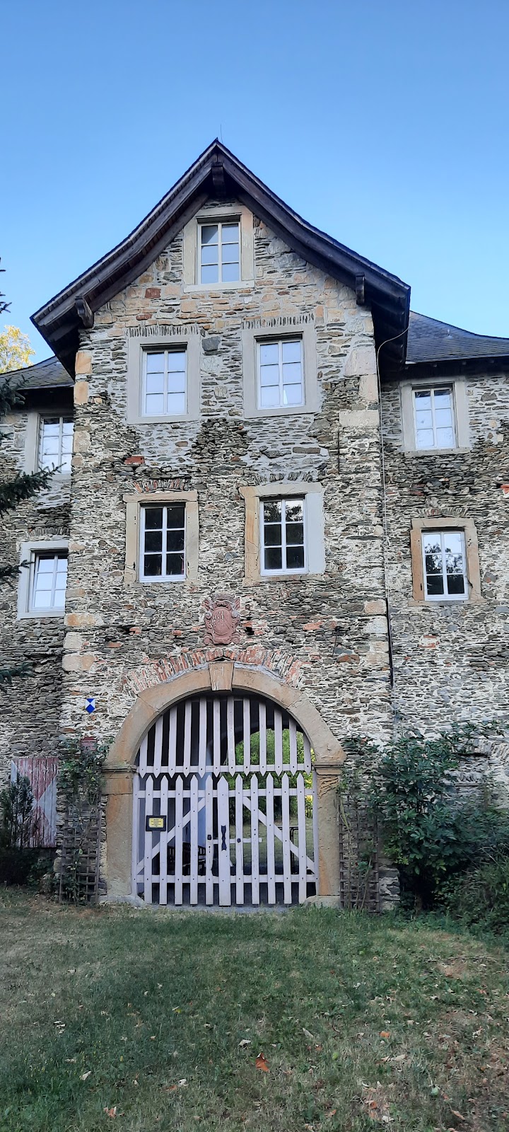
The entrance is formed by a restored, three-storey gatehouse dating from the seventeenth century. Its T-shaped plan includes a passage with a low, smoothly curved basket arch. A heraldic shield is set into the wall above the opening and is probably associated with Eberhard von Leyhen, who died in 1675. A spiral staircase in the southwest corner leads to the upper storey.
Lower bailey
The gatehouse stands within the elongated outer, or lower, bailey on the slightly lower northern part of the spur. The lower bailey formed the less elevated area of the castle complex, while the inner bailey occupied the remaining rocky ground at a higher defensive position. The surviving entrance therefore marks the principal approach from the northern side across the neck ditch.
Inner bailey and residential buildings
Enclosure and principal residence
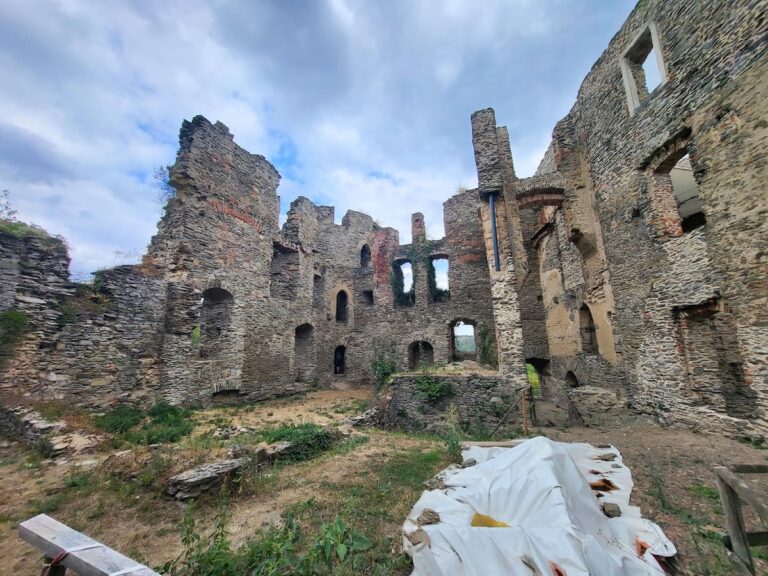
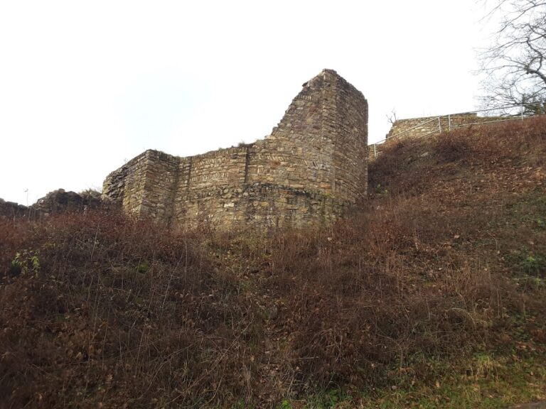
The inner bailey has a rectangular ground plan and probably had its entrance on the northern side. Wall remains survive there several metres high, although dense overgrowth makes the layout difficult to survey. At the tip of the spur stood the principal residential building, placed in the most secure part of the castle. It was built of rubble masonry, using irregularly shaped stones, with ashlar quoins, or precisely dressed corner stones. A round window opening framed with dressed stone survives on the western side. The building also appears in a depiction made before 1629.
Southern building
Excavations in the 1920s revealed another building in the southern part of the inner bailey. It projected several metres beyond the curtain wall, the enclosing defensive wall of the bailey. The remains of a vaulted cellar survive, and the building may have been added at a later date.
Defensive works
Structure above the neck ditch
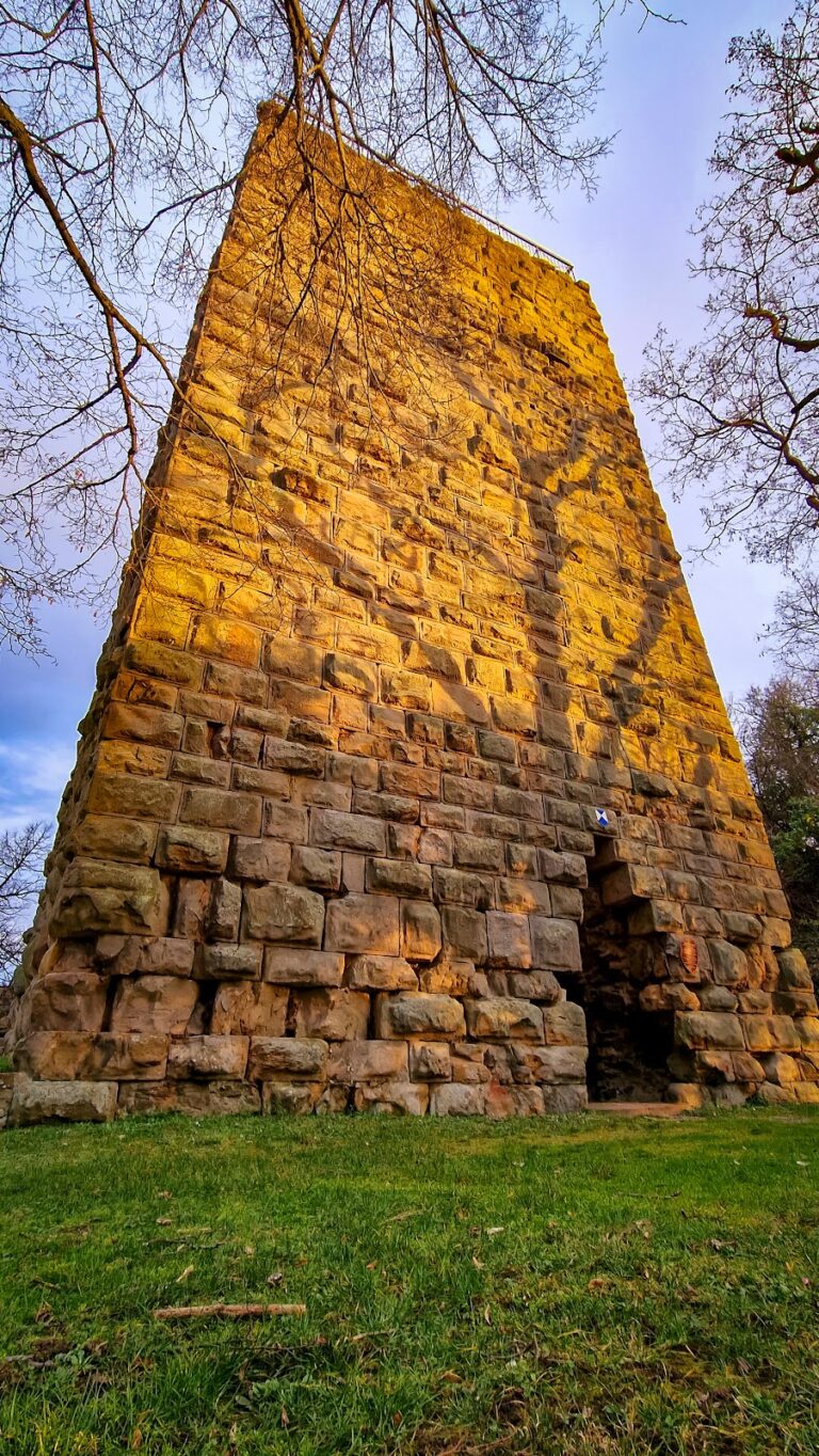
A tall structure formerly stood above the neck ditch on the exposed side facing the likely line of attack. Its precise function is uncertain. It may have been a residential tower, a fortified tower designed partly or primarily for habitation, or a shield wall, a particularly strong section of fortification placed on the side most exposed to attack. Two corner turrets reinforced this defensive work.
Pentagonal projecting structure
Probably during the seventeenth century, a projecting pentagonal structure with a bastion-like form was added in front of the earlier defensive work. One of its points faced towards the neck ditch. Its position strengthened the attack-facing side of the castle and added a later defensive element to the medieval arrangement.
Nearby sites