Schalberg Ruins: A Medieval Hilltop Castle in Switzerland

Site at a Glance
- Rating
- 4.4
- Popularity
- Very Low
- Country
- Switzerland
- Primary era
- Medieval
- External website
- Open
- Eras represented
- Medieval
- Civilizations
- Holy Roman Empire
- Site type
- Military
- Remains
- Castle
On this page10 sections
History
Schalberg Ruins is a medieval hilltop castle in Switzerland, on the territory of present-day Pfeffingen in the canton of Basel-Landschaft. The castle was built by the Basel noble Schaler family between about 1250 and 1300, probably in the late thirteenth century. It stood beside the route to the Platten Pass, an important medieval connection between the Birseck and Laufental regions, and its construction was probably driven less by toll collection than by rivalry with the Münch family.
Construction and Schaler lordship
The Schalers built Schalberg on their own property. Historian Carl Roth attributed the work either to Peter Schaler or to his son Rudolf. The branch of the family that lived at the castle adopted the name “von Schalberg.” The site was established somewhat later than the neighboring Schaler castles of Engenstein and Frohberg, with Engenstein described as Schalberg’s predecessor.
At the beginning of the fourteenth century, the Schalers transferred Schalberg to the Bishop of Basel and received it back as a fief. A fief was property or a territorial right granted by a powerful lord to a subordinate in return for allegiance and service. The bishop was both the senior Roman Catholic authority of the Diocese of Basel and a territorial lord, so the arrangement placed the castle within the protection of a powerful political ally. The transfer may not have been entirely voluntary.
Damage, abandonment, and succession
An earthquake in 1356 damaged Schalberg, after which the castle was repaired. It was probably abandoned shortly after 1400, as political power became increasingly concentrated in towns rather than in castles. When the Schaler family became extinct in 1437, the Counts of Tierstein acquired Schalberg. Their main interest probably lay in the rights connected with the castle, including taxation and jurisdiction, rather than in the buildings, which were already deteriorating. The last recorded reference to Schalberg as a castle dates from 1452.
Conservation and heritage status
Parts of the surviving ruin were conserved in 1975, while detailed archaeological excavation remains to be carried out. The site is traditionally associated with the Schalberg Scout group from Basel. Schalberg is listed as a Swiss cultural property of regional significance and classified as a category B property.
Remains
Ridge-top layout
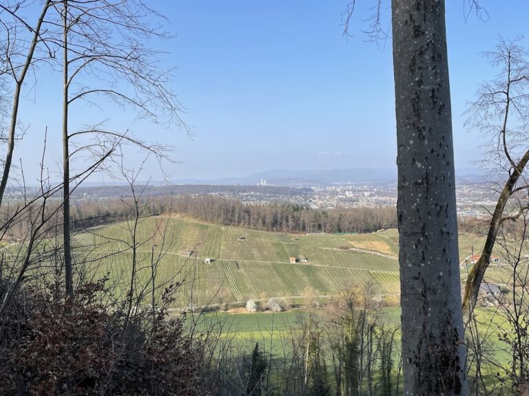
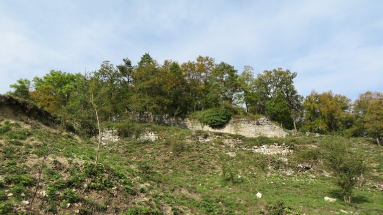
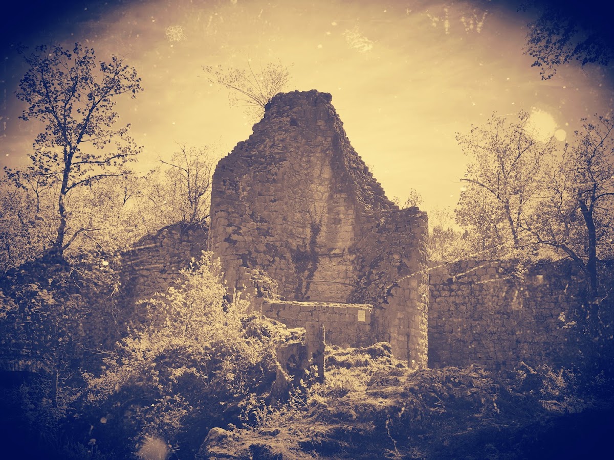
Schalberg occupies an elongated limestone ridge at an elevation of 444 metres above the narrowest part of the Aesch Klus valley. Steep rock slopes border the long sides of the ridge. The castle formed a two-part complex extending for more than 100 metres, with an upper castle and a lower castle to the northwest. Terraced surfaces indicate the extent of the lower castle.
Walls and approach defenses
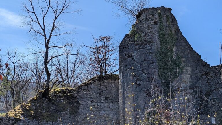
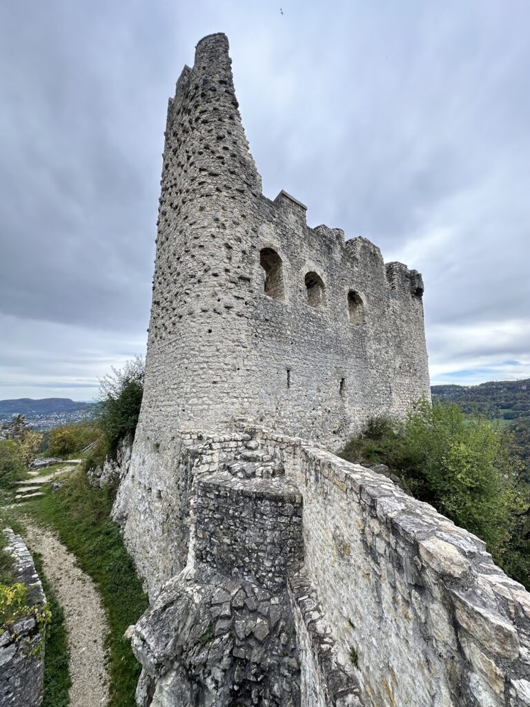
The walls surrounding the round tower reach up to 2 metres in thickness. The surviving masonry outlines a tower with an external diameter of almost 7 metres and an internal clear width of about 3 metres. Access from the southeast was obstructed by a natural depression. On the northwest side, two artificially cut neck ditches crossed the ridge connection and restricted approaches to the fortified site. Limestone removed while cutting the ditches was reused in the castle’s construction.
Entrance and upper castle
The original approach came from the east, passed south of the round tower and outside the upper castle, then crossed a small gate ditch west of the surrounding defensive wall. Beams now bridge the ditch. Several window openings were inserted into the southern wall of the upper castle, although their function and date require building-archaeological investigation. A blocked passage in the upper-castle masonry probably led to a wall walk, a passage along the top of a fortification, supported by beams whose sockets remain visible.
Buildings and nearby cave
Several buildings stood inside the castle, and surviving wall remains allow some of them to be identified. Their functions require detailed excavation. The ascent to the ruin passes the Schalberg Cave, a natural cave containing evidence of Stone Age habitation. The cave is associated with the approach to the castle but is a separate feature.
Relationship to neighboring ruins
Schalberg forms part of a group of nearby castle sites. Münchsberg lies about 390 metres to the southeast, while Engenstein is about 100 metres to the southeast, between the two sites. Frohberg, also known as Tschäpperli or Tschöpperli, lies northwest of Schalberg.