Ruins Münchsberg: A Medieval Hilltop Castle in Switzerland
Site at a Glance
- Rating
- 4
- Popularity
- Very Low
- Country
- Switzerland
- Primary era
- Medieval
- Eras represented
- Medieval
- Civilizations
- Holy Roman Empire
- Site type
- Military
- Remains
- Castle
On this page9 sections
History
Ruins Münchsberg is the ruin of a hilltop castle in Switzerland, built by Konrad III Münch after 1286 in the second half of the thirteenth century. The fortified residence stood on the Münch family’s allod, privately held land, above the Klus valley and near the route toward the Platten Pass. Its foundation probably sought to restrain the expansion of the nearby Schaler family rather than simply control the pass.
The rise of the Münch family
The Münchs had initially served as ministerials of the Bishop of Basel. A ministerial was a medieval service noble who held office or property for a more powerful lord. In 1227, the bishop’s ministerials gained the right to hold fiefs, meaning property granted in return for recognized dependence and service. The first Münch reached knightly rank in 1232, and during the thirteenth century the family became one of the leading knightly families in the Bishopric of Basel, the ecclesiastical principality ruled by the bishop.
After founding the castle, Konrad III’s branch adopted the name Münch von Münchsberg. In 1318, his son Konrad IV transferred the castle and its associated land to the Bishop of Basel and received them back as a fief. This arrangement placed the property under the protection of a more powerful lord while preserving the family’s connection with it.
Damage, abandonment, and later ownership
The Basel earthquake of 1356, a major medieval earthquake that severely affected Basel and the surrounding region, killed Peter Münch, the last member of the Münch von Münchsberg branch, and damaged the castle. Münchsberg was then abandoned as a castle. Political attention in the region was shifting toward the towns, and the Münchs apparently did not finance its reconstruction. After Peter’s death, the fief passed to the Münch von Landskron line.
That branch ended with Hans Münch’s death in 1459, after which the Lords of Rotberg took control of the ruins. In 1515, during Solothurn’s northward expansion, the Rotbergs attempted to sell Münchsberg to Solothurn as an addition to their ancestral lordship. The proposed acquisition included the associated estates and rights, such as the Aesch manorial estate, tax collection, and jurisdiction. The Bishop of Basel initially prevented the sale, but approved it about forty years later.
A nineteenth-century boundary adjustment between Solothurn and Basel-Landschaft placed the site in the Canton of Basel-Landschaft. Münchsberg is designated a class B Swiss cultural property of regional significance.
Remains
Setting and defenses
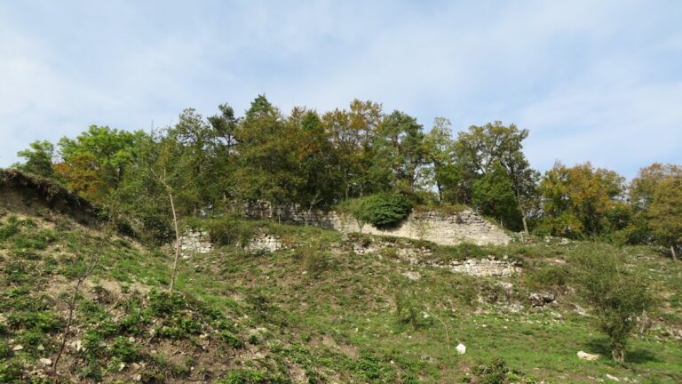
The ruins occupy a ridge divided by several rocky outcrops at 477 metres above the Klus valley. The site lies on the route toward the Platten Pass, a medieval connection between the Birseck and Laufental regions, within the municipality of Pfeffingen near Aesch and Pfeffingen. It is approximately 390 metres northwest of Schalberg and the earlier site of Engenstein. Woodland now heavily covers the remains.
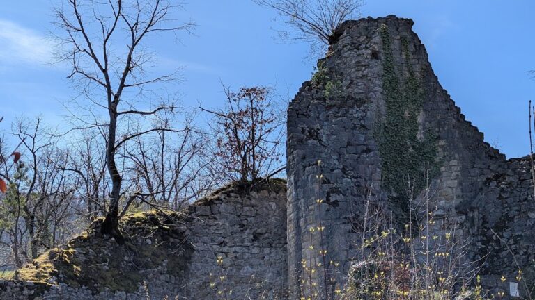
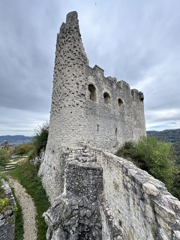
The northeastern long side of the castle was defended by steep rocks. On the southwestern long side and southeastern short side, approach was made more difficult by a natural ditch that had been artificially deepened. Material removed during this work was reused as building material. The extensive complex was divided into two sections by the rocky outcrops. Surviving elements include tower-like buildings and a large enceinte, a continuous enclosing defensive wall.
Main castle
Residential building
A residential building stood on the southeastern rocky outcrop. It measured 19 by 14 metres and had walls up to 3 metres thick. Very scant remains of further buildings, probably attached to the residential tower, survive nearby, leaving their construction and functions uncertain.
Northwestern buildings
At least three additional buildings occupied the northwestern rocky outcrop. Some measured as much as 16 by 16 metres. Their poor preservation leaves their original functions and construction unresolved, but they formed the second major group within the castle’s divided main area.
Forework
Southeast of the main castle, across a neck ditch cut through the ridge, an apparently artificial mound measuring more than 15 by 15 metres marks a possible forework. The mound is surrounded by a relatively shallow ditch. Its surviving condition leaves open whether the forework and related buildings were ever completed.