Fürstenstein: Medieval Castle Ruins in Switzerland

Site at a Glance
- Rating
- 4.7
- Popularity
- Very Low
- Country
- Switzerland
- Primary era
- Medieval
- External website
- Open
- Eras represented
- Medieval
- Civilizations
- Holy Roman Empire
- Site type
- Military
- Remains
- Castle
On this page8 sections
History
Fürstenstein is a medieval hilltop castle ruin in Switzerland, situated within the municipality of Ettingen in the canton of Basel-Landschaft. Its origins and original purpose are unknown, although the Lords of Rotberg, a local noble family whose power was concentrated in the surrounding region, are considered the more likely founders because they controlled much of the area.
The Rotberg fief
The castle was first mentioned in 1302 as an episcopal fief held by the Rotberg family. An episcopal fief was land or rights formally granted by a bishop to a lay lord or institution in return for allegiance and service. The name Fürstenberg referred to the historical castle and the rights associated with it, but did not by itself prove that the Bishop of Basel had built the fortress.
Fürstenstein stood at the entrance to the Wallental and occupied a narrow limestone ridge southwest of Ettingen and southeast of Hofstetten-Flüh. Its elevated position gave the site the character of a hilltop castle, a fortified residence built on high ground for defence and control of the surrounding area.
Siege and repair
During the war between King Albert and the Bishop of Basel, Habsburg forces besieged the fortress. The Habsburgs were a major European ruling dynasty whose political and territorial power extended across the region during the Middle Ages. The siege was abandoned after King Albert was murdered on 1 May 1308.
The castle was later damaged by the Basel earthquake, a major seismic event that affected the Basel region, but it was repaired soon afterward. The repairs allowed Fürstenstein to remain part of the political and military landscape of the surrounding lordship.
The conflict of 1410–1411
In 1410, Hans Ludmann von Rotberg, a former authoritarian mayor of Basel, withdrew to Fürstenstein for protection. He strengthened his position by allying with Katharina of Burgundy, a Burgundian noblewoman involved in regional political alliances during the early fifteenth century. Katharina allied herself with Basel in 1411.
Her feud with Heinrich zu Rhein and Rudolf von Neuenstein led to a direct attack on Fürstenstein. Basel, acting as Katharina’s ally, subsequently destroyed the castle. Heinrich zu Rhein and the entire garrison were beheaded after the attack.
Ruins and later history
In 1515, the ruins and the rights attached to them were sold to Solothurn together with the entire Rotberg lordship. Solothurn is a Swiss city and canton. The remaining masonry was later reduced when local residents took stone from the ruins for house construction.
Fürstenstein was eventually buried and difficult to reach. In 1864, a local nature enthusiast had a stairway cut into the rock and partly levelled the surface, bringing the site into a more accessible physical form. The ruins are listed as a Class B Swiss cultural property of regional significance.
Remains
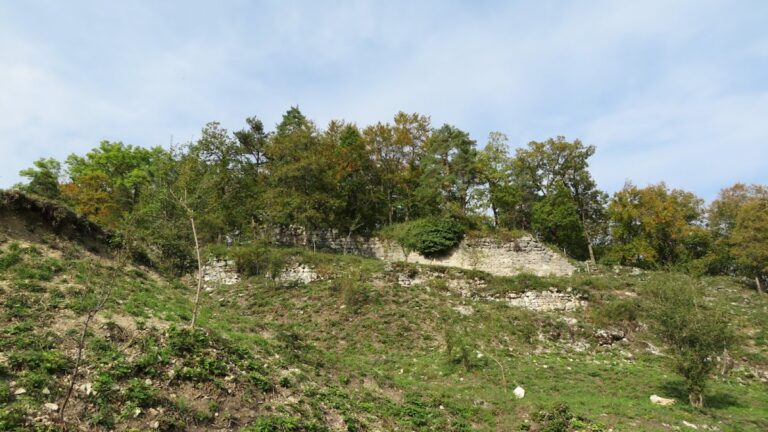
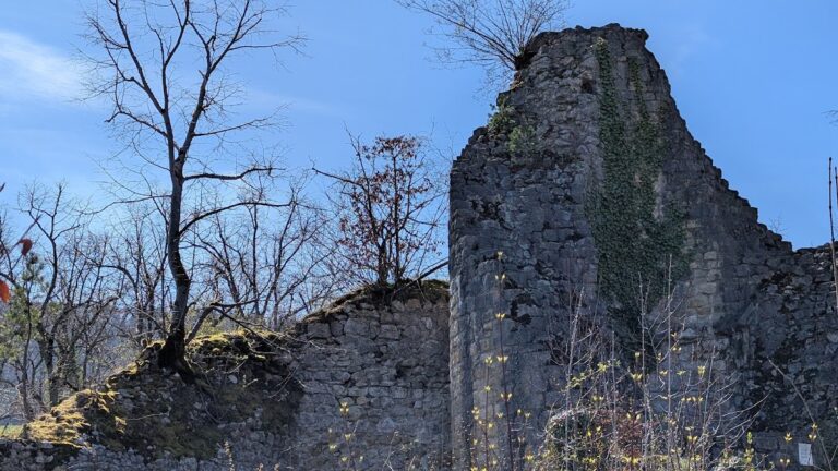
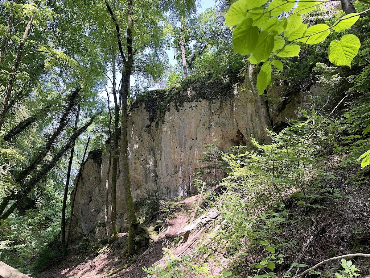
Fürstenstein occupies a rugged limestone ridge approximately 590 metres above sea level at the entrance to the Wallental. The Jurassic limestone layers are almost vertical in this area, creating an exceptionally narrow crest. The ridge widens somewhat at its eastern end, where the principal surviving masonry is concentrated. Roughly hewn limestone pieces form the visible walls, while surface finds indicate that the western end was also used in some manner.
Eastern approach and upper buildings
The original approach reached a gate building on the eastern side at the foot of the castle. From there, a steep ascent and stairs led toward the higher parts of the ridge. A stairway cut directly into the rock remains visible and now forms the modern access route. The masonry visible beside it belongs to the platform added in 1864.
A reference from 1412 distinguishes between an upper house and a lower house. The wider eastern section of the ridge probably contained the principal building and a tower. Surviving wall fragments in this area provide the clearest physical indication of the castle’s built core, although the complete extent of the complex remains difficult to determine.
Terraces and structural traces
The ground south of the castle appears to have been artificially terraced, probably to accommodate utility buildings. Faded holes in the southern face of the ridge may represent beam sockets, suggesting that timber elements were attached to or supported by the rock face. Together with the narrow ridge, the terraces and stairway show how the castle was adapted to a highly constrained limestone setting.