Burg Milseburg: A Medieval Hilltop Castle in Germany

Site at a Glance
- Rating
- 4.4
- Popularity
- Very Low
- Country
- Germany
- Primary era
- Medieval
- Eras represented
- Medieval
- Civilizations
- Holy Roman Empire
- Site type
- Military
- Remains
- Castle
On this page6 sections
History
Burg Milseburg is a former medieval hilltop castle in Germany, near Kleinsassen in the municipality of Hofbieber, Hesse. Also known as Liedenküppel, it is distinct from the Celtic ringwork on Milseburg mountain. The castle occupied a strategic elevated position opposite Bieberstein and above a local route, suggesting that it may have served as an early fortification.
Early references and uncertain beginnings
The mountain was mentioned in a document issued by Emperor Otto II on 25 July 980. Otto II was a tenth-century ruler of the Holy Roman Empire. The document referred to “Milsiburg” as a boundary place between the territory of Fulda Abbey and the area belonging to Hünfeld. Because the name referred to a castle, a fortification probably existed at the time, although the castle itself was not explicitly recorded until 1119.
The Frankish noble family von Milz appears in early records of Fulda Abbey, a major medieval Benedictine monastery and ecclesiastical lord in central Germany. The family also held Haselstein Castle as a fief, but its precise connection with Burg Milseburg remains uncertain. The date of construction or renewal at Milseburg is likewise unresolved. One interpretation places its capture and rebuilding under Fulda abbot Erlolf von Bergholz between 1114 and 1122. Another associates its construction or renewal, along with Bieberstein and Haselstein castles, with Abbot Markward between 1150 and 1165.
Abandonment
Burg Milseburg was abandoned in the thirteenth century. By 1450 it was already described as a ruin, leaving the site as a castle location marked mainly by surviving wall fragments and earthworks.
Remains
Mountain setting and approach
The castle site lies at about 613 metres above sea level on a steep, isolated mountain cone projecting in front of the Milseburg plateau. A ridge joins the cone to the main mountain on the southeast, while a small unnamed stream runs from east to west north of the castle hill. The northern and western sides are enclosed by steep terrain. On the southeast, a pass-like transition leads toward the higher plateau. A neck ditch protected this approach, and its northern section survives as a roughly circular depression. A terrace on the southeastern side indicates a further partly enclosing defensive wall running from southwest to northeast.
Ring wall and residential tower
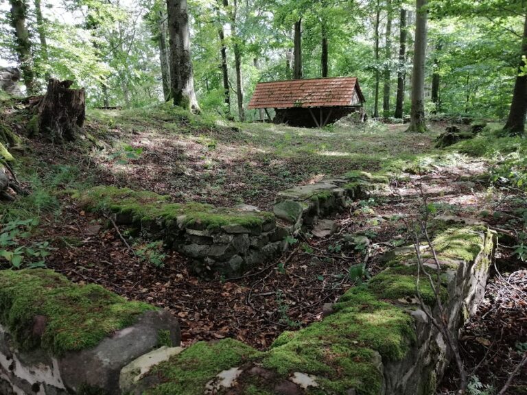
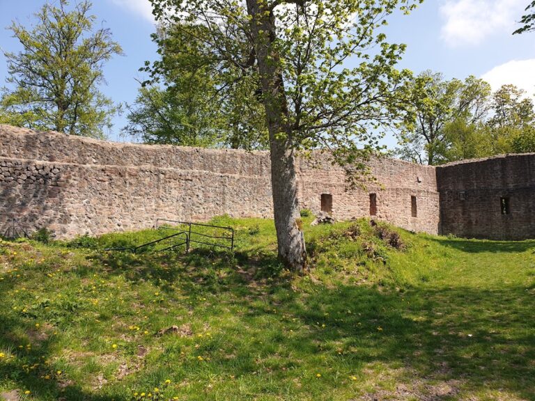
The castle occupied a compact area of approximately 21 by 24 metres. Its ground plan indicates a complete ring wall built continuously of fieldstone. The inner face was made from smooth, jointed stones. About 50 centimetres of the southwestern section survives, with a breach through the wall; this section is approximately 1.20 metres thick.
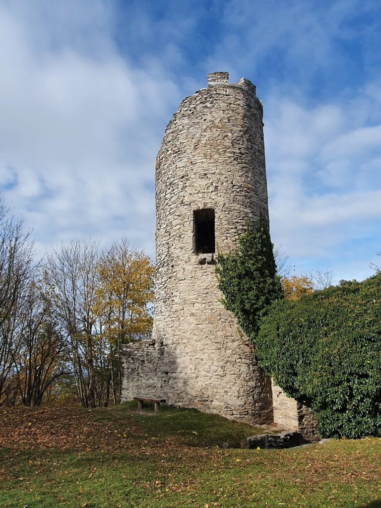
The plan describes a small, roughly round tower castle with an angular core. The only permanent building appears to have been a residential tower, whose former position is marked by a depression. Parts of the enclosing wall remain around the site. A weathered modern boundary stone stands on the castle plateau near the former tower location.
Nearby sites